Légende
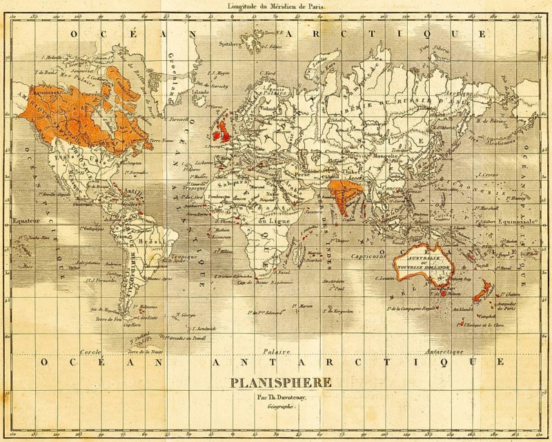
World map with England and the English colonies in the 19th century, color coding, French lettering, zero longitude through Paris, geography, Great Britain, steel engraving, historical illustration 1842
Date
25 mars 2026
Crédit
Photo12/imageBROKER/Wolfgang Diederich
Notre référence
BRK26D29_333
Model release
Non
Property release
Non
Licence
Libre de droits
Format disponible
77.3Mo (10.9Mo) / 49.2cm x 39.4cm / 5808 x 4653 (300dpi)