Période

861 résultats pour : Eye level

  • Page
  • sur
  • 9
Connectez-vous pour plus de résultats
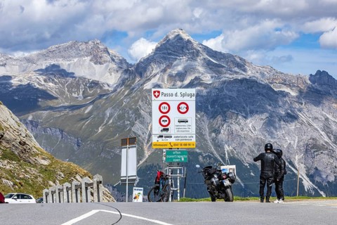
Pass height. The Splügen Pass lies at 2, 114 metres above sea level and connects Splügen in
BRK26J03_276

Pass height. The Splügen Pass lies at 2, 114 metre...
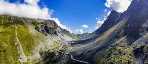
Albula Pass, a 2312 m above sea level mountain crossing in the Albula Alps in the Swiss canton of
BRK26J06_090

Albula Pass, a 2312 m above sea level mountain cro...
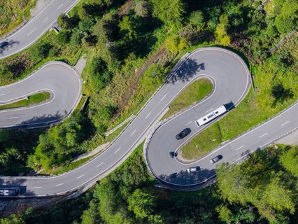
The Maloja Pass is a Swiss alpine pass located 1812 meters above sea level, which connects Bergell
BRK26J10_010

The Maloja Pass is a Swiss alpine pass located 181...
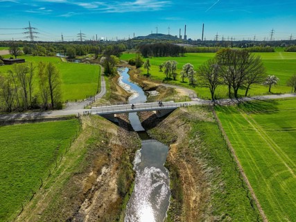
Dorsten, North Rhine-Westphalia, Germany - Renaturalised Rapphofs (also Rapphoffs) Mühlenbach,
BRK26J05_098

Dorsten, North Rhine-Westphalia, Germany - Renatur...
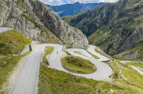
La Tremola, world-famous serpentine road through Val Tremolo. The Tremolastrasse is the longest
BRK26J15_383

La Tremola, world-famous serpentine road through V...
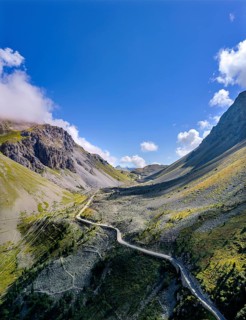
Albula Pass, a 2312 m above sea level mountain crossing in the Albula Alps in the Swiss canton of
BRK26J05_177

Albula Pass, a 2312 m above sea level mountain cro...
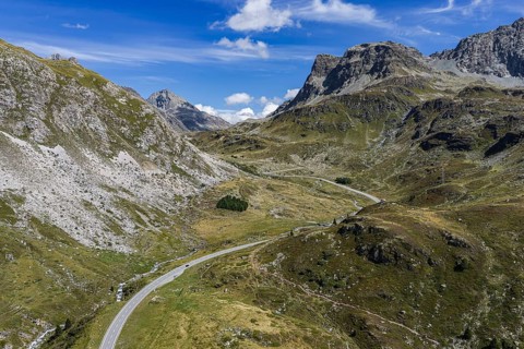
The Julier Pass is an alpine pass in the canton of Graubünden in Switzerland. With a peak height of
BRK26J04_272

The Julier Pass is an alpine pass in the canton of...
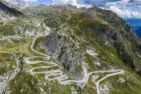
La Tremola, world-famous serpentine road through Val Tremolo. The Tremolastrasse is the longest
BRK26J06_121

La Tremola, world-famous serpentine road through V...
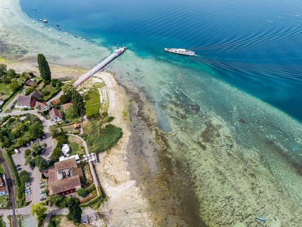
Jetty with sightseeing boat in Mannenbach harbour in the canton of Thurgau. Lake Constance has a
BRK26J06_181

Jetty with sightseeing boat in Mannenbach harbour ...
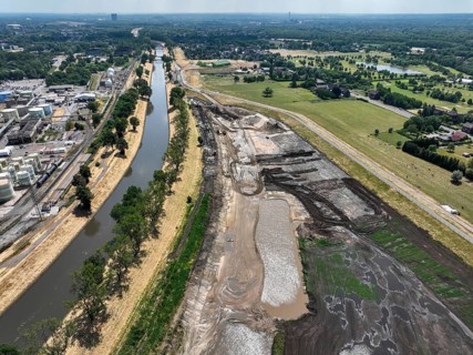
Oberhausen, North Rhine-Westphalia, Germany, renaturalisation of the Emscher in the Holtener Bruch.
BRK26J39_109

Oberhausen, North Rhine-Westphalia, Germany, renat...
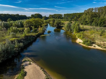
Datteln, North Rhine-Westphalia, Germany - Lippe, river and floodplain development of the Lippe
BRK26J12_273

Datteln, North Rhine-Westphalia, Germany - Lippe, ...
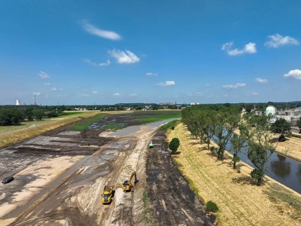
Oberhausen, North Rhine-Westphalia, Germany, renaturalisation of the Emscher in the Holtener Bruch.
BRK26J43_371

Oberhausen, North Rhine-Westphalia, Germany, renat...
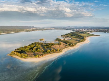
Aerial view of the Mettnau peninsula near Radolfzell on Lake Constance at historic lows, low tide
BRK26J03_117

Aerial view of the Mettnau peninsula near Radolfze...
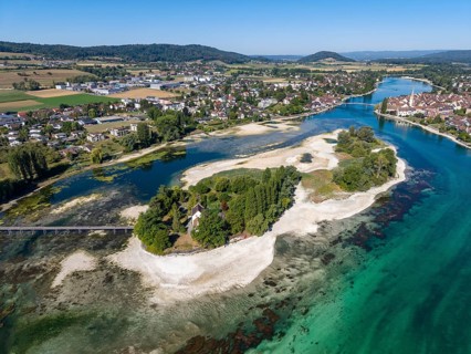
Aerial view of the Werd archipelago in the westernmost part of Lake Constance, historic low level
BRK26J08_112

Aerial view of the Werd archipelago in the western...
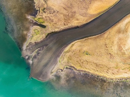
Aerial view, top-down view of the Radolfzell Aachen estuary at historic lows, low tide at water
BRK26J36_338

Aerial view, top-down view of the Radolfzell Aache...
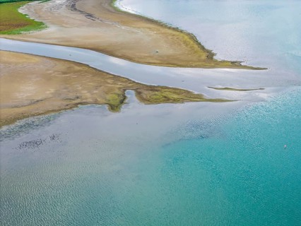
The Radolfzeller Aach flows into Lake Constance. The river carries little water. The water level in
BRK26J27_434

The Radolfzeller Aach flows into Lake Constance. T...
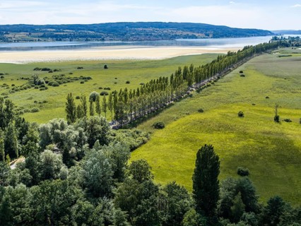
The 1, 300 meter long poplar alley on Reichenauer Damm connects the mainland near Constance with
BRK26J11_084

The 1, 300 meter long poplar alley on Reichenauer ...
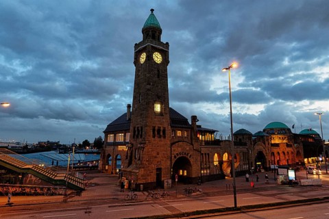
Gauge tower, clock tower on the Elbe, historical landmark at the St. Pauli Landing Bridges at dusk,
BRK26J30_209

Gauge tower, clock tower on the Elbe, historical l...
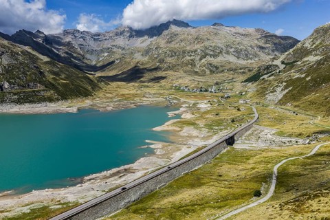
Lago di Montespluga. 1, 876 meter high reservoir in the Lombardy region of Italy on the Splügen
BRK26J03_061

Lago di Montespluga. 1, 876 meter high reservoir i...
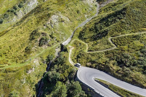
North side of the Splügen. The Splügen Pass lies at an altitude of 2, 114 metres above sea level
BRK26J10_212

North side of the Splügen. The Splügen Pass lies a...
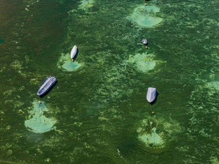
Drought on Lake Constance. The marina of Mannenbach-Salenstein in the canton of Thurgau is almost
BRK26J36_304

Drought on Lake Constance. The marina of Mannenbac...
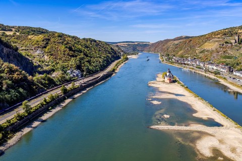
The level of the Rhine is at a low level. Rhine navigation is extremely affected by low tide levels
BRK26I62_318

The level of the Rhine is at a low level. Rhine na...
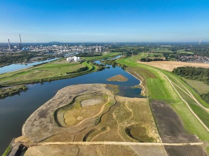
Haltern-Marl, North Rhine-Westphalia, Germany - Lippe, flood protection in the
BRK26I67_218

Haltern-Marl, North Rhine-Westphalia, Germany - Li...
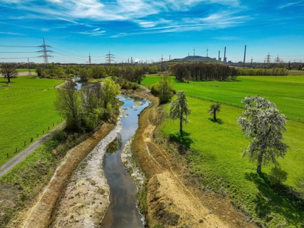
Dorsten, North Rhine-Westphalia, Germany - Renaturalised Rapphofs (also Rapphoffs) Mühlenbach,
BRK26I56_145

Dorsten, North Rhine-Westphalia, Germany - Renatur...
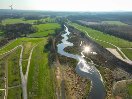
Castrop-Rauxel, Ruhr region, North Rhine-Westphalia, Germany - Restored Emscher, EMSCHERLAND
BRK26I99_191

Castrop-Rauxel, Ruhr region, North Rhine-Westphali...
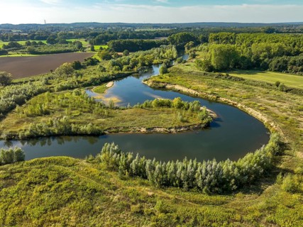
Datteln, North Rhine-Westphalia, Germany - Lippe, river and floodplain development of the Lippe
BRK26I66_481

Datteln, North Rhine-Westphalia, Germany - Lippe, ...
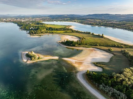
Aerial view of the Mettnau peninsula near Radolfzell on Lake Constance at historic lows, low tide
BRK26I55_416

Aerial view of the Mettnau peninsula near Radolfze...
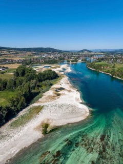
Aerial view of the Werd archipelago in the westernmost part of Lake Constance, historic low level
BRK26I70_363

Aerial view of the Werd archipelago in the western...
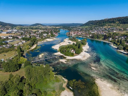
Aerial view of the Werd archipelago in the westernmost part of Lake Constance, historic low level
BRK26I62_057

Aerial view of the Werd archipelago in the western...
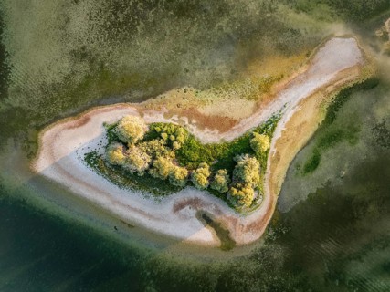
Aerial view, top-down view of Love Island, near the Mettnau peninsula at historic lows, low tide at
BRK26I55_225

Aerial view, top-down view of Love Island, near th...
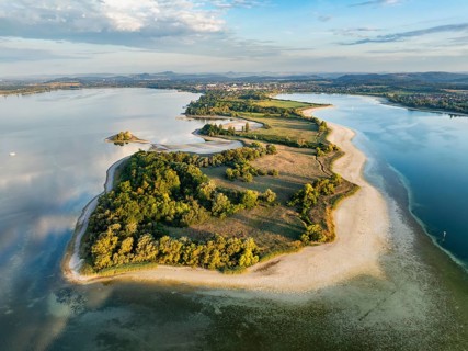
Aerial view of the Mettnau peninsula near Radolfzell on Lake Constance at historic lows, low tide
BRK26I54_062

Aerial view of the Mettnau peninsula near Radolfze...
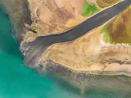
Aerial view, top-down view of the Radolfzell Aachen estuary at historic lows, low tide at water
BRK26I92_036

Aerial view, top-down view of the Radolfzell Aache...
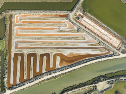
Saline ponds at the salt works near Chiclana de la Frontera. The orange-red colour depends on the
BRK26I92_309

Saline ponds at the salt works near Chiclana de la...
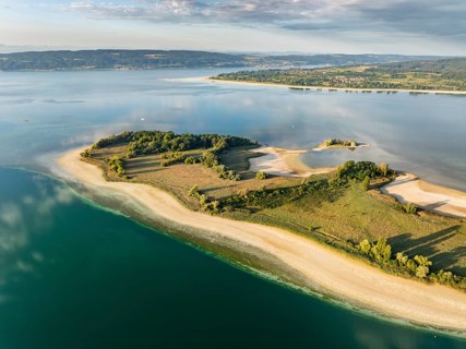
Aerial view of the Mettnau peninsula near Radolfzell on Lake Constance at historic lows, low tide
BRK26I53_225

Aerial view of the Mettnau peninsula near Radolfze...
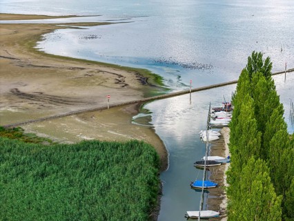
Lake Constance at the port of moss on Lake Constance with little water. The water level is at a low
BRK26I68_103

Lake Constance at the port of moss on Lake Constan...
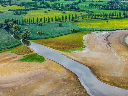
The Radolfzeller Aach flows into Lake Constance. The river carries little water. The water level in
BRK26I69_395

The Radolfzeller Aach flows into Lake Constance. T...
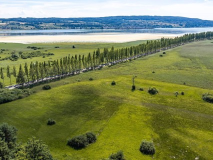
The 1, 300 meter long poplar alley on Reichenauer Damm connects the mainland near Constance with
BRK26I66_091

The 1, 300 meter long poplar alley on Reichenauer ...
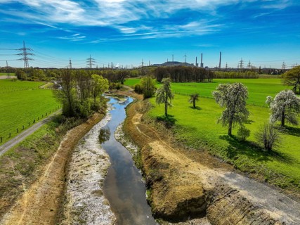
Dorsten, North Rhine-Westphalia, Germany - Renaturalised Rapphofs (also Rapphoffs) Mühlenbach,
BRK26I05_383

Dorsten, North Rhine-Westphalia, Germany - Renatur...
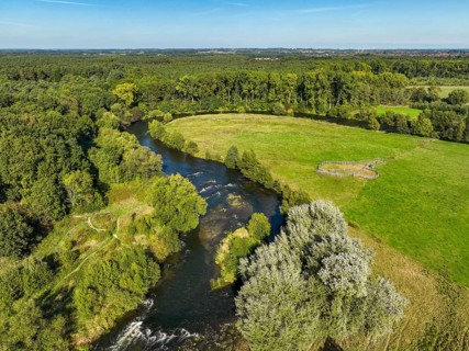
Datteln, North Rhine-Westphalia, Germany - Lippe, river and floodplain development of the Lippe
BRK26I22_259

Datteln, North Rhine-Westphalia, Germany - Lippe, ...
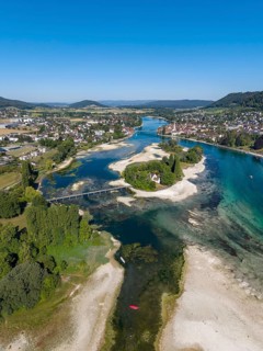
Aerial view of the Werd archipelago in the westernmost part of Lake Constance, historic low level
BRK26I18_004

Aerial view of the Werd archipelago in the western...
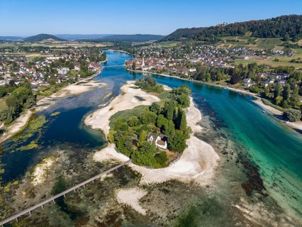
Aerial view of the Werd archipelago in the westernmost part of Lake Constance, historic low level
BRK26I17_228

Aerial view of the Werd archipelago in the western...
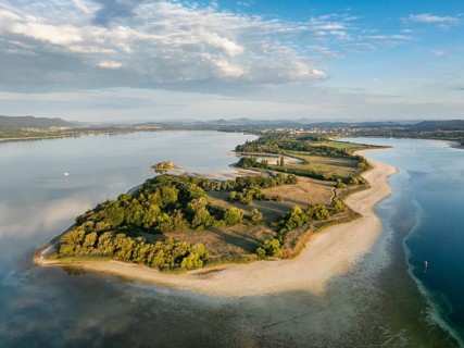
Aerial view of the Mettnau peninsula near Radolfzell on Lake Constance at historic lows, low tide
BRK26I06_089

Aerial view of the Mettnau peninsula near Radolfze...
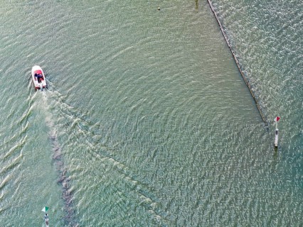
Motorboat entering the port of moss. Waves form on the surface of the water. The water level in
BRK26I17_129

Motorboat entering the port of moss. Waves form on...
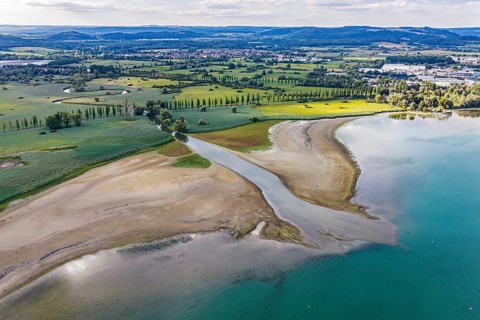
The Radolfzeller Aach flows into Lake Constance. The river carries little water. The water level in
BRK26I11_091

The Radolfzeller Aach flows into Lake Constance. T...
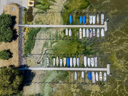
Drought on Lake Constance. The marina of Mannenbach-Salenstein in the canton of Thurgau is almost
BRK26I22_108

Drought on Lake Constance. The marina of Mannenbac...
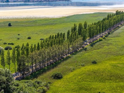
The 1, 300 meter long poplar alley on Reichenauer Damm connects the mainland near Constance with
BRK26I21_252

The 1, 300 meter long poplar alley on Reichenauer ...
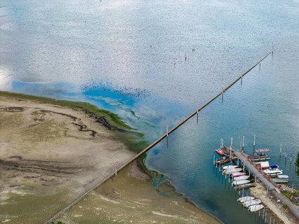
Lake Constance at the port of moss on Lake Constance with little water. The water level is at a low
BRK26I23_465

Lake Constance at the port of moss on Lake Constan...
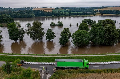
Ruhr floods near Mülheim-Menden, damage to the Ruhr dyke was sealed with large sand packs, flooded
BRK26H91_328

Ruhr floods near Mülheim-Menden, damage to the Ruh...
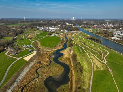
Castrop-Rauxel, North Rhine-Westphalia, Germany - EMSCHERLAND adventure park, new nature and water
BRK26H95_223

Castrop-Rauxel, North Rhine-Westphalia, Germany - ...
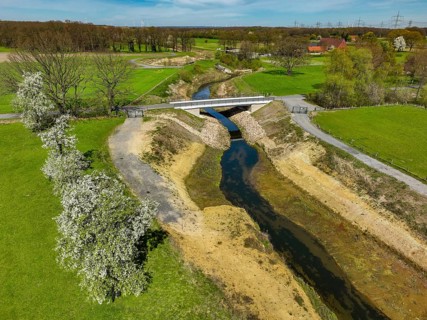
Dorsten, North Rhine-Westphalia, Germany - Renaturalised Rapphofs (also Rapphoffs) Mühlenbach,
BRK26H61_198

Dorsten, North Rhine-Westphalia, Germany - Renatur...
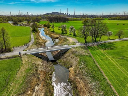
Dorsten, North Rhine-Westphalia, Germany - Renaturalised Rapphofs (also Rapphoffs) Mühlenbach,
BRK26H57_462

Dorsten, North Rhine-Westphalia, Germany - Renatur...
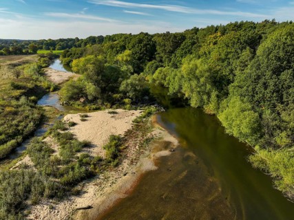
Datteln, North Rhine-Westphalia, Germany - Lippe, river and floodplain development of the Lippe
BRK26H99_310

Datteln, North Rhine-Westphalia, Germany - Lippe, ...
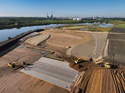
Haltern-Marl, North Rhine-Westphalia, Germany - Lippe, flood protection in the
BRK26H72_052

Haltern-Marl, North Rhine-Westphalia, Germany - Li...
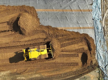
Haltern-Marl, North Rhine-Westphalia, Germany - Lippe, flood protection in the
BRK26H87_278

Haltern-Marl, North Rhine-Westphalia, Germany - Li...
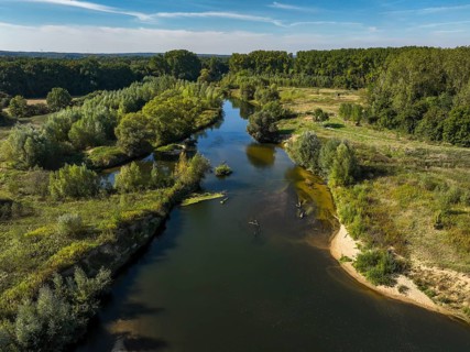
Datteln, North Rhine-Westphalia, Germany - Lippe, river and floodplain development of the Lippe
BRK26H70_023

Datteln, North Rhine-Westphalia, Germany - Lippe, ...
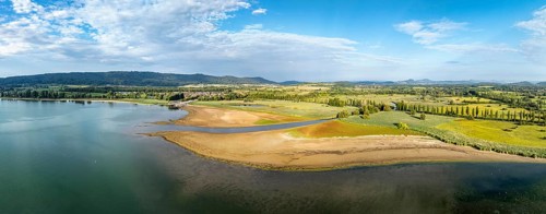
Aerial view, panorama of the Radolfzell Aachen estuary at historic lows, low tide at water level
BRK26H82_242

Aerial view, panorama of the Radolfzell Aachen est...
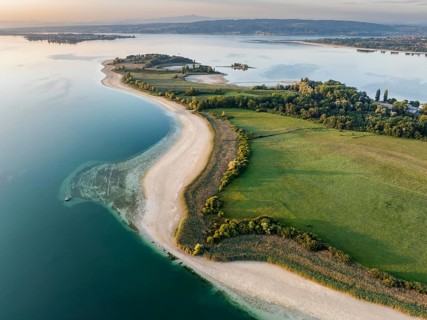
Aerial view of the Mettnau peninsula near Radolfzell on Lake Constance at historic lows, low tide
BRK26H60_268

Aerial view of the Mettnau peninsula near Radolfze...
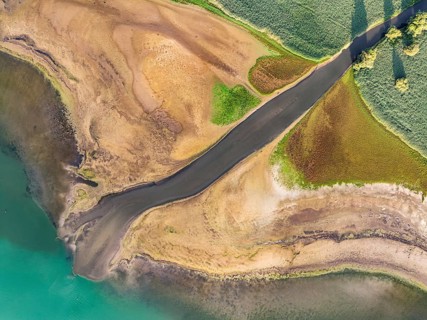
Aerial view, top-down view of the Radolfzell Aachen estuary at historic lows, low tide at water
BRK26H88_090

Aerial view, top-down view of the Radolfzell Aache...
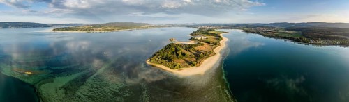
Aerial view, panorama of the Mettnau peninsula near Radolfzell on Lake Constance at historic lows,
BRK26H70_272

Aerial view, panorama of the Mettnau peninsula nea...
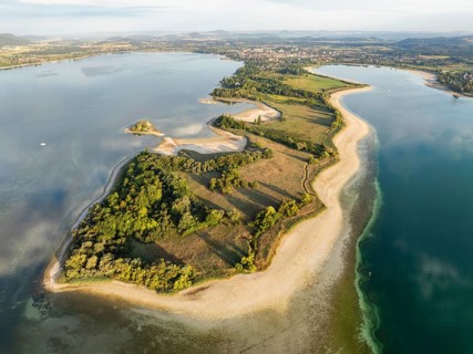
Aerial view of the Mettnau peninsula near Radolfzell on Lake Constance at historic lows, low tide
BRK26H54_489

Aerial view of the Mettnau peninsula near Radolfze...
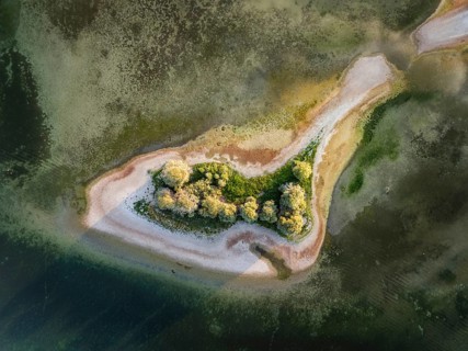
Aerial view, top-down view of Love Island, near the Mettnau peninsula at historic lows, low tide at
BRK26H55_156

Aerial view, top-down view of Love Island, near th...
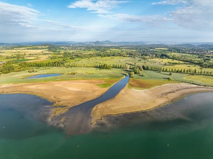
Aerial view of the Radolfzell Aachen estuary at historic lows, low tide at water level 286 cm with
BRK26H64_404

Aerial view of the Radolfzell Aachen estuary at hi...
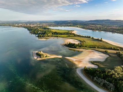
Aerial view of the Mettnau peninsula near Radolfzell on Lake Constance at historic lows, low tide
BRK26H56_368

Aerial view of the Mettnau peninsula near Radolfze...

Indian Bullfrog (Hoplobatrachus tigerinus) submerged in a pond, sreepur, Gazipur, bangladesh
BRK26H95_393

Indian Bullfrog (Hoplobatrachus tigerinus) submerg...
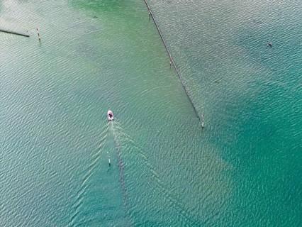
Motorboat entering the port of moss. Waves form on the surface of the water. The water level in
BRK26H56_438

Motorboat entering the port of moss. Waves form on...
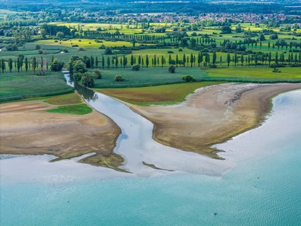
The Radolfzeller Aach flows into Lake Constance. The river carries little water. The water level in
BRK26H58_424

The Radolfzeller Aach flows into Lake Constance. T...
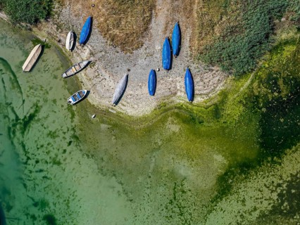
Lake Constance shore on the island of Reichenau with boats and swimmers. The bottom of the lake can
BRK26H75_169

Lake Constance shore on the island of Reichenau wi...
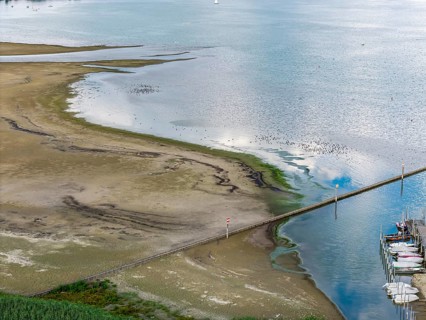
Lake Constance at the port of moss on Lake Constance with little water. The water level is at a low
BRK26H72_419

Lake Constance at the port of moss on Lake Constan...
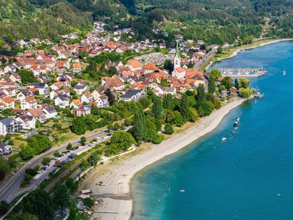
City view of Sipplingen on Lake Constance with church and marina. aerial view. Sipplingen,
BRK26H76_156

City view of Sipplingen on Lake Constance with chu...
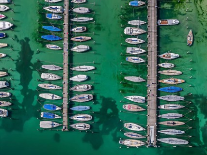
Marina of the Yacht Club Insel Reichenau. The lake bed can be seen in many shallow water zones. The
BRK26H62_074

Marina of the Yacht Club Insel Reichenau. The lake...
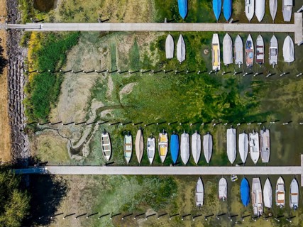
Drought on Lake Constance. The marina of Mannenbach-Salenstein in the canton of Thurgau is almost
BRK26H71_089

Drought on Lake Constance. The marina of Mannenbac...
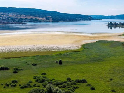
The 1, 300 meter long poplar alley on Reichenauer Damm connects the mainland near Constance with
BRK26H70_425

The 1, 300 meter long poplar alley on Reichenauer ...
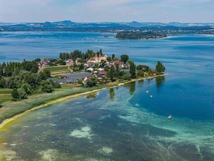
Reichenau island in Lake Constance with St. Peter and Paul church. The water level of Lake
BRK26H82_101

Reichenau island in Lake Constance with St. Peter ...
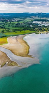
The Radolfzeller Aach flows into Lake Constance. The river carries little water. The water level in
BRK26H58_305

The Radolfzeller Aach flows into Lake Constance. T...

European edible dormouse (Glis glis) sitting on the ground, eating, Bavaria, Germany
BRK26H73_408

European edible dormouse (Glis glis) sitting on th...
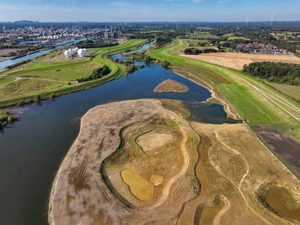
Haltern-Marl, North Rhine-Westphalia, Germany - Lippe, flood protection in the
BRK26H22_108

Haltern-Marl, North Rhine-Westphalia, Germany - Li...
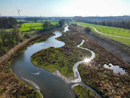
Castrop-Rauxel, Ruhr region, North Rhine-Westphalia, Germany - Restored Emscher, EMSCHERLAND
BRK26H44_482

Castrop-Rauxel, Ruhr region, North Rhine-Westphali...
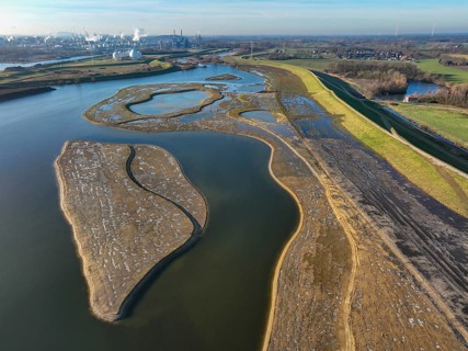
Haltern-Marl, North Rhine-Westphalia, Germany - Lippe, flood protection in the
BRK26H41_163

Haltern-Marl, North Rhine-Westphalia, Germany - Li...
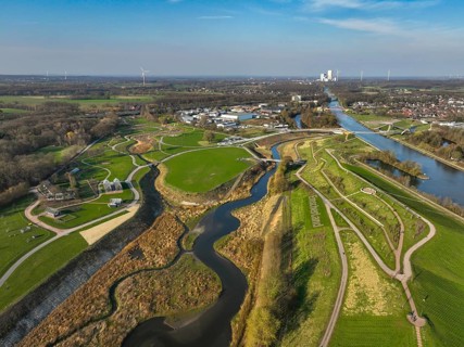
Castrop-Rauxel, North Rhine-Westphalia, Germany - EMSCHERLAND adventure park, new nature and water
BRK26H26_063

Castrop-Rauxel, North Rhine-Westphalia, Germany - ...
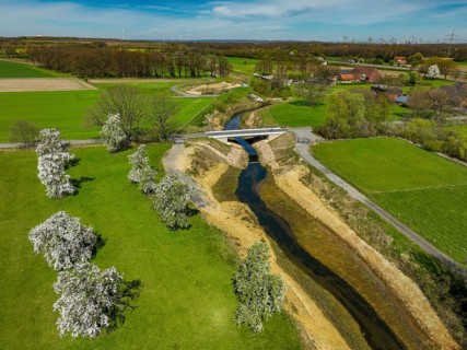
Dorsten, North Rhine-Westphalia, Germany - Renaturalised Rapphofs (also Rapphoffs) Mühlenbach,
BRK26H10_481

Dorsten, North Rhine-Westphalia, Germany - Renatur...
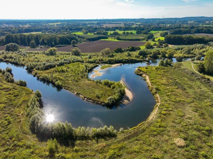
Datteln, North Rhine-Westphalia, Germany - Lippe, river and floodplain development of the Lippe
BRK26H20_323

Datteln, North Rhine-Westphalia, Germany - Lippe, ...
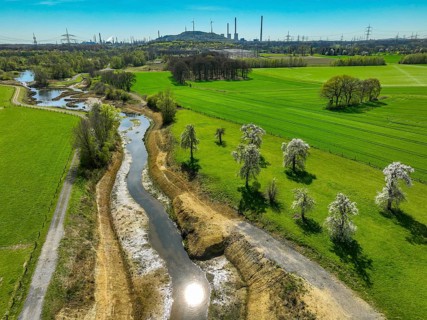
Dorsten, North Rhine-Westphalia, Germany - Renaturalised Rapphofs (also Rapphoffs) Mühlenbach,
BRK26H05_152

Dorsten, North Rhine-Westphalia, Germany - Renatur...
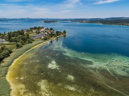
Reichenau island in Lake Constance with St. Peter and Paul church. The water level of Lake
BRK26H11_229

Reichenau island in Lake Constance with St. Peter ...
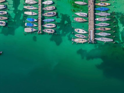
Marina of the Yacht Club Insel Reichenau. The lake bed can be seen in many shallow water zones. The
BRK26H33_170

Marina of the Yacht Club Insel Reichenau. The lake...
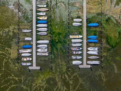
Drought on Lake Constance. The marina of Mannenbach-Salenstein in the canton of Thurgau is almost
BRK26H03_260

Drought on Lake Constance. The marina of Mannenbac...
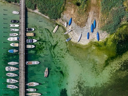
Lake Constance shore on the island of Reichenau with boats and swimmers. The bottom of the lake can
BRK26H09_028

Lake Constance shore on the island of Reichenau wi...
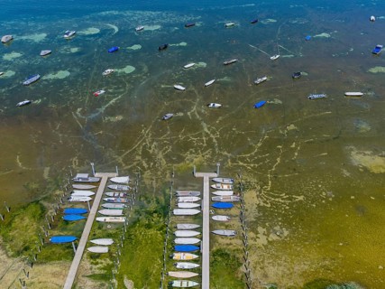
Drought on Lake Constance. The marina of Mannenbach-Salenstein in the canton of Thurgau is almost
BRK26H29_401

Drought on Lake Constance. The marina of Mannenbac...
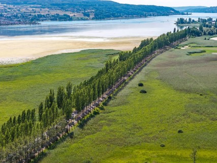
The 1, 300 meter long poplar alley on Reichenauer Damm connects the mainland near Constance with
BRK26H22_137

The 1, 300 meter long poplar alley on Reichenauer ...
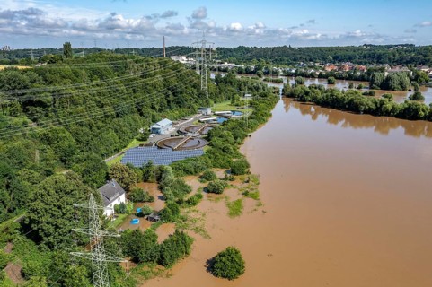
Flood on the Ruhr, after long periods of heavy rainfall, the river left its bed and flooded the
BRK26G77_076

Flood on the Ruhr, after long periods of heavy rai...
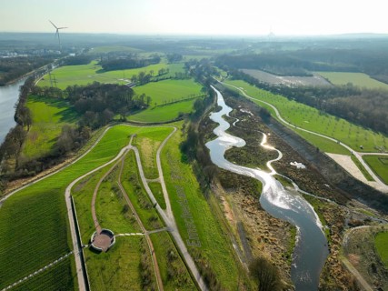
Castrop-Rauxel, Ruhr region, North Rhine-Westphalia, Germany - Restored Emscher, EMSCHERLAND
BRK26G57_137

Castrop-Rauxel, Ruhr region, North Rhine-Westphali...
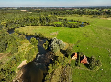
Datteln, North Rhine-Westphalia, Germany - Lippe, river and floodplain development of the Lippe
BRK26G55_346

Datteln, North Rhine-Westphalia, Germany - Lippe, ...
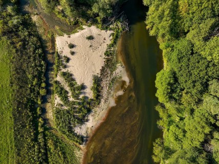
Datteln, North Rhine-Westphalia, Germany - Lippe, river and floodplain development of the Lippe
BRK26G93_235

Datteln, North Rhine-Westphalia, Germany - Lippe, ...
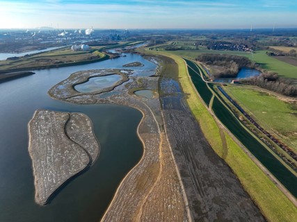
Haltern-Marl, North Rhine-Westphalia, Germany - Lippe, flood protection in the
BRK26G54_476

Haltern-Marl, North Rhine-Westphalia, Germany - Li...
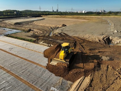
Haltern-Marl, North Rhine-Westphalia, Germany - Lippe, flood protection in the
BRK26G55_357

Haltern-Marl, North Rhine-Westphalia, Germany - Li...

Saline ponds at the Bonanza salt works near Sanlúcar de Barrameda. The reddish colour depends on
BRK26G73_052

Saline ponds at the Bonanza salt works near Sanlúc...
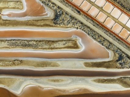
Saline ponds at the salt works near Chiclana de la Frontera. The orange-red colour depends on the
BRK26G77_230

Saline ponds at the salt works near Chiclana de la...
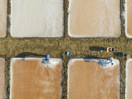
Harvesting salt at the saline ponds near Chiclana de la Frontera. The orange-red colour depends on
BRK26H00_012

Harvesting salt at the saline ponds near Chiclana ...
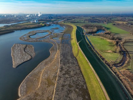
Haltern-Marl, North Rhine-Westphalia, Germany - Lippe, flood protection in the
BRK26G03_295

Haltern-Marl, North Rhine-Westphalia, Germany - Li...
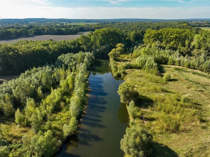
Datteln, North Rhine-Westphalia, Germany - Lippe, river and floodplain development of the Lippe
BRK26G05_058

Datteln, North Rhine-Westphalia, Germany - Lippe, ...
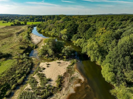
Datteln, North Rhine-Westphalia, Germany - Lippe, river and floodplain development of the Lippe
BRK26G09_417

Datteln, North Rhine-Westphalia, Germany - Lippe, ...

  • Page
  • sur
  • 9