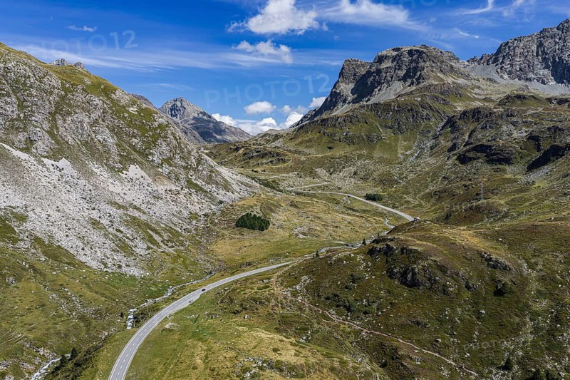
The Julier Pass is an alpine pass in the canton of Graubünden in Switzerland. With a peak height of 2284 meters above sea level, it connects the Oberhalbstein and Engadin valleys. Valley towns include Silvaplana and Tiefencastel. panoramic photo. Tiefencastel, Canton of Graubünden, Switzerland
Légende

The Julier Pass is an alpine pass in the canton of Graubünden in Switzerland. With a peak height of 2284 meters above sea level, it connects the Oberhalbstein and Engadin valleys. Valley towns include Silvaplana and Tiefencastel. panoramic photo. Tiefencastel, Canton of Graubünden, Switzerland

Date

28 août 2026

Crédit

Photo12/ImageBROKER/Arnulf Hettrich

Notre référence

BRK26J04_272

Model release

NA

Property release

Non

Licence

Droits gérés

Format disponible

176.9Mo (59.0Mo) / 81.6cm x 54.4cm / 9632 x 6421 (300dpi)

Mots clés

panorama View from above meter drive curve serpentine road traffic transport traffic traffic route Alps valley Mountain Range nature Switzerland holiday panorama view Europe tourism mountain range tourist attraction alpine Aerial observation point mountainous road sightseeing height winding landscape view infrastructure connection european holiday time Engadin Canton Graubünden bend transit connect mountain mountain pass sea pass pass summit elevation mountain road looking down travel photography hairpin bend Mountain pass of the Alps Silvaplana Swiss Oberhalbstein mountain panorama Julier Pass Central Europe holidays Panorama photo mountainscape Pass road Mountain view Sea level Tiefencastel Scheitelhöhe panoramic view high-angle view metre switchback road transport transportation open air vacation range place of interest high alpine aerial photography viewing point street altitude curvy scenery ride overlook connector vacation time Engadine Canton of Graubünden curvature top of the pass view down hairpin curve Surses panorama of mountains Middle Europe panoramic photo alpine landscape Mountain pass road panoramic image top down view street traffic mountain chain Famous Place high-alpine aerial photo viewpoint countryside facing Graubünden bending pass summit hairpin turn mountains panorama mountain scenery panorama shot ridge vantage point landscape photo view into Grisons mountainous region panoramic point of view view over Canton Grisons mountainous landscape scenic view look out mountain landscape Overlook mountain backdrop overview mountainous area Bergland panoramas elevated view meters driving curves serpentines transports traffic routes valleys mountain ranges tourist attractions Aerials aerial view aerial shot observation points roads sightseeing tours heights landscapes drives view of View of infrastructures connections bends transits connecting mountains mountain passes passes pass summit elevations mountain roads hairpin bends Mountain passes of the Alps Pass roads high-angle shot metres switchbacks vacations ranges places of interest airshot viewing points streets curved sceneries rides outlook connectors Mountain pass roads panoramic images Famous Places viewpoints panoramic shot bird's eye view vantage points mountain landscapes Overlooking overviews mountainous areas from above overhead travels turn turns Serpentine curve Mountains Europe's sight landmark tourist landmark aerial photos arial view Straße connexion connexions connects Mount Mt. Mont Mt road pass Mountains view top view top views Top angle Aerial landscape aerial photograph top down tourist spot flight photo flight photos flight shot flight shots from the sky from the air birds eyes view Bird eye view bird view bird perspective landscape photograph landscape shot

Connectez-vous pour télécharger cette image en HD