Period

8 results for: topographic

  • Page
  • of
  • 1
Please sign in for more results
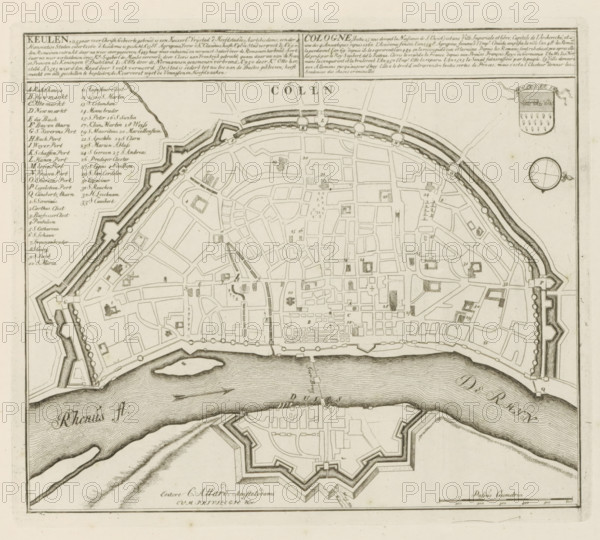
Cologne, (built 25 years before the Nativity of Christ) is an imperial free city, Map of Cologne,
LZT26B29_161

Cologne, (built 25 years before the Nativity of Ch...
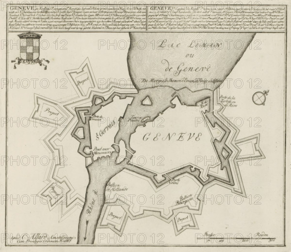
Map of Geneva, Geneva, the capital of the aforementioned Republics, Les Principales Forteresses &
LZT26B29_144

Map of Geneva, Geneva, the capital of the aforemen...
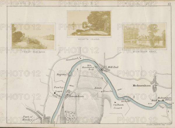
Henley from below, View of the Thames at Henley-on-Thames, photograph, page, photographer: Henry W.
LZT26B07_169

Henley from below, View of the Thames at Henley-on...
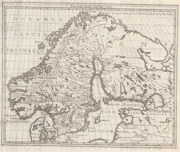
Veteris Orbis Arctoi Typus, Map of the Scandinavian Countries in Ancient Times, Suecia Antiqua et
LZT26A75_138

Veteris Orbis Arctoi Typus, Map of the Scandinavia...
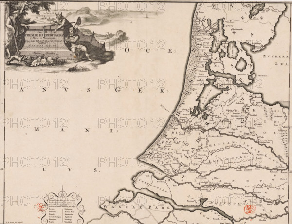
Pars II Fresiae haereditariae, Historical map of the Netherlands with the territories of the
LZT26B34_049

Pars II Fresiae haereditariae, Historical map of t...
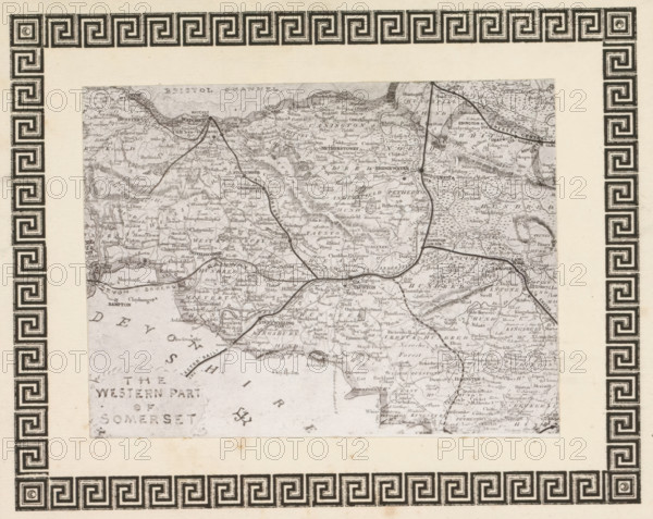
Photo reproduction of a print, depicting a map of West Somerset, reproduction, page,
LZT26B00_027

Photo reproduction of a print, depicting a map of ...
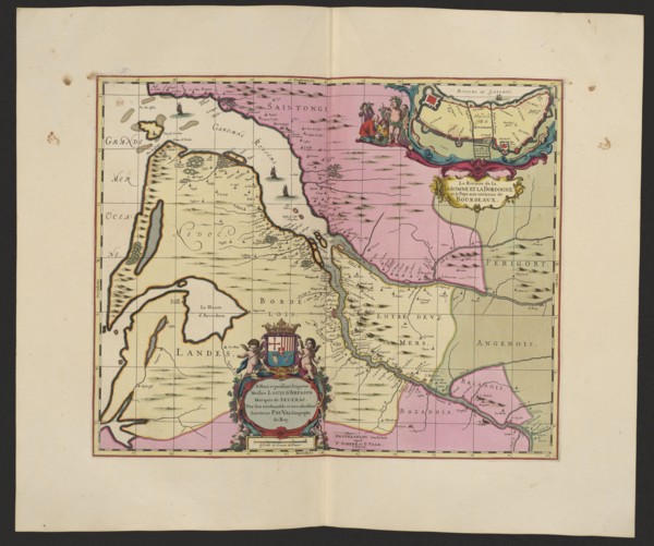
La Riviere de la Garomne et la Dordogne et la pays aux environs de Bourdeavx; map of Bordeaux
LZT26A06_304

La Riviere de la Garomne et la Dordogne et la pays...
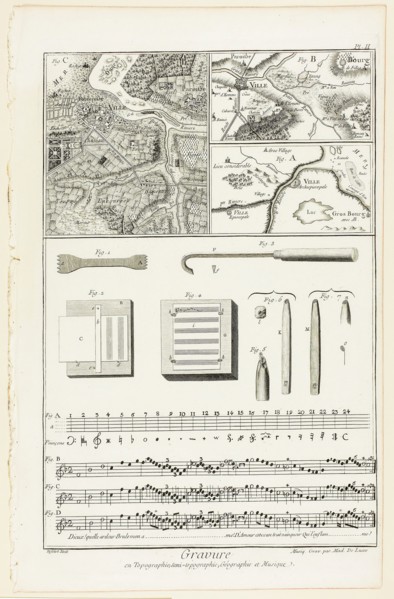
Topographic, Geographic and Music Engraving, from Encyclopédie, 1762/77, A. J. Defehrt (French,
LZT20A26_107

Topographic, Geographic and Music Engraving, from ...