Period

7 results for: detailed sepia-toned map showing

  • Page
  • of
  • 1
Please sign in for more results
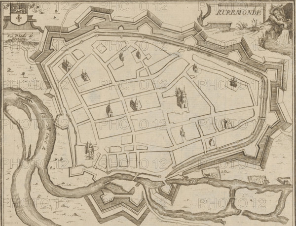
Map of Roermond, Ruremonde, area plan, print, printmaker: Jacobus Harrewijn (possibly), 1700 -
LZT26B32_385

Map of Roermond, Ruremonde, area plan, print, prin...
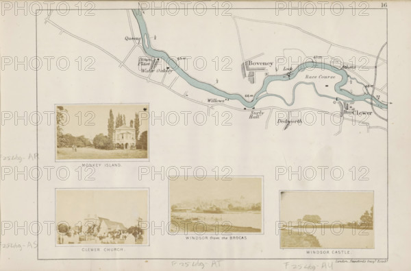
View of a church in Clewer, Clewer church, photograph, page, photographer: Henry W. Taunt, Clewer,
LZT26B07_183

View of a church in Clewer, Clewer church, photogr...
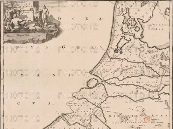
Descriptio Frisiae haereditariae inter Scaldim et Kinnemum sub Carolinis, Historical map of the
LZT26B34_047

Descriptio Frisiae haereditariae inter Scaldim et ...
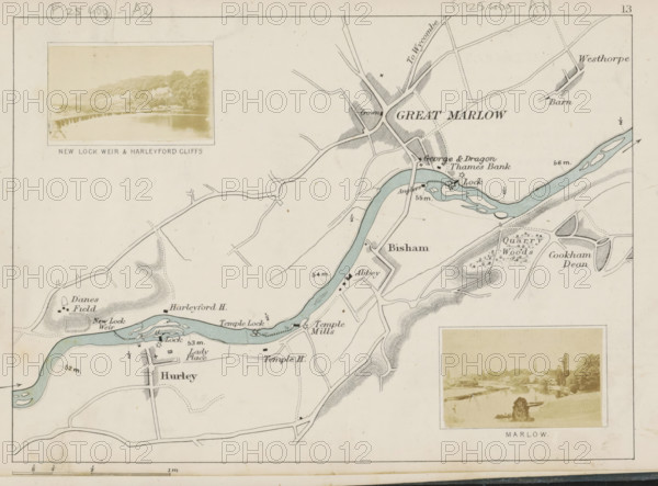
View of a weir in the Thames near Hurley, New Lock weir and Harleyford cliffs, photograph, page,
LZT26B07_171

View of a weir in the Thames near Hurley, New Lock...
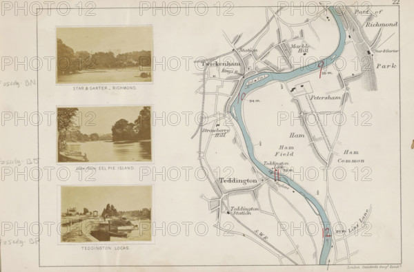
Teddington locks, View of a lock in the Thames at Teddington, photograph, page, photographer: Henry
LZT26B07_207

Teddington locks, View of a lock in the Thames at ...
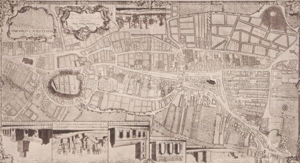
Reproduction of a map of Pontefract, reproduction, page, photomechanical print, cliché maker:
LZT26B09_078

Reproduction of a map of Pontefract, reproduction,...
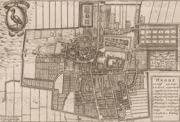
Haghe, Map of The Hague, area plan, print, 1650 - 1700, printmaker, paper, etching, height 151 mm x
LZT26B32_288

Haghe, Map of The Hague, area plan, print, 1650 - ...