38 results for: mediterranean
- Page
-
- of
- 1
Please sign in for more results
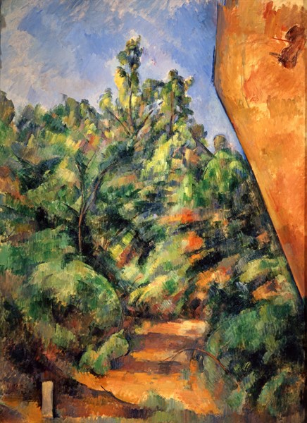
DGL24A00_112
Cézanne, Le rocher rouge
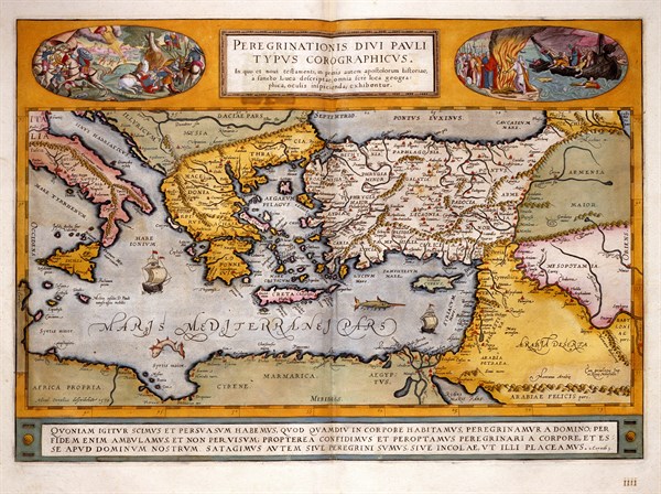
DGL20A01_132
Theatrum Orbis Terrarum
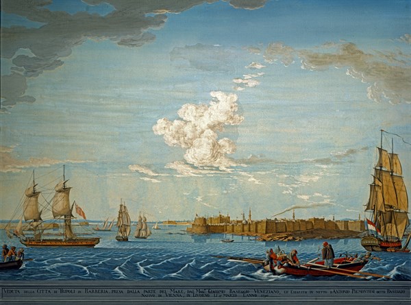
DGL20A00_476
Baseggio, Vue sur la baie et les forteresses de Tr...
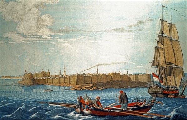
DGL20A00_490
Baseggio, Vue sur la baie et les forteresses de Tr...
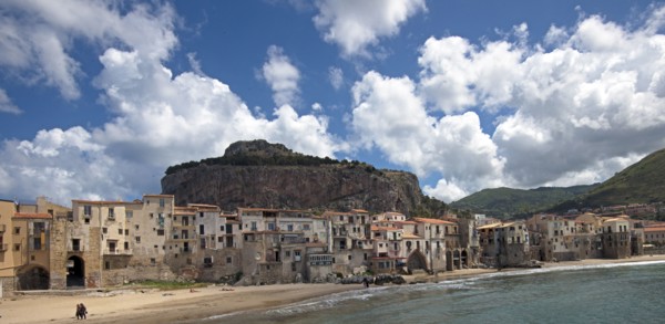
DGL18A00_414
Vue de la marina vecchia de Cefalù
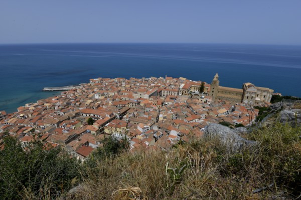
DGL18A00_413
Vue de la ville de Cefalù depuis La Rocca
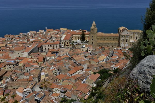
DGL18A00_412
Vue de la ville de Cefalù depuis La Rocca
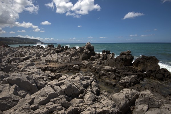
DGL18A00_415
Vue des rochers devant Cefalù (Sicile)
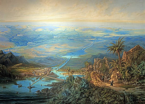
DGL18A00_138
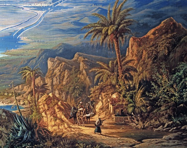
Alberto Rieger, Le canal de Suez
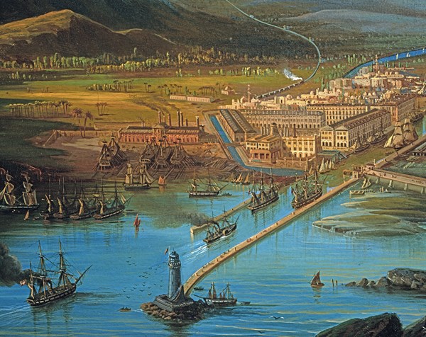
DGL18A00_140
Alberto Rieger, Le canal de Suez (détail)
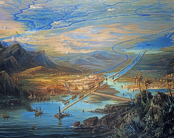
DGL18A00_139
Alberto Rieger, Le canal de Suez (détail)
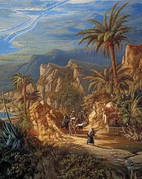
DGL18A00_142
Alberto Rieger, Le canal de Suez (détail)
DGL18A00_141
Alberto Rieger, Le canal de Suez (détail)
DGL18A00_040
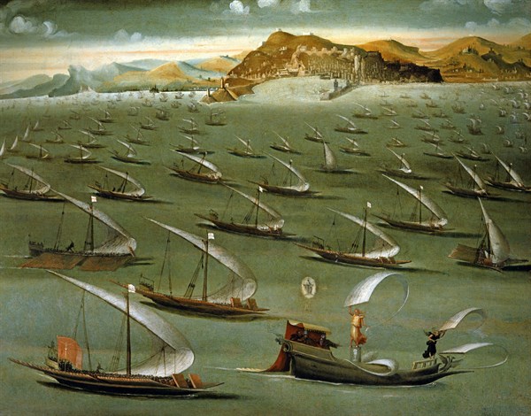
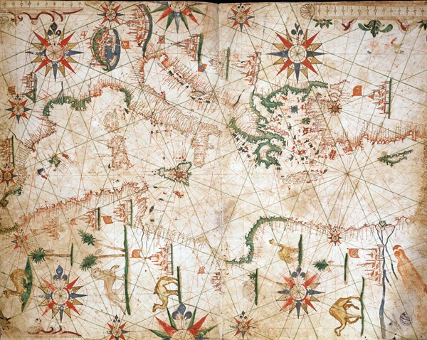
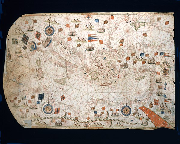
Naval fleet. Allegory of the Holy League in 1571
DGL18A00_034
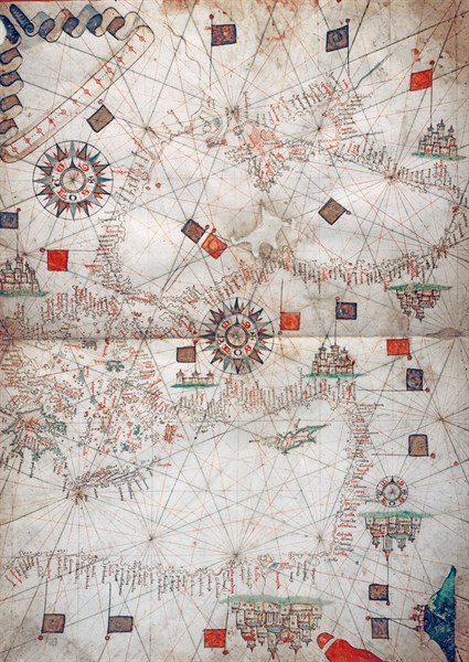
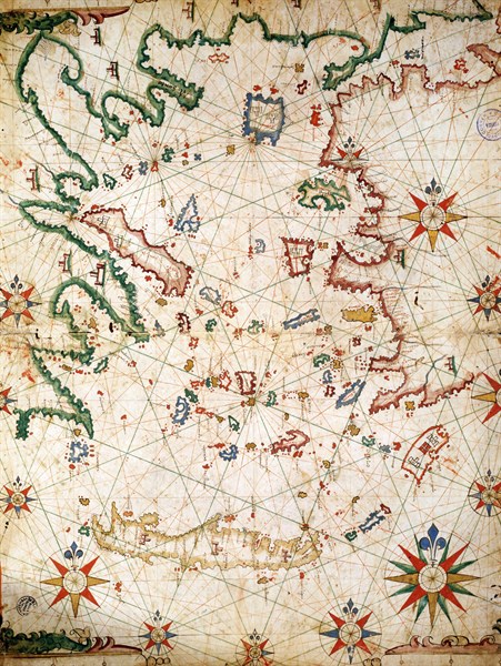
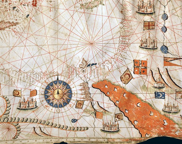
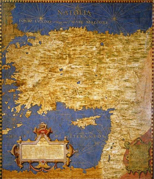
Nautical map of the Aegean Sea and the coasts of N...
DGL18A00_033
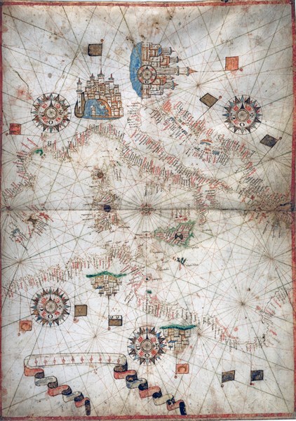
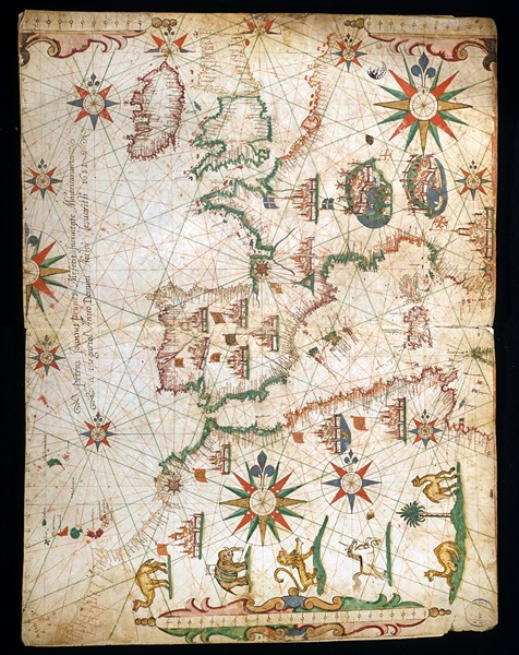
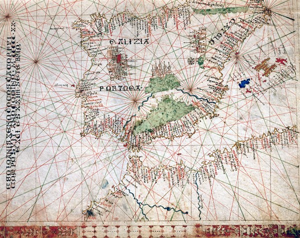
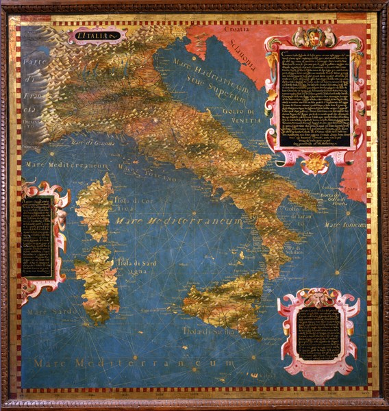
Nautical map of Italy and North Africa in 1571
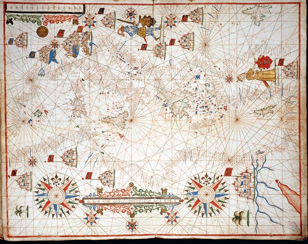
DGL15A00_149
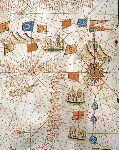
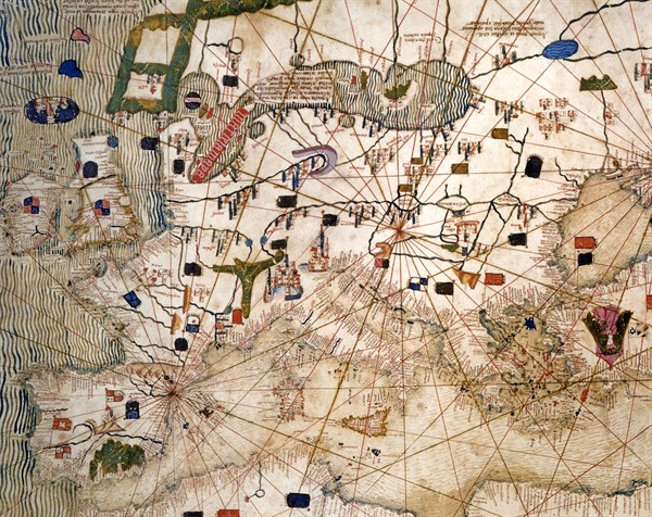
Marine chart of the Mediterranean Basin, the Black...
DGL15A00_150
Marine chart of the Mediterranean Basin, the Black...
DGL15A00_129
Nautical Atlas
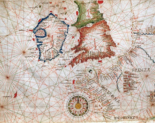
DGL15A00_140
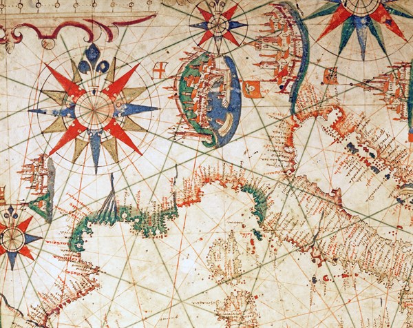
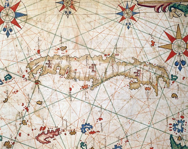
Nautical Atlas of the Mediterranean Sea
DGL15A00_130
Nautical Atlas
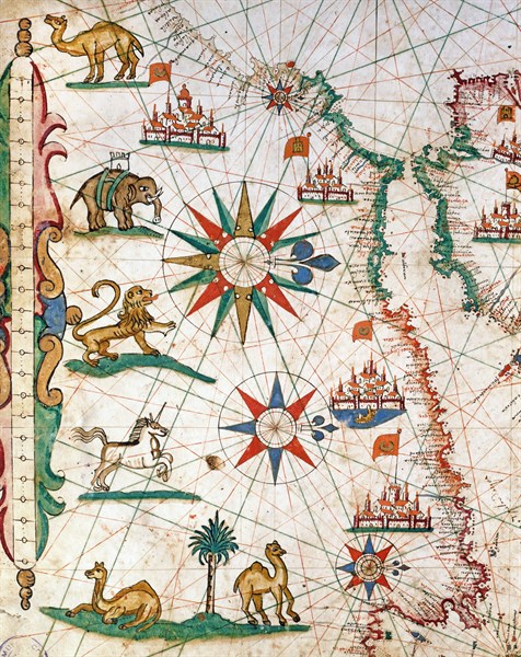
DGL15A00_139
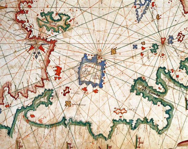
Nautical Atlas of the Mediterranean Sea
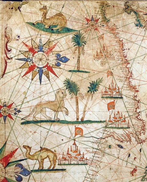
DGL15A00_143
Nautical Atlas of the Mediterranean Sea
DGL15A00_154
Nautical Atlas of 1646
DGL15A00_144
Nautical Atlas of the Mediterranean Sea
DGL15A00_138
Nautical Atlas of the Mediterranean Sea
DGL15A00_141
Nautical Atlas of the Mediterranean Sea
DGL15A00_152
Marine chart of the Mediterranean Basin, the Black...
DGL15A00_142
Nautical Atlas of the Mediterranean Sea
DGL15A00_151
Marine chart of the Mediterranean Basin, the Black...
DGL15A00_147
Marine chart of the Mediterranean Basin, the Black...
DGL15A00_131
Nautical Atlas
DGL15A00_148
Marine chart of the Mediterranean Basin, the Black...
DGL15A00_145
Nautical Atlas of the Mediterranean Sea
DGL15A00_146
Nautical Atlas of the Mediterranean Sea
DGL13A00_151
Catalan Planisphere: Europe and the Mediterranean.
DGL13A00_156
Ignazio, Bonsignori, Turkey and the eastern Medite...
DGL10A00_252