Period

1047 results for: right-angled

  • Page
  • of
  • 11
Please sign in for more results
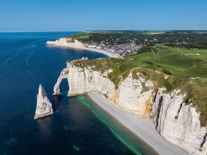
Aerial view of the Porte d'Aval rock gate with the free-standing Aiguille d'Étretat rock pin,
BRK26H53_009

Aerial view of the Porte d'Aval rock gate with the...
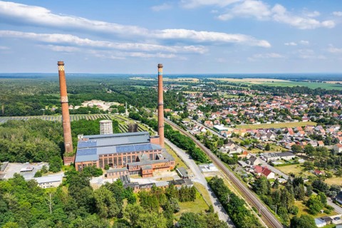
Aerial view, drone photo: Industrial monument decommissioned lignite-fired power plant Plessa with
BRK26H54_079

Aerial view, drone photo: Industrial monument deco...
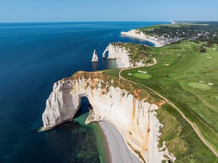
Aerial view of the La Manneporte rock gate in the evening sun, behind it the Porte d'Aval rock
BRK26H67_233

Aerial view of the La Manneporte rock gate in the ...
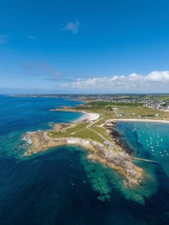
Aerial view of the sandy beaches Plage de Porspaul, right, Plage Porsguen left, Commune
BRK26H88_391

Aerial view of the sandy beaches Plage de Porspaul...
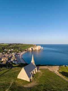
Aerial view of the Notre Dame de la Garde chapel after sunrise at the Falaise d'Amont viewpoint, on
BRK26H74_379

Aerial view of the Notre Dame de la Garde chapel a...
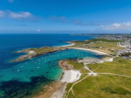
Aerial view of the sandy beaches Plage de Porspaul, center, Plage Porsguen left and Plage de
BRK26H68_482

Aerial view of the sandy beaches Plage de Porspaul...
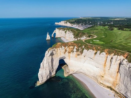
Aerial view of the rock gate La Manneporte rock gate behind the Porte d'Aval rock formation,
BRK26H62_095

Aerial view of the rock gate La Manneporte rock ga...
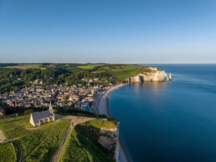
Aerial view of the Notre Dame de la Garde chapel after sunrise at the Falaise d'Amont viewpoint, on
BRK26H75_266

Aerial view of the Notre Dame de la Garde chapel a...
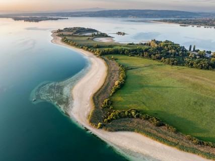
Aerial view of the Mettnau peninsula near Radolfzell on Lake Constance at historic lows, low tide
BRK26H60_268

Aerial view of the Mettnau peninsula near Radolfze...
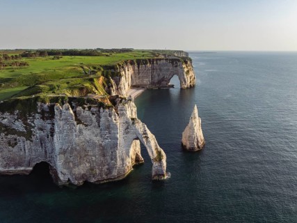
Aerial view of the Porte d'Aval rock formation in the evening sun, well-known sights on the chalk
BRK26H62_124

Aerial view of the Porte d'Aval rock formation in ...
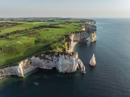
Aerial view of the Porte d'Aval rock formation in the evening sun, well-known sights on the chalk
BRK26H61_159

Aerial view of the Porte d'Aval rock formation in ...
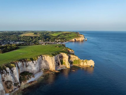
Aerial view of the Porte d'Amont rock formation, Falaise d'Amont shortly after sunrise, a landmark
BRK26H63_054

Aerial view of the Porte d'Amont rock formation, F...
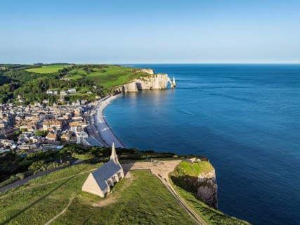
Aerial view of the Notre Dame de la Garde chapel after sunrise at the Falaise d'Amont viewpoint, on
BRK26H64_309

Aerial view of the Notre Dame de la Garde chapel a...
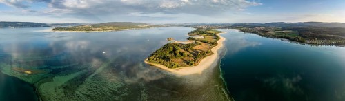
Aerial view, panorama of the Mettnau peninsula near Radolfzell on Lake Constance at historic lows,
BRK26H70_272

Aerial view, panorama of the Mettnau peninsula nea...
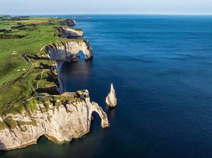
Aerial view of the Porte d'Aval rock formation with the free-standing Aiguille d'Étretat rock pin
BRK26H69_460

Aerial view of the Porte d'Aval rock formation wit...
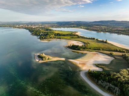
Aerial view of the Mettnau peninsula near Radolfzell on Lake Constance at historic lows, low tide
BRK26H56_368

Aerial view of the Mettnau peninsula near Radolfze...
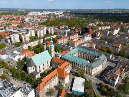
Aerial view of a city with historic buildings, several churches and parks, in a sunny atmosphere,
BRK26H71_349

Aerial view of a city with historic buildings, sev...
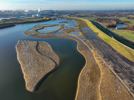
Haltern-Marl, North Rhine-Westphalia, Germany - Lippe, flood protection in the
BRK26H41_163

Haltern-Marl, North Rhine-Westphalia, Germany - Li...
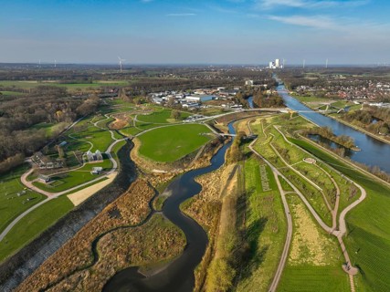
Castrop-Rauxel, North Rhine-Westphalia, Germany - EMSCHERLAND adventure park, new nature and water
BRK26H26_063

Castrop-Rauxel, North Rhine-Westphalia, Germany - ...
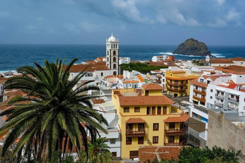
Garachico, Santa Cruz, Tenerife, Canary Islands, Spain - Garachico is a small, tranquil,
BRK26H25_047

Garachico, Santa Cruz, Tenerife, Canary Islands, S...
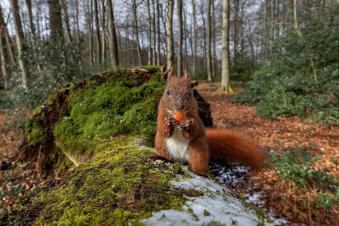
Right in front of the camera, a squirrel (Sciurus vulgaris) is eating a hazelnut (Corylus
BRK26H43_099

Right in front of the camera, a squirrel (Sciurus ...
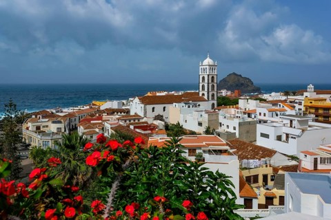
Garachico, Santa Cruz, Tenerife, Canary Islands, Spain - Garachico is a small, tranquil,
BRK26H33_099

Garachico, Santa Cruz, Tenerife, Canary Islands, S...

Dhaka, Bangladesh- 30 June 2025: Smartphone displaying Applovin stock data on a trading app with
BRK26H04_244

Dhaka, Bangladesh- 30 June 2025: Smartphone displa...
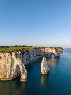
Aerial view of the Porte d'Aval rock formation in the evening sun, well-known sights on the chalk
BRK26H13_496

Aerial view of the Porte d'Aval rock formation in ...
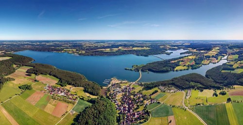
Aerial view, left Großer Brombachsee, right back Kleiner Brombachsee, right front Igelsbachsee,
BRK26H16_067

Aerial view, left Großer Brombachsee, right back K...
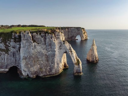
Aerial view of the Porte d'Aval rock formation in the evening sun, well-known sights on the chalk
BRK26H34_011

Aerial view of the Porte d'Aval rock formation in ...
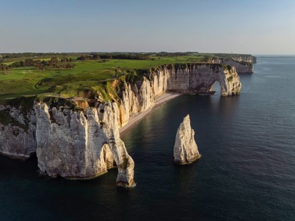
Aerial view of the Porte d'Aval rock formation in the evening sun, well-known sights on the chalk
BRK26H03_011

Aerial view of the Porte d'Aval rock formation in ...
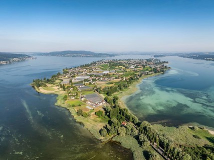
Aerial view of the island of Reichenau in western Lake Constance, Untersee, on the horizon the Höri
BRK26H07_285

Aerial view of the island of Reichenau in western ...
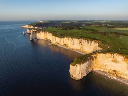
Aerial view of the distinctive Pointe de la Courtine ledge in the evening sun, then the La
BRK26H12_108

Aerial view of the distinctive Pointe de la Courti...
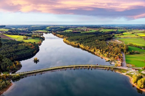
Aerial view, in front of Großer Brombachsee dam, back Igelsbach lake, front right Strandhaus
BRK26H10_260

Aerial view, in front of Großer Brombachsee dam, b...
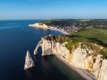
Aerial view of the Porte d'Aval rock formation in the evening sun, well-known sights on the chalk
BRK26H12_377

Aerial view of the Porte d'Aval rock formation in ...
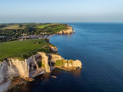
Aerial view of the Porte d'Amont rock formation, Falaise d'Amont shortly after sunrise, a landmark
BRK26H14_360

Aerial view of the Porte d'Amont rock formation, F...
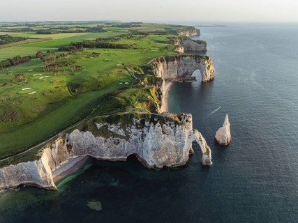
Aerial view of the Porte d'Aval rock formation in the evening sun, well-known sights on the chalk
BRK26H09_058

Aerial view of the Porte d'Aval rock formation in ...
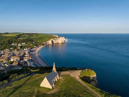
Aerial view of the Notre Dame de la Garde chapel after sunrise at the Falaise d'Amont viewpoint, on
BRK26H11_353

Aerial view of the Notre Dame de la Garde chapel a...
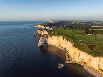
Aerial view of the rock gate La Manneporte in the evening sun, behind it the Porte d'Aval rock
BRK26H16_079

Aerial view of the rock gate La Manneporte in the ...
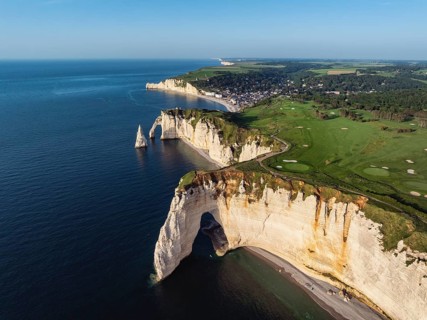
Aerial view of the rock gate La Manneporte rock gate in the evening sun, behind it the Porte d'Aval
BRK26H08_298

Aerial view of the rock gate La Manneporte rock ga...
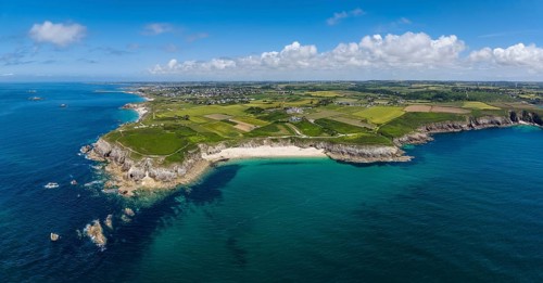
Aerial view, panorama of Pointe Corsen, a cape at the westernmost point of continental France on
BRK26H43_211

Aerial view, panorama of Pointe Corsen, a cape at ...
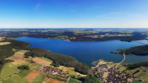
Aerial view, Großer Brombach lake, bottom right end of the lake, left of it Ottmansberg, Franconian
BRK26H15_318

Aerial view, Großer Brombach lake, bottom right en...
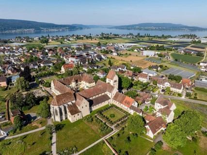
Aerial view of the island of Reichenau, in western Lake Constance, Untersee, with the cathedral of
BRK26H36_281

Aerial view of the island of Reichenau, in western...
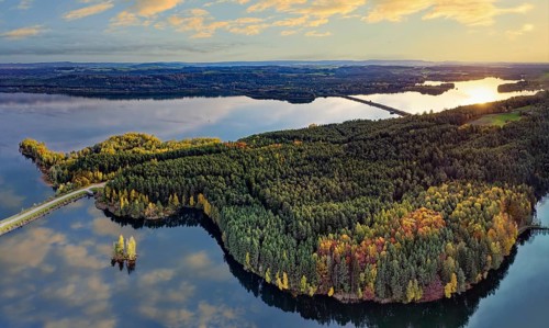
Aerial view, natural paradise Brombachsee, peninsula between Igelsbach Lake and back Großer
BRK26H13_270

Aerial view, natural paradise Brombachsee, peninsu...
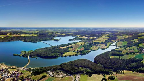
Aerial view, left Großer Brombachsee, right back Kleiner Brombachsee, right front Igelsbachsee,
BRK26H12_313

Aerial view, left Großer Brombachsee, right back K...
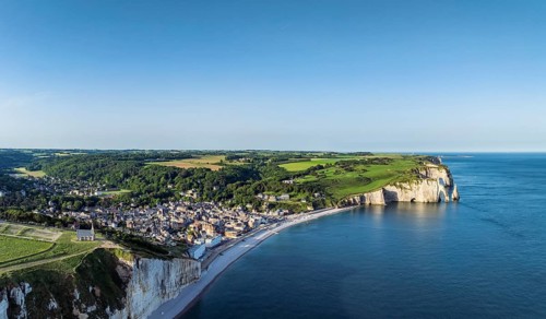
Aerial view, panorama of the Falaise d'Amont cliffs, with the coastal town of Étretat and the
BRK26H45_207

Aerial view, panorama of the Falaise d'Amont cliff...
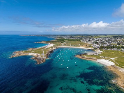
Aerial view of the sandy beaches Plage de Porspaul, center, Plage Porsguen left and Plage de
BRK26H13_249

Aerial view of the sandy beaches Plage de Porspaul...
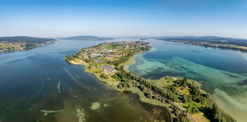
Aerial view, panorama of the island of Reichenau in western Lake Constance, Untersee, on the
BRK26H42_296

Aerial view, panorama of the island of Reichenau i...
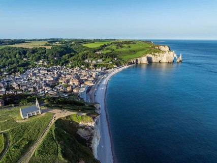
Aerial view of the Notre Dame de la Garde chapel after sunrise at the Falaise d'Amont viewpoint, on
BRK26H12_049

Aerial view of the Notre Dame de la Garde chapel a...
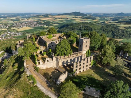
Aerial view of the Hohentwiel volcanic cone with Germany's largest fortress ruin, in the morning
BRK26H26_247

Aerial view of the Hohentwiel volcanic cone with G...
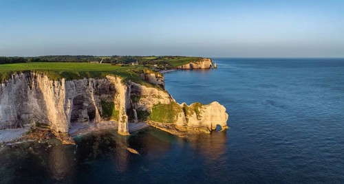
Aerial view, panorama of the Porte d'Amont rock formation, Falaise d'Amont shortly after sunrise, a
BRK26H29_265

Aerial view, panorama of the Porte d'Amont rock fo...
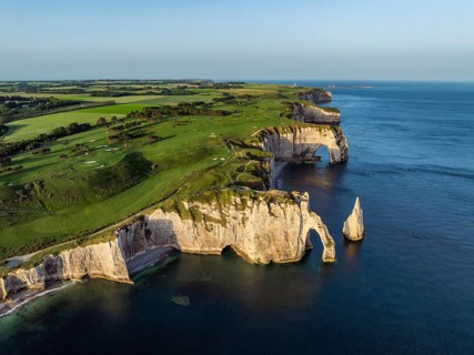
Aerial view of the Porte d'Aval rock formation with the free-standing Aiguille d'Étretat rock pin
BRK26H08_061

Aerial view of the Porte d'Aval rock formation wit...
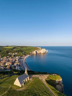
Aerial view of the Notre Dame de la Garde chapel after sunrise at the Falaise d'Amont viewpoint, on
BRK26H13_477

Aerial view of the Notre Dame de la Garde chapel a...
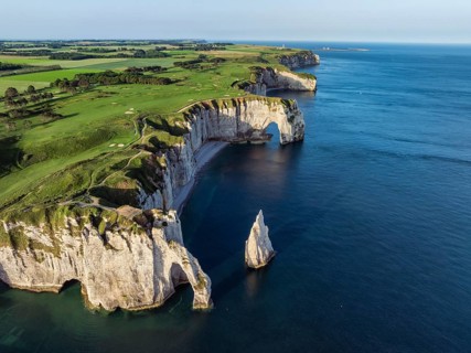
Aerial view of the Porte d'Aval rock formation with the free-standing Aiguille d'Étretat rock pin
BRK26H10_208

Aerial view of the Porte d'Aval rock formation wit...
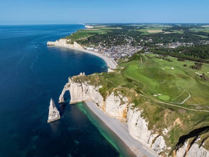
Aerial view of the Porte d'Aval rock gate with the free-standing Aiguille d'Étretat rock pin,
BRK26H38_059

Aerial view of the Porte d'Aval rock gate with the...
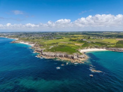
Aerial view of Pointe Corsen, a cape at the westernmost point of continental France on the Breton
BRK26H30_124

Aerial view of Pointe Corsen, a cape at the wester...
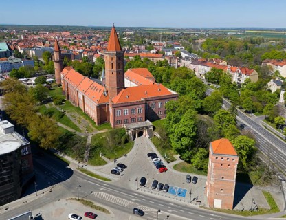
Castle in urban surroundings, with distinctive orange roofs and surrounding roads, aerial view,
BRK26H14_380

Castle in urban surroundings, with distinctive ora...
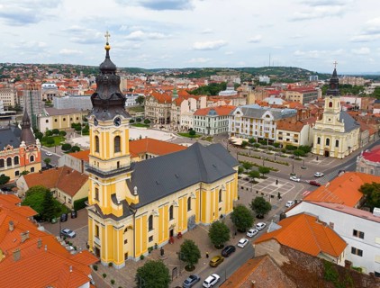
Baroque church rises above the surrounding urban landscape with historic roofs, aerial view, St.
BRK26H50_375

Baroque church rises above the surrounding urban l...
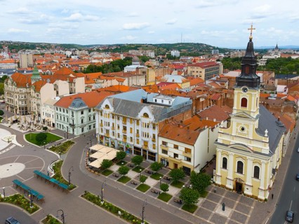
Church tower dominates an old town with red tiled roofs and urban architecture, aerial view, center
BRK26H51_218

Church tower dominates an old town with red tiled ...
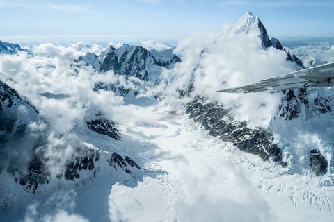
Summit of high mountains with glaciers, Mount Huntington on the right, 3731 m, aerial view, Alaska
BRK26H07_065

Summit of high mountains with glaciers, Mount Hunt...
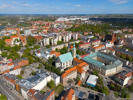
Aerial view of a city with various churches and buildings surrounded by green spaces under a blue
BRK26H15_153

Aerial view of a city with various churches and bu...
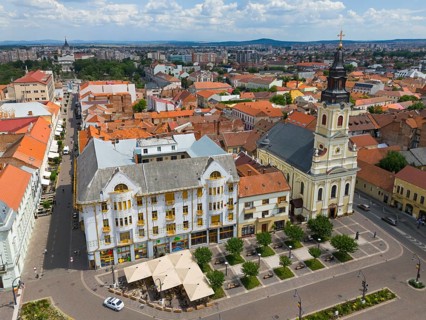
Panorama with historic church, old buildings and red roofs under a sunny sky, aerial view, palace
BRK26H17_304

Panorama with historic church, old buildings and r...
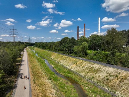
Bottrop, North Rhine-Westphalia, Germany, Renaturalised Boye, the tributary of the Emscher, was
BRK26G89_134

Bottrop, North Rhine-Westphalia, Germany, Renatura...
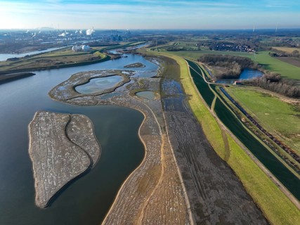
Haltern-Marl, North Rhine-Westphalia, Germany - Lippe, flood protection in the
BRK26G54_476

Haltern-Marl, North Rhine-Westphalia, Germany - Li...
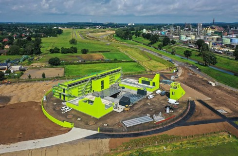
Oberhausen, North Rhine-Westphalia, Germany - Emscher conversion, new Emscher AKE sewer, here the
BRK26G89_137

Oberhausen, North Rhine-Westphalia, Germany - Emsc...
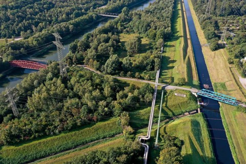
Essen, North Rhine-Westphalia, Germany - The Emscher has been completely free of wastewater since
BRK26G67_106

Essen, North Rhine-Westphalia, Germany - The Emsch...
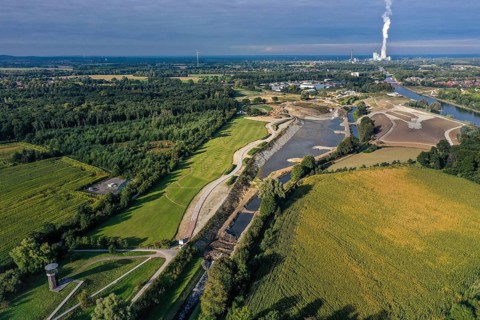
Recklinghausen, Castrop-Rauxel, North Rhine-Westphalia, Germany - EMSCHERLAND construction project,
BRK26H02_092

Recklinghausen, Castrop-Rauxel, North Rhine-Westph...
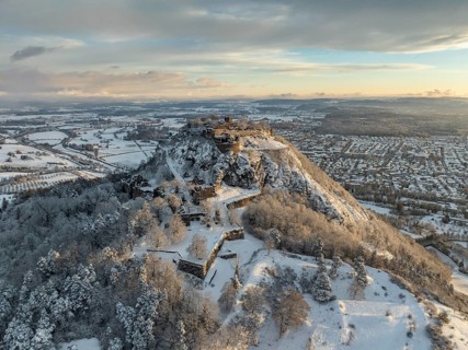
Aerial view of the snow-covered Hegau volcano Hohentwiel with Germany's largest castle ruins on a
BRK26G71_176

Aerial view of the snow-covered Hegau volcano Hohe...
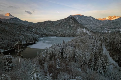
Pike lake, winter, icy, snow-covered trees, reddish-coloured sky, morning mood, Mangfallgebirge
BRK26G89_430

Pike lake, winter, icy, snow-covered trees, reddis...
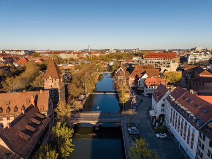
Aerial view of Nuremberg's old town with the Pegnitz river and the hay bridge, on the left the
BRK26G58_081

Aerial view of Nuremberg's old town with the Pegni...
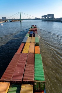
Container cargo ship on the Rhine, heading south, the crane houses in Cologne at the
BRK26G07_472

Container cargo ship on the Rhine, heading south, ...
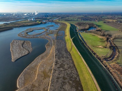
Haltern-Marl, North Rhine-Westphalia, Germany - Lippe, flood protection in the
BRK26G03_295

Haltern-Marl, North Rhine-Westphalia, Germany - Li...
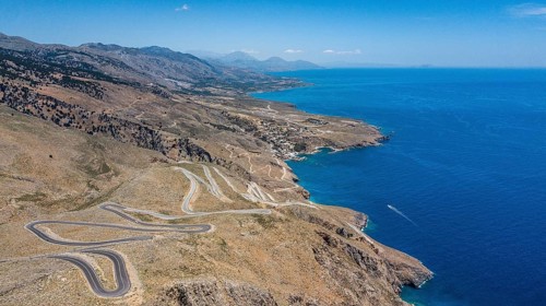
Aerial view of pass road serpentines from to Passo Anopoli above south coast of Crete right Libyan
BRK26G48_090

Aerial view of pass road serpentines from to Passo...
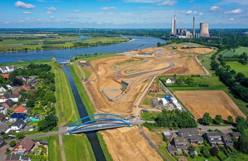
Dinslaken, North Rhine-Westphalia, Germany, Emscher estuary into the Rhine. On the right, the
BRK26G50_132

Dinslaken, North Rhine-Westphalia, Germany, Emsche...
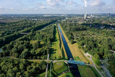
Essen, North Rhine-Westphalia, Germany - The Emscher has been completely free of wastewater since
BRK26G40_399

Essen, North Rhine-Westphalia, Germany - The Emsch...
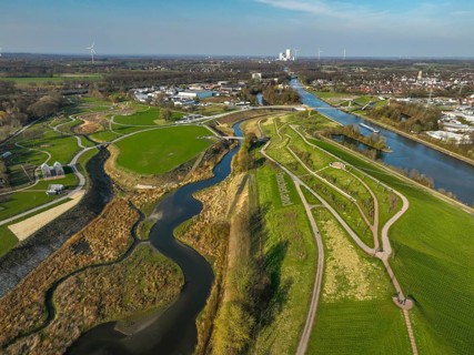
Castrop-Rauxel, North Rhine-Westphalia, Germany - EMSCHERLAND adventure park, new nature and water
BRK26G14_231

Castrop-Rauxel, North Rhine-Westphalia, Germany - ...
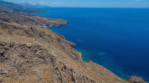
Aerial view of south coast of Crete right Libyan Sea Mediterranean Sea near Sfakia, Chora Sfakion,
BRK26G47_461

Aerial view of south coast of Crete right Libyan S...
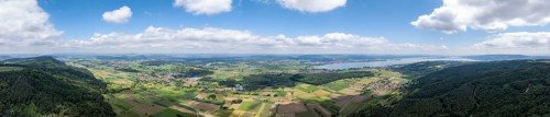
Aerial view, panorama from Schienerberg with the Hegau mountains on the horizon on the left and the
BRK26G32_100

Aerial view, panorama from Schienerberg with the H...
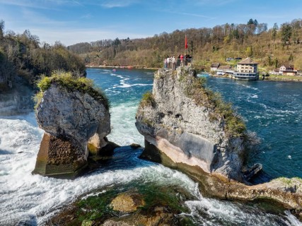
Aerial view of the Rhine Falls at low water in spring, with tourists on the viewing platform, on
BRK26G52_418

Aerial view of the Rhine Falls at low water in spr...
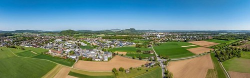
Aerial view, panorama of the municipality of Rielasingen-Worblingen with the industrial estate, on
BRK26G42_191

Aerial view, panorama of the municipality of Riela...
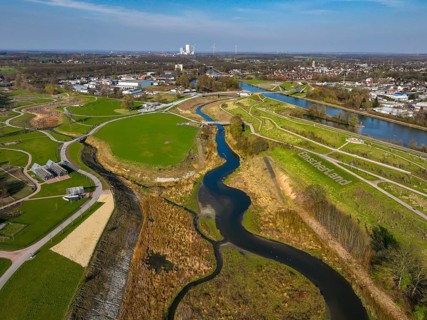
Castrop-Rauxel, North Rhine-Westphalia, Germany - EMSCHERLAND adventure park, new nature and water
BRK26F60_137

Castrop-Rauxel, North Rhine-Westphalia, Germany - ...
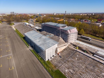
Aerial view of the equipped zeppelin stand at Norisring, former Reichsparteitag site during
BRK26G01_314

Aerial view of the equipped zeppelin stand at Nori...
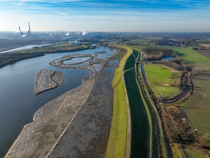
Haltern-Marl, North Rhine-Westphalia, Germany - Lippe, flood protection in the
BRK26F54_425

Haltern-Marl, North Rhine-Westphalia, Germany - Li...
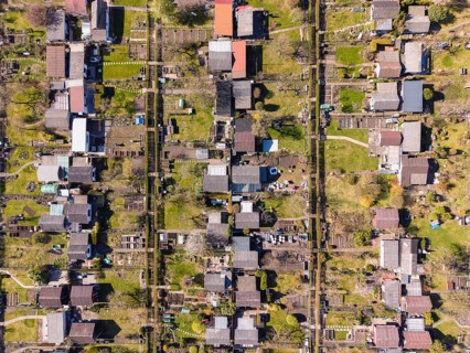
Aerial view, top down view, allotment garden, allotment gardens, allotment association Zeppelinfeld
BRK26F96_406

Aerial view, top down view, allotment garden, allo...

A neatly folded American flag in a partially opened wooden drawer, showcasing its stars and stripes
BRK26F97_274

A neatly folded American flag in a partially opene...
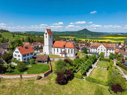
Aerial view of the municipality of Weiterdingen in Hegau with the church of St Mauritius, on the
BRK26D09_309

Aerial view of the municipality of Weiterdingen in...
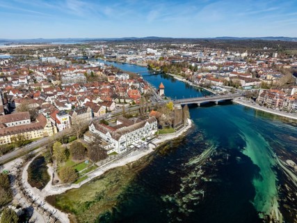
Aerial view of Lake Constance with the Seerhein, also Rhine funnel and the old town of Constance
BRK26D05_324

Aerial view of Lake Constance with the Seerhein, a...
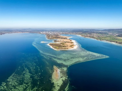
Aerial view of the Mettnau peninsula at low tide with shallows, danger to shipping traffic,
BRK26D05_440

Aerial view of the Mettnau peninsula at low tide w...
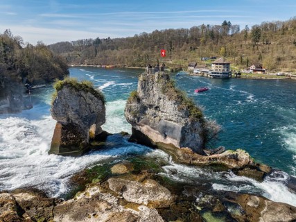
Aerial view of the Rhine Falls at low water in spring, with tourists on the viewing platform, on
BRK26D07_311

Aerial view of the Rhine Falls at low water in spr...
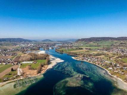
Aerial view of Lake Constance, at low tide, Untersee, also known as Lake Rhine, which flows into
BRK26D09_313

Aerial view of Lake Constance, at low tide, Unters...
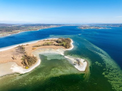
Aerial view of the Mettnau peninsula at low tide, on the right on the horizon the island of
BRK26D08_031

Aerial view of the Mettnau peninsula at low tide, ...
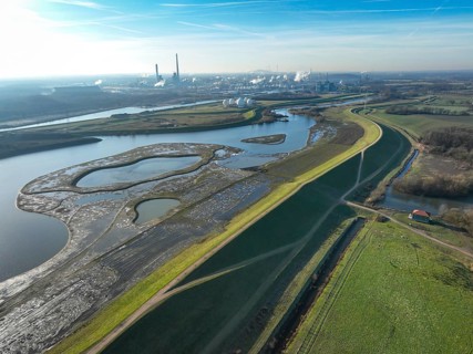
Haltern-Marl, North Rhine-Westphalia, Germany - Lippe, flood protection in the
BRK26D23_363

Haltern-Marl, North Rhine-Westphalia, Germany - Li...
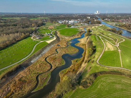
Castrop-Rauxel, North Rhine-Westphalia, Germany - EMSCHERLAND adventure park, new nature and water
BRK26E13_410

Castrop-Rauxel, North Rhine-Westphalia, Germany - ...
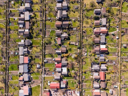
Aerial view, top down view, allotment garden, allotment gardens, allotment association Zeppelinfeld
BRK26E43_232

Aerial view, top down view, allotment garden, allo...
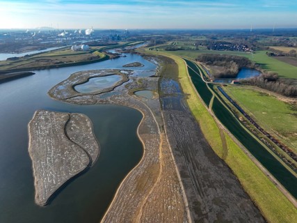
Haltern-Marl, North Rhine-Westphalia, Germany - Lippe, flood protection in the
BRK26E08_184

Haltern-Marl, North Rhine-Westphalia, Germany - Li...
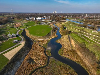
Castrop-Rauxel, North Rhine-Westphalia, Germany - EMSCHERLAND adventure park, new nature and water
BRK26D77_274

Castrop-Rauxel, North Rhine-Westphalia, Germany - ...
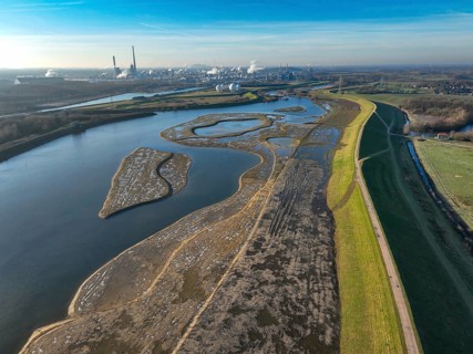
Haltern-Marl, North Rhine-Westphalia, Germany - Lippe, flood protection in the
BRK26D64_053

Haltern-Marl, North Rhine-Westphalia, Germany - Li...
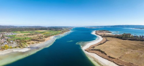
Aerial view, panorama of the Markelfinger Winkel in western Lake Constance, on the right the
BRK26D57_098

Aerial view, panorama of the Markelfinger Winkel i...
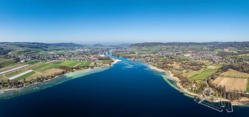
Aerial view, panorama of Lake Constance, Untersee, also known as Lake Rhine, which flows into the
BRK26D57_027

Aerial view, panorama of Lake Constance, Untersee,...

A close-up image showcases hands gently grasping the fabric of an American flag, emphasizing the
BRK26D88_131

A close-up image showcases hands gently grasping t...

A neatly folded American flag rests inside a wooden drawer, displaying its stars and stripes. This
BRK26D84_291

A neatly folded American flag rests inside a woode...
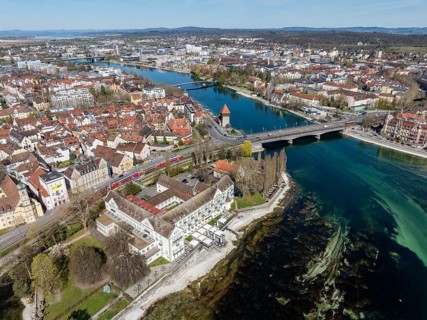
Aerial view of Lake Constance with the Seerhein, also Rhine funnel and the old town of Constance
BRK26D57_165

Aerial view of Lake Constance with the Seerhein, a...
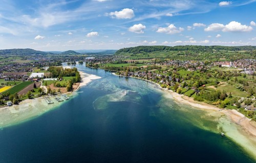
Aerial view of Lake Constance, Untersee, also known as Lake Rhine, which flows into the Rhine at
BRK26C64_211

Aerial view of Lake Constance, Untersee, also know...
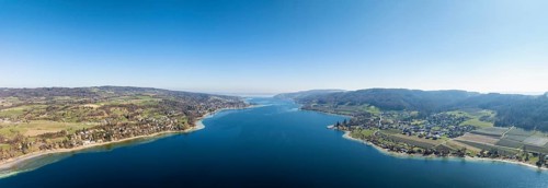
Aerial view, panorama of Lake Constance, Untersee, also known as Lake Rhine, which flows into the
BRK26C63_295

Aerial view, panorama of Lake Constance, Untersee,...

  • Page
  • of
  • 11