73 résultats pour : map library
- Page
-
- sur
- 1
Connectez-vous pour plus de résultats
UMG23A66_397
Carte géographique du 17e siècle
UMG23A66_398
Carte géographique du 16e siècle

UMG23A66_392
Carte géographique du 17e siècle
UMG23A66_396
Carte géographique du 17e siècle
UMG23A66_388
Carte géographique du 17e siècle
UMG23A66_389
Carte géographique du 17e siècle
UMG23A66_390
Carte géographique du 17e siècle
UMG23A66_385
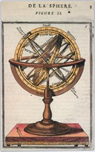
Carte géographique du 18e siècle
UMG23A66_386
Carte géographique du 19e siècle
UMG22A56_124
Géographie

UMG22A54_002
Géographie
UMG22A54_026
Géographie

UMG22A54_027
Géographie

UMG22A55_228
Géographie
UMG22A54_388
Géographie

UMG22A56_125
Géographie
UMG22A56_204
Géographie
UMG22A55_078
Géographie
UMG22A54_393
Géographie

UMG22A54_020
Géographie

UMG22A54_025
Géographie

UMG22A55_075
Géographie
UMG22A56_119
Géographie
UMG22A55_072
Géographie
UMG22A53_445
Géographie

UMG22A56_200
Géographie
UMG22A55_073
Géographie
UMG22A56_118
Géographie
UMG22A54_028
Géographie
UMG22A54_397
Géographie
UMG22A54_391
Géographie
UMG22A54_340
Géographie
UMG22A54_032
Géographie
UMG22A54_003
Géographie
UMG22A54_004
Géographie

UMG22A55_074
Géographie

UMG22A54_035
Géographie

UMG22A55_077
Géographie
UMG22A06_361
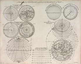
A second plate of geography containing the project...
UMG22A06_497
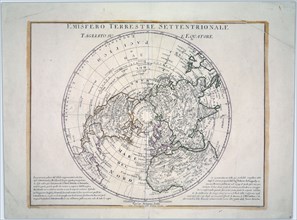
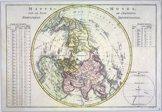
World map on the plane of the equator. Northern He...

UMG22A07_161
Reduced map of the northern parts of the world
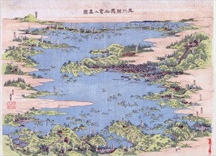
UMG22A07_247
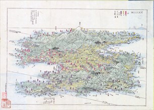
Panoramic view of the mountains and rivers of Sado...

UMG22A06_449
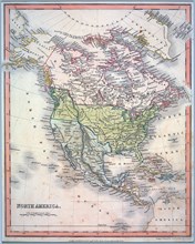
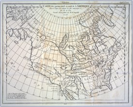
North America divided into its principal nations

UMG22A06_496
A new map of North America agreeable to the latest...
UMG22A07_162
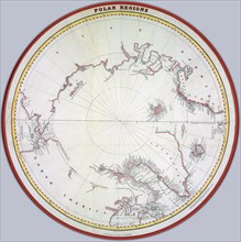
Map of the polar regions ca. 1822 Creator
UMG22A06_362
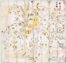
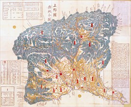
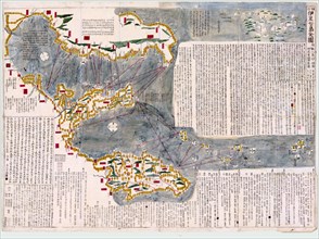
Geographical map of Kozuke Province
UMG22A06_490
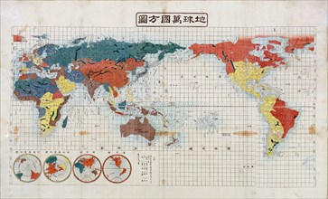
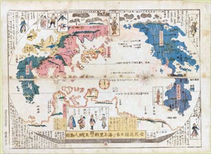
Square map of all the countries on the globe

UMG22A06_485
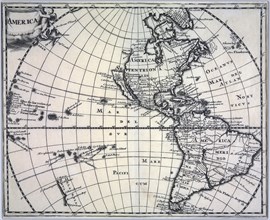
Vintage map of America ca. 1697

UMG22A07_155
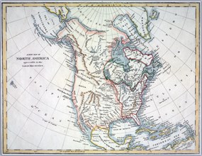
Hand coloured map of North America ca. 1836
UMG22A06_443
Panoramic view of Shiogama and Matsushima, Mutsu P...

UMG22A06_486
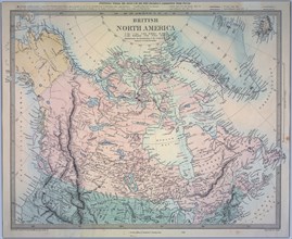
British North America Map

UMG22A07_154
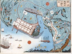
Detailed map of the developed port of Yokohama
UMG22A06_488
Map of all the countries of the world and pictures...
UMG22A06_436
Revised and enlarged map of the Izu Seven Islands
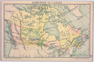
UMG22A06_495
Dominion of Canada Map

UMG20B37_202
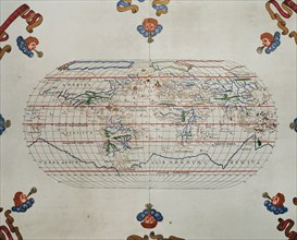
The Catalan Atlas.
UMG20B38_193
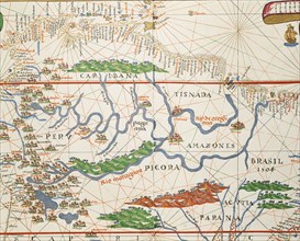
Amazon basin and two mouths.
UMG20B38_192
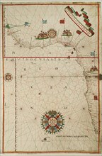
Portolan atlas.
UMG20B38_194
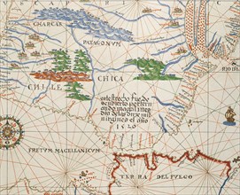
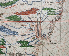
Strait of Magellan, Patagonia and Tierra de Fuego.
UMG20B38_187
Map of the Canary Islands and the west coast of Af...
UMG20B38_189
Western Mediterranean.
UMG20B38_188
West Coast of the African Continent.
UMG20B38_191
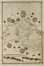
Portolan atlas.
UMG20B38_190
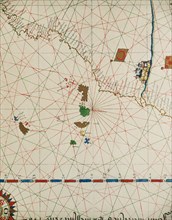
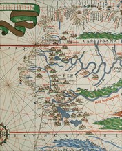
American west coast (Peru, Ecuador and Colombia).

UMG20B40_212
Utopia.
UMG20B40_368
Sallust.
UMG20B38_136
Utopia.
UMG20A47_185
Doors Classical Figures Represent writing 2010
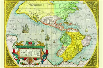
UMG20A04_116
The Americas 1579
UMG20A04_135
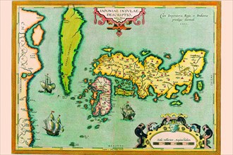
Description of the Japanese Islands 1590
UMG20A04_134
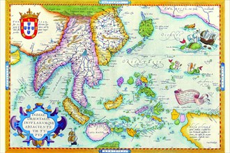
East Indies by Ortelius 1590
UMG20A04_088
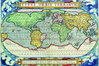
Typus Orbis Terrarum from the Theatre of the World...
UMG20A04_140