82 résultats pour : hemisphere
- Page
-
- sur
- 1
Connectez-vous pour plus de résultats
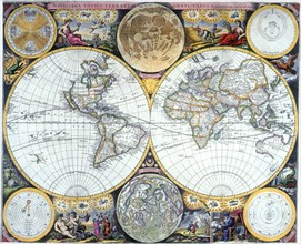
UMG23A62_334
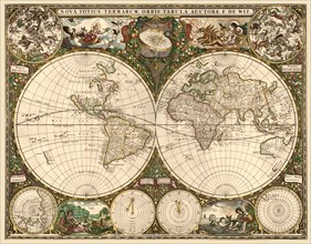
World map dating from the late 17th or early 18th ...
UMG23A59_108
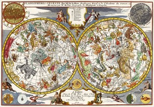
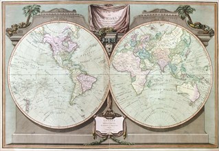
The Magdeburg hemispheres.
UMG23A59_107
The Magdeburg hemispheres.
UMG23A61_164
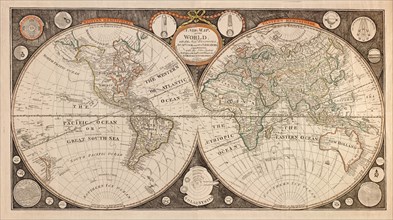
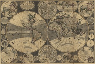
World Map.
UMG23A40_110
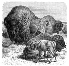
Bison
UMG22A72_134
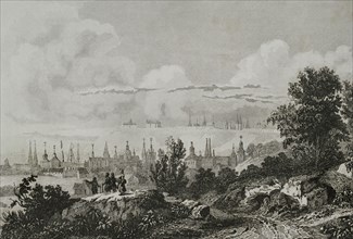
Russia, Tobolsk
UMG22A66_357
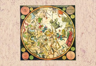
Celestial Chart
UMG22A67_404
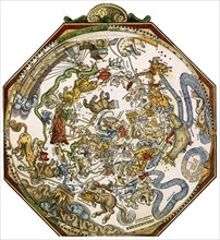
Apian's Star Chart.

UMG22A67_212
Spirit of St. Louis.

UMG22A54_027
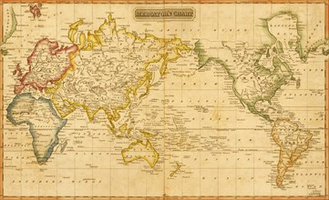
Géographie
UMG22A54_003
Géographie
UMG22A47_273
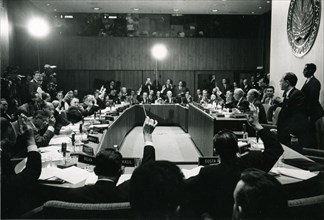
President John F. Kennedy, 1962
UMG22A40_215
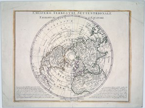
1991 - The northern hemisphere is displayed in thi...
UMG22A06_497
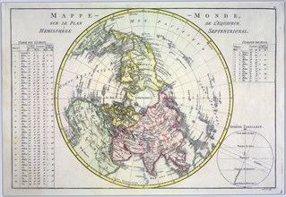
World map on the plane of the equator. Northern He...
UMG21A17_372
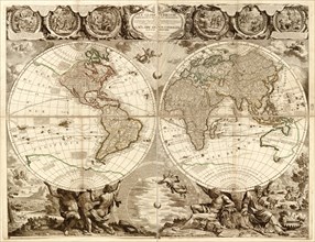
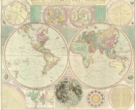
Double-Hemisphere Map of the World 1630
UMG21A17_373
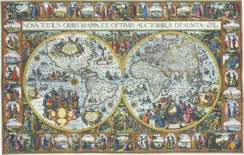
Double Hemisphere Map with Border 1611
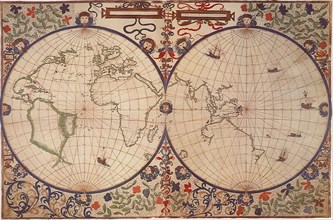
UMG21A17_374
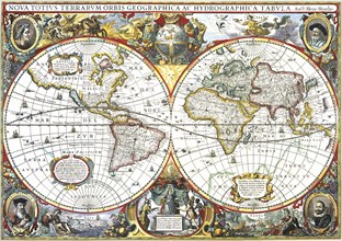
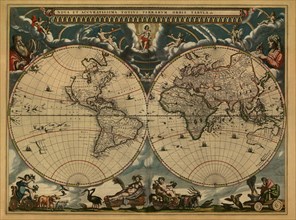
Dual Hemisphere Map of the World 1668
UMG21A17_223
Oval World Map
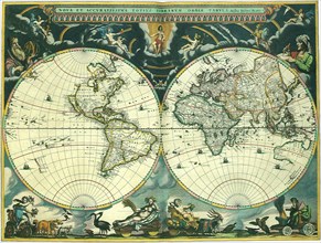
UMG21A17_375
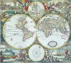
Double Hemisphere Map 1673
UMG21A17_302
Double-Hemisphere Map 1542
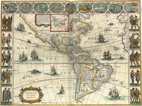
UMG21A18_167
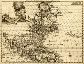
Map of New World 1617
UMG21A17_079
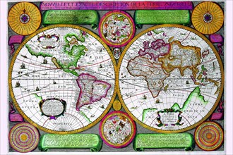
Nova et Accuratissima Totius Terrarum
UMG21A17_307
World Map in Projection 1595
UMG21A02_080
The two halves of the earth after the Globe von Be...
UMG20B38_225
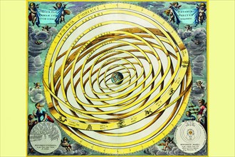
Earth's Sphere according the author.
UMG20B40_178
Argo Navis.
UMG20B40_189
Centaur Phyllirides.
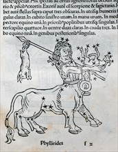
UMG20B38_224
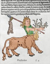
Centaur Phyllirides.
UMG20B38_223
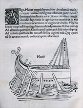
Argo Navis.
UMG20B44_481
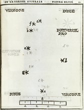
Corona Australis, constellation. Hemisphere. Engra...

UMG20B47_002
Scrophularia nodosa
UMG20B48_229
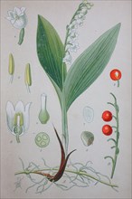
Lily of the valley

UMG20B26_102
Roman sundial placed in the city centre
UMG20B20_028
Magic lantern slide circa 1900

UMG20A49_041
Finest in the World 1885
UMG20A00_313
New map of the world : with all the new discoverie...
UMG20A01_355
Northern Hemisphere - 1750 1750
UMG20A01_500
Portuguese Ports in Portugal & Spain - 1630 1630
UMG20A04_091
Stereographic World Map with Insets of Polar Proje...
UMG20A04_088
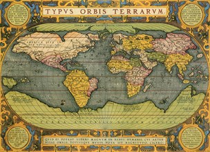
Typus Orbis Terrarum from the Theatre of the World...
UMG20A01_048
Map of Luxembourg 1622
UMG20A01_275
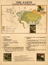
The Earth When Columbus Sailed 1898
UMG20A04_085
Celestial Map 1708
UMG20A04_108
The Americas - The Western Hemisphere 1746
UMG20A04_103
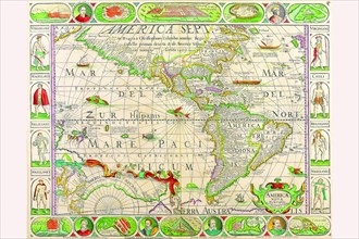
The Americas at the Time of Columbus Prited in 165...
UMG20A04_089
World Map with Figural Representations of the Worl...
UMG20A01_346
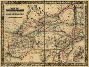
Civil War Railroad Map - 1862
UMG20A02_218
Globe in 1708 - World 1798
UMG20A04_090
Stereographic World Map of the Eastern & Western H...
UMG20A01_356
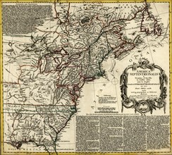
British Colonies in North America 1756
UMG20A02_106
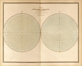
Polarization in the Atmosphere 1848
UMG20A01_076
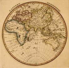
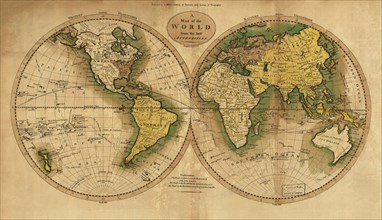
Eastern Hemisphere 1817
UMG20A01_077
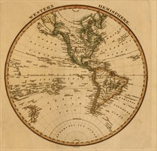
Western Hemisphere -1817
UMG20A01_078
Mercator's Chart -1817
UMG20A03_202
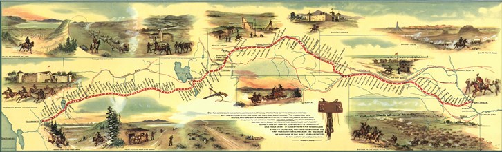
Pony Express Route 1860 - 1861 1860
UMG20A00_319
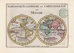
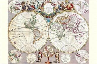
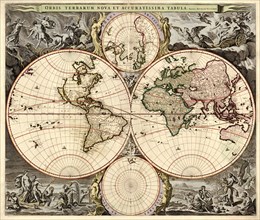
World Map 1690
UMG20A00_024
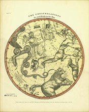
North Celestial Hemisphere 1790
UMG20A00_301
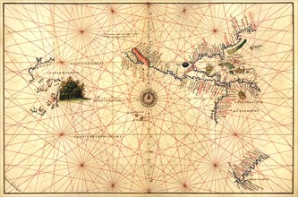
Portolan World Map 1620
UMG20A00_312
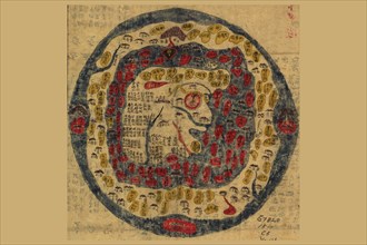
Manu?yaloka, map of the world of man, according to...
UMG20A00_309
Dionysius in the world traveled by the Greeks 163...
UMG20A00_310
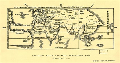
Early World Map 1525
UMG20A00_318
World Map 1660
UMG20A00_306
World Map
UMG20A00_311
World Map with Planets 1702
UMG20A00_305
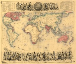
British Empire Throughout the World 1850
UMG20A00_315
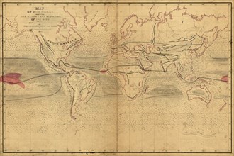
World Winds in Navigation 1850
UMG20A00_320
World Map 1789
UMG20A00_321
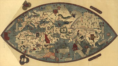
Genoese World Map 1425
UMG20A00_324
Winds of the World 1539
UMG20A00_307
Ming China Map of the World 1800
UMG20A00_323
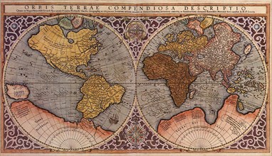
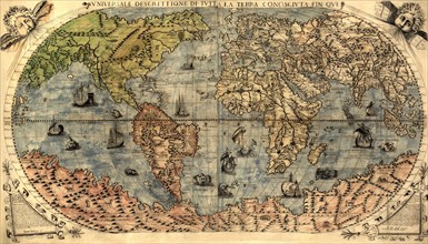
Universal Description of the Whole World 1565
UMG20A00_316
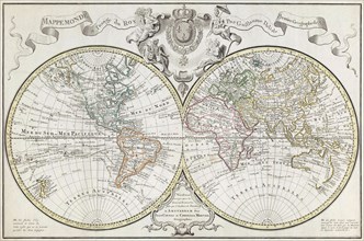
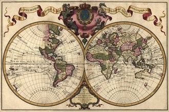
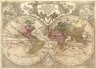
World Map Prepared for then French King 1700
UMG20A00_322
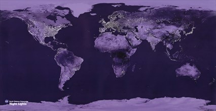
Satellite View of the World showing Electric light...
UMG20A00_294
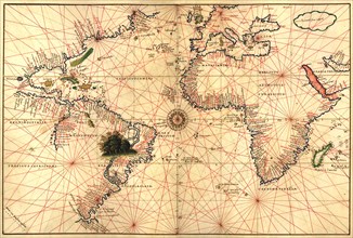
Portolan Map of the Western Hemisphere showing wha...
UMG20A00_314
Imperial Sheet Atlas 1808
UMG20A00_303
World Map
UMG20A00_304
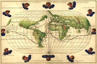
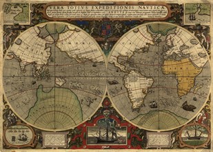
Vera Totius Expeditionis Nautica (World Map) 1570
UMG20A00_308
New & Accurate Map of the World 1664
UMG20A00_302
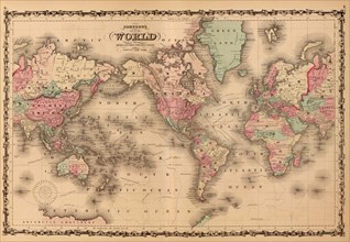
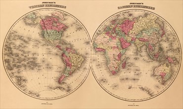
Johnson's World Map 1862
UMG20A00_317
World Map Prepared for then French King 1701
UMG20A18_388
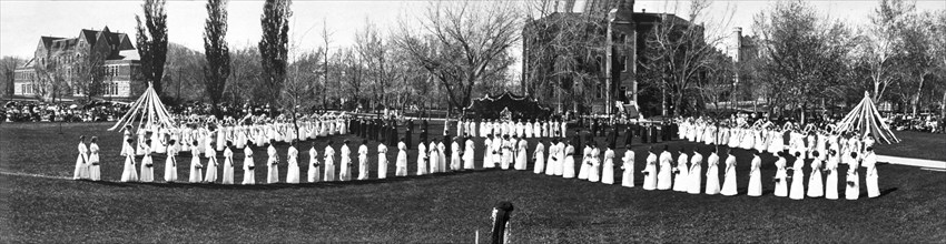
May Day Fete In Colorado
UMG20A21_349