95 résultats pour : geological map
- Page
-
- sur
- 1
Connectez-vous pour plus de résultats
HRM24A00_115
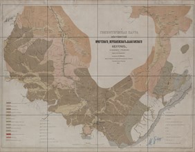
Geognostic Map of the Localities of Irkutsk, Verkh...
HRM24A00_018
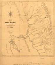
Map of the mining district of California, 1850. Cr...
HRM23A83_288
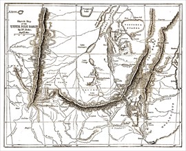
''Upper Nile Basin Map; The regions of the Cazembe...
HRM23A81_354
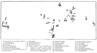
Relative position of the proposed India Museum and...
HRM23A58_058
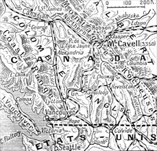
'A la memoire de Miss Edith Cavell; les Montagnes ...
HRM23A40_373
''Afrique Anglaise, Sud- Ouest Africain; Afrique A...
HRM23A40_474
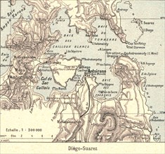
''Diego- Suarez; Iles Africaines de la mer des Ind...
HRM23A42_174
'Sur le front des balkans. -- Vue panaoramique du ...
HRM23A40_374
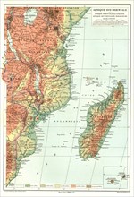
''Afrique Sud- Orientale; Afrique Australe', 1914....
HRM23A40_415
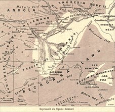
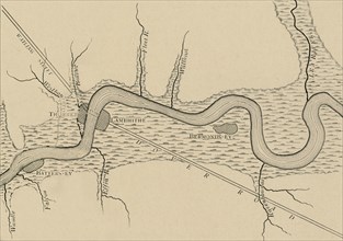
''Depressoin du Ngami Kalahari; Afrique Australe',...
HRM23A40_407
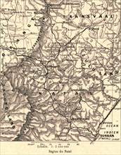
''Region du Natal; Afrique Australe', 1914. Creato...
HRM23A41_020
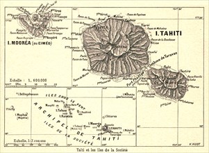
''Tahiti et les iles de la Societe; Les Terres Du ...
HRM23A40_377
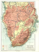
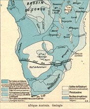
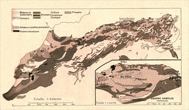
''Afrique Australe. Geologie; Afrique Australe', 1...
HRM23A40_402
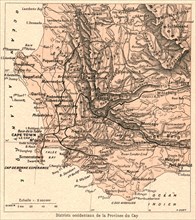
'Districts occidentaux de la Province du Cap; Afri...
HRM23A40_477
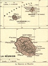
''La Reunion et Maurice; Iles Africaines de la mer...
HRM23A40_403
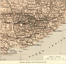
''Districts orientaux de la Province du Cap; Afriq...
HRM23A40_421
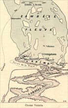
''Chutes Victoria; Afrique Australe', 1914. Creato...
HRM23A40_145
''Carte geologique; Afrique du nord', 1914. Creato...
HRM23A40_448
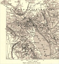
''Region septentrionale du Nyassa; Afrique Austral...
HRM23A40_475
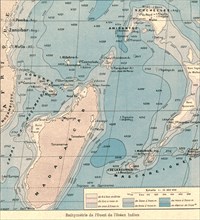
''Bathymetrie de l'Ouest de l'Ocean Indien; Iles A...
HRM23A40_449
''Grande vallee de fracture de lAfrique orientale;...
HRM23A40_460
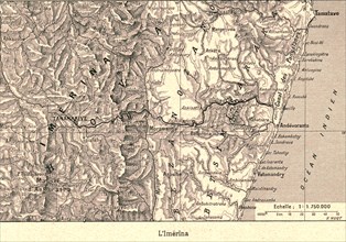
''L'Imerina; Iles Africaines de la mer des Indes',...
HRM23A40_485
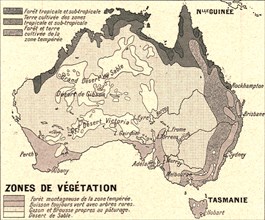
''Australie Zones de Vegetation; Les Terres Du Pac...
HRM23A40_450
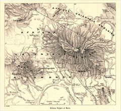
''Kilima Ndjaro et Meru; Afrique Australe', 1914. ...
HRM23A41_021
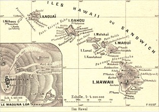
''Iles Hawai; Les Terres Du Pacifique', 1914. Crea...
HRM23A41_012
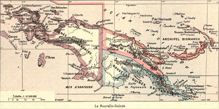
''La Nouvelle-Guinee; Les Terres Du Pacifique', 19...
HRM23A41_008
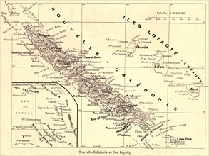
''Nouvelle-Caledonie et iles Loyalty; Les Terres D...
HRM23A40_483
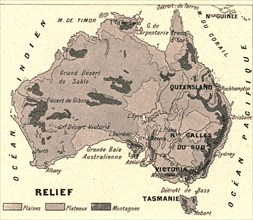
''Australie Relief; Les Terres Du Pacifique', 1914...
HRM23A41_006
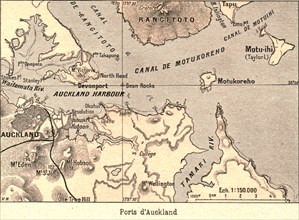
''Ports d'Auckland; Les Terres Du Pacifique', 1914...
HRM23A40_484
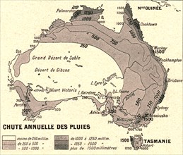
''Australie Chute Annuelle des Pluies; Les Terres ...
HRM23A41_005
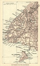
''Les Sounds de la Nouvelle-Zelande; Les Terres Du...
HRM22A91_278
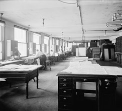
Geological Survey art room, between 1910 and 1920....
HRM22A34_146
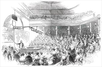
Royal Institution - Sir Roderick Murchison's Lectu...
HRM21A93_337
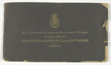
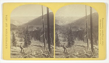
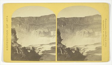
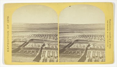
Geographical Explorations and Surveys West of the ...
HRM21A93_392
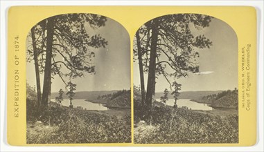
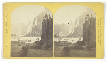
Geographical & Geological Explorations & Surveys W...
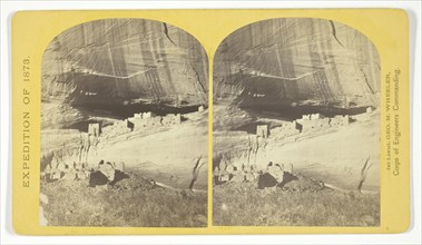
HRM21A93_328
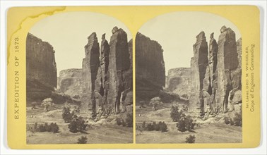
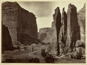
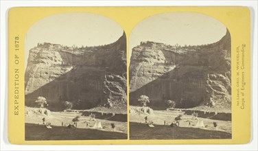
Camp Beauty, Cañon de Chelle..., 1873. Creator: Ti...
HRM21A93_342
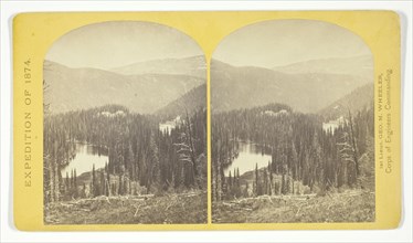
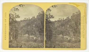
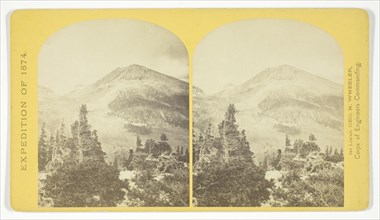
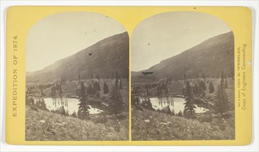
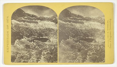
Lost Lakes, head of Conejos Cañon, Colorado, in th...
HRM21A93_353
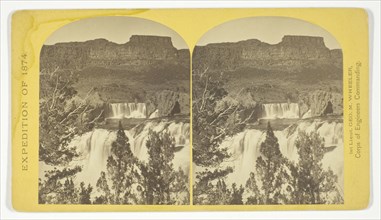
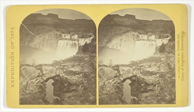
Shoshone Falls, Snake River, Idaho, looking throug...
HRM21A93_371
Alpine Lake, in the Sierra Nevada, California, 187...
HRM21A93_383
Bluff Opposite Big Horn Camp, Black Cañon, Colorad...
HRM21A93_386
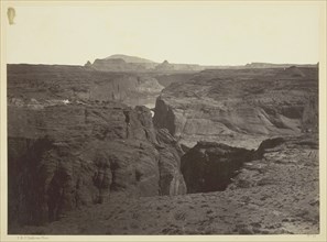
Cañon of the Colorado River, near Mouth of San Jua...
HRM21A88_212
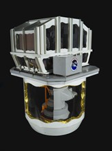
Model, Sensor, Large Format Camera, ca. 1984. Crea...
HRM21A93_329
Cañon, Valley of the Conejos River, looking south ...
HRM21A93_341
Lagunas Caballo, or Horse Lakes, 14 miles, N. W. f...
HRM21A93_354
Shoshone Falls, Snake River, Idaho, Main Fall, 210...
HRM21A93_385
Cañon de Chelle, Walls of the Grand Cañon, about 1...
HRM21A93_417
The South Side of Inscription Rock, 1873. Creator:...
HRM21A93_330
Central portion of Cañon de Chelle, New Mexico...,...
HRM21A93_351
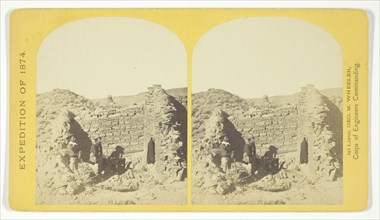
Ruins in Cañon de Chelle, N. M., in a cavity in th...
HRM21A93_403
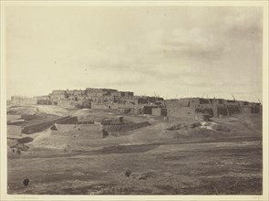
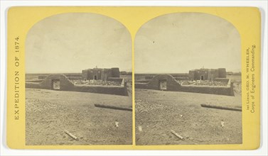
Indian Pueblo, Zuni, N.M. View from the South, 187...
HRM21A93_331
Characteristic ruin, of the Pueblo San Juan, New M...
HRM21A93_339
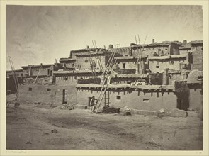
Indian Pueblo of Zuni, New Mexico; view from the i...
HRM21A93_390
Distant View of Camp Apache, Arizona, 1873. Creato...
HRM21A93_402
Iceberg Cañon, Colorado River, Looking Above, 1871...
HRM21A93_414
Snow Peaks, Bull Run Mining District, Nevada, 1871...
HRM21A93_391
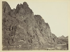
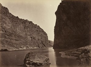
Entrance to Black Cañon, Colorado River, 1871. Cre...
HRM21A93_421
Wall in the Grand Cañon, Colorado River, 1871. Cre...
HRM21A93_324
Apache Lake, Summit of Sierra Blanca Mountains, ab...
HRM21A93_336
Gardens surrounding the Indian Pueblo of Zuni, in ...
HRM21A93_349
Roman Catholic Church, Plaza of Guadaloupe, Guadal...
HRM21A93_405
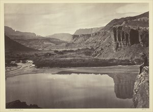
Looking Across the Colorado River to the Mouth of ...
HRM21A93_325
Baldy Peak, Cerro Blanco Mountains, Colorado, 14.2...
HRM21A93_335
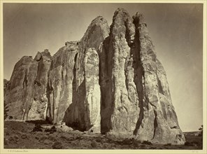
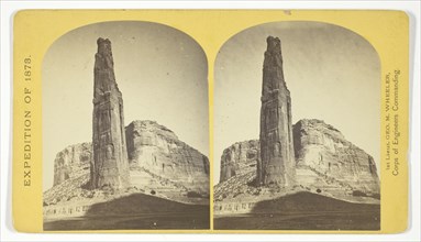
Explorers Column, Cañon de Chelle, Arizona. This s...
HRM21A93_326
Beaver Lake, Conejos Cañon, Colorado, 9.000 feet a...
HRM21A93_347
One of the group of Pagosa Hot Springs, showing in...
HRM21A93_407
North Fork Cañon, Sierra Blanca Creek, Arizona, 18...
HRM21A93_359
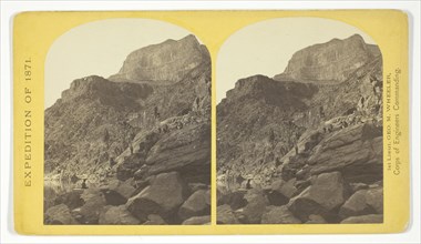
View across Black Cañon. The grand walls in perspe...
HRM21A93_397
Head of Cañon de Chelle, Looking Down. Walls about...
HRM21A93_411
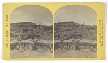
Section of the South Side of Zuni Pueblo, N.M., 18...
HRM21A93_409
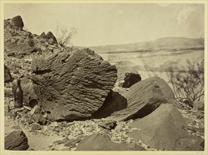
Rock Carved by Drifting Sand, Below Fortification ...
HRM21A93_362
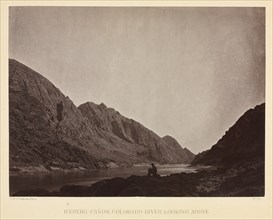
View of Grand Cañon walls, near mouth of Diamond R...
HRM21A93_361
View down Black Cañon, from Mirror Bar. The walls ...
HRM21A93_321
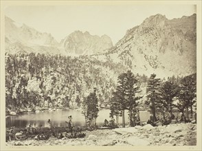
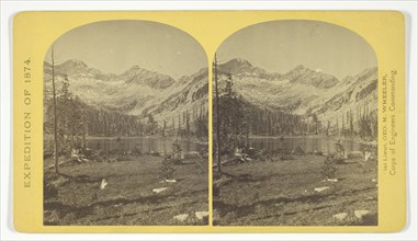
Alpine lakes, and mountain scenery, in the Cerro B...
HRM21A93_332
Circle Walls, Cañon de Chelle..., 1873. Creator: T...
HRM21A93_320
Alpine Lake, in the Cerro Blanco Mountains, Colora...
HRM21A93_333
Cooley's Ranch, 10 miles east of Camp Apache, Ariz...
HRM21A93_355
Shoshone Falls, Snake River, Idaho. Gorge and natu...
HRM21A93_380
Black Cañon, Colorado River, Looking Below, Near C...
HRM21A93_382
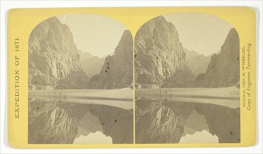
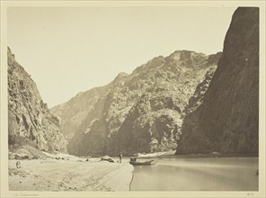
Black Cañon, looking above from Mirror Bar, 1871. ...
HRM19F87_343
Iceberg Canyon, Colorado River Looking Above, c. 1...
HRM19G03_082
Sand Dunes, Carson Desert, Nevada, 1867. Creator: ...
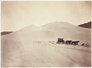
HRM19F13_094
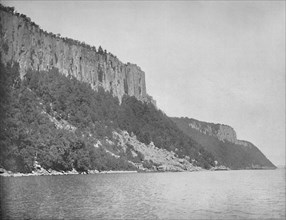
Northern End of Palisades, Hudson River', c1897.
HRM19F22_370
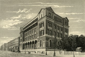
'Royal School of Mines, South Kensington'

HRM19F04_418
Costume of the Glaciers', 1875.
HRM19E20_141
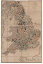
Delineation of the Strata of England and Wales wit...
HRM19D47_043
'The Marshes of Early London', 1908. Artist: Unkno...
HRM19D47_042
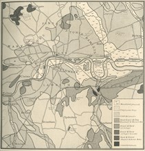
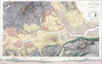
'Geological Map of the Site of London', 1908. Arti...
HRM19D47_052
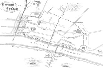
'Norman London', 1908. Artist: Unknown.
HRM19D43_310
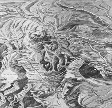
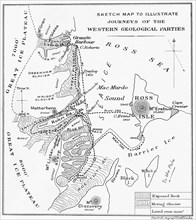
'Sketch Map to Illustrate Journeys of the Western ...
HRM19D47_050
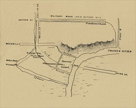
'The Situation of Westminster', 1908. Artist: Unkn...
HRM19B63_271
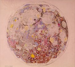
Geological map of the moon, 1967. Artist: Unknown
HRM19B64_144
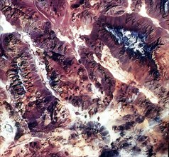
Death Valley, California, USA, 1982-1993. Artist: ...
HRM19B64_104
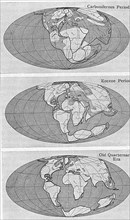
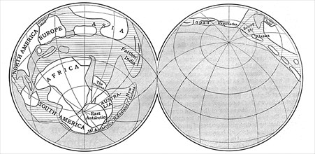
Theory of Continental Drift, 1922. Artist: Unknown
HRM19B64_103
Diagram of the Earth during the Carboniferous peri...
HRM19A97_095