123 résultats pour : geography
- Page
-
- sur
- 2
Connectez-vous pour plus de résultats
ARP24A00_386
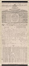
Buddhist geography maps
ARP23A10_113
Illustration showing a map of the garden of Eden, ...
ARP23A10_123
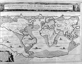
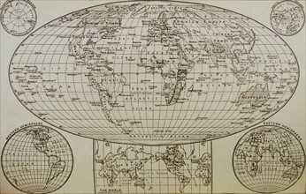
World map showing land formations and continents a...
ARP23A10_313
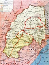
French map of the Transvaal at the outbreak of the...
ARP23A10_284
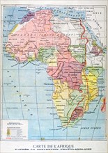
French map of territories controlled by the coloni...
ARP23A12_252
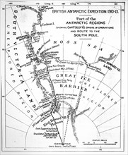
Map illustrating an Expedition of Captain Robert F...
ARP23A12_432
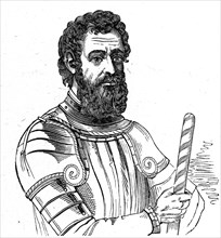
Portrait of Amerigo Vespucci
ARP23A12_440
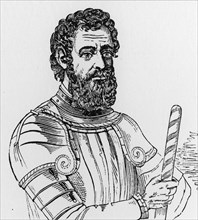
Portrait of Amerigo Vespucci
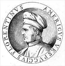
ARP23A12_439
Portrait of Amerigo Vespucci
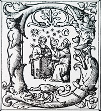
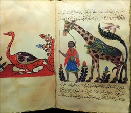
ARP23A13_303
An initial letter depicting Ptolemy observing the ...
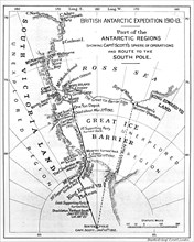
ARP23A12_251
Map illustrating an Expedition of Captain Robert F...
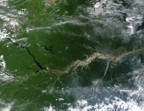
ARP15A02_047
True-colour satellite image of the River Amazon
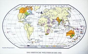
ARP18A05_093
British world map 1914. WWI.
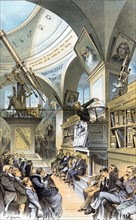
ARP18A19_179
Satirical, interior view of a museum hall
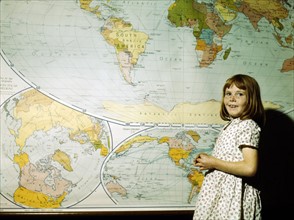
ARP18A07_420
School Girl
ARP18A27_095
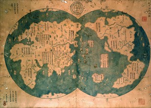
The world as known at the end of the 15th century
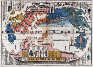
ARP18A09_025
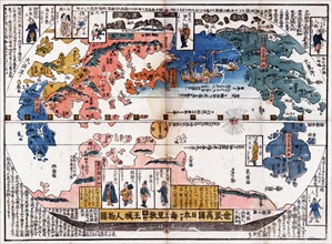
Japanese diptych print
ARP18A27_082
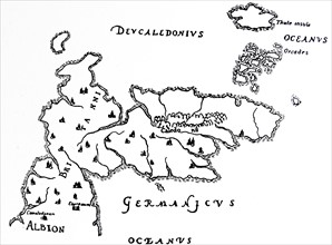
North Britain and Island of Thule.
ARP18A27_093
A portion of Africa from Fra Mauro's map
ARP18A27_202
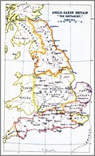
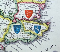
Map showing the Heptarchy (from the Greek hepta, s...
ARP18A27_087
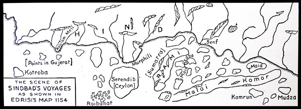
The scene of Sinbad's voyages as shown in Edrisi's...
ARP18A27_080
The coast of Africa, after Ptolemy (Mercator's edi...
ARP18A27_196
Shields of Sussex, Kent and Essex from the Heptarc...
ARP18A29_206
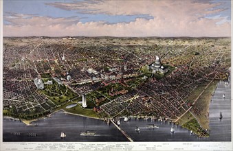
Arial view of Washington from the Potomac
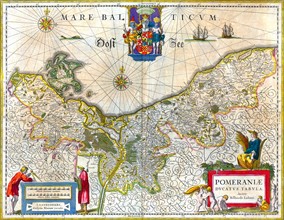
ARP18A16_438
17th Century Map of Pomerania
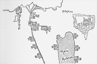
ARP18A27_081
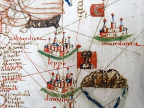
Alexandria in Pizzigani's Map
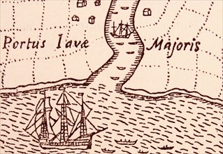
ARP18A27_113
The Golden Hind at Java.
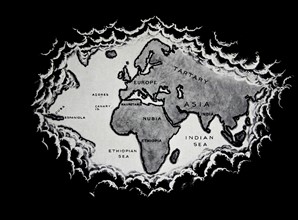
ARP18A10_120
An early map of the world
ARP18A12_473
Advances in zoology, botany, astronomy and navigat...
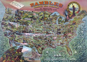
ARP18A29_189
Geographical game called 'Rambles through our Coun...
ARP18A12_471
Advances in zoology, botany, astronomy and navigat...
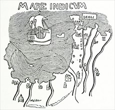
ARP18A27_098
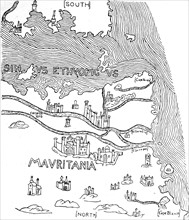
The Malabar Coast.
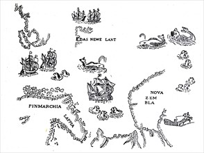
ARP18A27_117
Nova Zambia and the Arctic Regions.
ARP18A07_047
Map of Prussia in Germany circa 1870
ARP18A27_118
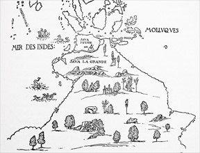
An early map of 'Terra Australis', called 'Java La...
ARP18A27_482
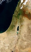
Satellite image of the Dead Sea between Israel and...
ARP15A01_183
Chinese map of the world dated 1763
ARP15A00_251
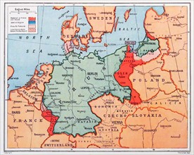
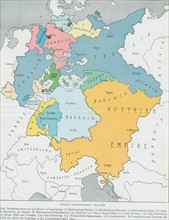
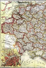
Map of The German Confederation 1815-1866
ARP15A00_370
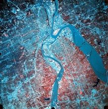
Infrared photograph of confluence of Missouri and ...
ARP17A31_111
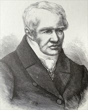
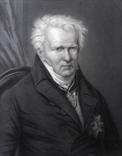
Alexander von HUMBOLDT - 1769 - 1859
ARP17A30_481
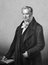
Alexander von HUMBOLDT - 1769 - 1859
ARP17A31_113
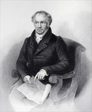
Alexander von HUMBOLDT - 1769 - 1859
ARP17A31_114
Alexander von HUMBOLDT - 1769 - 1859
ARP17A22_314
Section of a globe
ARP17A24_392
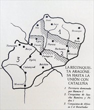
Map depicting 'The Reconquista' of the Kingdom of ...
ARP17A24_397
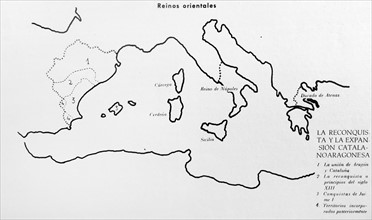
Map depicting 'The Reconquista' of the Catalan
ARP17A23_362
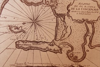
Map depicting the Bay of Concepción
ARP17A26_229
Various elements of our geographic framework
ARP17A25_209
Modern representation of the world shown on three ...
ARP17A24_173
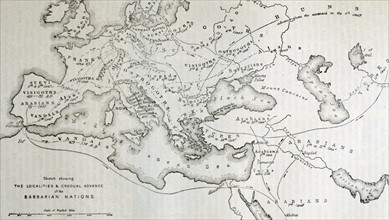
Map illustrating the localities of origin or occup...
ARP17A17_375
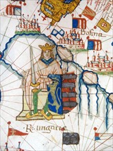
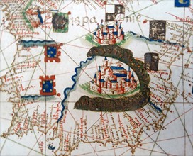
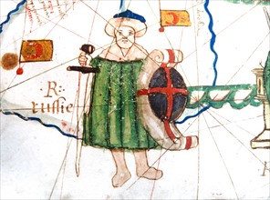
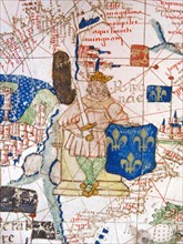
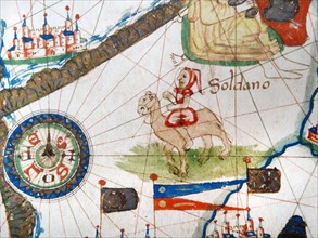
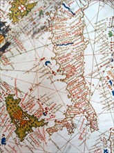
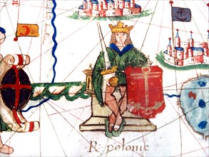
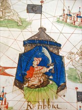
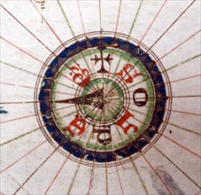
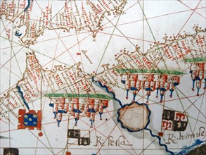
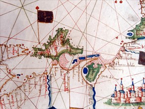
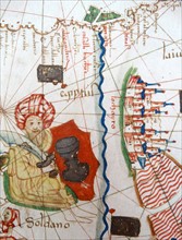
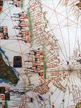
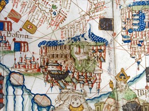
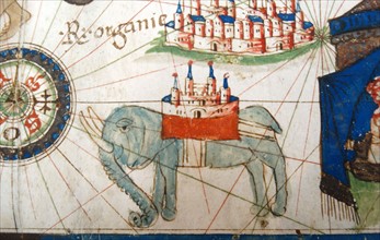
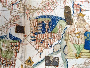
Renaissance map of Europe, Jacopo Russo, 1528, sho...
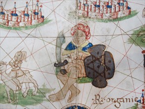
ARP17A17_376
Renaissance map of Europe, Jacopo Russo, 1528, sho...
ARP17A17_355
Renaissance map of Europe, Jacopo Russo, 1528,
ARP17A17_356
Renaissance map of Europe, Jacopo Russo, 1528,
ARP17A17_365
Renaissance map of Europe, Jacopo Russo, 1528,
ARP17A17_335
Renaissance map of Europe, Jacopo Russo, 1528,
ARP17A17_346
Renaissance map of Europe, Jacopo Russo, 1528,
ARP17A17_336
Renaissance map of Europe, Jacopo Russo, 1528,
ARP17A17_342
Renaissance map of Europe, Jacopo Russo, 1528,
ARP17A17_349
Renaissance map of Europe, Jacopo Russo, 1528,
ARP17A17_360
Renaissance map of Europe, Jacopo Russo, 1528,
ARP17A17_367
Renaissance map of Europe, Jacopo Russo, 1528,
ARP17A17_341
Renaissance map of Europe, Jacopo Russo, 1528,
ARP17A17_350
Renaissance map of Europe, Jacopo Russo, 1528,
ARP17A17_359
Renaissance map of Europe, Jacopo Russo, 1528,
ARP17A17_368
Renaissance map of Europe, Jacopo Russo, 1528,
ARP17A17_377
Renaissance map of Europe, Jacopo Russo, 1528, sho...
ARP17A17_344
Renaissance map of Europe, Jacopo Russo, 1528,
ARP17A17_347
Renaissance map of Europe, Jacopo Russo, 1528,
ARP17A17_369
Renaissance map of Europe, Jacopo Russo, 1528, det...
ARP17A17_334
Renaissance map of Europe, Jacopo Russo, 1528,
ARP17A17_348
Renaissance map of Europe, Jacopo Russo, 1528,
ARP17A17_370
Renaissance map of Europe, Jacopo Russo, 1528, det...
ARP17A17_338
Renaissance map of Europe, Jacopo Russo, 1528,
ARP17A17_371
Renaissance map of Europe, Jacopo Russo, 1528, det...
ARP17A17_337
Renaissance map of Europe, Jacopo Russo, 1528,
ARP17A17_372
Renaissance map of Europe, Jacopo Russo, 1528, det...
ARP17A14_161
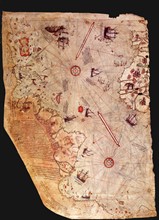
Surviving fragment of the first World Map of Piri ...
ARP17A17_351
Renaissance map of Europe, Jacopo Russo, 1528,
ARP17A17_373
Renaissance map of Europe, Jacopo Russo, 1528, det...
ARP17A17_339
Renaissance map of Europe, Jacopo Russo, 1528,
ARP17A17_352
Renaissance map of Europe, Jacopo Russo, 1528,
ARP17A17_361
Renaissance map of Europe, Jacopo Russo, 1528,
ARP17A17_374
Renaissance map of Europe, Jacopo Russo, 1528, det...

ARP17A05_272
cloud-free views of Western Europe over the Iberia...
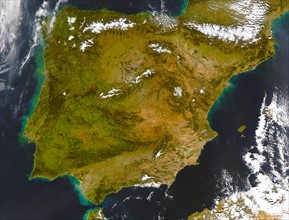
ARP17A05_288
Iberian Peninsula (satellite image) showing Spain ...
ARP16A00_382
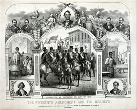
The Fifteenth Amendment and its results

ARP16A00_164
The universal church of the future, 1883
ARP15A00_021
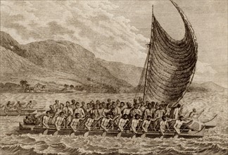
Terreeoboo, King of O'Whyee, bringing presents to...
ARP15A02_402
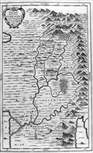
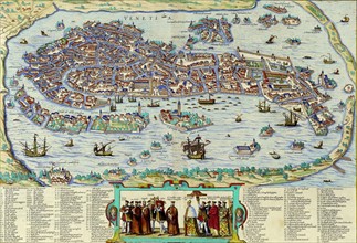
Carte de Venise
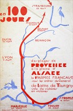
ARP15A06_496
Map showing the victorious World War Two, route of...
ARP15A07_149
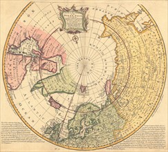
New & Accurate Map of the North Pole 1747.
ARP11A05_102
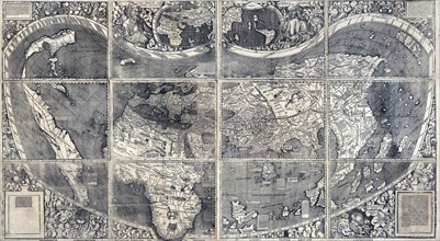
Martin Waldesmüller was the first cartographer to ...
ARP11A01_096
Industrialisation in Russia
ARP11A00_412
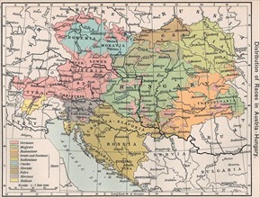
"Distribution of Races in Austria-Hungary"
ARP11A01_013
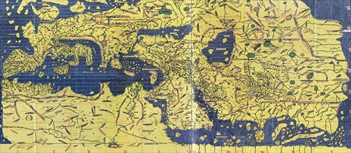
The Tabula Rogeriana
ARP11A00_032
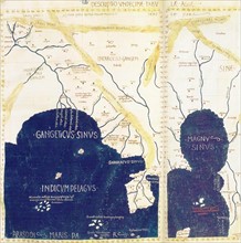
South-East Asia from Ptolemy's geography
ARP11A01_296
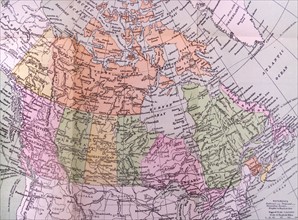
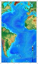
Map showing ocean floor with the Mid-Atlantic ridg...
ARP11A01_183
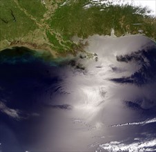
View of the Gulf of Mexico
ARP11A01_177
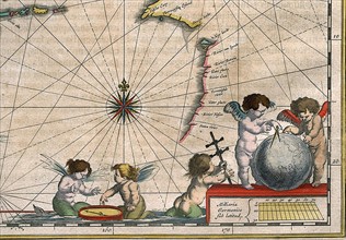
Detail of a map of The Indies, 1635
- Page
-
- sur
- 2