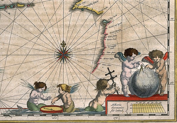
Sujet
Detail of a map of The Indies, 1635
Légende
Willem Janszoon Blaeu (1571-1638)
Detail of a map of The Indies, called eastern, and neighbouring islands. (detail of the lower right corner).
Published in "India quae orientalis dicitur et insulae adiacentes.", 1635
Date
1635
Crédit
Photo12/Ann Ronan Picture Library
Notre référence
ARP11A01_177
Licence
Droits gérés
Format disponible
50.6Mo (3.4Mo) / 42.7cm x 29.7cm / 5048 x 3504 (300dpi)