40 résultats pour : cartographer
- Page
-
- sur
- 1
Connectez-vous pour plus de résultats
ARP24A00_437
Die erst general Tafel die Beschreibung und den Ci...
ARP24A01_238
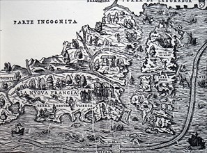
Gastaldi's map of New France
ARP23A13_423
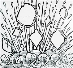
Engraving depicting a fire seen in the night sky o...
ARP23A13_422
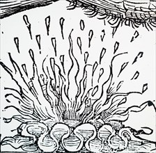
Engraving depicting an aurora during the 7th Centu...

ARP23A13_394
Engraving depicting the fifth day of creation - Go...
ARP23A12_432
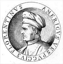
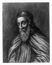
Portrait of Amerigo Vespucci
ARP23A12_440
Portrait of Amerigo Vespucci
ARP23A12_439
Portrait of Amerigo Vespucci
ARP23A15_110
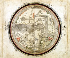
Medieval 10th century World map by Abu Ishaq Ibrah...
ARP23A10_063
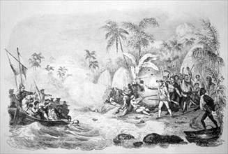
19th century illustration showing the death of Cap...
ARP23A16_330
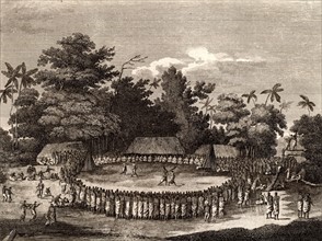
Captain James Cook witnessing a human sacrifice in...
ARP23A13_396
Engraving depicting the sixth day of creation - Go...
ARP23A13_395
Engraving depicting the creation of Adam and Eve f...
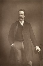
ARP15A03_159
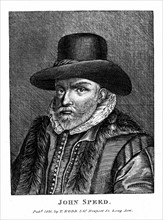
'William Martin Conway, Baron Conway of Ellington
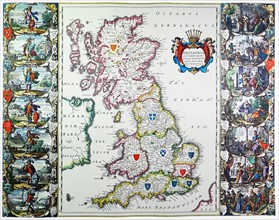
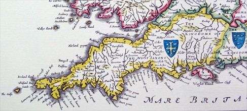
ARP18A27_193
Antique map of Britain. Published 1635

ARP18A27_217
Line drawing of Brother William
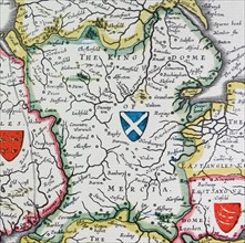
ARP18A27_199
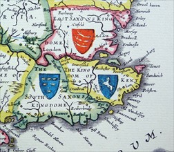
Shield of Northumberland, from the Heptarchy; a co...
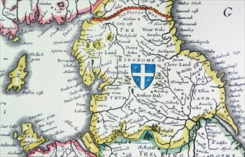
ARP18A27_198
Shield of Mercia, from the Heptarchy; a collective...
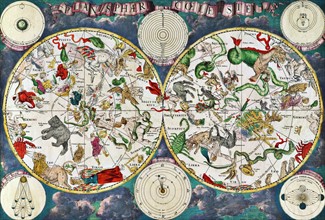
ARP18A19_241
Celestial map of the 17th century
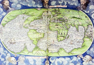
ARP18A16_413
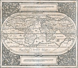
16th Century Map of the World
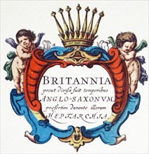
ARP18A27_195
The Heptarchy is a collective name applied to the ...
ARP18A27_196
Shields of Sussex, Kent and Essex from the Heptarc...
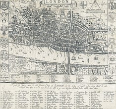
ARP18A16_416
16th Century Map of London
ARP18A27_197
Shields of Wessex and Sussex from the Heptarchy; a...
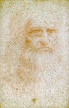
ARP18A19_471
Leonardo da Vinci
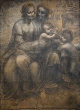
ARP17A39_243
The Virgin and Child with Saint Anne and Saint Joh...
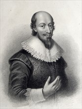
ARP17A34_339
Portrait of Robert Gordon of Straloch
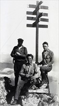
ARP17A26_056
Survey at Kruzof Island
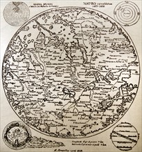
ARP17A25_159
Fra Mauro map
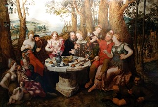
ARP17A20_377
An Allegory of True Love by Pieter Pourbus
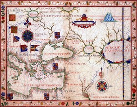
ARP17A12_013
map of the near east by Fernão Vaz Dourado (c. 152...
ARP17A02_225
Engraving of Amerigo Vespucci
ARP15A00_021
Terreeoboo, King of O'Whyee, bringing presents to...
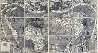
ARP11A05_102
Martin Waldesmüller was the first cartographer to ...
ARP10A03_221
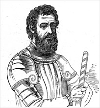
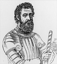
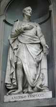
Amerigo Vespucci
ARP10A02_274
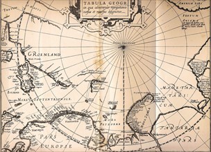
Map of 1611 of the third voyage of William Barents...
ARP07114_010710P
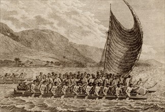
The Reception of Captain Cook in Hapaee'
ARP07114_010711P
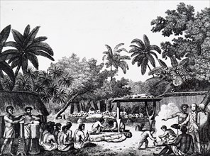
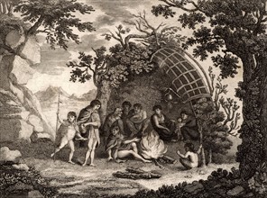
A Family in Dusk Bay
ARP07114_010712P
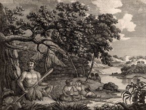
View of the Indians of Terra Del Fuego with a repr...
ARP07096_390001553