Sujet
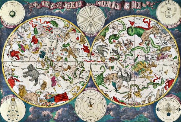
Celestial map of the 17th century
Légende
Celestial map of the 17th century, by the Dutch cartographer Frederik de Wit. Star groups and astrological and zodiac signs are shown
Date
1754
Crédit
Photo12/Ann Ronan Picture Library
Notre référence
ARP18A19_241
Licence
Droits gérés
Format disponible
60.0Mo (6.8Mo) / 47.2cm x 31.9cm / 5574 x 3762 (300dpi)