18 résultats pour : topographical
- Page
-
- sur
- 1
Connectez-vous pour plus de résultats
UMG22A69_248
Viele's Water Map.
UMG22A33_045
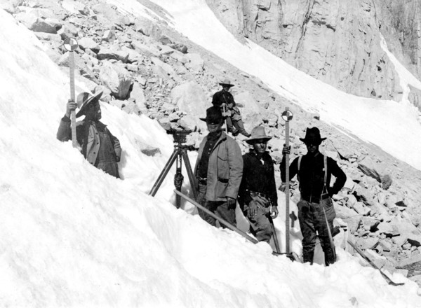
In this photo, taken in August 1905, we see a USGS...
UMG21A17_082
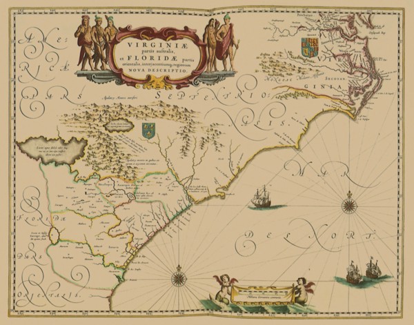
The Massacre of Matanzas Inlet
UMG21A17_338
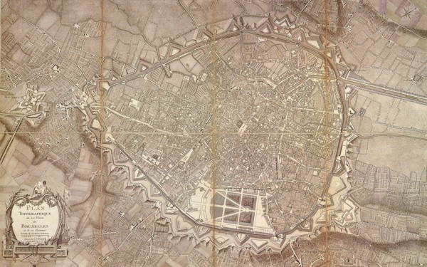
Brussels Topography 1777
UMG20A74_102
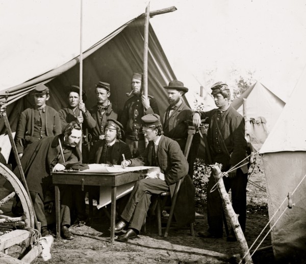
Yorktown, Virginia (vicinity). Topographical Engin...
UMG20A02_494
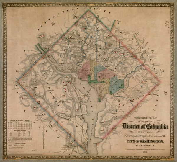
Civil War Fortified Washington 1864
UMG20A04_136
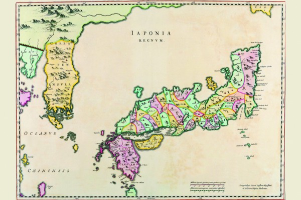
Japan & Korea 1655
UMG20A02_410
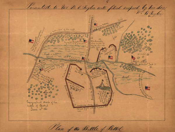
Topographical sketch of the Battle of Bethel, June...
UMG20A02_425
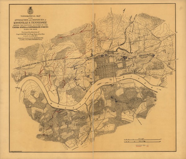
Siege of Knoxville 1864

UMG20A04_086
The Lunar Surface 1696

UMG20A04_095
Stereographic Map of the World - Theatrum Orbis Te...
UMG20A03_208
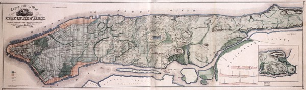
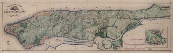
Manhattan Island - 1865 1865
UMG20A03_448
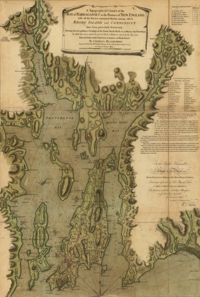
Narragansett Bay - 1777
UMG20A01_378
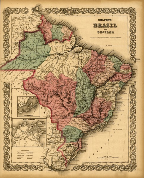
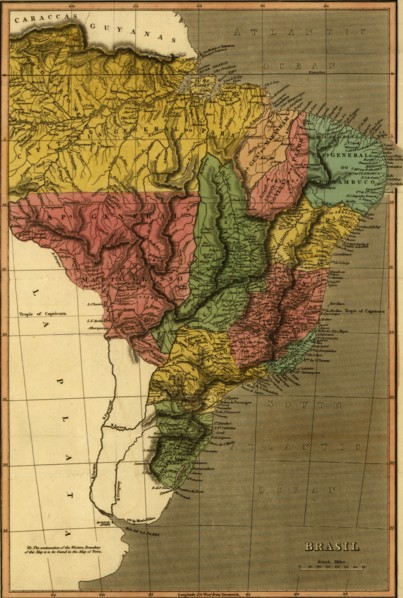
Brazil - 1871 1871
UMG20A03_475
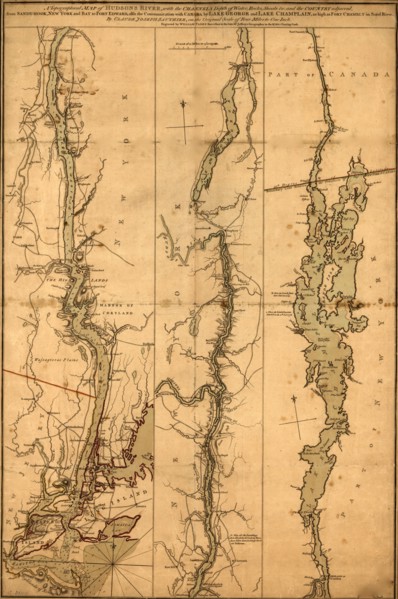
Topographical Map of the Hudson River - 1776 1777
UMG20A01_377
Brazil - 1822 1822
UMG20A03_399
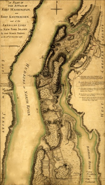
Hessian attack on Fort Washington under General Kn...
UMG12A19_033