248 résultats pour : antique world maps
- Page
-
- sur
- 3
Connectez-vous pour plus de résultats
UMG23A00_015
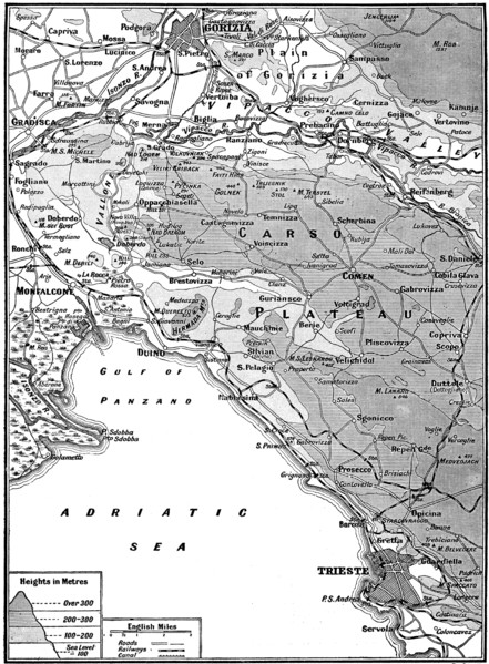
Map of Carso Battlefield.
UMG22A69_251
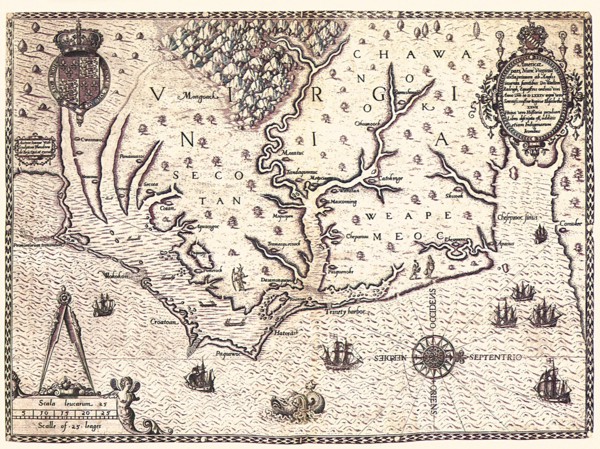
Americae pars, Nune Virginia dicta.
UMG22A69_257
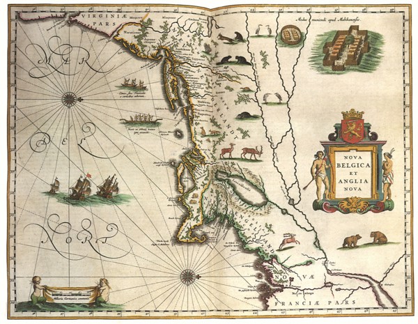
Nova Belgica et Anglia Nova.
UMG22A69_264
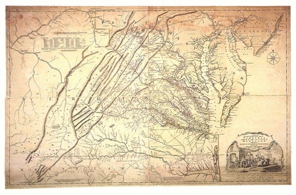
A Map of the most Inhabited part of Virginia.
UMG22A67_399
Head of the World.
UMG22A69_242
The Maggiolo Map.
UMG22A69_256
America noviter delineata.
UMG22A69_265
Carte reduite du Golphe de Mexique et des isles.
UMG22A69_255
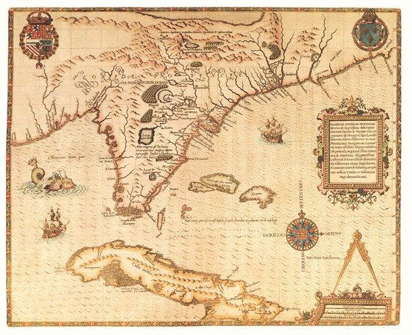
Virginiae Item et Floridae Americae Provinciarum n...
UMG22A69_266
A New Map of North America.
UMG22A69_254
Norumbega et Virginia.
UMG22A69_267
Virginia, Maryland and Delaware.
UMG22A65_277
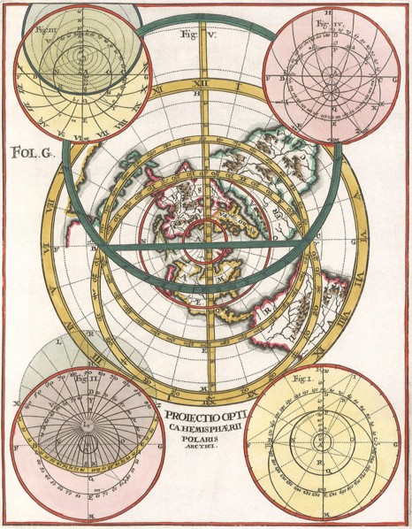
Polar Map 1702
UMG22A65_444
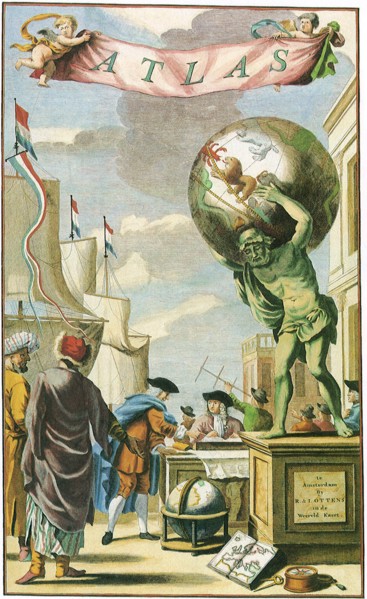
Atlas on Frontispiece
UMG22A69_253
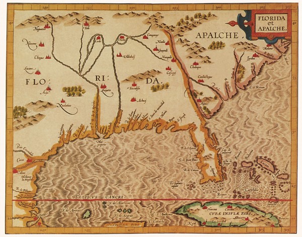
Florida et Apalche.
UMG22A69_260
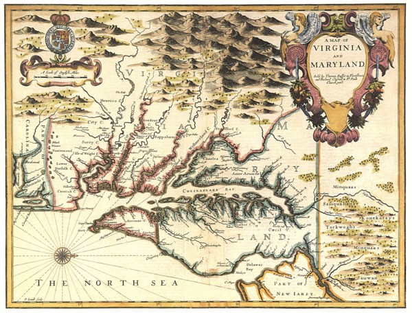
A Map of Virginia and Maryland.
UMG22A69_271
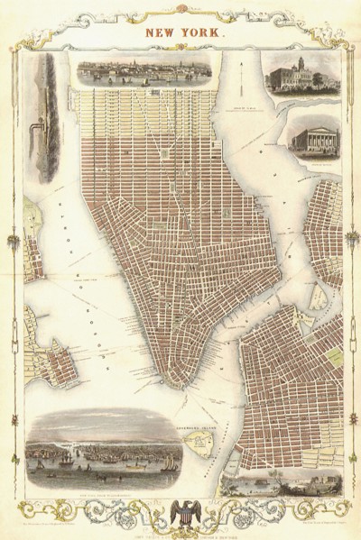
New York 1851.
UMG22A69_252
Floridae Americanae Provinciae Recens & exactissim...
UMG22A69_261
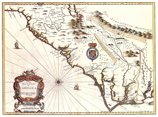
A New description of Carolina.
UMG22A69_270
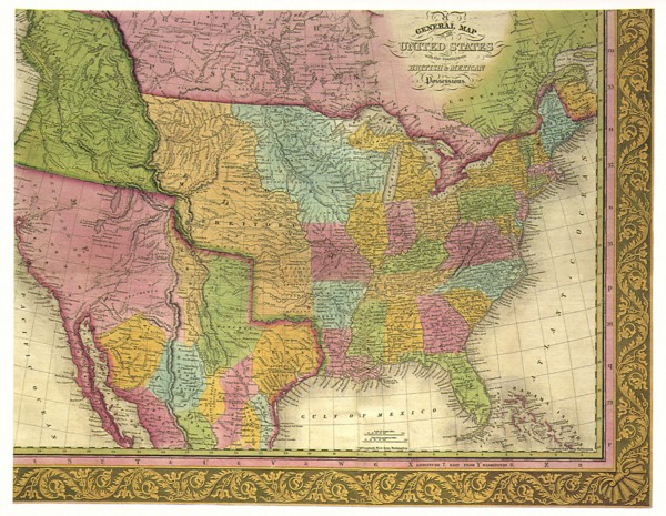
A General Map of the United States.
UMG22A69_262
Le Cours du Fleuve Missisippi.
UMG22A69_250
Tabu Nova Orbis.
UMG22A69_263
Carte des Lacs du Canada dressee sur les Manuscrit...
UMG22A69_272
Johnson's New Map of the State of Texas.
UMG22A65_274
Old World Irish Map 1600
UMG22A65_278
Map of Potosi, Peru 1758
UMG22A69_268
Map of Texas.
UMG22A69_269
Map of Oregon and Upper California.
UMG22A69_297
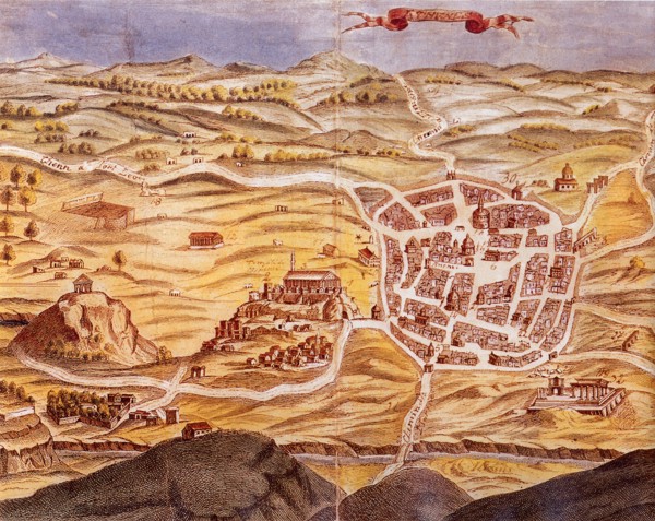
Plan of Athens.
UMG22A69_166
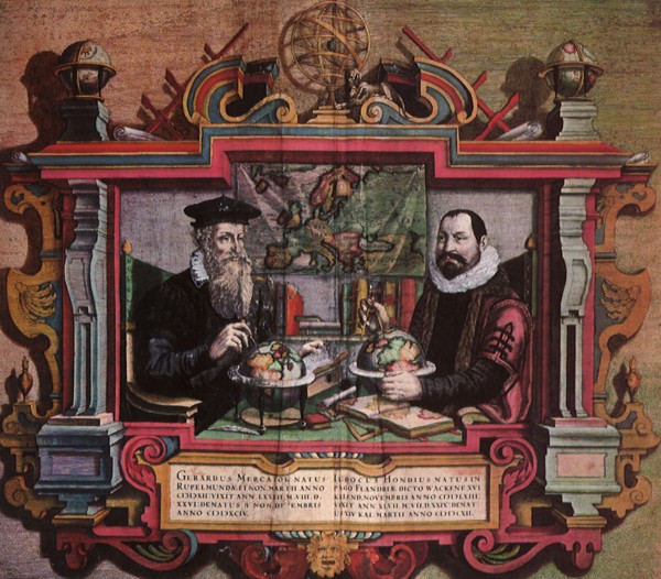
Mapmakers Gerard Mercator & Jodocus Hondius.
UMG22A69_259
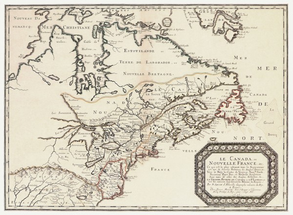
Le Canada,ou Nouvelle France.
UMG22A69_165
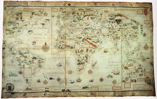
Map of the World.

UMG22A69_258
Amerca Septentrionalis.
UMG22A56_124
Géographie

UMG22A54_027
Géographie
UMG22A55_075
Géographie
UMG22A54_340
Géographie
UMG22A55_074
Géographie
UMG22A24_492
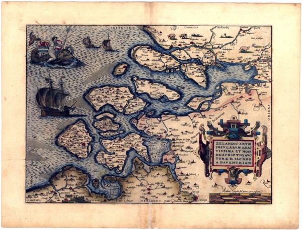
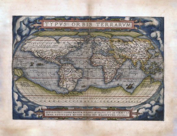
Abraham Ortelius - First World Atlas ca. 1570 - Ze...
UMG22A24_493
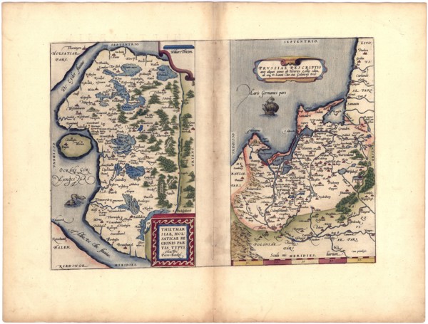
Abraham Ortelius - First World Atlas ca. 1570 - Th...
UMG22A24_494
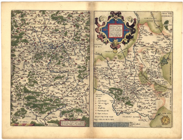
Abraham Ortelius - First World Atlas ca. 1570 - Fr...
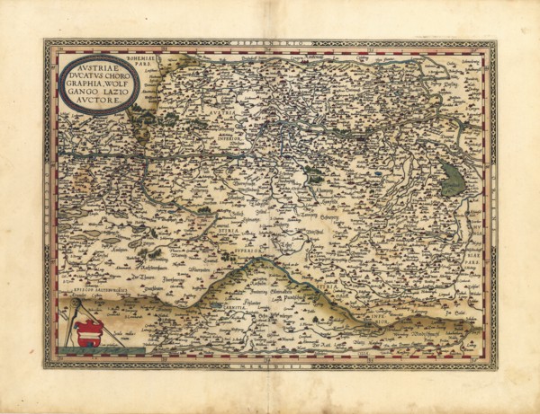
UMG22A32_143
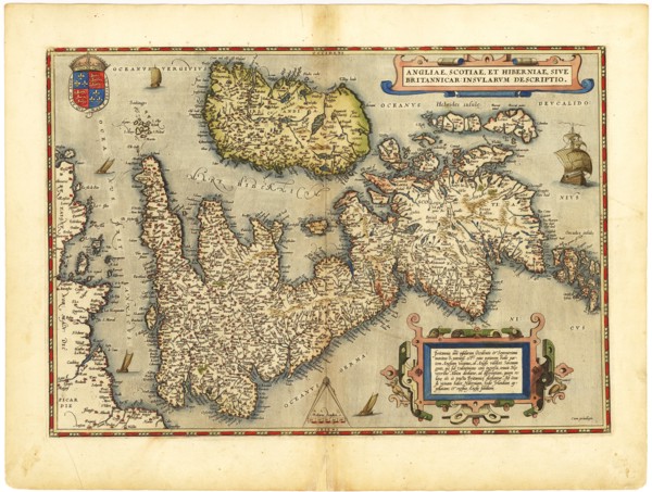
Abraham Ortelius - First World Atlas ca. 1570 - An...
UMG22A24_485
Abraham Ortelius - First World Atlas ca. 1570 - Th...
UMG22A24_495
Abraham Ortelius - First World Atlas ca. 1570 - Av...
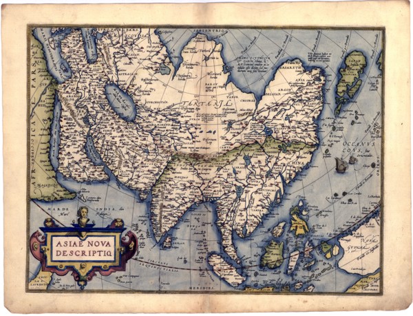
UMG22A32_142
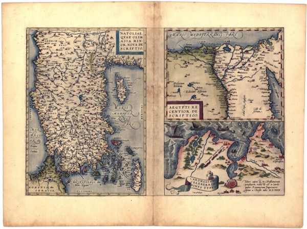
Abraham Ortelius - First World Atlas ca. 1570 - As...
UMG22A24_488
Abraham Ortelius - First World Atlas ca. 1570 - Bi...
UMG22A24_500
Abraham Ortelius - First World Atlas ca. 1570 - Rv...
UMG22A32_145
Abraham Ortelius - First World Atlas ca. 1570 - Ga...
UMG22A24_489
Abraham Ortelius - First World Atlas ca. 1570 - Ca...
UMG22A24_499
Abraham Ortelius - First World Atlas ca. 1570 - Si...
UMG22A32_144
Abraham Ortelius - First World Atlas ca. 1570 - Po...
UMG22A24_490
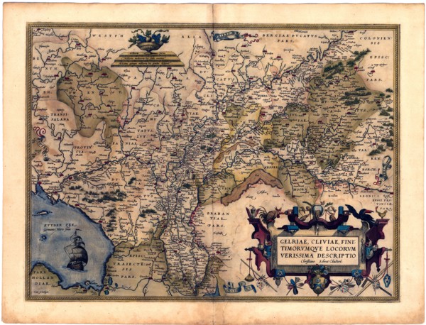
Abraham Ortelius - First World Atlas ca. 1570 - Ge...
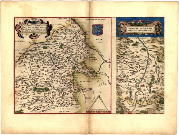
UMG22A25_002
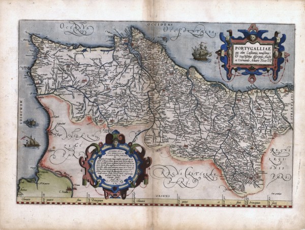
Abraham Ortelius - First World Atlas ca. 1570 - Na...
UMG22A32_147
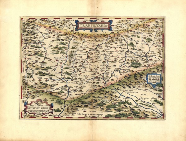
Abraham Ortelius - First World Atlas ca. 1570 - Tr...
UMG22A24_491
Abraham Ortelius - First World Atlas ca. 1570 - Br...
UMG22A25_001
Abraham Ortelius - First World Atlas ca. 1570 - Pe...
UMG22A32_146
Abraham Ortelius - First World Atlas ca. 1570 - Sa...
UMG22A32_149
Abraham Ortelius - First World Atlas ca. 1570 - Pa...
UMG22A32_148
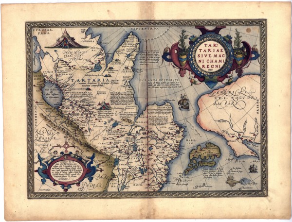
Abraham Ortelius - First World Atlas ca. 1570 - Ta...
UMG22A24_496
Abraham Ortelius - First World Atlas ca. 1570 - Ba...
UMG22A32_238
Abraham Ortelius - First World Atlas ca. 1570 - Gr...
UMG22A24_497
Abraham Ortelius - First World Atlas ca. 1570 - It...
UMG22A25_072
Abraham Ortelius - First World Atlas ca. 1570 - In...
UMG22A26_042
ca. 1750s - An Accurate map of North America from ...
UMG22A06_497
World map on the plane of the equator. Northern He...

UMG22A07_161
Reduced map of the northern parts of the world

UMG22A06_490
Square map of all the countries on the globe

UMG22A06_488
Map of all the countries of the world and pictures...
UMG21A17_181
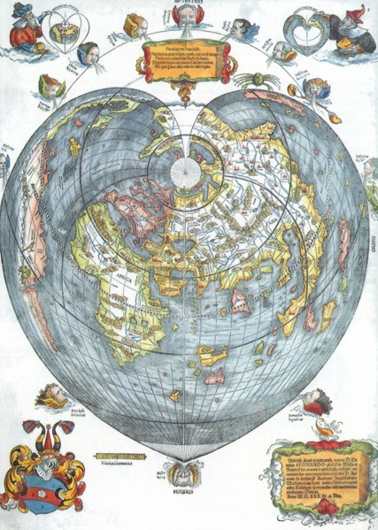
Cordiform World Map, 1536
UMG21A17_195
Ptolemaic World, 1482
UMG21A17_214
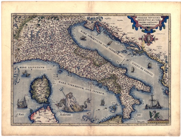
North Western Italy
UMG21A17_222
Americae Sive Novi Orbis, No Va Descriptio
UMG21A17_328
Great Britain 1606
UMG21A18_147
Early World Map 1630
UMG21A17_218
New World, 1570
UMG21A17_296
Inland Indian Ocean 1493
UMG21A18_098
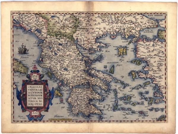
Map of Greece 1640
UMG21A17_085
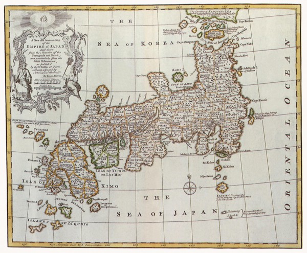
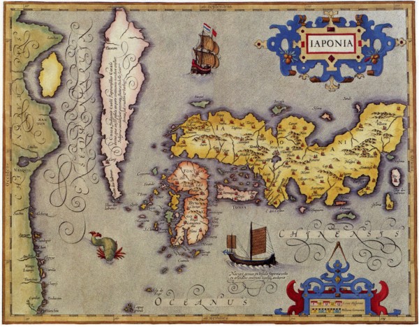
Japan, 1747
UMG21A17_182
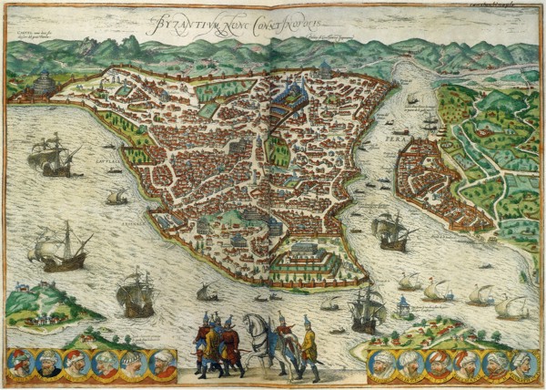
Constantinople, Byzantium
UMG21A17_190
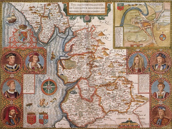
Lancashire, 1611
UMG21A17_352
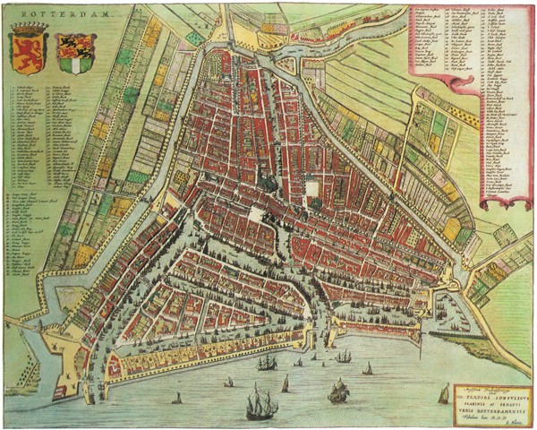
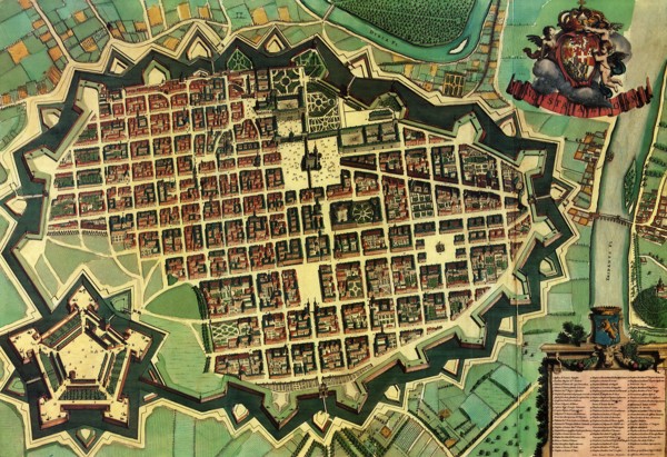
Map of Rotterdam. 1649
UMG21A18_097
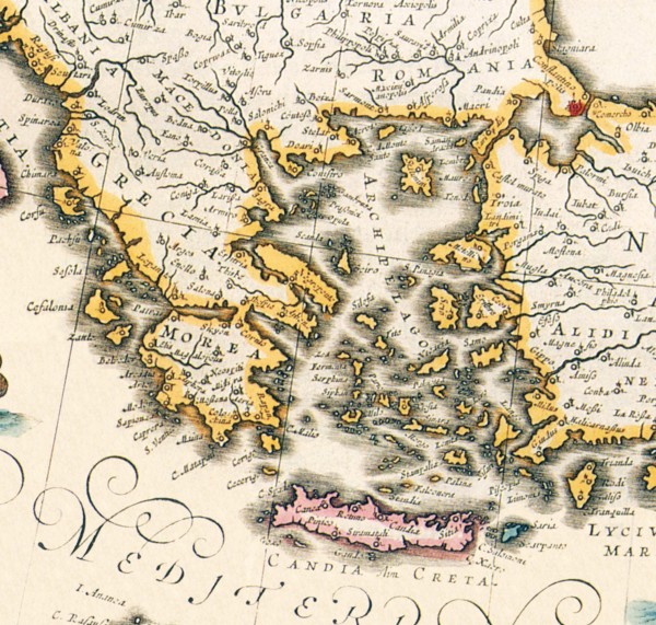
Map of Greece 1650
UMG21A18_151
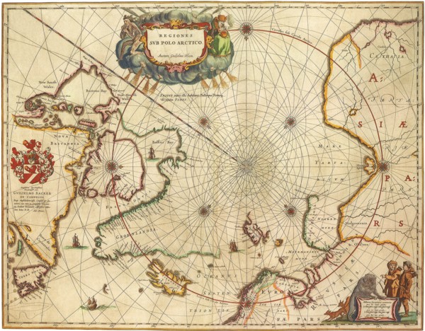
North Pole
UMG21A18_161
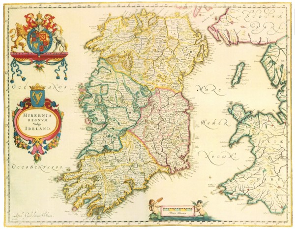
Map of Ireland 1635
UMG21A17_035
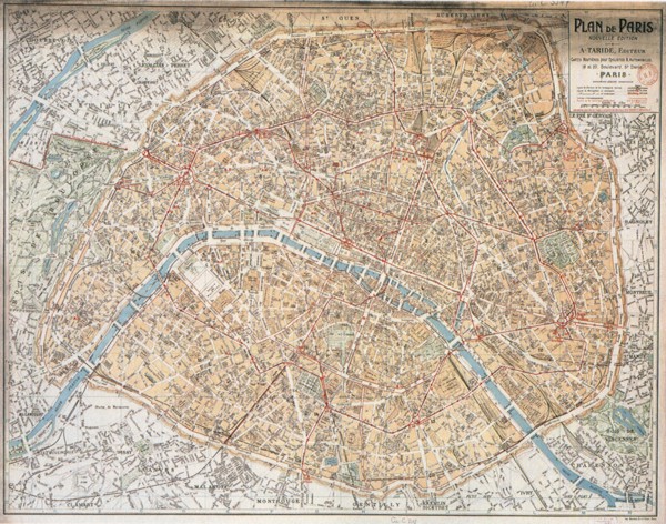
Map of Paris
UMG21A17_189
Japan, 1606

UMG21A17_320
Canada Map 1762
UMG21A17_351
Italian Town with Citadel 1663
UMG21A18_096
Early World Map
UMG21A18_099
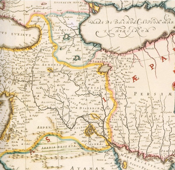
Map of Mesopotamia 1650
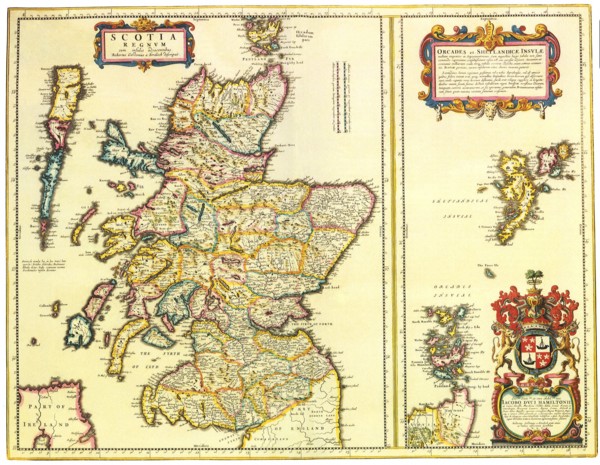
UMG21A18_160
Map of Scotland 1654
UMG21A17_271
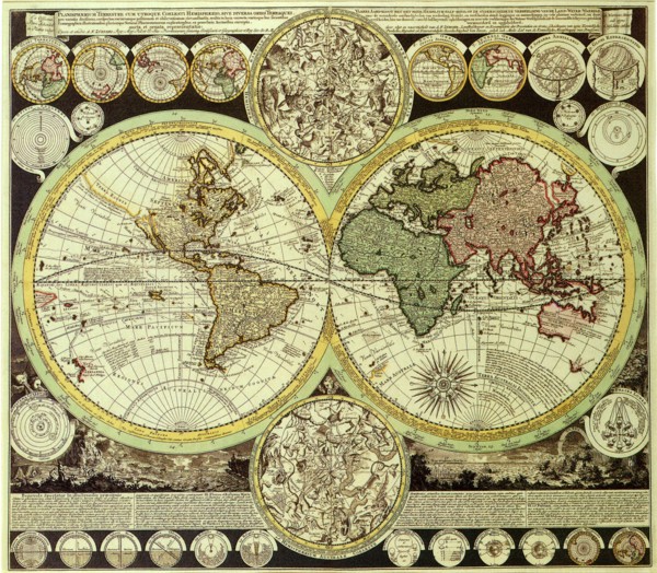
The World
UMG21A17_300
World Map with Red Sea 1526
UMG21A17_368
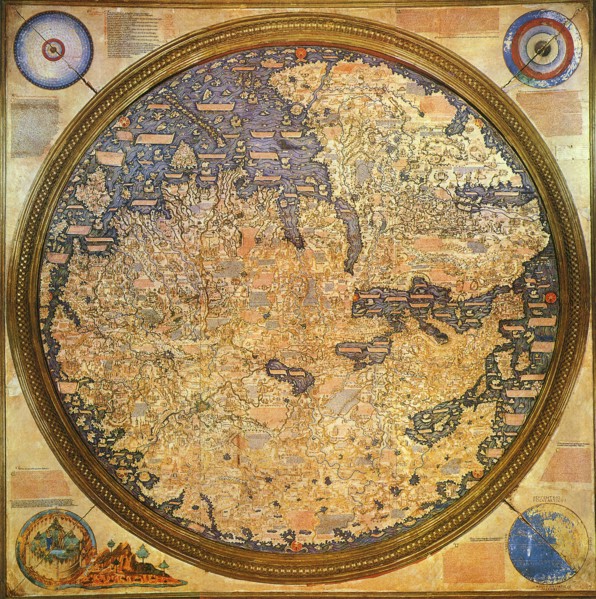
Islamic Renaissance Map 1459
UMG21A17_102
East Coast and Thames Estuary

UMG21A17_367
Map showing Ptolemy 1507
UMG21A17_229
Great Britain and Scotland
UMG21A17_298
Aztec, Incan Capitals 1528
UMG21A17_370
First World Map in Whole 1508
UMG21A17_371
Heart-Shaped World Map 1530
- Page
-
- sur
- 3