Sujet
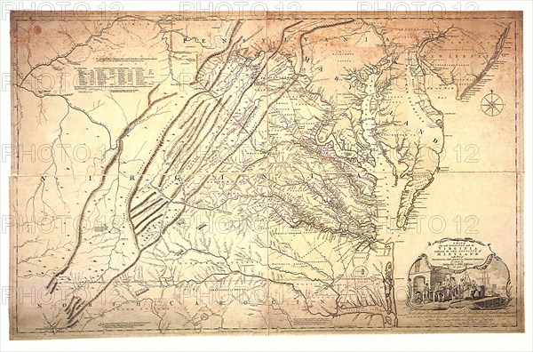
A Map of the most Inhabited part of Virginia.
Légende
Map of Virginia and Maryland 1751.
Date
01 févr. 1754
Crédit
Photo12/UIG/Picture Now
Notre référence
UMG22A69_264
Model release
Non
Property release
Non
Licence
Droits gérés
Format disponible
17.8Mo (1.6Mo) / 26.0cm x 17.2cm / 3072 x 2028 (300dpi)