5 résultats pour : 1750s america
- Page
-
- sur
- 1
Connectez-vous pour plus de résultats
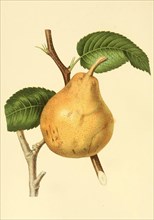
UMG22A61_402
The Glo Morceau Pear
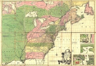
UMG22A24_479
Vintage Maps / Antique Maps - A map of the British...
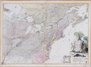
UMG22A30_048
Vintage Maps / Antique Maps - Theatrum belli in Am...
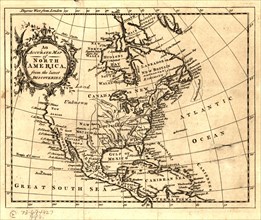
UMG22A26_042
ca. 1750s - An Accurate map of North America from ...
UMG22A07_161