35 résultats pour : u.s. topographical
- Page
-
- sur
- 1
Connectez-vous pour plus de résultats
LZT20A34_356
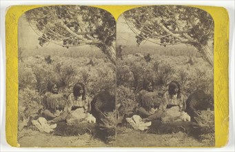
Utah Ute Indian and Lady Courting in N.E. Utah, fr...

LZT19A51_039
Nuremberg Chronicle: Topographical View of Basle,...
LZT16A13_103
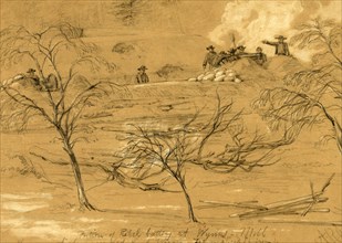
Portion of Rebel battery at Wynns Mill. The gun wh...
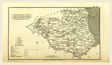
LZT16A62_190
A Topographical Dictionary of the United Kingdom, ...
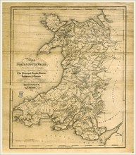
LZT16A62_298
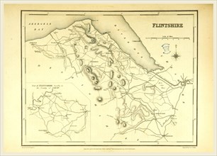
A Topographical Dictionary of Wales, Flintshire, 1...
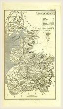
LZT16A62_179
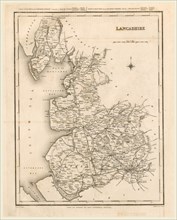
Lancashire map 1824, A Topographical Dictionary of...
LZT16A62_189
Oxfordshire, map, A Topographical Dictionary of th...
LZT16A62_198
A Topographical Dictionary of the United Kingdom, ...
LZT16A62_206
Cambridgeshire map, A Topographical Dictionary of ...
LZT16A62_450
A Topographical Dictionary of England, Lancashire,...
LZT16A63_236
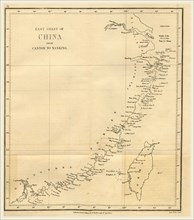
Topographical Map of the East coast of China from ...
LZT16A63_101
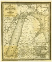
Map, History of Michigan, 1839, civil and topograp...
LZT16A62_193
A Topographical Dictionary of the United Kingdom, ...
LZT16A62_194
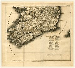
Province of Ulster 1824, A Topographical Dictionar...
LZT16A62_203
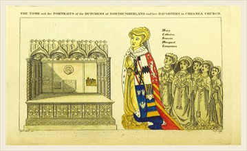
The tomb and portraits of the Dutchess of Northumb...
LZT16A62_202
A Topographical Dictionary of the United Kingdom, ...
LZT16A62_301
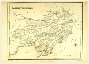
A Topographical Dictionary of Wales, Carmarthenshi...
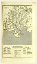
LZT16A62_182
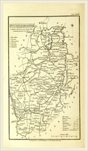
Hampshire, map 1824, A Topographical Dictionary of...
LZT16A62_312
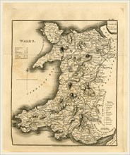
A Topographical Dictionary of Wales, map of North ...
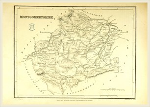
LZT16A62_334
A Topographical Dictionary of Wales, Montgomeryshi...
LZT16A61_447
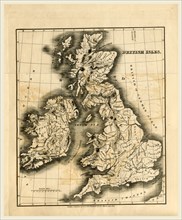
A Topographical and Historical Description of the ...
LZT16A62_181
A Topographical Dictionary of the United Kingdom, ...
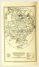
LZT16A62_183
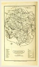
Huntingdon map, A Topographical Dictionary of the ...
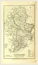
LZT16A62_186
Staffordshire, map 1824, A Topographical Dictionar...
LZT16A62_175
A Topographical Dictionary of the United Kingdom, ...
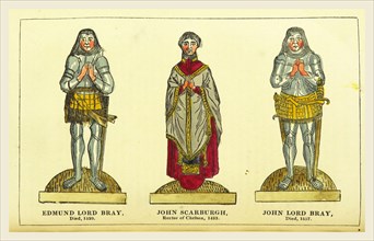
LZT16A62_176
Edmund Lord Bray, John Scarburgh, John Lord Bray, ...
LZT16A62_185
A Topographical Dictionary of the United Kingdom, ...
LZT16A62_213
A Topographical Dictionary of the United Kingdom, ...
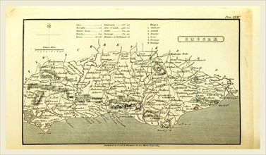
LZT16A62_188
Sussex, A Topographical Dictionary, United Kingdom...
LZT16A62_187
A Topographical Dictionary of the United Kingdom, ...
LZT16A62_299
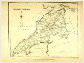
A Topographical Dictionary of Wales, Carnarvonshir...
LZT16A62_178
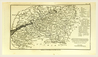
Hereford map, A Topographical Dictionary of the Un...
LZT16A62_209
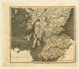
Scotland, map 1824, A Topographical Dictionary of ...
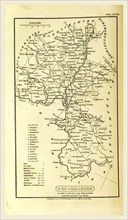
LZT16A62_211
Nottinghamshire, map, A Topographical Dictionary o...
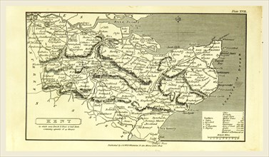
LZT13A27_269