13 résultats pour : detailed maps
- Page
-
- sur
- 1
Connectez-vous pour plus de résultats
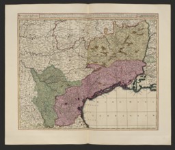
LZT26A06_312
Praefectura generalis Languedociae olim Occitania ...
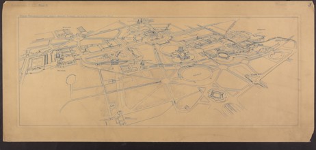
LZT26A32_430
Warsaw. 63rd Competition of the Circle of Architec...
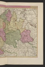
LZT26A06_295
Aurelianensis Praefectura generalis in qua partili...
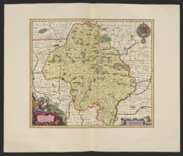
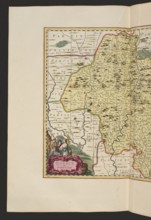
LZT26A06_308
Quercy olim Cadurcium; Gerard Valck 1651/1652–1726...
LZT26A06_309
Quercy olim Cadurcium, Valck, Gerard 1651 aut 1652...
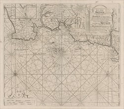
LZT16A27_394
Sea chart of part of the south coast of Brittany, ...
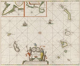
LZT16A27_450
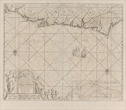
Sea chart of the Canary Islands, print maker: Jan ...
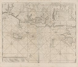
LZT16A27_393
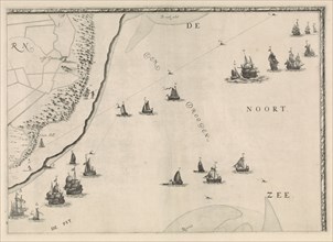
Sea chart of the coast of France between the islan...
LZT16A39_340
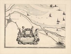
Map of Maassluis and the banks of the Meuse, The N...
LZT16A27_434
Sea chart of part of the Elbe, the Weser and Jadeb...
LZT16A39_341
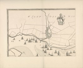
Map of Brielle and the banks of the Meuse, The Net...
LZT16A31_305
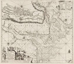
Map of the North Sea and the coast of Holland, Jac...
LZT16A27_389