Période

4 résultats pour : paris urban geography

  • Page
  • sur
  • 1
Connectez-vous pour plus de résultats
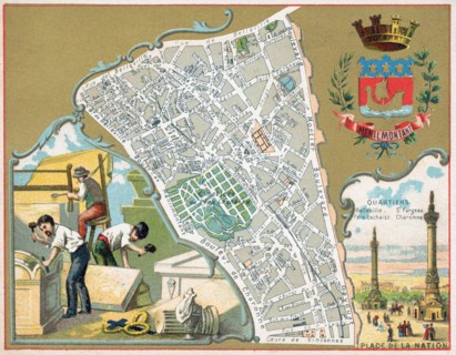
This vibrant 1888 French chromolithograph map illustrates the Menilmontant district of Paris, featuring intricate street details and topographical elements. It highlights significant quartiers like Be...
LMY26T04_3DHJK28

This vibrant 1888 French chromolithograph map illu...
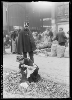
Les Halles in Paris appears in a 1917 press photograph during World War I, documenting the district identified by the source and placing it within the wartime setting of the French capital.
LMY26T03_3EMHE24

Les Halles in Paris appears in a 1917 press photog...
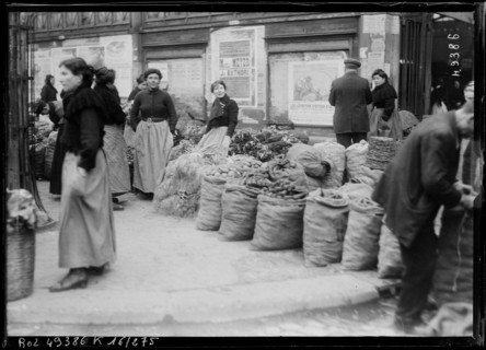
Les Halles district in Paris appears in a 1917 press photograph made during the First World War. The image records activity in the market district and documents a location associated with wartime Pari...
LMY26T03_3EMHE29

Les Halles district in Paris appears in a 1917 pre...

standing in line to enter the Paris Louvre, France
LMY25T01_CTY7JN

standing in line to enter the Paris Louvre, France