Sujet
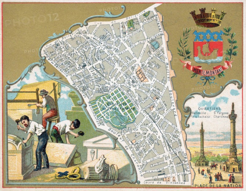
This vibrant 1888 French chromolithograph map illustrates the Menilmontant district of Paris, featuring intricate street details and topographical elements. It highlights significant quartiers like Belleville, Père Lachaise, and Charonne, juxtaposing detailed cartography with vignettes of workers and the Place de la Nation.
Info+
Photographe : Edward Roth
Date
01 janv. 1888
Crédit
Photo12/Alamy/Edward Roth
Notre référence
LMY26T04_3DHJK28
Utilisation
uniquement en France
Model release
Non
Property release
Non
Licence
Droits gérés
Format disponible
27.7Mo (2.1Mo) / 29.9cm x 23.3cm / 3529 x 2748 (300dpi)