24 résultats pour : nautical map
- Page
-
- sur
- 1
Connectez-vous pour plus de résultats
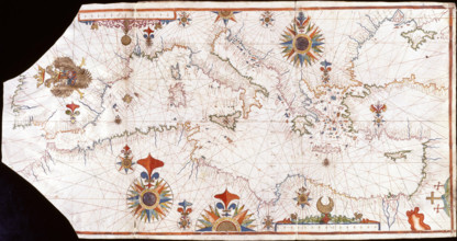
HRM25A47_071
Nautical chart of the Mediterranean Sea, Early16th...
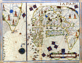
HRM25A48_491
Nautical chart of Japan and Korea, 1568. Creator: ...
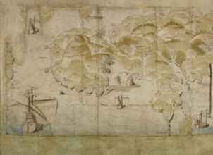
HRM25A23_433
Detail (left-hand end) of a panoramic map of the c...
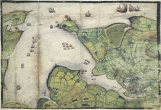
HRM25A16_377
Coloured manuscript plan of Falmouth Haven, or Har...
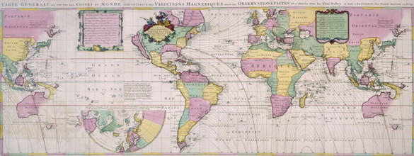
HRM25A14_177
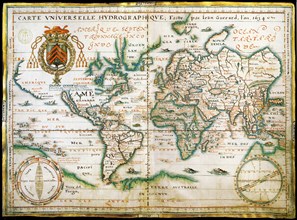
Map of the World, c1701. Nautical table showing ma...
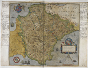
HRM25A16_380
Printed map of Devon, dated 1575, with marginal no...
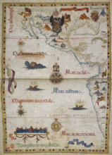
HRM25A16_391
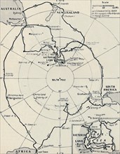
The eastern Pacific Ocean with Central America and...
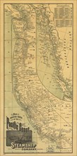
HRM24A00_072
Map showing routes of the Pacific coast Steamship ...

HRM23B24_283
The Sailors' Home at Great Yarmouth, 1861. Creator...
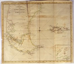
HRM23A21_204
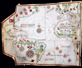
Coloured nautical chart of the end of South Americ...
HRM23A21_199
Facsimile of the Catalan Atlas of 1375, preserved ...

HRM19F37_371
'Mercator', (1512-1594), 1830. Creator: Unknown.
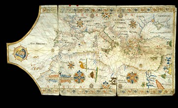
HRM19F13_197
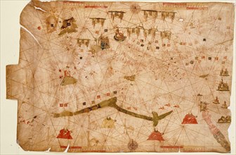
Portolan chart of the Mediterranean Sea, the Black...
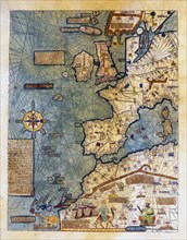
HRM19E94_405
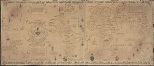
Nautical chart called 'King-Hamy', 1502, attribute...
HRM19E20_143
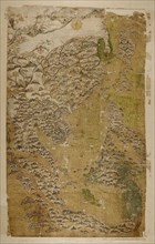
The Selden Map of China. Artist: Chinese Master
HRM19E53_405
Nautical chart, 1558.
HRM19E62_268
Nautical world map. (Australia is suggested but st...
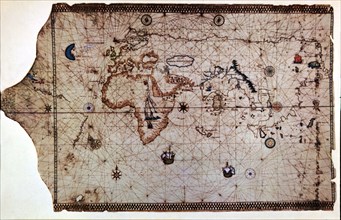
HRM19E20_131
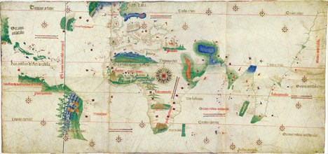
The Cantino planisphere, 1502. Artist: Anonymous m...
HRM19E20_132
World Map (Propoganda), 1529. Artist: Ribeiro, Dio...
HRM19E53_337
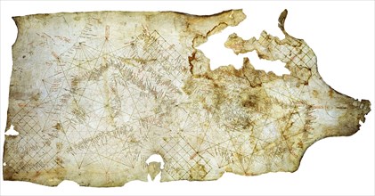
Nautical chart of the Mediterranean Sea, 1508.
HRM19E20_128
Carta Pisana, ca 1275-1300. Artist: Anonymous mast...
HRM19E20_483
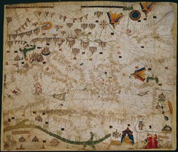
Nautical chart of the Mediterranean Sea and the Bl...
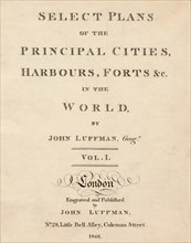
HRM19C81_185
'Select Plans of the Principal Cities, Harbours & ...
HRM19D39_477