3460 résultats pour : making
- Page
-
- sur
- 35
Connectez-vous pour plus de résultats
HRM26A23_011
George Eastman, late 19th century. Creator: Paul N...
HRM26A24_386
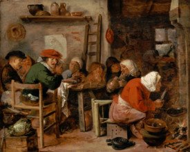
A Woman Making Pancakes, 1630. Creator: Adriaen Br...
HRM26A25_285
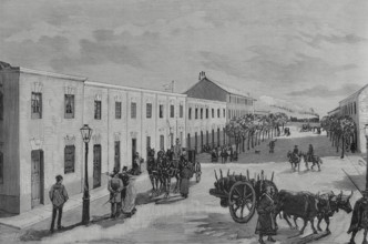
Economic houses for workers built by 'La Construct...
HRM26A26_179
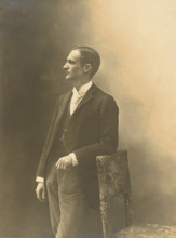
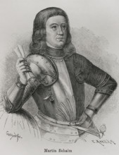
Martin Behaim, (1459-1507), German textile merchan...

HRM26A22_031
Musiciens jouant pendant douze heures ..., 19th ce...
HRM26A25_332
Cem Sultan, (1459-1495), Ottoman prince, son of Su...
HRM26A26_197
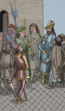
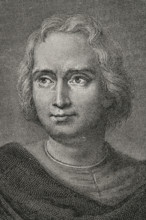
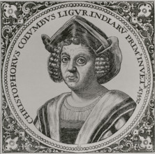
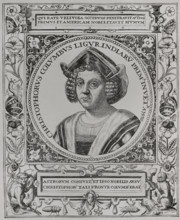
Christopher Columbus, (1451-1506), Navigator, cart...
HRM26A28_261
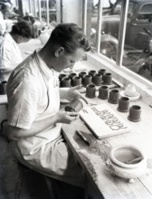
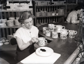
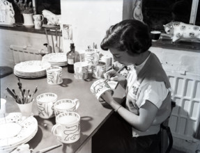
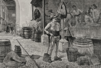
Wedgwood pottery production, Staffordshire, c1953....
HRM26A21_374
L'eau est délicieuse... je t'assure que tu as bien...
HRM26A26_196
Christopher Columbus, (1451-1506), Navigator, cart...
HRM26A28_260
Wedgwood pottery production, Staffordshire, c1953....
HRM26A24_478
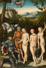
The judgements of Paris, 1528. Creator: Lucas Cran...
HRM26A26_198
Christopher Columbus, (1451-1506), Navigator, cart...
HRM26A28_424
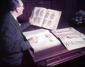
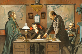
Mr. Mitchell (Herald Painter) in Records Room, Col...
HRM26A24_482
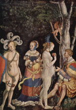
Judgement of Paris by Niklaus Manuel, 1517. Creato...
HRM26A26_195
Christopher Columbus, (1451-1506), Navigator, cart...
HRM26A28_259
Wedgwood pottery production, Staffordshire, c1953....
HRM26A21_493
Le sauvage Bineau faisant son entrée comme ministr...
HRM26A28_258
Wedgwood pottery production, Staffordshire, c1953....
HRM26A14_399
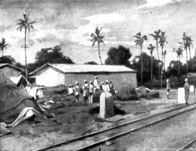
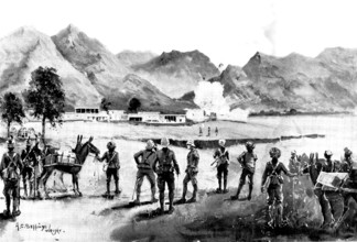
Reinforcements for Uganda: arrival of an Indian Co...
HRM26A15_159
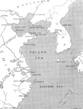
The Chinese Question: map showing positions of chi...
HRM26A16_063
The Duke and Duchess of York at the Agricultural S...
HRM26A12_246
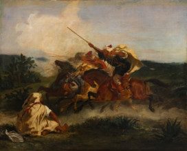
Fantasia arabe, 1833. Creator: Eugene Delacroix.
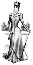
HRM26A14_373
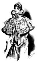
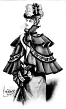
Ladies' Page: a chic opera-cape, 1898. Creator: Pi...
HRM26A14_400
Reinforcements for Uganda: arrival of an Indian Co...
HRM26A15_362
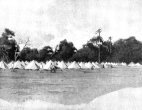
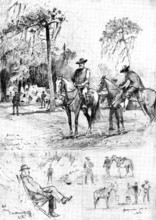
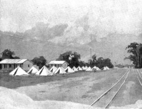
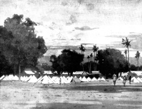
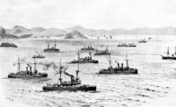
The Spanish-American War: scenes in camp at Tampa,...
HRM26A14_412
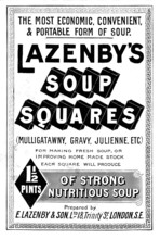
Advertisement for Lazenby's Soup Squares, 1898. Cr...
HRM26A14_401
Reinforcements for Uganda: arrival of an Indian Co...
HRM26A15_240
The Spanish-American Crisis: views of Havana, the ...
HRM26A20_121
Cem Sultan, (1459-1495) imprisoned in Rome, 1495 (...
HRM26A21_109
Christopher Columbus, (1451-1506), Navigator, cart...
HRM26A14_366
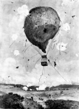
The recent Military Balloon Experiments in Germany...
HRM26A14_402
Reinforcements for Uganda: arrival of an Indian Co...
HRM26A19_388
Making a Wish for a Long Life on Chrysanthemums, 1...
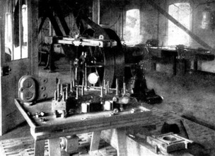
HRM26A14_403
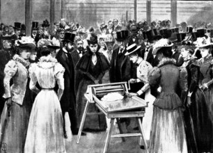
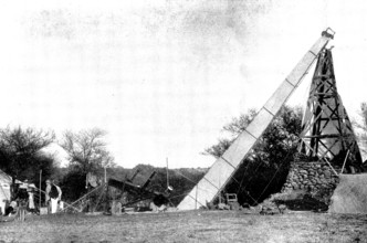
Mr. Crowden's original experimental apparatus, sho...
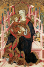
HRM26A12_314
Virgin and Child Enthroned with Angels Making Musi...
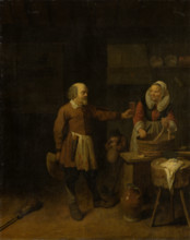
HRM26A13_279
A Butcher Offering a Woman a Glass of Beer, 1639. ...
HRM26A15_156
The Chinese Question: the Treaty Port Chefoo - vie...
HRM26A16_114
The Spanish-American War: loading the United State...
HRM26A14_314
Ladies' Page: a fur-trimmed cape, 1898. Creator: P...
HRM26A14_386
The Reinforcements for Uganda: officers of the Arm...
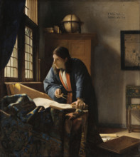
HRM26A13_311
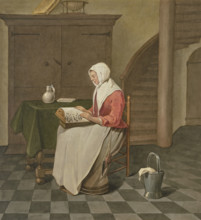
The Geographer, 1669. Creator: Jan Vermeer.
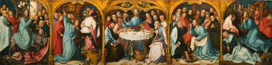
HRM26A14_069
Predella of the High Altarpiece of the Dominican C...
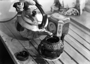
HRM26A17_166
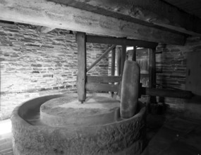
Making tea, c1955. Creator: Arthur Charles Kirby W...
HRM26A15_399
Ladies' Page: a new race-coat, 1898. Creator: Pica...
HRM26A11_246
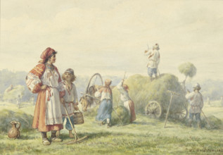
Hay harvest in Russia, 1875. Creator: Wilhelm Aman...
HRM26A14_427
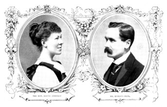
The Marriage of the Hon. Alicia Amherst and Mr. Ev...
HRM26A14_428
The Indian Frontier Rising: with the Buner Field F...
HRM26A13_192
A female lace maker, c1700s. Creator: Unknown.
HRM26A15_153
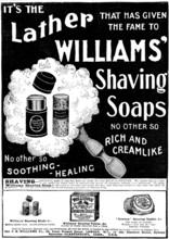
Advertisement for Williams' Shaving Soaps, 1898. C...
HRM26A14_484
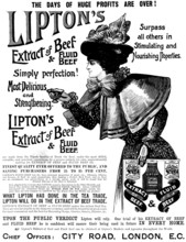
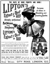
Advertisement for Lipton's Extract of Beef & Fluid...
HRM26A20_241
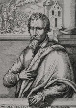
Michael Servetus, (1511-1553), Spanish physician a...
HRM26A20_303
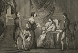
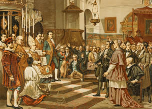
King Ferdinand VII, (1784-1833) hands over Doña Ma...
HRM26A20_137
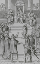
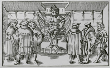
Trial of the Constable of Bourbon before the court...
HRM26A14_450
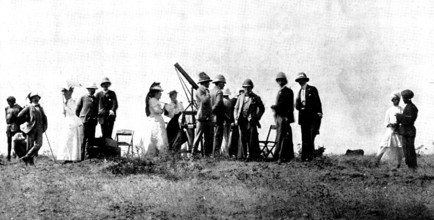
The Total Eclipse of the Sun: Sir Arthur Havelock ...
HRM26A16_333
Mary Arden's House at Wilmcote, Stratford-on-Avon,...
HRM26A17_070
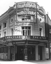
Entrance to the Ambassadors Theatre, West Street, ...
HRM26A14_398
Reinforcements for Uganda: arrival of an Indian Co...
HRM26A14_451
The Total Eclipse of the Sun: the Lick Telescope, ...
HRM26A14_298
Of Making Many Books There is No End, and Much Stu...
HRM26A14_452
The Total Eclipse of the Sun: group...at the railw...
HRM26A10_332
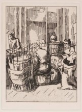
Men and Women with Baskets, c1930s. Creator: Thérè...
HRM26A15_157
The Chinese Question: view of Chefoo Bay, 1898. C...
HRM26A20_394
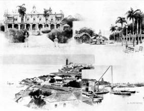
The grape harvest in Jerez, Andalusia, Spain, 1898...
HRM26A20_427
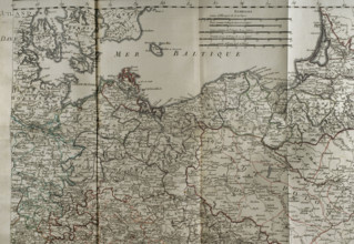
Map of the Baltic Sea coast, Prussia and Poland - ...
HRM26A15_207
The Chinese Question: the German Occupation of Kia...
HRM26A16_330
Mary Arden's House at Wilmcote, Stratford-on-Avon,...
HRM26A20_292
The Heavy Stone - episode from the life of Saint B...
HRM26A12_480
Calling and Martyrdom of Saint Matthew, c1315-1360...
HRM26A15_056
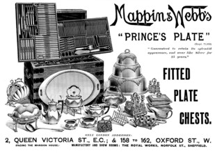
Advertisement for Mappin & Webb, 1898. Creator: Un...
HRM26A15_223
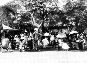
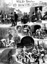
With an Easter Marching Detachment, 1898. Creator:...
HRM26A11_225
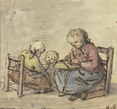
Three girls, the oldest making lace, c1650-1660. C...
HRM26A14_446
Advertisement for Lipton's Extract of Beef and Flu...
HRM26A19_350
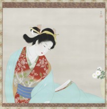
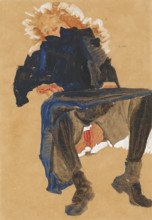
Reclining Girl in a Blue Dress, 1910. Creator: Sch...
HRM26A20_312
Confession for amends before the tribunal, 1556, (...
HRM26A00_400
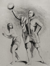
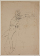
Figure Study for Prometheus, 1846 or 1847. Creator...
HRM26A02_379
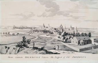
The Prospect of Old Aberdeen, 1814. Creator: Unkno...
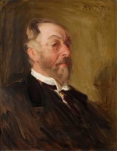
HRM26A03_380
John Hay, c1896. Creator: Robert Brough.
HRM26A07_272
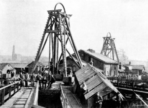
The Disastrous Flooding of Audley Colliery; entran...
HRM26A07_364
The Loss of the North German Lloyd steam-ship "Elb...
HRM26A08_339
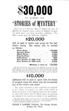
Advertisement - request for authors by the "Chicag...
HRM26A09_172
Adam Johnstone's Son: Goodbye he said, holding out...
HRM26A05_362
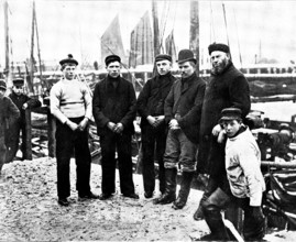
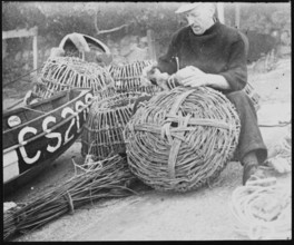
A fisherman making lobster pots at Steephill Cove,...
HRM26A05_409
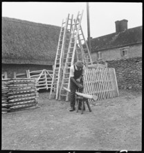
Man making a willow ladder in the village of Aston...
HRM26A08_336
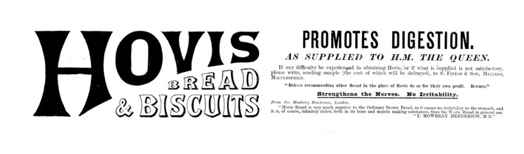
Advertisement for Hovis Bread & Biscuits, 1895. Cr...
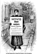
HRM26A08_415
Advertisement for Hovis Bread and Biscuits, 1895. ...
HRM26A00_447
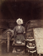
Making Raw Silk, c.between 1885 and 1900. Creator:...
HRM26A05_401
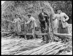
Osier strippers in Baughurst, peeling withies for ...
HRM26A05_410
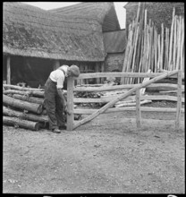
Man making a field gate in the village of Aston, C...
HRM26A06_050
Oath of the deputies to the Extraordinary and Gene...
HRM26A06_169
Napoleon III, (Louis Napoleon Bonaparte) (1808-187...
HRM26A06_202
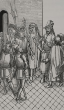
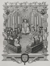
The Court of a Baron, 1552, (1878). Creator: Unkn...
HRM26A07_362
Loss of the North German Lloyd steam-ship "Elbe": ...
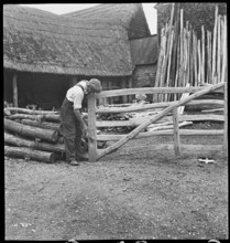
HRM26A05_411
Man making a field gate in the village of Aston, C...
HRM26A06_150
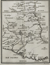
Map of the territory of New Spain, 1771. Creator:...
HRM26A02_436
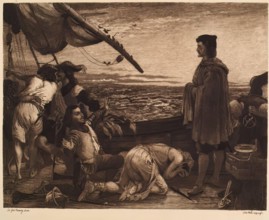
Dawn Revealing the New World to Columbus, (c1852),...
HRM26A05_412
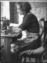
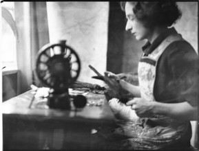
A glover or glove maker working at a sewing machin...
HRM26A04_043
King's College, Aberdeen, 1881. Creator: Alexander...
HRM26A05_413
A glover or glove maker working at a sewing machin...
HRM26A00_268
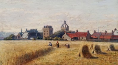
English Town, c1790-1840. Creator: George Shephear...
- Page
-
- sur
- 35