544 résultats pour : water map
- Page
-
- sur
- 6
Connectez-vous pour plus de résultats
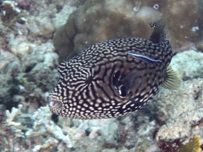
BRK26C66_135
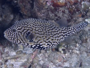
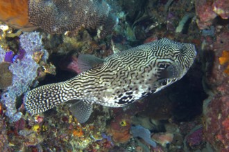
A dotted map pufferfish (Arothron mappa) swimming ...
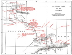
BRK26C98_244
The Gobi Desert with Lop Nur or Lop Nor, East Asia...
BRK26C85_048
Oberhausen, North Rhine-Westphalia, Germany, Gasom...
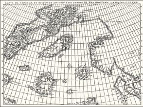
BRK26C88_158
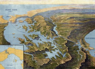
Facsimlile of the Zeno map by the Zeno brothers, N...
BRK26D00_438
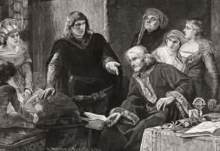
Martin von Behaim, German astronomer, showing his ...
BRK26C29_041
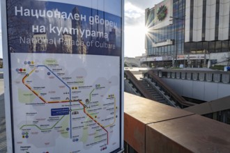
Sofia, Bulgaria. November 22nd 2025. Sofia city me...
BRK26B68_051
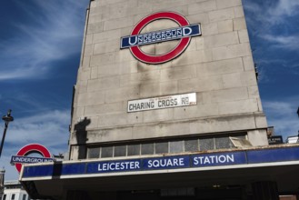
London, United Kingdom, June 28th 2022 Leicester S...
BRK26C19_086
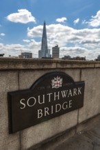
London, United Kingdom. July 9th 2022 Sign for the...
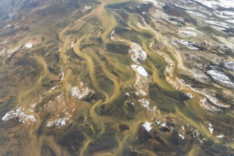
BRK26C15_272
Aerial view of Iceland's rivers showcasing intrica...
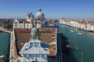
BRK26C35_425
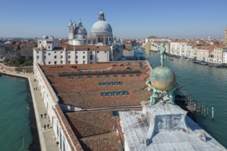
Drone footage of the Dogana da Mar, moving wind va...
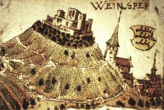
BRK26B77_136
Weinsberg is a town in the district of Heilbronn, ...
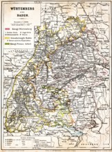
BRK26B81_480
Colored topographic map of the Kingdom of Würtembe...
BRK26B81_482
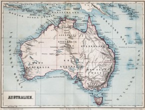
Color topographic map of the island of Australia, ...
BRK26B85_084
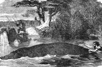
Hippopotamus (Hippopotamus amphibius) river, swim,...
BRK26B85_085
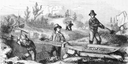
Gold seekers mining, USA, hilly landscape, mineral...
BRK26B12_232
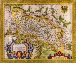
Map of Silesia as described by Martin Helwig from ...
BRK26B06_100
Drone footage of the Dogana da Mar, moving wind va...
BRK26B16_261
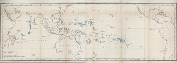
First map of the worldwide distribution of coral r...
BRK26B17_267
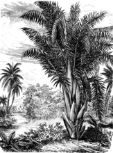
Vine palm, Raphia, palm family (Arecaceae), occurr...
BRK26A75_381
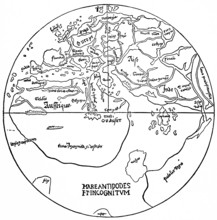
World map from the 15th century, earth with the th...
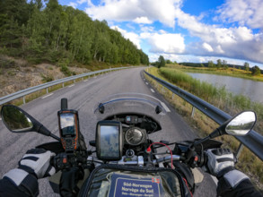
BRK26A81_161
A motorcyclist's view of an empty country road sur...
BRK26A05_086
Panama Canal in 1913, map, Panama, authentic repro...
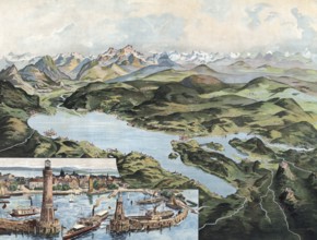
BRK26A07_337
Lake Constance with Lindau and Alpine Range, Swabi...
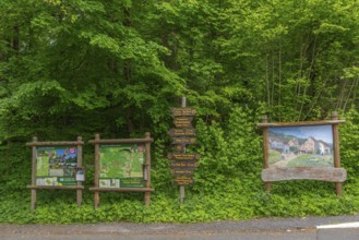
BRK26A50_007
Signposts with directions for hiking trails and pr...
BRK25M47_103
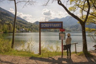
Lake Kochel, tourist reads the navigation map, Koc...
BRK25M47_106
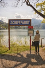
Lake Kochel, tourist reads the navigation map, Koc...
BRK25M94_255
Puzzle globe. Map made from puzzle pieces. Russia....
BRK25M60_210
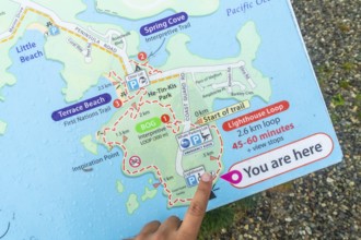
Tourist pointing at you are here indicator on a we...
BRK25M80_137
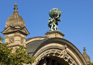
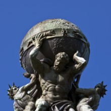
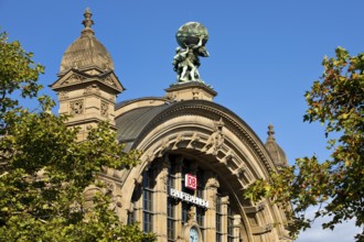
Main front of the main railway station with Atlas ...
BRK25M31_033
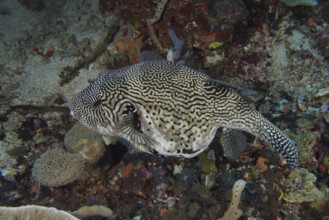
A large patterned pufferfish, map pufferfish (Arot...
BRK25M31_031
Map pufferfish (Arothron mappa) with complex black...
BRK25M31_062
A black-and-white patterned pufferfish, map puffer...
BRK25M48_035
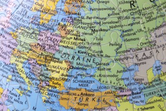
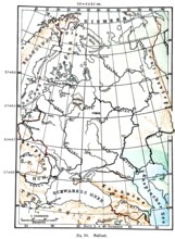
Russia, historical geographical map, topography, A...
BRK25M48_033
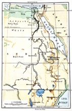
The Nile, historical geographical map, topography,...
BRK25L78_248
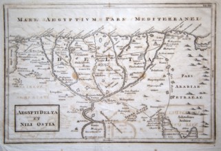
Map of River Nile delta and Mediterranean coast, E...
BRK25L82_327
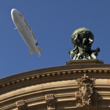
Main front of the main railway station with Atlas ...
BRK25L82_330
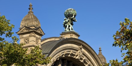
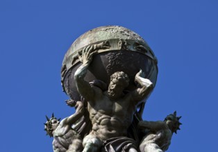
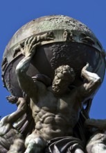
Atlas, carrying the globe, supported by steam and ...
BRK25L54_500
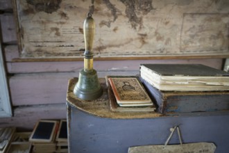
Bell and teacher's desk, old map in the background...
BRK25L15_021
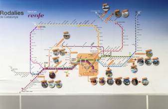
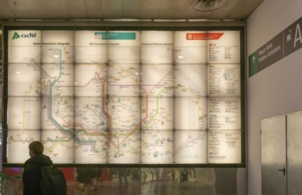
Rodalies de Catalunya rail network map services op...
BRK25L42_469
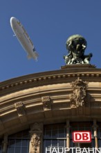
Main front of the main railway station with Atlas ...
BRK25L42_476
Main front of the main railway station with Atlas ...
BRK25L42_473
Main front of the main railway station with Atlas ...
BRK25L42_455
Atlas, carrying the globe, supported by steam and ...
BRK25L42_474
Atlas, carrying the globe, supported by steam and ...

BRK25K53_422
Rodalies de Catalunya, Rodalia de Barcelona suburb...

BRK25K53_413
Rodalies de Catalunya rail network map services op...
BRK25K53_424
Integrated railway network system map operated by ...
BRK25K87_298
Aerial view, villa hill and hill park with autumna...
BRK25K52_480
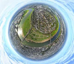
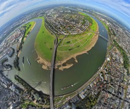
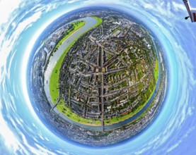
Aerial view, town view of Wesel, Rhine river and W...
BRK25K52_477
Aerial view, town view of Wesel, Rhine river and W...
BRK25K87_307
Aerial view, residential area town view Werden dis...
BRK25K87_318
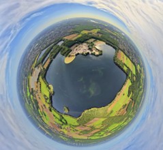
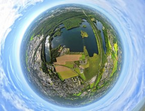
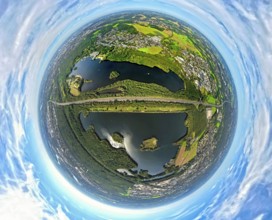
Aerial view, Lake Baldeney with dam RWE hydroelect...
BRK25K87_270
Aerial view, Lake Baldeney with dam RWE hydroelect...
BRK25K87_313
Aerial view, residential area town view Werden dis...
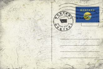
BRK25K01_156
Montana Great Falls Round Seal Map Design

BRK25J92_494
A serene desert landscape painting depicts a river...
BRK25J73_122
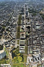
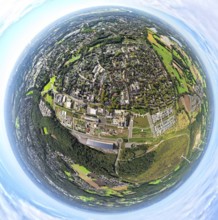
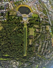
Aerial view, Königsallee with tree avenue, city ce...
BRK25J81_405
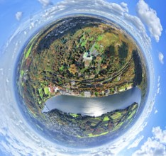
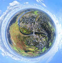
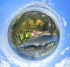
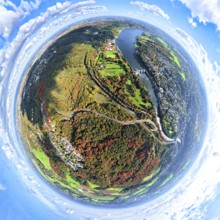
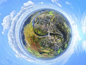
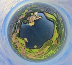
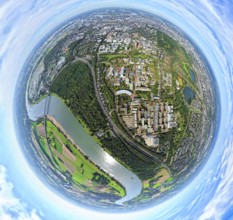
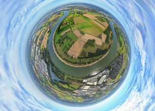
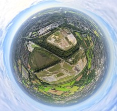
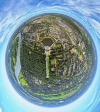
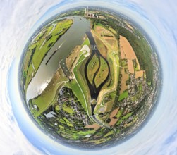
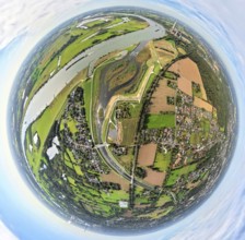
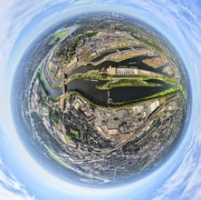
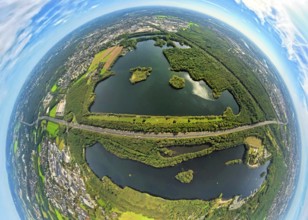
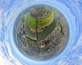
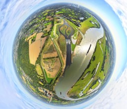
Aerial view, Tenderingssee and lido, globe, fishey...
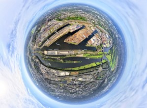
BRK25J86_249
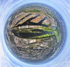
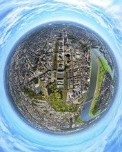
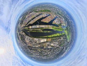
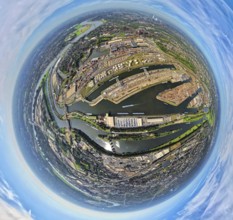
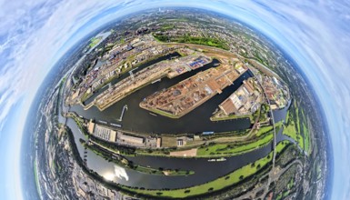
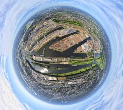
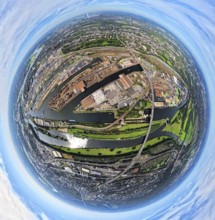
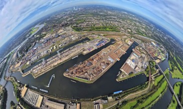
Aerial view, Duisburg-Ruhrort harbour with oil isl...
BRK25J72_007
Aerial photo, Heinrich-Heine-University at the riv...
BRK25J73_119
Aerial view, old town and Königsallee with tree av...
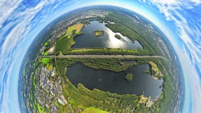
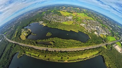
BRK25J81_404
Aerial view, Tenderingssee and lido, globe, fishey...
BRK25J86_250
Aerial view, Duisburg-Ruhrort harbour with oil isl...
BRK25J71_364
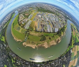
Aerial view, Himmelgeister Rheinbogen nature reser...
BRK25J81_299
Aerial view, Emscher Hangpark and tailings pile wi...
BRK25J86_257
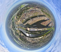
Aerial view, Duisburg-Ruhrort harbour with oil isl...
BRK25J86_259
Aerial view, Duisburg-Ruhrort harbour with oil isl...
BRK25J71_344
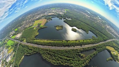
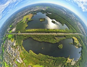
Aerial photo, Elbsee and Unterbacher See with fore...
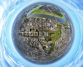
BRK25J73_112
Aerial view, old town and Königsallee with tree av...
BRK25J81_358
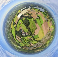
Aerial view, meadows and fields Tenderingsweg at B...
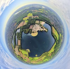
BRK25J81_406
Aerial view, Tenderingssee and lido, globe, fishey...
BRK25J86_277
Aerial view, Duisburg-Ruhrort harbour with oil isl...
BRK25J71_341
Aerial photo, Elbsee and Unterbacher See with fore...
BRK25J71_365
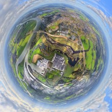
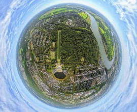
Aerial view, Benrath Castle with castle park and c...
BRK25J73_067
Aerial view, district Oberkassel with Festwiese Ob...
BRK25J81_331
Aerial view, Emscher renaturalisation river Emsche...
BRK25J81_342
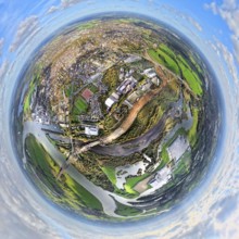
Aerial view, residential area Lohberg district, be...
BRK25J86_253
Aerial view, Duisburg-Ruhrort harbour with oil isl...
BRK25J86_275
Aerial view, harbour Duisburg-Ruhrort with oil isl...
BRK25J71_342
Aerial photo, Elbsee and Unterbacher See with fore...
BRK25J71_367
Aerial view, Benrath Castle with castle park and c...
BRK25J73_068
Aerial view, district Oberkassel with Festwiese Ob...
BRK25J73_088
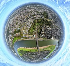
Aerial view, district Oberkassel and river Rhine, ...
BRK25J81_365
Aerial view, Emscher renaturalisation river Emsche...
BRK25J86_251
Aerial view, Duisburg-Ruhrort harbour with oil isl...
BRK25J86_258
Aerial view, harbour Duisburg-Ruhrort with oil isl...
BRK25J71_419
Aerial photo, Elbsee and Unterbacher See with fore...
BRK25J73_014
Aerial view, horticulture and agricultural use in ...
BRK25J73_069
Aerial view, district Oberkassel with Festwiese Ob...
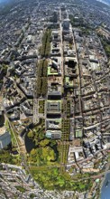
BRK25J73_120
Aerial view, Königsallee with tree avenue, city ce...
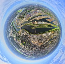
BRK25J86_276
Aerial view, harbour Duisburg-Ruhrort with oil isl...
BRK25J71_371
Aerial photo, Elbsee and Unterbacher See with fore...
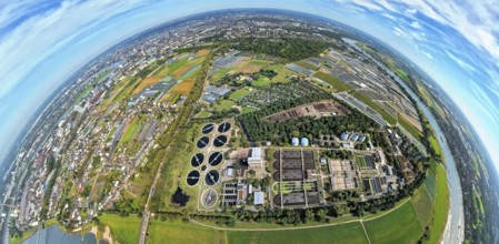
BRK25J72_032
Aerial view, sewage treatment plant Düsseldorf-Süd...
BRK25J86_248
Aerial view, Duisburg-Ruhrort harbour with oil isl...
BRK25J71_418
Aerial photo, Elbsee and Unterbacher See with fore...
BRK25J73_037
Aerial view, horticulture and agricultural use in ...
BRK25J71_380
Aerial photo, Elbsee and Unterbacher See with fore...
BRK25J71_368
Aerial view, Benrath Castle with castle park and c...
BRK25J73_192
Aerial view, river Rhine with Tonhalle at the Rhin...
BRK25J81_334
Aerial view, Emscher renaturalisation river Emsche...
- Page
-
- sur
- 6