Légende
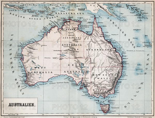
Color topographic map of the island of Australia, latitude, longitude, topography, Tasmania, Lesser Sunda Islands, coral sea, Indian Ocean, Australian states, Alexandra, Vistoria, historical map from 1876
Date
27 janv. 2026
Crédit
Photo12/imageBROKER/Wolfgang Diederich
Notre référence
BRK26B81_482
Model release
Non
Property release
Non
Licence
Libre de droits
Format disponible
76.5Mo (8.4Mo) / 50.3cm x 38.1cm / 5936 x 4503 (300dpi)