1835 résultats pour : ruhr meadow
- Page
-
- sur
- 19
Connectez-vous pour plus de résultats
BRK26C61_250
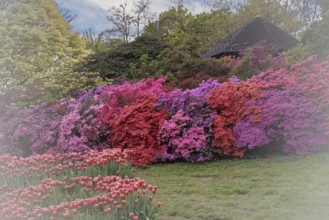
Rhododendron occidentale (Rhododendron occidentale...
BRK26C83_339
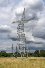
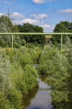
Emscherkunst, artwork Zauberlehrling by the Berlin...
BRK26C66_280
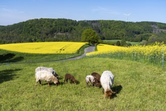
Sheep, lambs, on a field next to rape fields in fu...
BRK26C65_108
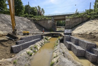
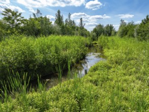
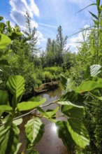
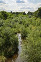
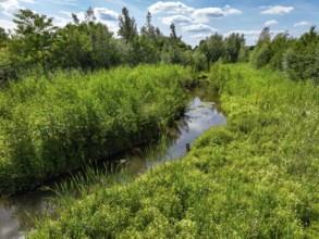
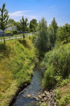
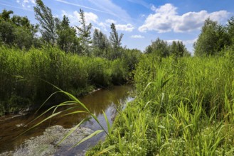
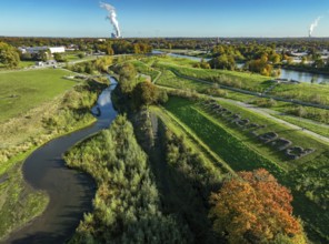
Bottrop, North Rhine-Westphalia, Germany, Renatura...
BRK26C77_167
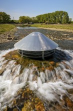
Haltern, North Rhine-Westphalia, Germany, flood pr...
BRK26C25_467
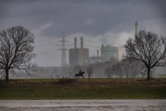
Riders on the banks of the Rhine opposite Krefeld-...
BRK26C25_466
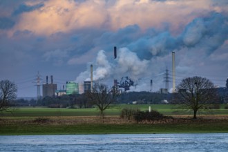
Hüttenwerke Krupp-Mannesmann, HKM in Duisburg-Hütt...
BRK26C49_299
Bottrop, North Rhine-Westphalia, Germany - Renatur...
BRK26C49_298
Bottrop, North Rhine-Westphalia, Germany - Renatur...
BRK26C49_449
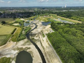
Dortmund, Castrop-Rauxel, North Rhine-Westphalia, ...
BRK26B60_418
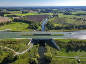
Kanalbrücke Lippe Neue Fahrt, Dortmund-Ems Canal, ...
BRK26B95_284
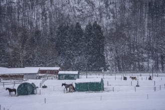
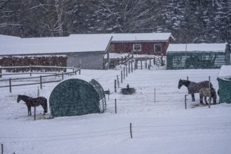
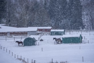
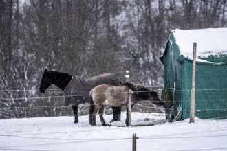
Horses in a paddock, snowy in winter, snowfall, in...
BRK26B30_018
Horses in a paddock, snowy in winter, snowfall, in...
BRK26B31_196
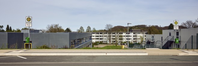
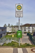
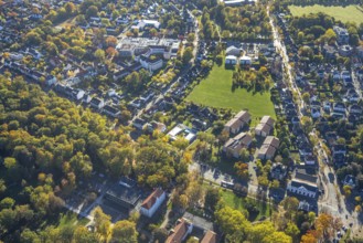
School bus stop, Hauptschule Mathilde - Anneke - s...
BRK26B41_095
Bottrop, North Rhine-Westphalia, Germany - Renatur...
BRK26B41_096
Bottrop, North Rhine-Westphalia, Germany - Renatur...
BRK26B41_094
Bottrop, North Rhine-Westphalia, Germany - Renatur...
BRK26B41_421
Dortmund, Castrop-Rauxel, North Rhine-Westphalia, ...
BRK26A74_094
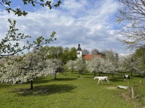
Orchard with blossoming apple trees and village ch...
BRK26A74_090
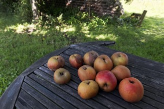
Apples from a traditional orchard are lying on an ...
BRK26A75_163
Horses in a paddock, snowy in winter, snowfall, in...
BRK26A89_300
Recklinghausen, North Rhine-Westphalia, Germany - ...
BRK26A89_301
Recklinghausen, North Rhine-Westphalia, Germany - ...
BRK26A89_416
Dortmund, Castrop-Rauxel, North Rhine-Westphalia, ...
BRK26A03_230
Horses in a paddock, snowy in winter, snowfall, in...
BRK26A31_029
Bottrop, North Rhine-Westphalia, Germany - Renatur...
BRK26A31_223
Dortmund, Castrop-Rauxel, North Rhine-Westphalia, ...
BRK26A10_119
School bus stop, public trash can, general archite...
BRK26A31_032
Bottrop, North Rhine-Westphalia, Germany - Renatur...
BRK26A30_235
Recklinghausen, North Rhine-Westphalia, Germany - ...
BRK26A10_118
School bus stop, Hauptschule Mathilde - Anneke - s...
BRK26A30_234
Recklinghausen, North Rhine-Westphalia, Germany - ...
BRK26A31_030
Bottrop, North Rhine-Westphalia, Germany - Renatur...
BRK26A31_031
Bottrop, North Rhine-Westphalia, Germany - Renatur...
BRK25M63_355
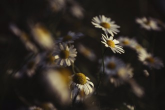
Chamomile (Matricaria sp.) artistic shot of severa...

BRK25M01_041
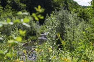
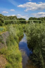
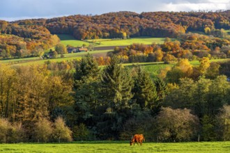
Autumn landscape in Elfringhauser Switzerland, sou...
BRK25M01_040
Autumn landscape in Elfringhauser Switzerland, sou...

BRK25M74_057
Autumn landscape in Elfringhauser Switzerland, sou...

BRK25M01_032
Autumn landscape in Elfringhauser Switzerland, sou...
BRK25M16_093
Recklinghausen, North Rhine-Westphalia, Germany - ...

BRK25M82_351
Recklinghausen, North Rhine-Westphalia, Germany - ...
BRK25M16_094
Recklinghausen, North Rhine-Westphalia, Germany - ...

BRK25M84_452
Dortmund, Castrop-Rauxel, North Rhine-Westphalia, ...
BRK25M84_110
Bottrop, North Rhine-Westphalia, Germany - Renatur...

BRK25M84_111
Bottrop, North Rhine-Westphalia, Germany - Renatur...

BRK25M84_113
Bottrop, North Rhine-Westphalia, Germany - Renatur...

BRK25M84_453
Dortmund, Castrop-Rauxel, North Rhine-Westphalia, ...

BRK25M19_453
Dortmund, Castrop-Rauxel, North Rhine-Westphalia, ...
BRK25M82_352
Recklinghausen, North Rhine-Westphalia, Germany - ...

BRK25M19_454
Dortmund, Castrop-Rauxel, North Rhine-Westphalia, ...
BRK25M84_112
Bottrop, North Rhine-Westphalia, Germany - Renatur...
BRK25L64_142
Autumn landscape in Elfringhauser Switzerland, sou...
BRK25L64_141
Autumn landscape in Elfringhauser Switzerland, sou...
BRK25L64_132
Autumn landscape in Elfringhauser Switzerland, sou...
BRK25L94_152
Bottrop, North Rhine-Westphalia, Germany - Renatur...
BRK25L94_153
Bottrop, North Rhine-Westphalia, Germany - Renatur...
BRK25L94_150
Bottrop, North Rhine-Westphalia, Germany - Renatur...
BRK25L71_239
Bottrop, North Rhine-Westphalia, Germany - Autumn ...
BRK25L89_370
Recklinghausen, North Rhine-Westphalia, Germany - ...
BRK25L71_241
Castrop-Rauxel, North Rhine-Westphalia, Germany - ...
BRK25L94_154
Bottrop, North Rhine-Westphalia, Germany - Renatur...
BRK25L71_240
Castrop-Rauxel, North Rhine-Westphalia, Germany - ...
BRK25L89_369
Recklinghausen, North Rhine-Westphalia, Germany - ...
BRK25L94_151
Bottrop, North Rhine-Westphalia, Germany - Renatur...
BRK25L94_155
Bottrop, North Rhine-Westphalia, Germany - Renatur...
BRK25L97_372
Dortmund, Castrop-Rauxel, North Rhine-Westphalia, ...
BRK25L94_156
Bottrop, North Rhine-Westphalia, Germany - Renatur...
BRK25L97_371
Dortmund, Castrop-Rauxel, North Rhine-Westphalia, ...
BRK25L02_409
Autumn landscape in Elfringhauser Switzerland, sou...
BRK25L02_405
Autumn landscape in Elfringhauser Switzerland, sou...
BRK25L02_408
Autumn landscape in Elfringhauser Switzerland, sou...
BRK25L02_406
Autumn landscape in Elfringhauser Switzerland, sou...
BRK25L19_193
Bottrop, North Rhine-Westphalia, Germany - Autumn ...
BRK25L19_196
Bottrop, North Rhine-Westphalia, Germany - Autumn ...

BRK25L19_194
Castrop-Rauxel, North Rhine-Westphalia, Germany - ...
BRK25L19_195
Castrop-Rauxel, North Rhine-Westphalia, Germany - ...
BRK25K50_303
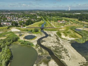
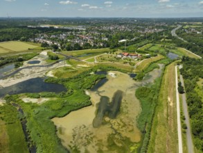
Aerial view, Johanniter-Kliniken Hamm location Kna...
BRK25K50_363
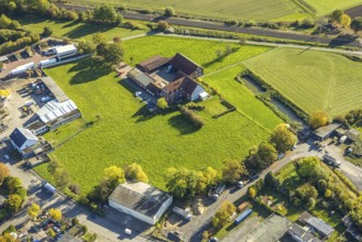
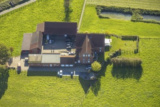
Aerial view, courtyard in a meadow, Gerhard Schnüb...
BRK25K50_351
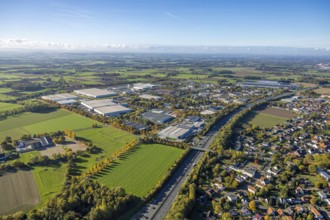
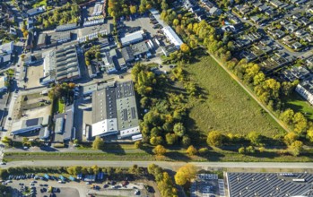
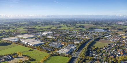
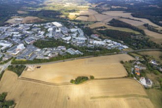
Aerial view, Oberster Kamp industrial estate on th...
BRK25K50_375
Aerial view, courtyard in a meadow, Gerhard Schnüb...
BRK25K50_333
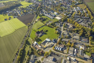
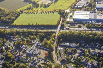
Aerial view, meadow area and industrial park Im Ri...

BRK25K50_353
Aerial view, Oberster Kamp industrial estate on th...
BRK25K50_374
Aerial view, courtyard in a meadow, Gerhard Schnüb...
BRK25K50_349
Aerial view, meadow area surrounded by autumn tree...
BRK25K50_352
Aerial view, Oberster Kamp industrial park on the ...
BRK25K87_293
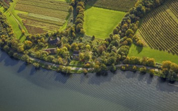
Aerial view, restaurant Haus am See, Lake Baldeney...
BRK25K50_281
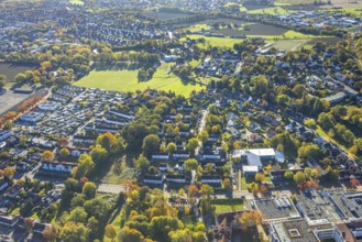
Aerial view, row house residential area Fasanenstr...
BRK25K50_285
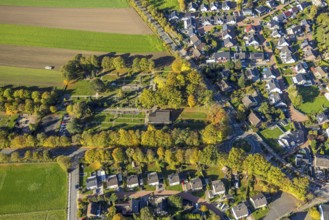
Aerial view, meadow area in the Lippestrasse townh...
BRK25K50_355
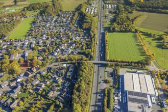
Aerial view of meadows and fields at the new Westt...
BRK25K50_359
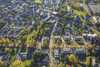
Aerial view, Haverwiese and Kirchspiel Straße, res...
BRK25K87_292
Aerial view, Lake Baldeney river Ruhr, meadows and...
BRK25K50_362
Aerial view, courtyard in a meadow, Gerhard Schnüb...
BRK25K50_373
Aerial view, Haverwiese and Kirchspiel Straße, res...
BRK25K50_342
Aerial view, Wambelner Straße bridge over the A2 m...
BRK25K29_180
Aerial view, industrial area Röbbeck, Stahlstraße,...
BRK25K30_159
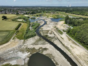
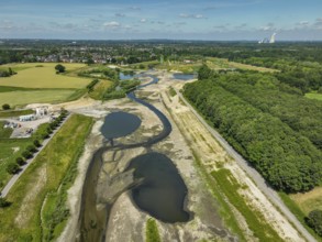
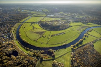
Aerial view, Styrumer Ruhrbogen, Ruhrwiesen, landf...
BRK25K30_434
Aerial view, Agricultural area, Farm Auf der Niede...

BRK25K32_281
Aerial view, Auesee, Auesee lido, North lido, Wese...

BRK25K33_417
Aerial view, fields Plankendickskendel, Neukirchen...
BRK25K40_020
Aerial view, Hullern dam, Hullern reservoir, river...
- Page
-
- sur
- 19