1185 résultats pour : Map of Germany
- Page
-
- sur
- 12
Connectez-vous pour plus de résultats
BRK26J05_405
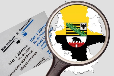
(Photo montage) Map of Saxony-Anhalt with state co...
BRK26J27_306
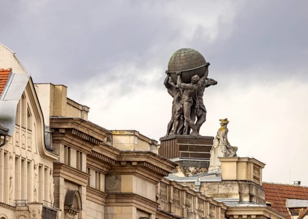
Museum of Communication in the building of the for...
BRK26J16_385
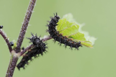
Map butterfly (Araschnia levana), caterpillars, No...
BRK26J27_468
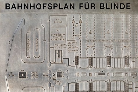
Railway station map for blind people to feel in th...
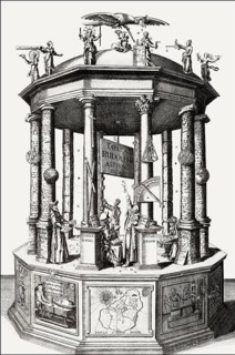
BRK26J20_375
Tabvlæ Rudolphinæ, Rudolphine Tables, a book by Jo...
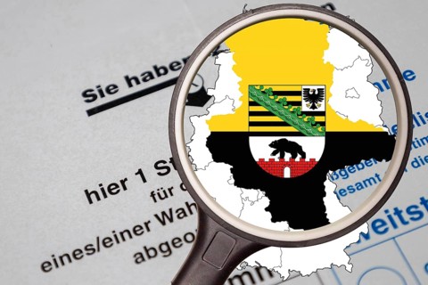
BRK26I57_458
(Photo montage) Map of Saxony-Anhalt with state co...
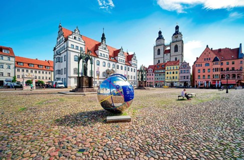
BRK26I63_352
Market square with town hall, city church, town an...
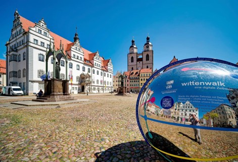
BRK26I25_343
Market square with town hall, city church, town an...
BRK26I14_127
Reichsbürger, skinhead, skinheads, Nazi, right, cl...
BRK26I29_348
Reichsbürger, skinhead, skinheads, Nazi, right, cl...
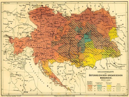
BRK26I40_443
Religious map of the Austro-Hungarian Monarchy, pe...
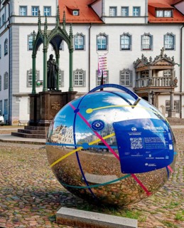
BRK26H67_037
Market square with town hall and globe with QR cod...
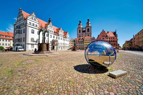
BRK26H79_331
Market square with town hall, city church, town an...
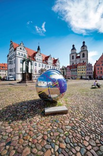
BRK26H57_078
Market square with town hall, city church, town an...
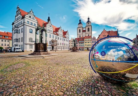
BRK26H60_326
Market square with town hall, city church, town an...
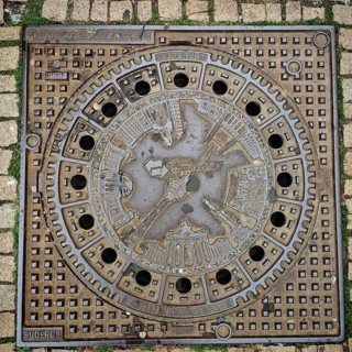
BRK26H66_282
Artistically designed Berlin manhole cover with re...
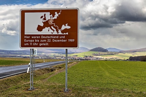
BRK26H89_379
Road sign with map of Europe and text against gree...
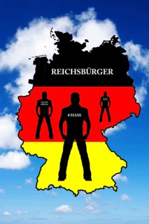
BRK26H82_360
Reichsbürger, skinhead, skinheads, Nazi, Nazis, ri...
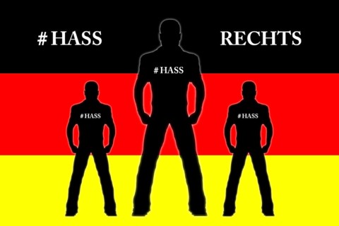
BRK26H65_373
Reichsbürger, skinhead, skinheads, Nazi, right, cl...
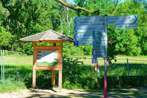
BRK26H04_361
Information map and signpost in the Ohre wetland n...
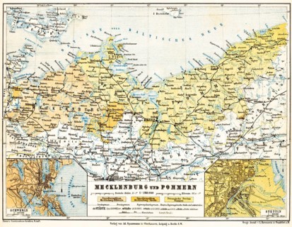
BRK26H27_249
Map of Mecklenburg and Pomerania, city map of Schw...
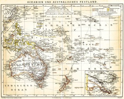
BRK26H21_255
Map of Oceania and Mainland Australia with special...
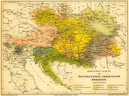
BRK26H14_229
Language map of the Austro-Hungarian Empire, color...
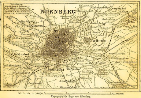
BRK26H21_231
City map of Nuremberg and surrounding area, Pegnit...
BRK26H35_119
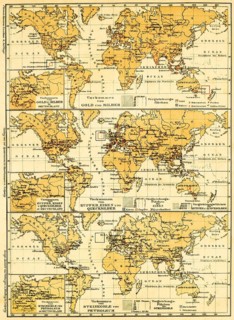
World maps of the continents with their mineral re...
BRK26G93_248
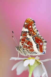
Landcarts or Landcarts butterfly (Araschnia levana...
BRK26G93_007
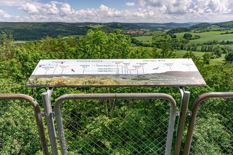
View from the observation tower of the former US m...
BRK26G94_453
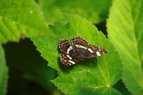
Map Butterfly (Araschnia levana, July, Saxony, Ger...
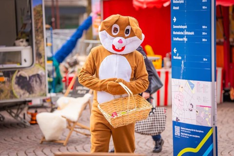
BRK26G49_458
Person in Easter bunny costume at a market with a ...
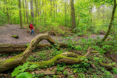
BRK26G48_441
Symbolic image Hiking with smartphone and hiking a...
BRK26G11_215
Oberhausen, North Rhine-Westphalia, Germany, Gasom...
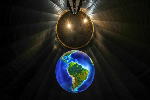
BRK26G37_205
Oberhausen, North Rhine-Westphalia, Germany, Gasom...
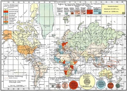
BRK26G17_136
Map of colonial empires throughout the world, end ...
BRK26F65_396
Oberhausen, North Rhine-Westphalia, Germany, Gasom...
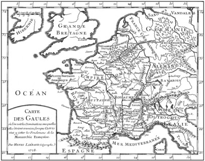
BRK26F59_455
Map of Gaul, 5th century, foundations of the Franç...
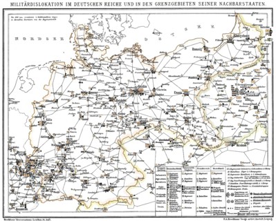
BRK26F61_160
Historical military map of Germany, 1894, Historis...
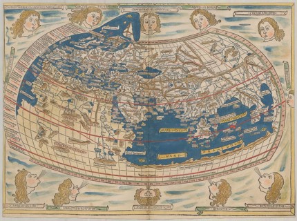
BRK26F58_082
World map by Claudius Ptolemy or Ptolemy, colored ...
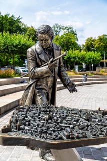
BRK26F70_413
Silver figure explorer traveling by Ekaterina Kova...
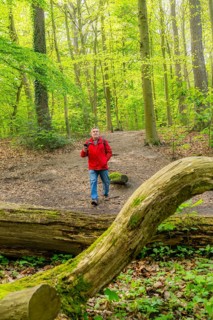
BRK26D27_163
Symbolic image Hiking with smartphone and hiking a...
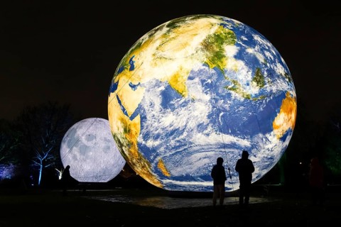
BRK26D11_486
The Winter Lights will take place in the Palmengar...
BRK26D20_293
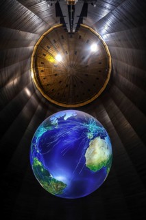
Oberhausen, North Rhine-Westphalia, Germany, Gasom...
BRK26D12_109
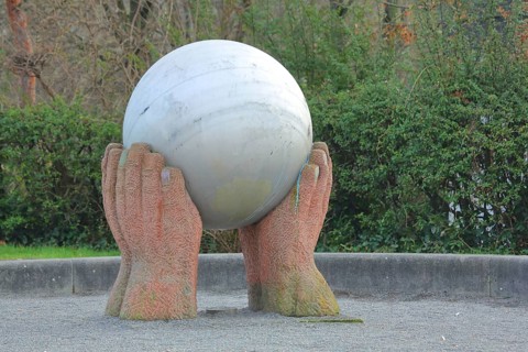
Sculpture The world in my hands by Hans Günther Th...
BRK26D17_368
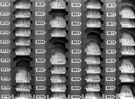
Essen, DEU, 17.11.85 - Stamp cards of the workers ...
BRK26E13_371
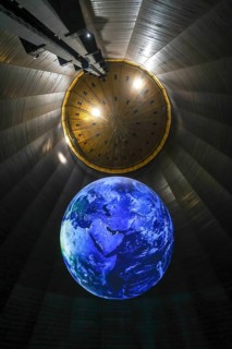
Oberhausen, North Rhine-Westphalia, Germany, Gasom...
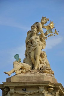
BRK26E55_205
Market fountain with Roman god Mercury with Hermes...
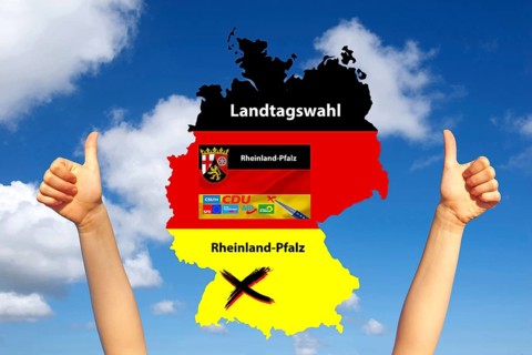
BRK26E52_110
State elections, state elections Rhineland-Palatin...
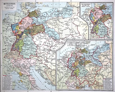
BRK26E36_051
Map from 1890, Central Europe around 1811, Germany...
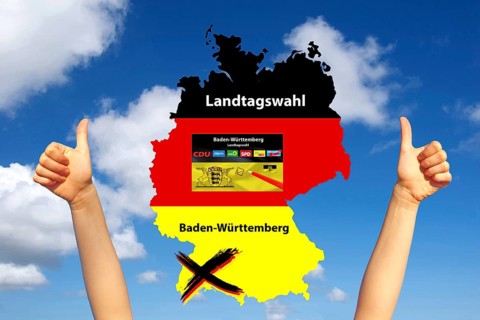
BRK26E46_294
Parliament elections in Baden-Württemberg, thumbs ...
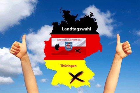
BRK26E49_271
State election, state elections in Thuringia, elec...
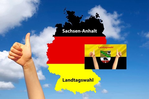
BRK26E49_220
State elections in Saxony-Anhalt, map of Germany, ...
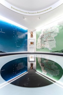
BRK26E29_103
An exhibition space with a large map, bust and ref...
BRK26D90_377
Symbolic image Hiking with smartphone and hiking a...
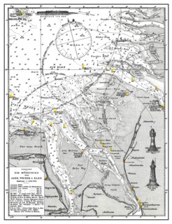
BRK26D61_297
Historical hydrographic map, Baltic Sea, river mou...
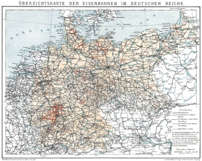
BRK26D85_061
Historical map of German Empire, 1894, state railw...
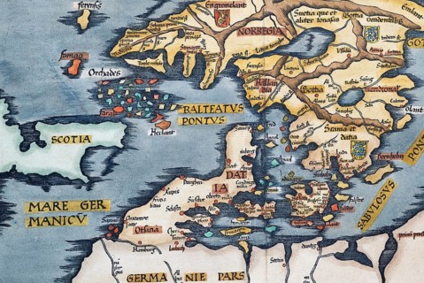
BRK26D58_149
Detail from antique historical map of Scandinavia ...
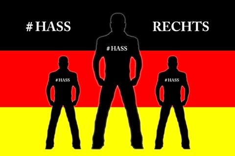
BRK26D88_418
Reichsbürger, skinhead, skinheads, Nazi, right, cl...

BRK26C57_290
A map butterfly (Araschnia levana) flies over bloo...
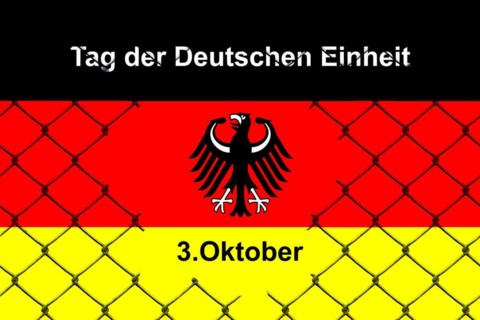
BRK26C95_424
3 October, Day of German Unity, Studio
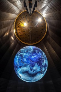
BRK26C85_048
Oberhausen, North Rhine-Westphalia, Germany, Gasom...
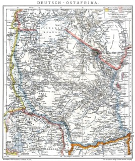
BRK26C85_186
Map of the former German colony of East Africa, 18...
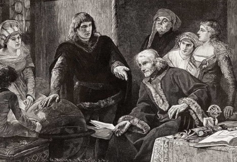
BRK26D00_438
Martin von Behaim, German astronomer, showing his ...
BRK26C33_289
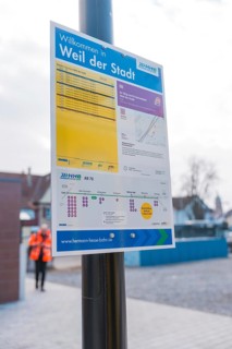
An informative sign on the platform with city and ...
BRK26C34_405
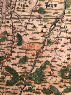
Hand-painted historical map from 1579, Peter Weinh...
BRK26B91_243
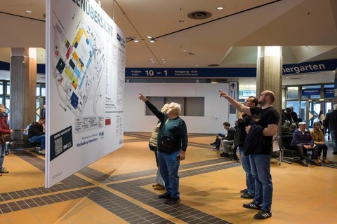
Visitors point to a map of the Green Week at the e...
BRK26C32_412
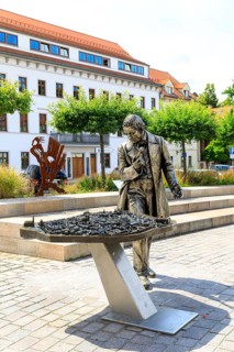
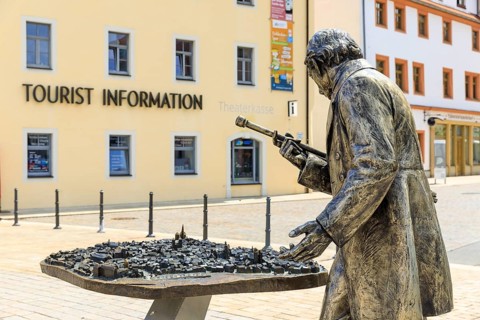
Silver figure explorer traveling by Ekaterina Kova...
BRK26C32_414
Silver figure explorer traveling by Ekaterina Kova...
BRK26C33_303
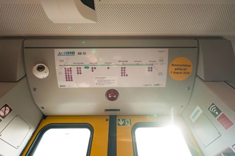
The interior of a train with a route plan and ligh...
BRK26C04_203
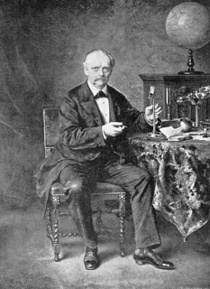
Hermann Ludwig Ferdinand Helmholtz, from 1883 von ...
BRK26C51_099
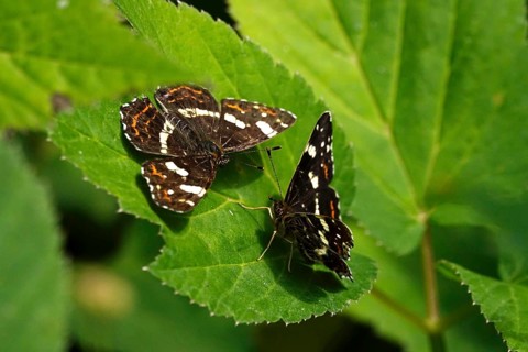
Map Butterfly (Araschnia levana, July, Saxony, Ger...
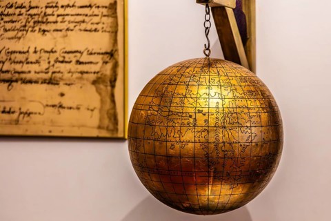
BRK26B81_394
Jagiellonian globe, first globe, with the newly di...
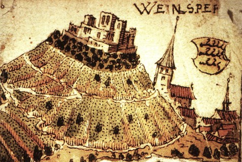
BRK26B77_136
Weinsberg is a town in the district of Heilbronn, ...
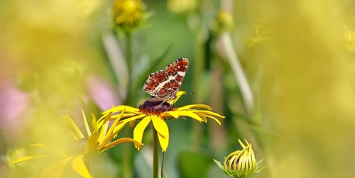
BRK26B96_341
Land carder (Araschnia levana), summer generation,...
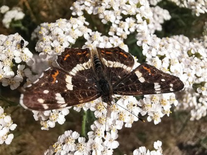
BRK26B67_176
Close-up, A land carder (araschnia levana) sits on...
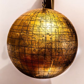
BRK26B12_483
Jagiellonian globe, first globe, with the newly di...
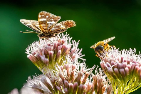
BRK26B19_275
Map Butterfly (Araschnia levana), Ahlhorn, Lower S...
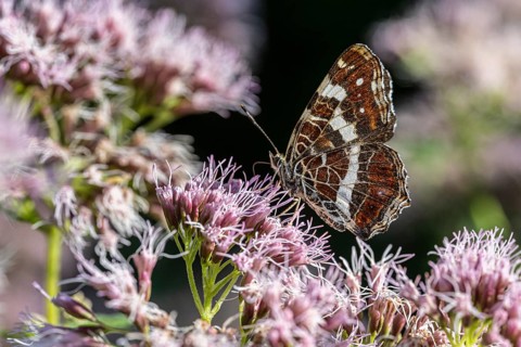
BRK26B19_243
Map Butterfly (Araschnia levana), Ahlhorn, Lower S...
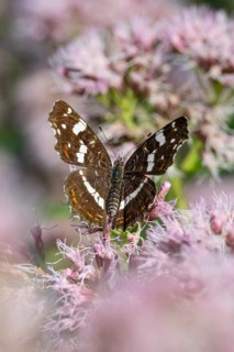
BRK26B19_244
Map Butterfly (Araschnia levana), Ahlhorn, Lower S...
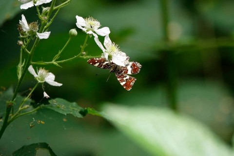
BRK26B42_473
Map Butterfly (Araschnia levana, July, Saxony, Ger...
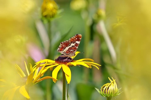
BRK26B32_050
Land carder (Araschnia levana), summer generation,...
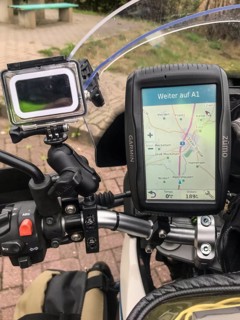
BRK26B25_225
Hatzte, Elsdorf, Lower Saxony, Germany, close-up o...
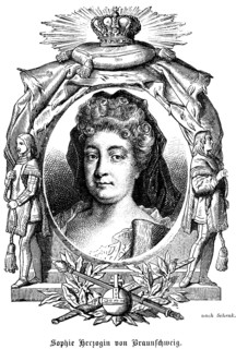
BRK26B08_160
Sophie Dorothea Duchess of Brunswick and Lüneburg ...
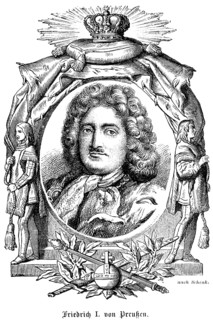
BRK26B08_161
King Frederick I of Prussia (1657-1713) House of H...
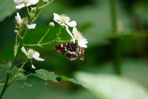
BRK26A91_391
Map Butterfly (Araschnia levana, July, Saxony, Ger...
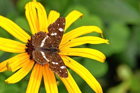
BRK26A84_461
Map (Araschnia levana), summer generation, opened ...
BRK26A79_306
Land carder (Araschnia levana), summer generation,...
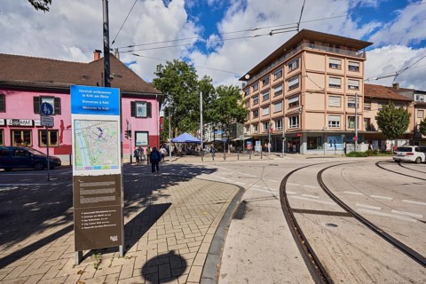
BRK26A59_253
Site plan, public city map, sign for the building,...
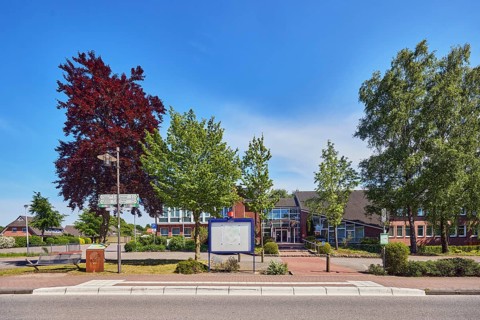
BRK26A73_055
Neuenkirchen Rathaus bus stop, town hall of the mu...
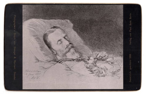
BRK26A73_094
Historical cabinet map depicting Emperor Frederick...
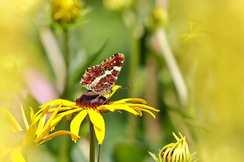
BRK26A83_322
Land carder (Araschnia levana), summer generation,...
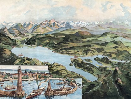
BRK26A07_337
Lake Constance with Lindau and Alpine Range, Swabi...
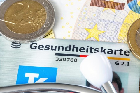
BRK26A30_483
Health insurance contributions Symbolic image: hea...
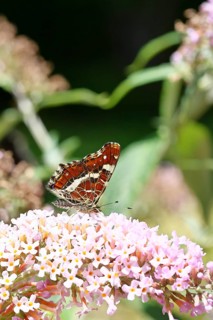
BRK26A21_147
Land carder (Araschnia levana), summer generation,...
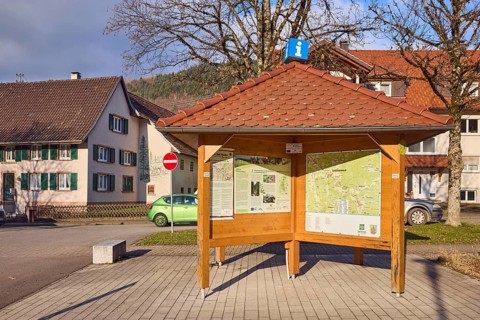
BRK26A11_045
Information pavilion, information, tourism, site p...
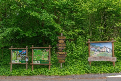
BRK26A50_007
Signposts with directions for hiking trails and pr...
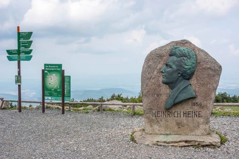
BRK26A51_429
Heinrich Heine memorial, Heine memorial on the sum...
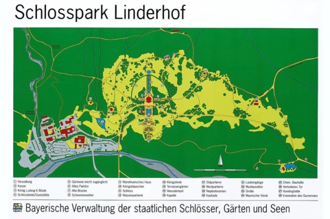
BRK25M44_457
Map of Linderhof Palace Park, UNESCO World Heritag...
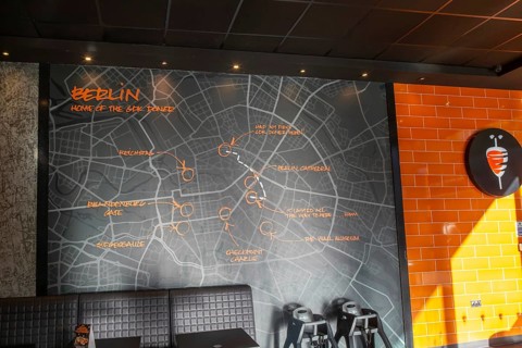
BRK25M35_011
Map of Berlin inside GDK German Doner Kebab takeaw...
BRK25M15_118
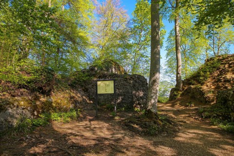
Ruin Alter Lichtenstein near Lichtenstein Castle, ...
BRK25M66_194
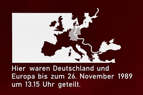
Sign to commemorate the division of Germany, forme...
BRK25M35_007
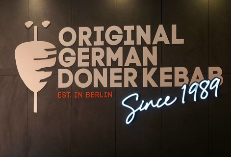
Inside GDK German Doner Kebab takeaway restaurant,...
- Page
-
- sur
- 12