17 results for: maps
- Page
-
- of
- 1
Please sign in for more results
ASI02008_H131157
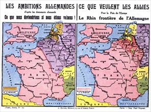
World War I. Postcard printed by the Ligue des pat...
ASI17A00_001
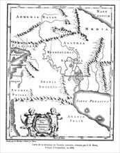
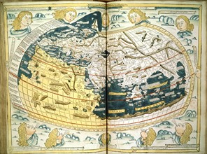
Universal Cosmography: Indies Sea
ASI06132_H310056
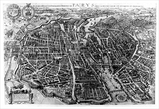
Map of Paris

ASI04068_H307947
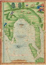
Map of Africa, in 'Africa' by Sievers and Kahn
ASI03288_H307345
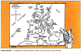
Rational Europe
ASI03153_H306920
The Vicomte of Bragelonne: Ten Years Later
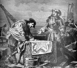
ASI02008_H131131
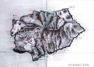
Map of Saint Helena Island, with an indication of ...
ASI01316_H131098
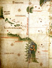
Portuguese nautical atlas by Diego Homem. Detail: ...
ASI01316_H131107
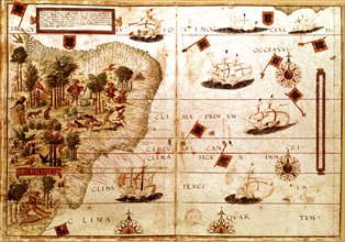
Portuguese map, known as Cantino map, 16th century
ASI01247_H123981
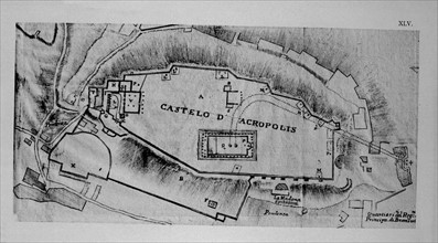
Map of the Acropolis in Athens, in "L'Atene Attica...
ASI01177_H305145
Huet, Geographical map of the earthly paradise, 1...
ASI01184_H130198
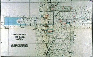
Map of the Angkor group drawn by Buat and Ducret
ASI01184_H130202
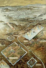
Courmaille, Bird's eye view of Angkor
ASI01170_H128107
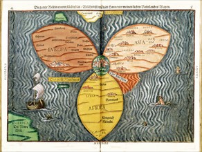
Bünting : Itinerarium Sacrae Scripturae, : The wh...
ASI01170_H128110
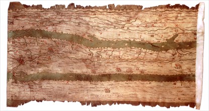
Tabula Peutingeriana, part representing central It...
ASI01170_H128267
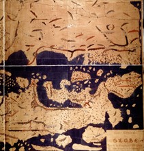
Idrisi : map of the world
ASI01170_H128343