12 results for: map poland
- Page
-
- of
- 1
Please sign in for more results
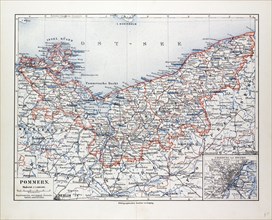
LZT13A17_003
MAP OF POMMERN, MECKLENBURG-VORPOMMERN (GERMANY) A...
LZT13A17_005
MAP OF SILESIA, POLAND, 1899
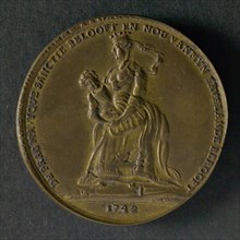
LZT19B46_412
Spot medal on the Pragmatic Sanction in Austria, w...
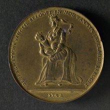
LZT19B46_411
Spot medal on the Pragmatic Sanction in Austria, w...
LZT16A02_286
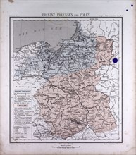
Germany, Prussia, Poland, atlas by Th. von Liechte...
LZT16A27_418
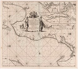
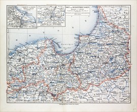
Sea chart of a portion of the Baltic coast of Pola...
LZT16A27_422
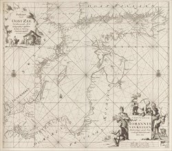
Sea chart of the Baltic Sea from Rostock to Vyborg...
LZT16A00_223
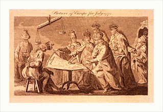
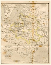
Picture of Europe for July 1772, Catherine II, Leo...
LZT16A63_117
Map Poland, 19th century engraving
LZT13A17_061
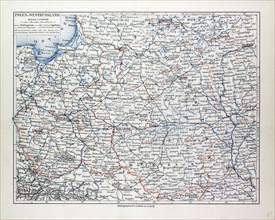
MAP OF POLAND, BELARUS AND UKRAINE, 1899
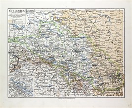
LZT13A17_004
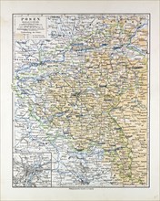
MAP OF POSEN (POZNAN), POLAND, 1899
LZT13A16_499