Caption
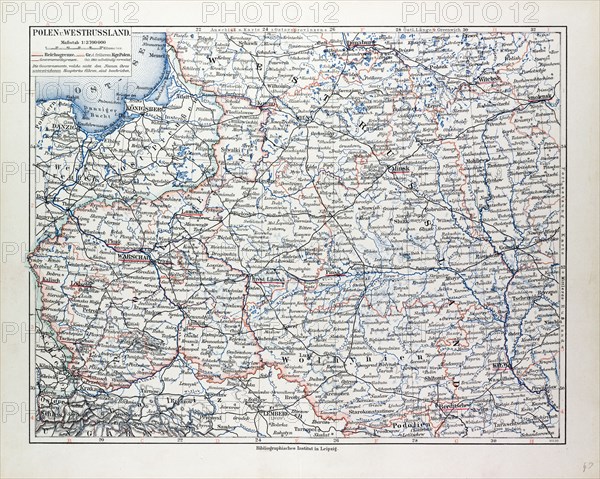
MAP OF POLAND, BELARUS AND UKRAINE, 1899
Date
1899
Credit line
Photo12/Liszt Collection/Quint Lox Limited
Reference
LZT13A17_061
License type
Rights managed
Available size
84.7Mb (7.8Mb) / 20.3in x 16.2in / 6091 x 4863 (300dpi)
1899
LZT13A17_061
Rights managed
84.7Mb (7.8Mb) / 20.3in x 16.2in / 6091 x 4863 (300dpi)