Period

4 results for: map inserts

  • Page
  • of
  • 1
Please sign in for more results
Graphic matrix with maps marked with numbers 32, 33, 33b and 33c made for the Atlas to J. Lelewel
LZT26A74_281

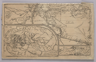
Graphic matrix with maps marked with numbers 32, 3...

Sea chart of a portion of the northeast coast of Brazil, Jan Luyken, Johannes van Keulen (I),
LZT16A27_341

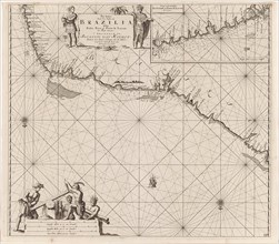
Sea chart of a portion of the northeast coast of B...

Sea chart of the Gulf of Paria to the mouth of the Orinoco river, Orinoquia, Venezuela, Jan Luyken,
LZT16A27_364

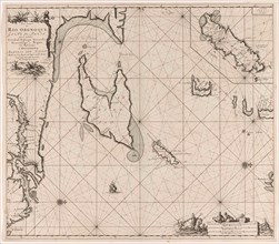
Sea chart of the Gulf of Paria to the mouth of the...
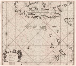
Sea chart of the north coast of Hispaniola, with two insert cards, print maker: Jan Luyken, Claes
LZT16A27_360

Sea chart of the north coast of Hispaniola, with t...