7650 results for: field road
- Page
-
- of
- 77
Please sign in for more results
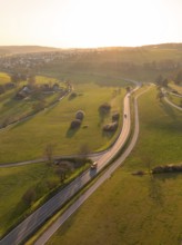
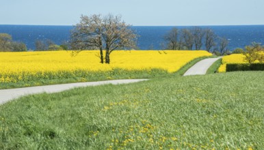
BRK26C79_179
Winding country road through green fields and tree...
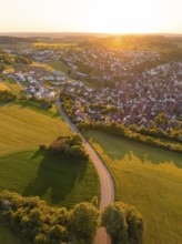
BRK26C86_075
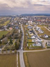
View of a village and a road surrounded by fields ...
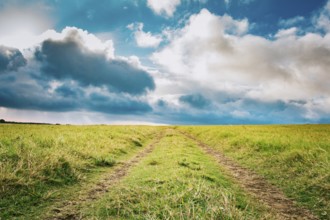
BRK26C60_490
Lonely dirt road surrounded by grass under a blue ...
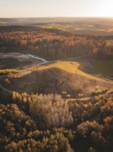
BRK26C77_056
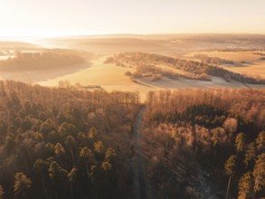
Aerial view of autumnal forests and hills with fie...
BRK26C84_066
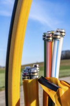
Fibre optic connection, empty conduits protrude fr...
BRK26C93_487
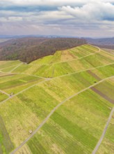
Aerial view of green fields and roads in hilly ter...
BRK26C59_274
Aerial view of a road through a forest and past fi...
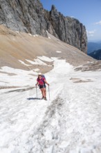
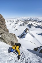
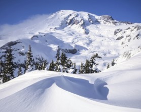
BRK26C73_143
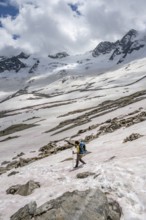
Mountaineer on a snowfield, descent from the summi...
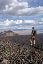
BRK26C79_256
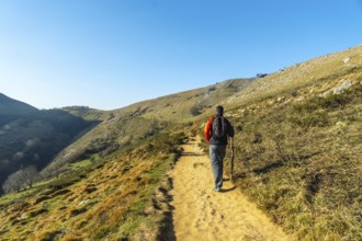
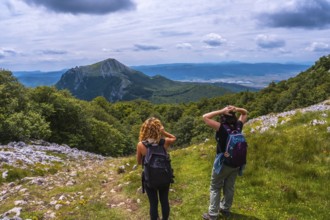
Hiker looks at a vast volcanic landscape under a c...
BRK26C63_166
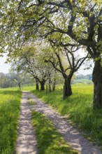
Country lane leads through a dreamy forest in the ...
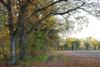
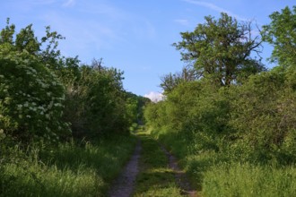
BRK26C63_495
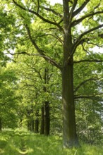
Forest path along the edge of a field with oak tre...
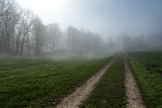
BRK26C73_350
A foggy morning at the edge of a forest with a dir...
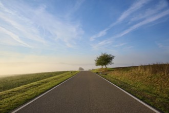
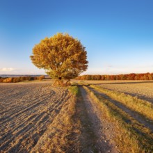
BRK26C64_424
Road, Field, Fruit tree, Fog, Sun, Morning, Altert...
BRK26C61_225
Road, Field, Fruit tree, Fog, Morning, Altertheim,...
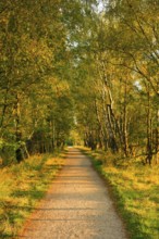
BRK26D00_213
Hiking trail through a young avenue near Förderger...
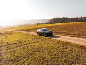
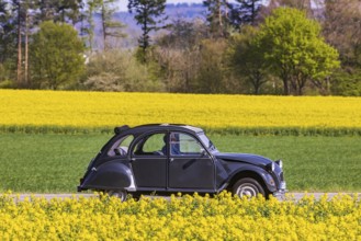
BRK26C63_136
A black car on a dirt road in the middle of golden...
BRK26C95_305
Mountaineer on a snowfield, mountain basin with gl...
BRK26C66_166
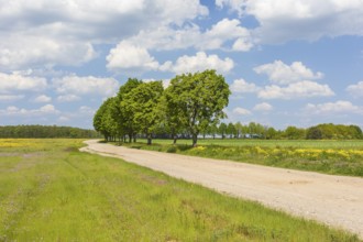
Landscape with country lane and trees under a clea...
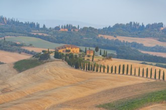
BRK26C65_325
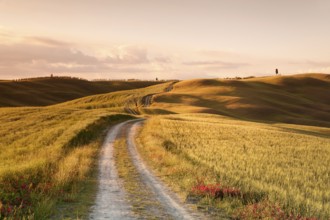
Typical Tuscan landscape in Crete Senesi with hill...
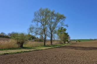
BRK26C64_387
Natural monument sign on the country lane to Medin...
BRK26C67_084
Oak avenue (quercus) near Döbra, Oßling, Saxony, G...
BRK26C60_093
Field path with row of trees near Cavertitz, Saxon...
BRK26C78_476
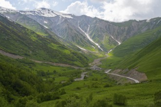
Green valley with snow-covered mountains under clo...
BRK26C56_372
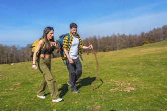
Young couple walking hand in hand across a vibrant...
BRK26C60_373
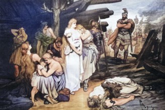
Captured Germanic woman in the Roman camp, Roman-G...
BRK26C87_484
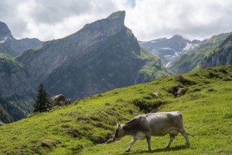
A picturesque scene at Seealpsee in Switzerland fe...
BRK26C84_045
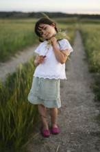
A young girl, identifiable by her feminine dress a...
BRK26C88_297
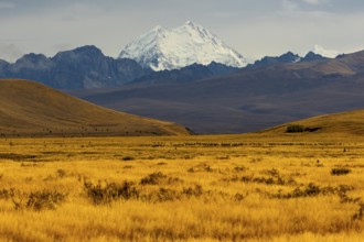
Breathtaking Mount Cook surrounded by golden field...
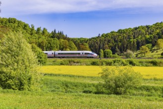
BRK26C56_039
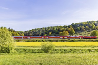
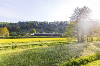
InterCityExpress ICE travelling across the Swabian...
BRK26C63_496
St. Nicholas Church, Krkva Sveti Nikole, 12th cent...
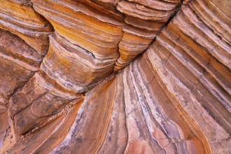
BRK26C69_042
Close-up image of layered red rock formations show...
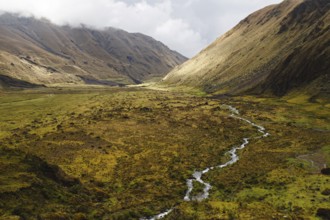
BRK26C85_020
A meandering stream flows through a vast Andean va...
BRK26C90_250
Mountaineer with ice axe and crampons, ascent thro...
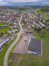
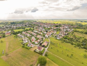
BRK26D01_126
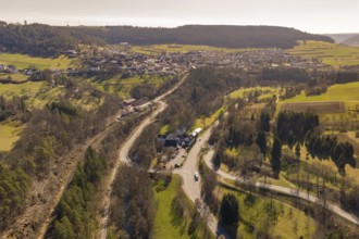
Roads cross a village with a building and neighbou...
BRK26C62_461
Country road with Citroën 2CV Ente car on the Swab...
BRK26C68_171
Field path between hedges in spring m blue sky, Wa...
BRK26C83_339
Emscherkunst, artwork Zauberlehrling by the Berlin...
BRK26C90_244
Stunning aerial shot captures the rich, golden hue...
BRK26C61_267
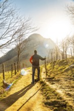
A man climbing Mount Ernio or Hernio in Gipuzkoa a...
BRK26C59_341
A man descending from the summit of Mount Ernio or...
BRK26C70_200
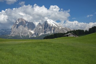
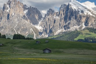
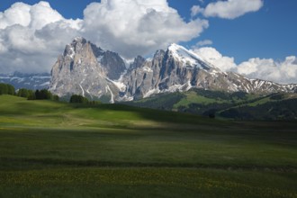
Stunning view of Alpe di Siusi in the Dolomites, I...

BRK26C81_220
Pink flowers of the rice dye plant (peristrophe ro...
BRK26C97_087
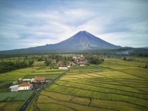
A breathtaking aerial view of Mount Semeru, the hi...
BRK26C59_022
Residential area with densely built houses and str...
BRK26C60_475
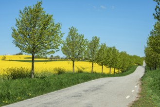
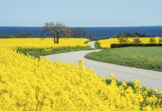
Country road at avenue and rapeseed field and blue...
BRK26C95_178
Charming wooden huts scattered across lush green m...
BRK26D01_440
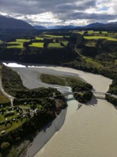
Aerial view captures the diverse landscape of Cant...
BRK26C61_083
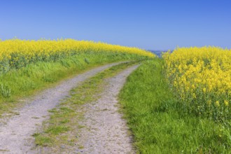
Tree at small country road through blooming rapese...
BRK26C86_275
Overhead view of vibrant green lanes vividly marki...
BRK26C87_201
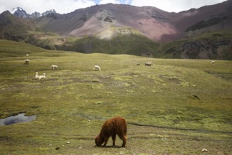
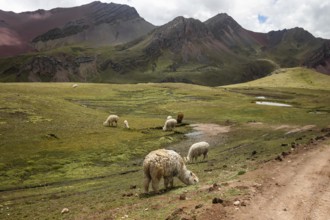
Alpaca and alpacas graze peacefully in the vibrant...
BRK26C59_458
Trekking up Mount Ernio or Hernio in Gipuzkoa, Bas...
BRK26C82_163
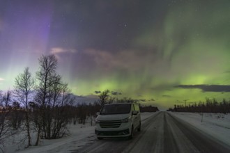
A mesmerizing display of Aurora Borealis fills the...
BRK26D01_391
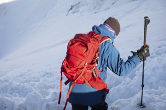
A skier with a red backpack explores a winter land...
BRK26C64_485
Country road through blooming rapeseed fields and ...
BRK26C71_118
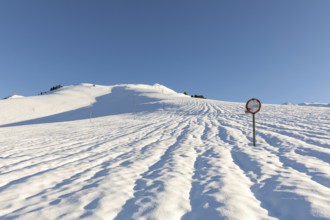
Pristine snow shapes created by strong winds in fr...
BRK26C83_269
Field landscape in evening light, solitary oak on ...
BRK26C61_162
Overview of a residential area with many houses an...
BRK26C67_226
RegionalExpress RE5 to Friedrichshafen travelling ...
BRK26C70_240
Alpe di Siusi in the Dolomites mountains of Italy ...
BRK26C61_314
Mount Aizkorri 1523 meters, the highest in Guipuzc...
BRK26C62_125
Curvy country road through blooming rapeseed field...
BRK26D01_280
Long narrow street made of large grey smooth and w...
BRK26C56_044
TGV travelling over the Swabian Alb. Idyllic lands...
BRK26C63_163
A man climbing Mount Ernio or Hernio in Gipuzkoa a...
BRK26C63_321
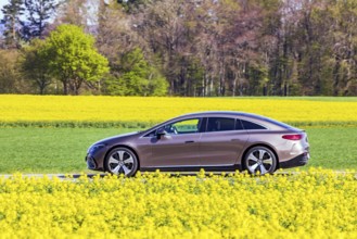
Country road with Mercedes EQS electric car on the...
BRK26C66_062
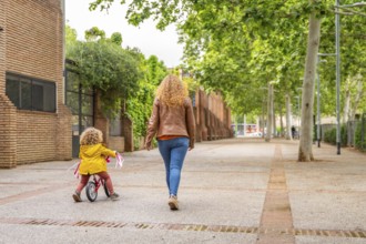
Rear view of a caucasian mother walking aside a gi...
BRK26C68_422
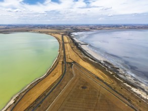
Aerial photo contrasting vibrant green and gray la...
BRK26C81_096
Alpacas graze peacefully in the stunning landscape...
BRK26C89_302
A vibrant aerial shot of a freshly marked bright g...
BRK26C92_120
A serene spring night at Coyote Buttes in the Pari...
BRK26C62_368
A man on the top of Mount Ernio or Hernio in Gipuz...
BRK26C92_006
A serene scene in the district of Gruyere, showcas...

BRK26C56_445
University professor explaining a mathematical fun...
BRK26C57_020
ÖBB RailJet travelling across the Swabian Alb. Idy...

BRK26C65_333
Multi-ethnic students on the way to the university...
BRK26C72_449
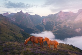
Two horses graze peacefully on a lush hillside ado...
BRK26C73_182
Mountaineers in a snowfield on the Sella della Tos...
BRK26C75_094
A serene snowy landscape unfolds under a clear blu...
BRK26C90_057
A breathtaking autumn scene at Mount Cook, New Zea...
BRK26C90_291
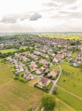
Aerial view of a rural suburb with streets and hou...
BRK26C55_275
Lane through Tuscan countryside at San Quirico, cy...

BRK26D00_209
A businesswoman in casual attire sits on outdoor s...
BRK26C55_422
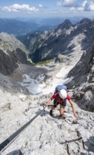
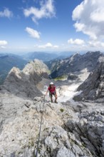
Mountaineer with helmet climbing in a secured via ...
BRK26C94_040
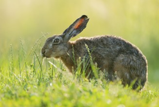
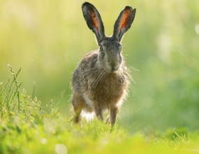
European hare (Lepus europaeus) sitting on a dirt ...
BRK26C59_471
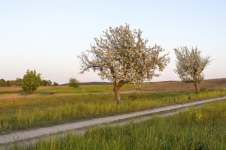
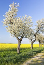
Apple trees (malus) in blossom in the evening ligh...
BRK26C76_249
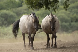
Konik pony (Equus ferus caballus) two adult horse ...
BRK26C63_081
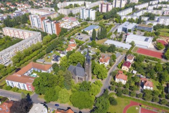
Aerial view of the New Church, in the background t...
BRK26C70_141
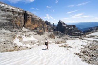
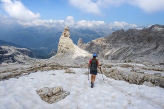
Female hiker on hiking trail 305 crossing a snowfi...
BRK26C65_384
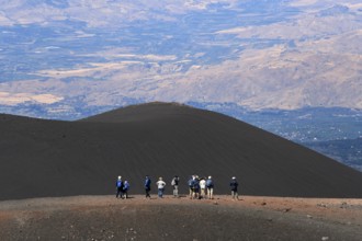
Hikers in the crater landscape of the volcano Etna...
BRK26C70_352
European hare (Lepus europaeus) standing on a dirt...
BRK26C84_206
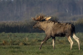
A bull moose (Alces alces) walks across a meadow, ...
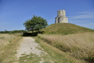
BRK26C62_148
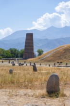
Burana Tower, remains of Karakhanid Minaret, histr...
BRK26C63_281
Field path through flowering rape fields (Brassica...
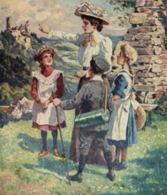
BRK26C77_487
Outing of the governess with three children, nanny...
BRK26C90_059
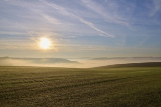
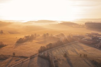
Rural landscape with fields and road in foggy morn...
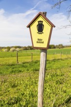
BRK26C56_468
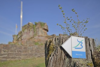
Hiking trail Bliessteig, symbol, sign, signpost, s...
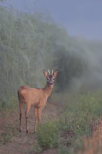
BRK26C59_206
Wenn der Spargel schießt... Rehbock *Capreolus cap...
BRK26C70_412
Mountaineer with helmet in a secured via ferrata, ...
BRK26C84_456
Rural landscape with village, fields, forests and ...
BRK26C97_249
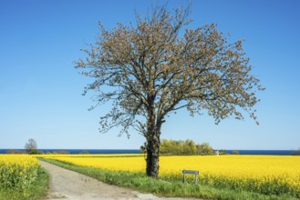
Alley with blossoming fruit trees between rape fie...
- Page
-
- of
- 77