Caption
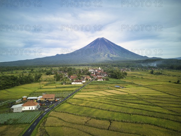
A breathtaking aerial view of Mount Semeru, the highest volcano on Java, and its surrounding vibrant green fields and rural landscape, under a clear sky
Date
Jan 13, 2025
Credit line
Photo12/imageBROKER/Addictive Stock
Reference
BRK26C97_087
Model release
Yes
Property release
No
License type
Royalty free
Available size
139.5Mb (12.1Mb) / 26.9in x 20.2in / 8064 x 6048 (300dpi)