Period

3044 results for: View level

  • Page
  • of
  • 31
Please sign in for more results
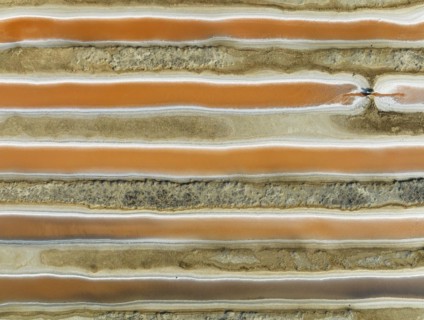
Saline ponds at the salt works near Chiclana de la Frontera. The orange-red colour depends on the
BRK26J76_340

Saline ponds at the salt works near Chiclana de la...
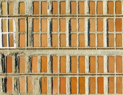
Saline ponds at the salt works next to Almadraba de Monteleva. The reddish colour depends on the
BRK26J65_457

Saline ponds at the salt works next to Almadraba d...
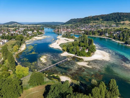
Aerial view of the Werd archipelago in the westernmost part of Lake Constance, historic low level
BRK26J56_056

Aerial view of the Werd archipelago in the western...
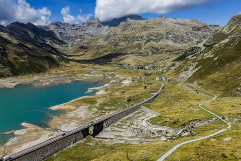
Lago di Montespluga. 1, 876 meter high reservoir in the Lombardy region of Italy on the Splügen
BRK26J52_459

Lago di Montespluga. 1, 876 meter high reservoir i...
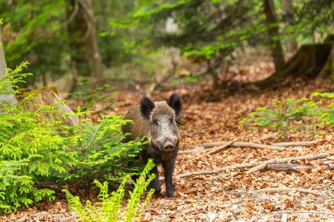
Wild boar (Sus scrofa) standing in a forest, Bavaria, Germany
BRK26J58_477

Wild boar (Sus scrofa) standing in a forest, Bavar...
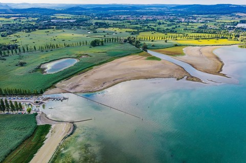
The Radolfzeller Aach flows into Lake Constance. The river carries little water. The water level in
BRK26J57_408

The Radolfzeller Aach flows into Lake Constance. T...
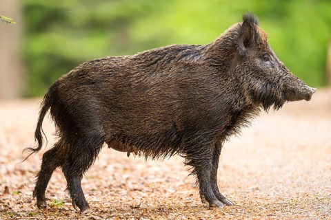
Wild boar (Sus scrofa) standing in a forest, Bavaria, Germany
BRK26J57_155

Wild boar (Sus scrofa) standing in a forest, Bavar...
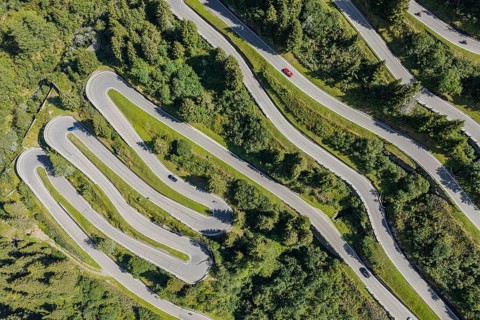
North side of the Splügen. The Splügen Pass lies at an altitude of 2, 114 metres above sea level
BRK26J55_388

North side of the Splügen. The Splügen Pass lies a...
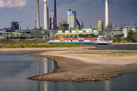
Container ship, extreme low tide, here at the ThyssenKrupp Steel Steel Plant in Duisburg-Marxloh,
BRK26J19_408

Container ship, extreme low tide, here at the Thys...
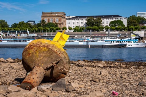
Buoy aground, Rhine near Düsseldorf, extreme low water, Rhine level at 31 cm, downward trend, after
BRK26J52_309

Buoy aground, Rhine near Düsseldorf, extreme low w...
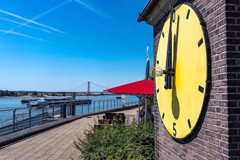
The extreme low water in the Rhine, near Emmerich on the border with the Netherlands, the water
BRK26J18_244

The extreme low water in the Rhine, near Emmerich ...
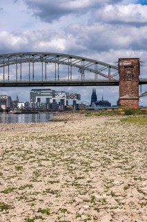
Low water in the Rhine near Cologne, view from the right bank of the Rhine over the Boller Wiesen,
BRK26J31_382

Low water in the Rhine near Cologne, view from the...
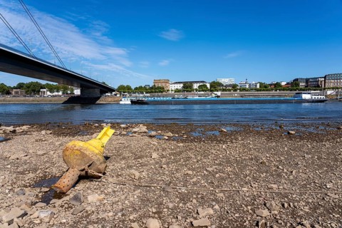
Buoy aground, Oberkassler Rheinbrücke, Rhine near Düsseldorf, extreme low water, Rhine level at 31
BRK26J22_092

Buoy aground, Oberkassler Rheinbrücke, Rhine near ...
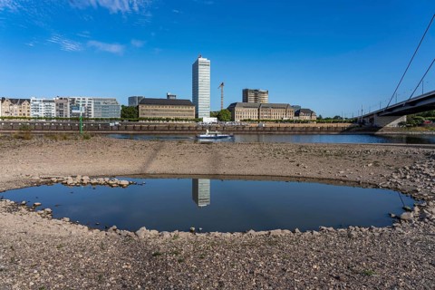
Rhine near Düsseldorf, extreme low water, Rhine level at 31 cm, downward trend, after the long
BRK26J30_202

Rhine near Düsseldorf, extreme low water, Rhine le...
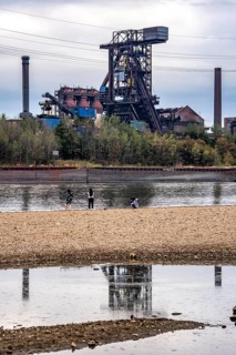
Extreme low water in the Rhine, the du-Ruhrort level was 130 cm at the time of recording, the
BRK26J46_080

Extreme low water in the Rhine, the du-Ruhrort lev...
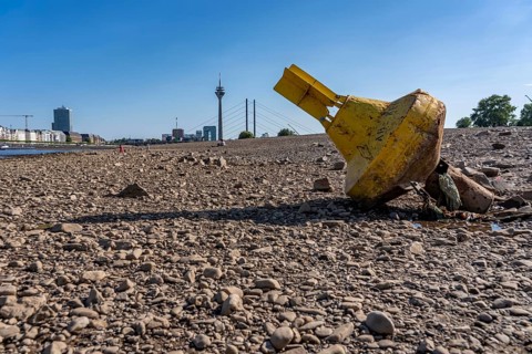
Buoy on the ground, skyline with Rhine Tower and Rheinkniebrücke, Rhine near Düsseldorf, extreme
BRK26J48_316

Buoy on the ground, skyline with Rhine Tower and R...
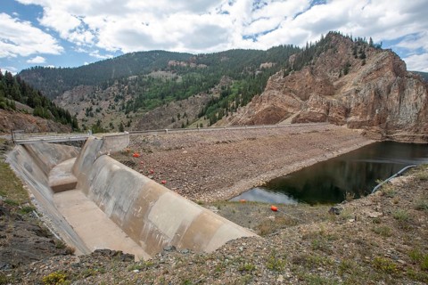
Abbeyville, Colorado - August 2026 - The dam and spillway at the Taylor Park Reservoir in central
BRK26J45_255

Abbeyville, Colorado - August 2026 - The dam and s...
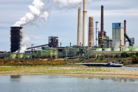
Duisburg, North Rhine-Westphalia, Germany - Low tide on the Rhine. In the back, the Schwelgern KBS
BRK26J30_136

Duisburg, North Rhine-Westphalia, Germany - Low ti...
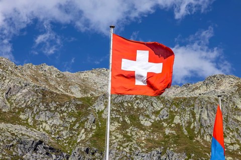
Flags in front of Albergo San Gottardo on the Gotthard Pass, with blue skies and mountains behind.
BRK26J08_457

Flags in front of Albergo San Gottardo on the Gott...
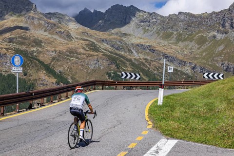
The Splügen Pass lies at an altitude of 2, 114 metres above sea level and connects Splügen in
BRK26J05_303

The Splügen Pass lies at an altitude of 2, 114 met...
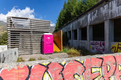
The Splügen Pass is located at 2114 meters above sea level and connects Splügen in the Swiss Rhine
BRK26J30_223

The Splügen Pass is located at 2114 meters above s...
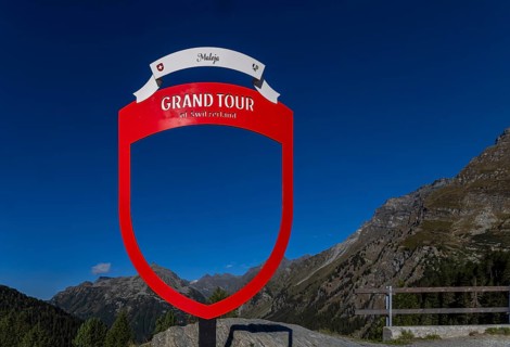
Grand Tour of Switzerland. The tour covers 1643 kilometers through all parts of the country to 44
BRK26J11_113

Grand Tour of Switzerland. The tour covers 1643 ki...
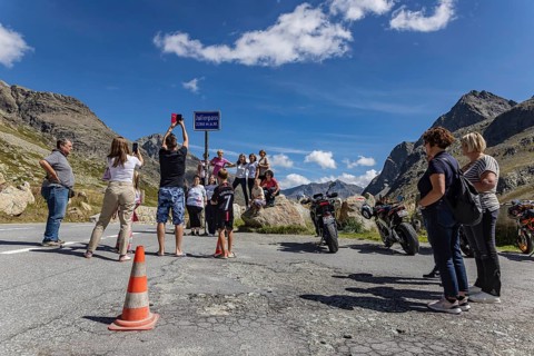
A selfie at the top of the pass. Tiefencastel, Canton of Graubünden, The Julier Pass is an alpine
BRK26J19_052

A selfie at the top of the pass. Tiefencastel, Can...
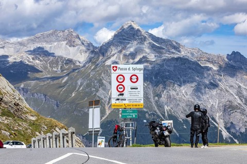
Pass height. The Splügen Pass lies at 2, 114 metres above sea level and connects Splügen in
BRK26J03_276

Pass height. The Splügen Pass lies at 2, 114 metre...
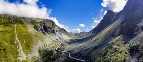
Albula Pass, a 2312 m above sea level mountain crossing in the Albula Alps in the Swiss canton of
BRK26J06_090

Albula Pass, a 2312 m above sea level mountain cro...
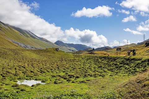
Albula Pass, a 2312 m above sea level mountain crossing in the Albula Alps in the Swiss canton of
BRK26J08_405

Albula Pass, a 2312 m above sea level mountain cro...
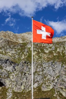
Flags in front of Albergo San Gottardo on the Gotthard Pass, with blue skies and mountains behind.
BRK26J10_047

Flags in front of Albergo San Gottardo on the Gott...
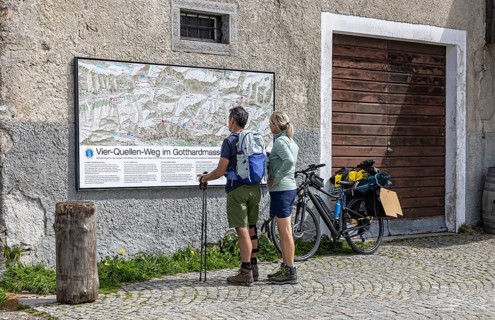
Two hikers are standing in front of a wall map at the top of the Gotthard Pass. The mountain pass
BRK26J40_005

Two hikers are standing in front of a wall map at ...
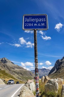
The Julier Pass is an alpine pass in the canton of Graubünden in Switzerland. With a peak height of
BRK26J07_321

The Julier Pass is an alpine pass in the canton of...
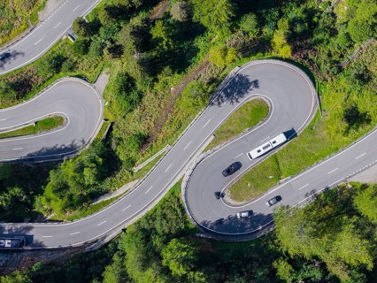
The Maloja Pass is a Swiss alpine pass located 1812 meters above sea level, which connects Bergell
BRK26J10_010

The Maloja Pass is a Swiss alpine pass located 181...

Joe Biden (46th President of the United States) gives a speech of thanks after being awarded the
BRK26J31_492

Joe Biden (46th President of the United States) gi...
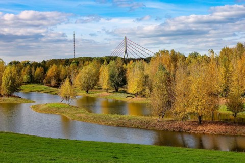
Wesel, Lower Rhine, North Rhine-Westphalia, Germany - autumn on the Lippe, trees with colorful
BRK26J13_072

Wesel, Lower Rhine, North Rhine-Westphalia, German...
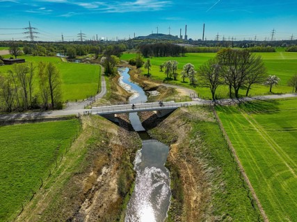
Dorsten, North Rhine-Westphalia, Germany - Renaturalised Rapphofs (also Rapphoffs) Mühlenbach,
BRK26J05_098

Dorsten, North Rhine-Westphalia, Germany - Renatur...
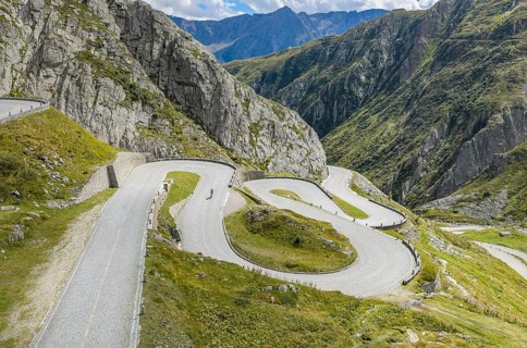
La Tremola, world-famous serpentine road through Val Tremolo. The Tremolastrasse is the longest
BRK26J15_383

La Tremola, world-famous serpentine road through V...
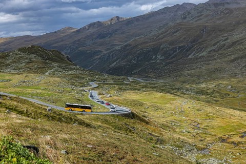
Postbus on the Flüela Pass. The mountain pass is a 2383 m above sea level in the Swiss canton of
BRK26J22_406

Postbus on the Flüela Pass. The mountain pass is a...
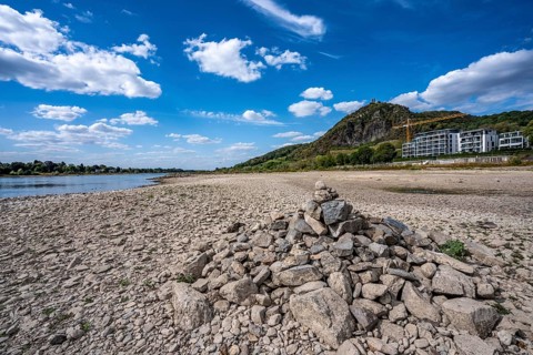
Low tide in the Rhine, dry riverbed, sandbanks, on the right bank of the Rhine near Bad Honnef,
BRK26J05_193

Low tide in the Rhine, dry riverbed, sandbanks, on...
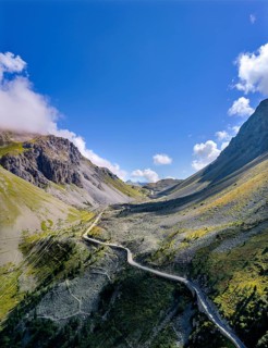
Albula Pass, a 2312 m above sea level mountain crossing in the Albula Alps in the Swiss canton of
BRK26J05_177

Albula Pass, a 2312 m above sea level mountain cro...
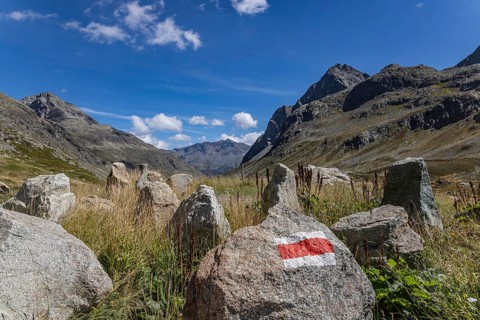
The Julier Pass is an alpine pass in the canton of Graubünden in Switzerland. With a peak height of
BRK26J04_003

The Julier Pass is an alpine pass in the canton of...
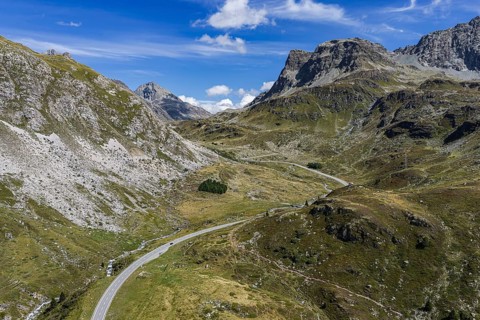
The Julier Pass is an alpine pass in the canton of Graubünden in Switzerland. With a peak height of
BRK26J04_272

The Julier Pass is an alpine pass in the canton of...
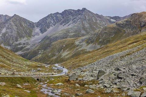
The Flüela Pass is a 2383 m above sea level in the Swiss canton of Grisons between Davos in the
BRK26J06_208

The Flüela Pass is a 2383 m above sea level in the...
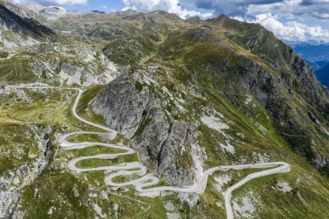
La Tremola, world-famous serpentine road through Val Tremolo. The Tremolastrasse is the longest
BRK26J06_121

La Tremola, world-famous serpentine road through V...
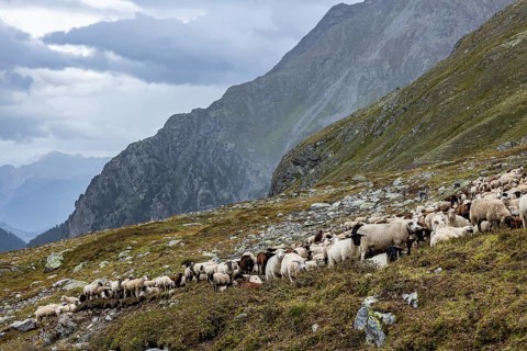
Grazing sheep on an alpine pasture. The Flüela Pass is a 2383 m above sea level in the Swiss canton
BRK26J14_378

Grazing sheep on an alpine pasture. The Flüela Pas...
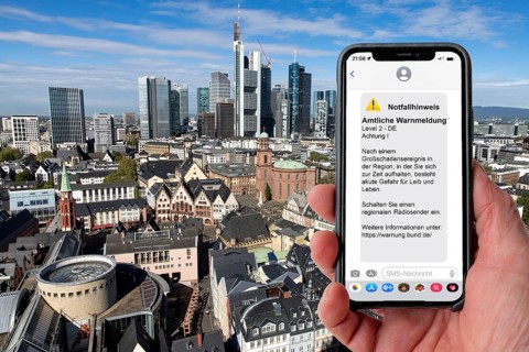
Symbolic image Cell Broadcast, warning service via mobile phone, by SMS, to all devices located in
BRK26J32_062

Symbolic image Cell Broadcast, warning service via...
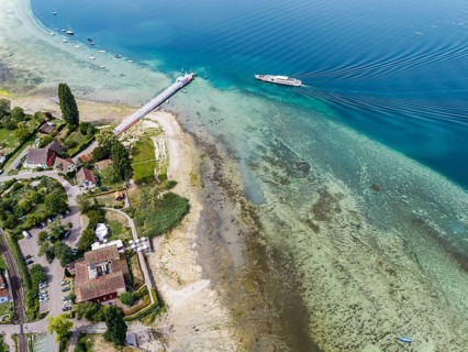
Jetty with sightseeing boat in Mannenbach harbour in the canton of Thurgau. Lake Constance has a
BRK26J06_181

Jetty with sightseeing boat in Mannenbach harbour ...
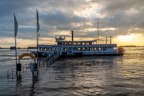
Rhine floods, riverbank promenade in Wesel, some of the river water is already spilling onto the
BRK26J22_326

Rhine floods, riverbank promenade in Wesel, some o...
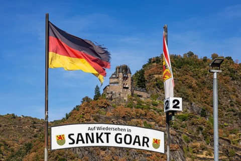
Katz Castle in St. Goarshausen, Rhineland-Palatinate. Originally, the castle was called
BRK26J39_328

Katz Castle in St. Goarshausen, Rhineland-Palatina...
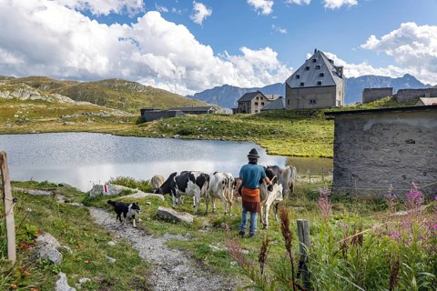
Cattle drive at Alpe Sorescia at the top of the Gotthard Pass. The mountain pass connects the
BRK26J14_125

Cattle drive at Alpe Sorescia at the top of the Go...
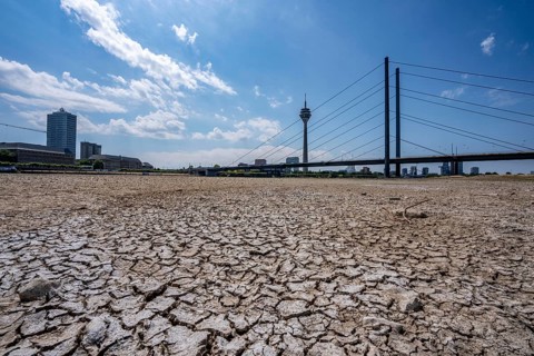
Dry riverbed, brittle floes, extreme low water, Rhine level at 41 cm, downward trend, freighters
BRK26J17_074

Dry riverbed, brittle floes, extreme low water, Rh...
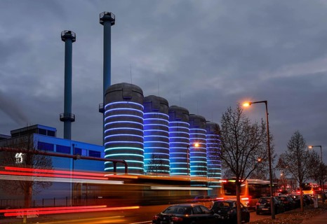
BTB Blockheizkraftwerks-Träger- und Betreibergesellschaft mbH combined heat and power plant. The
BRK26J50_305

BTB Blockheizkraftwerks-Träger- und Betreibergesel...
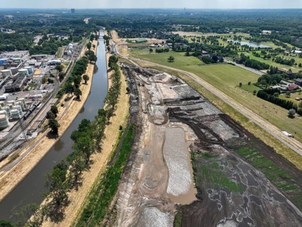
Oberhausen, North Rhine-Westphalia, Germany, renaturalisation of the Emscher in the Holtener Bruch.
BRK26J39_109

Oberhausen, North Rhine-Westphalia, Germany, renat...
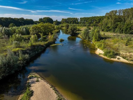
Datteln, North Rhine-Westphalia, Germany - Lippe, river and floodplain development of the Lippe
BRK26J12_273

Datteln, North Rhine-Westphalia, Germany - Lippe, ...
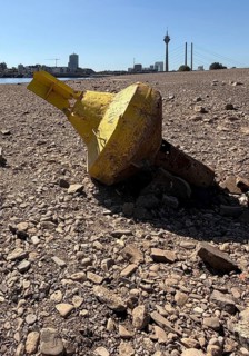
Extreme low tide on the Rhine, historic low in summer 2026, Rhine level falls below zero for the
BRK26J22_322

Extreme low tide on the Rhine, historic low in sum...
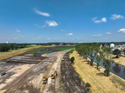
Oberhausen, North Rhine-Westphalia, Germany, renaturalisation of the Emscher in the Holtener Bruch.
BRK26J43_371

Oberhausen, North Rhine-Westphalia, Germany, renat...
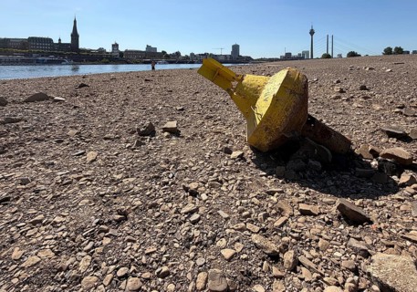
Extreme low tide on the Rhine, historic low in summer 2026, Rhine level falls below zero for the
BRK26J17_373

Extreme low tide on the Rhine, historic low in sum...
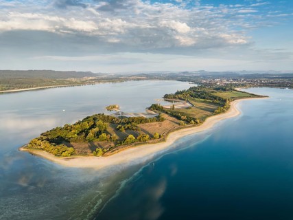
Aerial view of the Mettnau peninsula near Radolfzell on Lake Constance at historic lows, low tide
BRK26J03_117

Aerial view of the Mettnau peninsula near Radolfze...
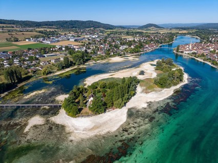
Aerial view of the Werd archipelago in the westernmost part of Lake Constance, historic low level
BRK26J08_112

Aerial view of the Werd archipelago in the western...
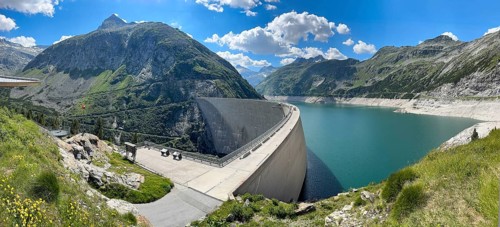
View from an elevated location at the 200-meter high Kölnbrein dam highest dam in Austria, 1933
BRK26J09_323

View from an elevated location at the 200-meter hi...
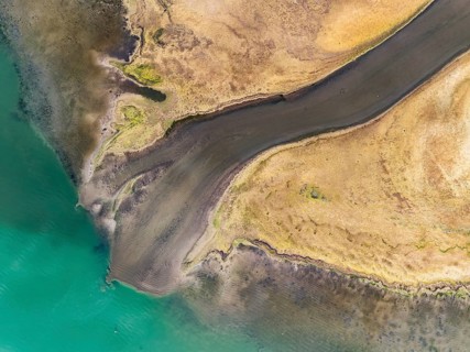
Aerial view, top-down view of the Radolfzell Aachen estuary at historic lows, low tide at water
BRK26J36_338

Aerial view, top-down view of the Radolfzell Aache...
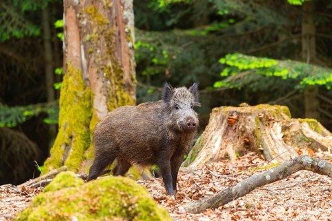
Wild boar (Sus scrofa) standing in a forest, Bavaria, Germany
BRK26J14_290

Wild boar (Sus scrofa) standing in a forest, Bavar...
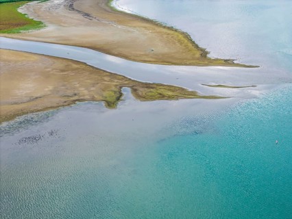
The Radolfzeller Aach flows into Lake Constance. The river carries little water. The water level in
BRK26J27_434

The Radolfzeller Aach flows into Lake Constance. T...
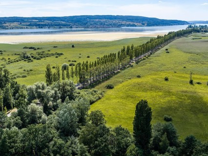
The 1, 300 meter long poplar alley on Reichenauer Damm connects the mainland near Constance with
BRK26J11_084

The 1, 300 meter long poplar alley on Reichenauer ...
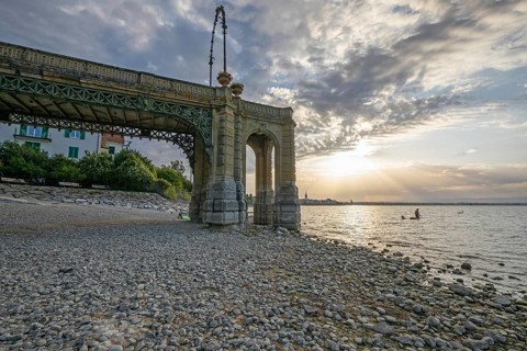
View from under the historic Schlosssteg pier at Lake Constance during sunrise, showcasing low
BRK26J06_224

View from under the historic Schlosssteg pier at L...
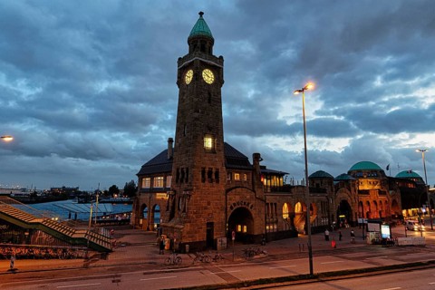
Gauge tower, clock tower on the Elbe, historical landmark at the St. Pauli Landing Bridges at dusk,
BRK26J30_209

Gauge tower, clock tower on the Elbe, historical l...
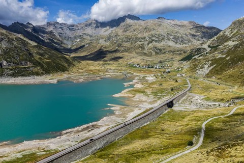
Lago di Montespluga. 1, 876 meter high reservoir in the Lombardy region of Italy on the Splügen
BRK26J03_061

Lago di Montespluga. 1, 876 meter high reservoir i...
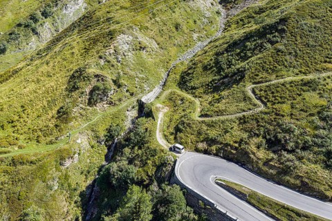
North side of the Splügen. The Splügen Pass lies at an altitude of 2, 114 metres above sea level
BRK26J10_212

North side of the Splügen. The Splügen Pass lies a...

Wild boar (Sus scrofa) standing in a forest, Bavaria, Germany
BRK26J21_414

Wild boar (Sus scrofa) standing in a forest, Bavar...
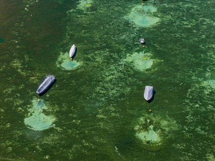
Drought on Lake Constance. The marina of Mannenbach-Salenstein in the canton of Thurgau is almost
BRK26J36_304

Drought on Lake Constance. The marina of Mannenbac...
Woman checking settings and temperature on gas boiler at home. Close up of female hand changing
BRK26J41_109

Woman checking settings and temperature on gas boi...
Female hand holding digital blood glucose meter after measuring blood sugar. Diabetes management,
BRK26J27_161

Female hand holding digital blood glucose meter af...
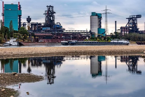
Extreme low water in the Rhine, the du-Ruhrort level was 130 cm at the time of recording, the
BRK26I73_310

Extreme low water in the Rhine, the du-Ruhrort lev...

Burial of conquistador Hernando de Soto in the Mississippi. The nighttime scene depicts how the
BRK26J23_203

Burial of conquistador Hernando de Soto in the Mis...
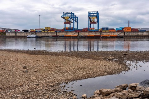
Extreme low water in the Rhine, the du-Ruhrort level was 130 cm at the time of recording, the
BRK26I98_393

Extreme low water in the Rhine, the du-Ruhrort lev...
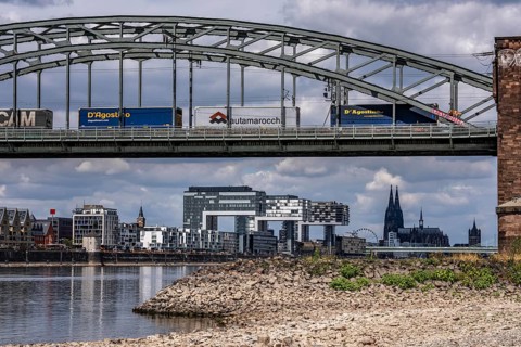
Low water in the Rhine near Cologne, view from the right bank of the Rhine across the Boller
BRK26I62_294

Low water in the Rhine near Cologne, view from the...
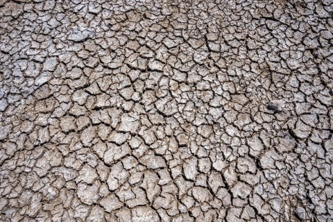
Dried riverbed, brittle floes, extreme low water, Rhine level at 41 cm, downward trend, freighters
BRK26I83_190

Dried riverbed, brittle floes, extreme low water, ...
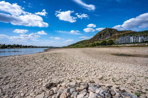
Low tide in the Rhine, dry riverbed, sandbanks, on the right bank of the Rhine near Bad Honnef,
BRK26I57_084

Low tide in the Rhine, dry riverbed, sandbanks, on...
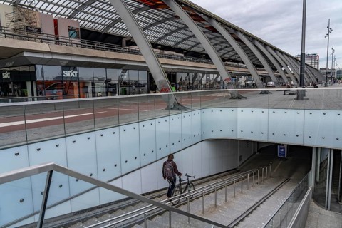
New bicycle car park at Amsterdam Central Station, IJboulevard, space for around 4000 bicycles,
BRK26J02_225

New bicycle car park at Amsterdam Central Station,...
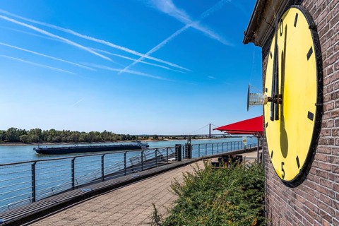
The extreme low water in the Rhine, near Emmerich on the border with the Netherlands, the water
BRK26I74_109

The extreme low water in the Rhine, near Emmerich ...
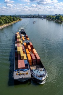
Low water in the Rhine near Cologne, looking north, Mülheimer Rheinbrücke, container freighter
BRK26I70_372

Low water in the Rhine near Cologne, looking north...
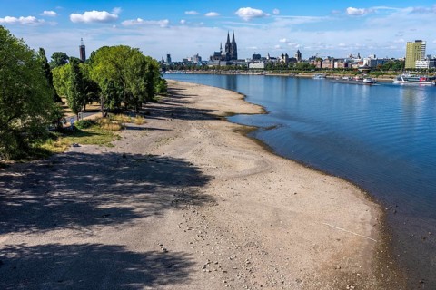
Low water in the Rhine near Cologne, view from the right bank of the Rhine at the Rheinpark to the
BRK26I74_187

Low water in the Rhine near Cologne, view from the...
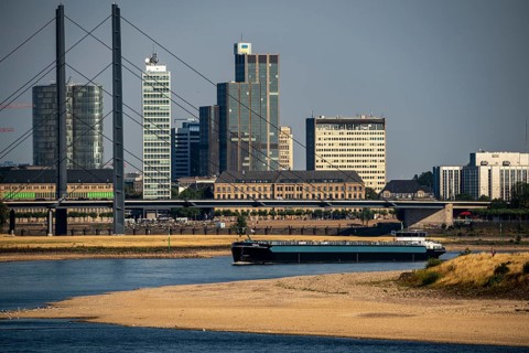
Rhine at Düsseldorf, extremely low water, Rhine level at 47 cm, falling, barge in front of the
BRK26I84_114

Rhine at Düsseldorf, extremely low water, Rhine le...
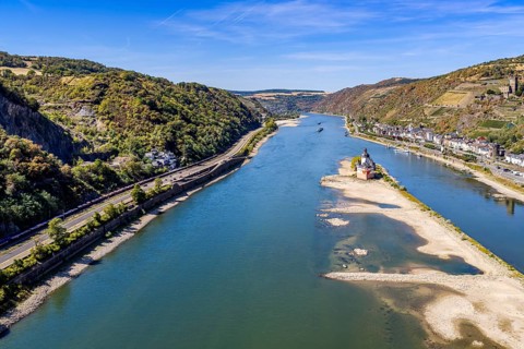
The level of the Rhine is at a low level. Rhine navigation is extremely affected by low tide levels
BRK26I62_318

The level of the Rhine is at a low level. Rhine na...
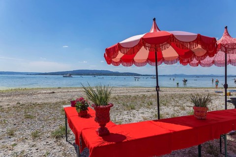
Beach on the island of Reichenau. The water level of Lake Constance is currently low for the time
BRK26I69_050

Beach on the island of Reichenau. The water level ...
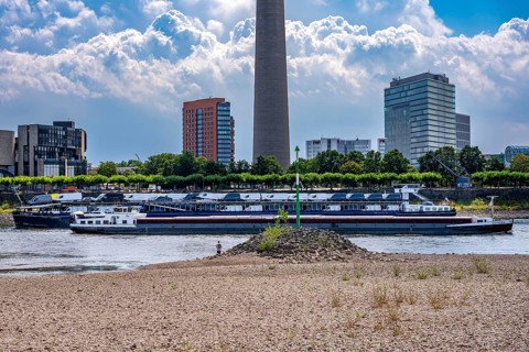
Extreme low tide, Rhine level at 41 cm, downward trend, freighters must sail with reduced cargo,
BRK26I69_328

Extreme low tide, Rhine level at 41 cm, downward t...
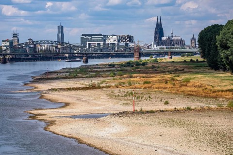
Low water in the Rhine near Cologne, view from the right bank of the Rhine over the Boller Wiesen,
BRK26I76_055

Low water in the Rhine near Cologne, view from the...
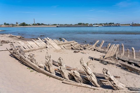
The extreme low tide in the Rhine causes many otherwise flooded objects to appear, here the wreck
BRK26I95_151

The extreme low tide in the Rhine causes many othe...
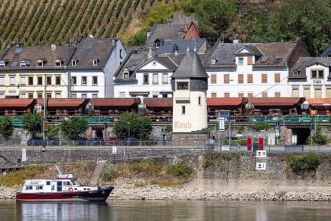
The Kaub level on the Middle Rhine is at a low level. Rhine navigation is extremely affected by low
BRK26I73_497

The Kaub level on the Middle Rhine is at a low lev...
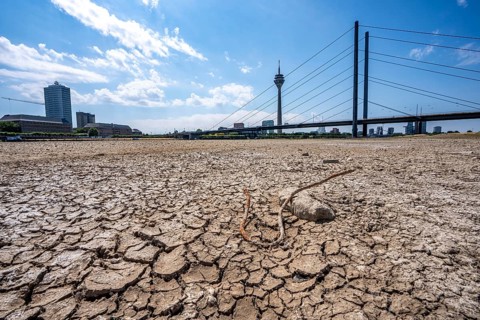
Dry riverbed, brittle floes, extreme low water, Rhine level at 41 cm, downward trend, freighters
BRK26I79_284

Dry riverbed, brittle floes, extreme low water, Rh...
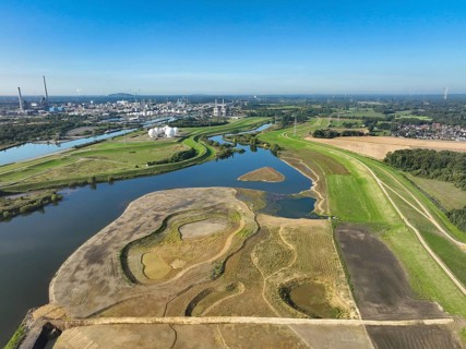
Haltern-Marl, North Rhine-Westphalia, Germany - Lippe, flood protection in the
BRK26I67_218

Haltern-Marl, North Rhine-Westphalia, Germany - Li...
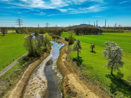
Dorsten, North Rhine-Westphalia, Germany - Renaturalised Rapphofs (also Rapphoffs) Mühlenbach,
BRK26I56_145

Dorsten, North Rhine-Westphalia, Germany - Renatur...
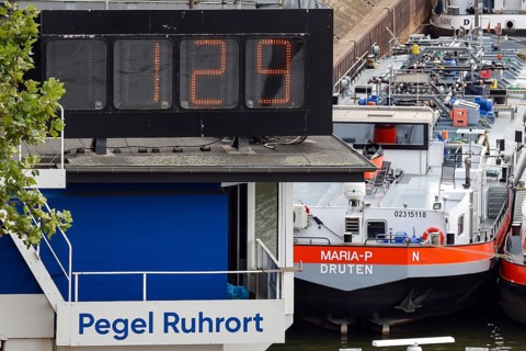
Duisburg, North Rhine-Westphalia, Germany - Low tide on the Rhine. Today, on 16.08.2026, it is only
BRK26I78_070

Duisburg, North Rhine-Westphalia, Germany - Low ti...
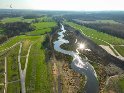
Castrop-Rauxel, Ruhr region, North Rhine-Westphalia, Germany - Restored Emscher, EMSCHERLAND
BRK26I99_191

Castrop-Rauxel, Ruhr region, North Rhine-Westphali...
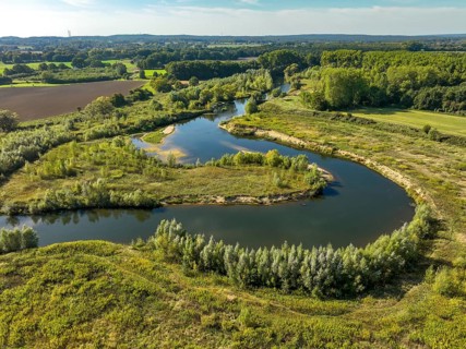
Datteln, North Rhine-Westphalia, Germany - Lippe, river and floodplain development of the Lippe
BRK26I66_481

Datteln, North Rhine-Westphalia, Germany - Lippe, ...
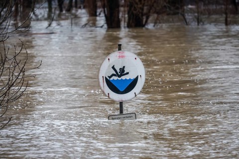
Duisburg, North Rhine-Westphalia, Germany - High water on the Rhine, trees are under water on the
BRK26I95_485

Duisburg, North Rhine-Westphalia, Germany - High w...
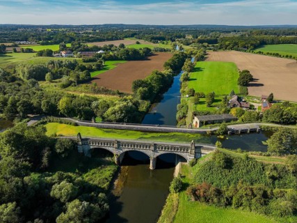
Olfen, North Rhine-Westphalia, Germany - Lippe, in front historic canal bridge Lippe Alte Fahrt,
BRK26I93_460

Olfen, North Rhine-Westphalia, Germany - Lippe, in...
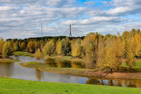
Wesel, Lower Rhine, North Rhine-Westphalia, Germany - autumn on the Lippe, trees with colorful
BRK26I65_171

Wesel, Lower Rhine, North Rhine-Westphalia, German...
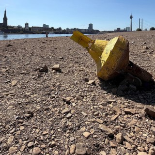
Extreme low tide on the Rhine, historic low in summer 2026, Rhine level falls below zero for the
BRK26I74_105

Extreme low tide on the Rhine, historic low in sum...
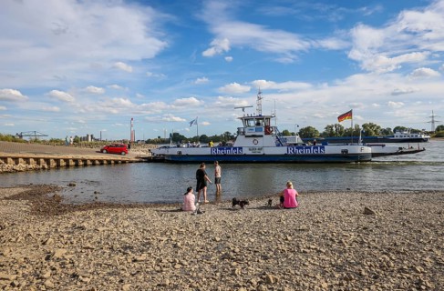
Duisburg, North Rhine-Westphalia, Germany, Dry riverbed in the Rhine at the Walsum ferry terminal,
BRK26I79_331

Duisburg, North Rhine-Westphalia, Germany, Dry riv...
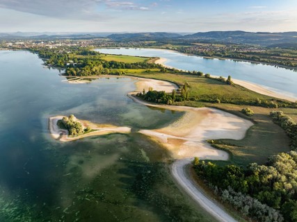
Aerial view of the Mettnau peninsula near Radolfzell on Lake Constance at historic lows, low tide
BRK26I55_416

Aerial view of the Mettnau peninsula near Radolfze...
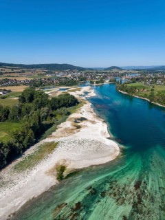
Aerial view of the Werd archipelago in the westernmost part of Lake Constance, historic low level
BRK26I70_363

Aerial view of the Werd archipelago in the western...
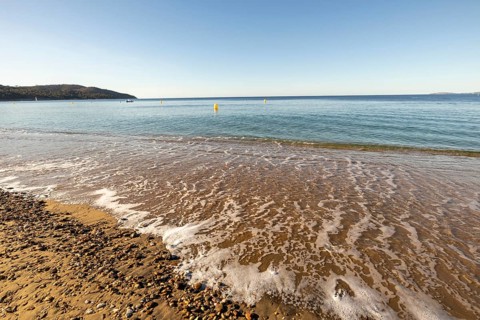
Low beach-level viewpoint over wet sand and sea foam with calm blue water, yellow buoys, distant
BRK26I73_021

Low beach-level viewpoint over wet sand and sea fo...

  • Page
  • of
  • 31