60686 résultats pour : peaks
- Page
-
- sur
- 607
Connectez-vous pour plus de résultats
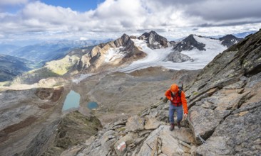
BRK25G09_446
Mountaineer with helmet on a rope-insured path, in...
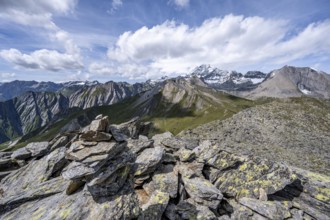
BRK25G10_007
Cairn on the summit of Kastenegg, view of pictures...
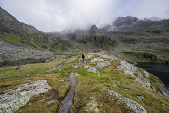
BRK25G10_131
Mountaineers on a hiking trail between the mountai...
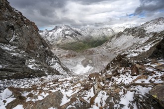
BRK25G10_161
View of steep rocky mountain landscape with fresh ...
BRK25G10_297
Sunset at the summit of the Becher, picturesque hi...
BRK25G10_323
Mountaineer on a rocky ridge on the Wilder Freiger...
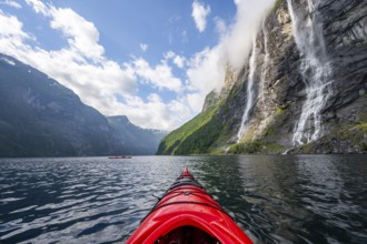
BRK25G11_323
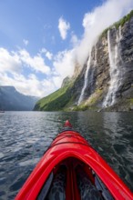
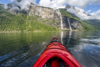
Kayak trip on the Geirangerfjord at the waterfall ...
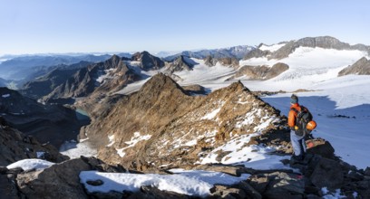
BRK25G11_324
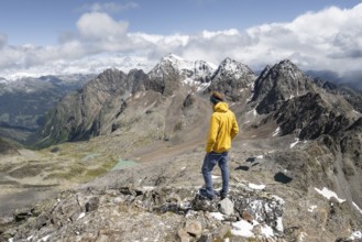
Mountaineer on the summit of Kastenegg, view of pi...
BRK25G11_460
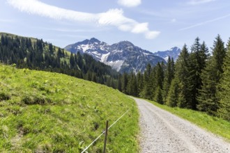
Gravel path through a green Alpine landscape with ...
BRK25G12_497
View on the ascent to the Bösen Weibl, mountain la...
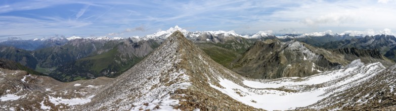
BRK25G13_005
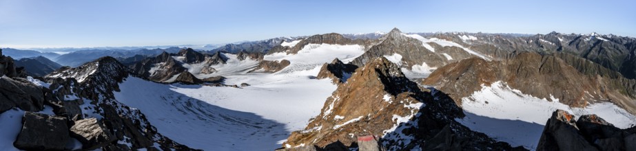
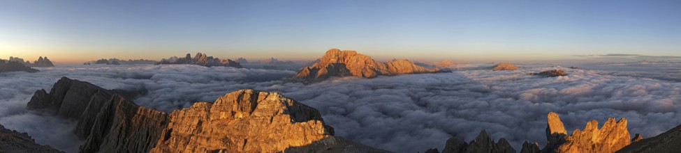
Mountain panorama at Wilder Freiger summit, pictur...
BRK25G16_107
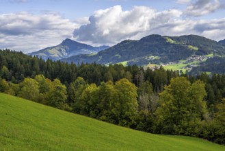
View to the Kitzbüheler Horn mountain in the alps ...
BRK25G16_257
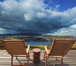
Comfortable wooden chair - chaise lounges stand on...
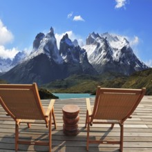
BRK25G19_482
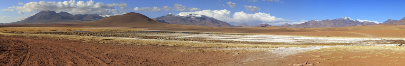
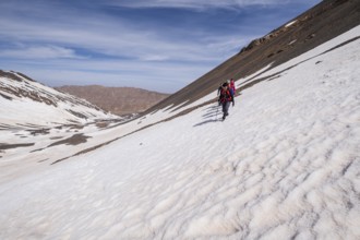
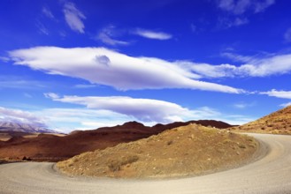
Mountain panorama in the Atacama Desert in Chile n...
BRK25G23_323
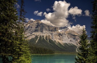
Emerald Lake and the Canadian Rocky Mountains as s...
BRK25G26_272
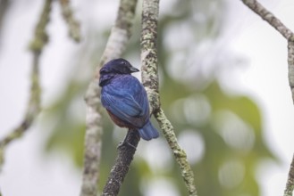
Chestnut-bellied euphonia on a tree branch from th...
BRK25G26_345
The picturesque River Gray is fed by the glacial m...
BRK25G26_353
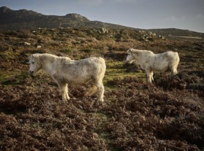
Wild horses can be seen throughout the seasons nea...
BRK25G29_161
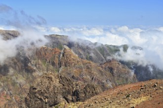
The highest peak of Madeira Island - Pico Ruyvu. B...
BRK25G29_179
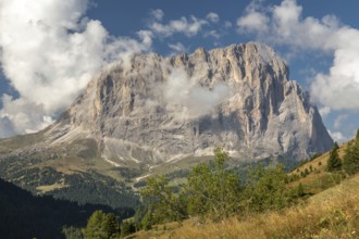
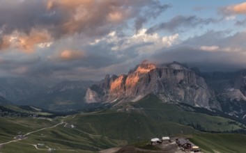
View from the Gardena Pass to the Sassolungo, Sout...
BRK25G29_360
Sacsayhuaman fortress, Inca ruins in Cusco or cuzc...
BRK25G29_368
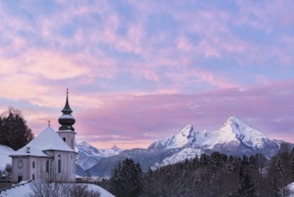
Watzmann at sunset with church, Bavaria, Berchtesg...
BRK25G34_188
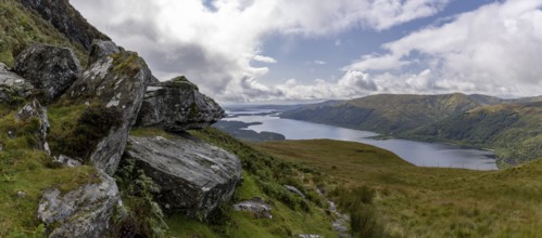
Rocks at the summit and views of Loch Lomond and t...
BRK25G34_440
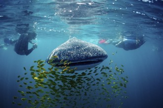
Whale shark, Rhincodon thypus, Mexico, Lake Cortez...
BRK25G03_055
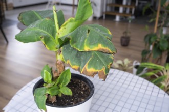
Problems in the cultivation of domestic plants Pro...
BRK25G05_213
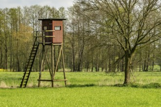
High stand for hunters in the meadow
BRK25G07_008
Mountains near of the Grimsel mountain pass, Berne...
BRK25G08_327
Kayak trip on the Geirangerfjord at the waterfall ...
BRK25G08_424
Kayak trip on the Geirangerfjord with waterfall Th...

BRK25G08_426
Mountaineer on the summit of Kastenegg, view of pi...
BRK25G08_485
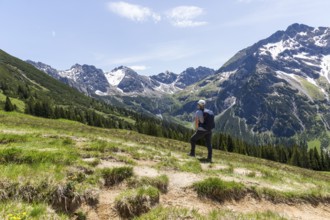
Hiker gazes at majestic snow-capped mountain peaks...
BRK25G09_308
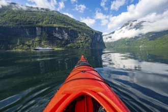
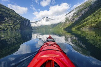
Kayak trip on the Geirangerfjord, tip of a red kay...
BRK25G10_278
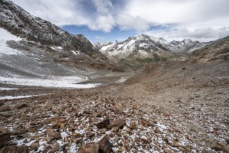
Mountain landscape with limestone cliffs between g...

BRK25G11_215
Flag of Georgia with cloth texture. Close up of Ge...
BRK25G12_317
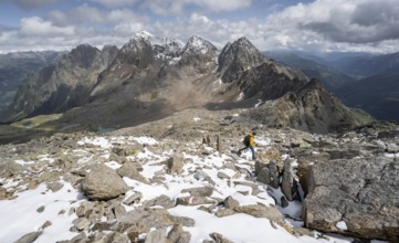
Mountaineer on the summit of Kastenegg, view of mo...
BRK25G13_204
gorgeous mountain landscape in deep winter with im...
BRK25G13_223
Lake Antholz
BRK25G13_266
Lake Antholz
BRK25G13_326
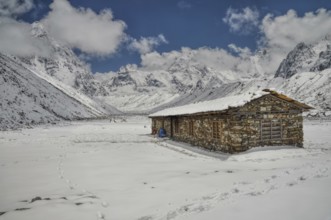
Cabin in high altitude in Himalayas mountains near...
BRK25G34_122
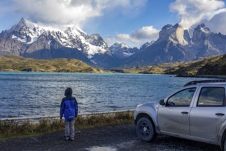
Pehoe lake in Torres del Paine chilean national pa...
BRK25G34_193
Jasper National Park, Canadian Rocky Mountains. Br...
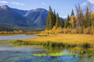
BRK25G34_196
Magic lakes Vermillon in the Rocky Mountains of Ca...
BRK25G34_208
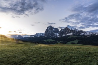
Panoramic view of the Langkofel Group from Seiser ...
BRK25G34_231
Panoramic view of Alazani valley and Caucasus Moun...
BRK25G34_482
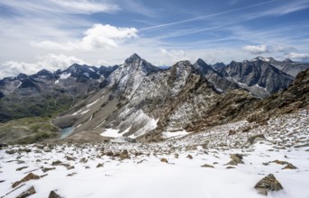
Snow covered peaks seen from Kala Patthar, Nepal, ...
BRK25G35_004
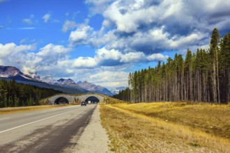
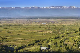
Summer in the south of Chile. Highway and bridge o...
BRK25G35_190
Summits of the Vosges landscape in Winters. France
BRK25G36_390
Two comfortable wooden sun loungers on the shore o...
BRK25G40_478
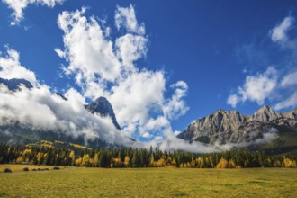
View of the beautiful mountain and large pasture a...
BRK25G46_427
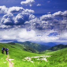
Panoramic view of Carpathians - summer meadow in m...
BRK25G47_479
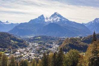
Berchtesgaden with Watzmann in autumn, Berchtesgad...
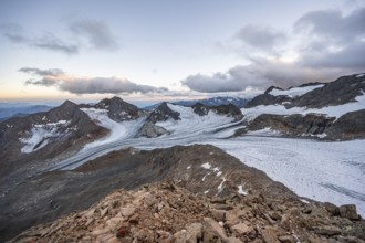
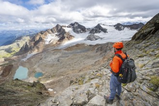
BRK25G08_460
View at the Kesselkeessattel, mountain landscape w...
BRK25G08_461
Summit Böses Weibl, view of mountain landscape wit...
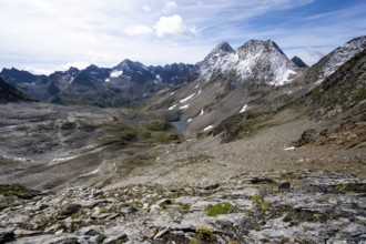
BRK25G08_484
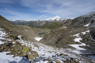
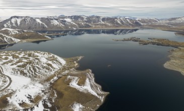
High mountain landscape, view of blue glacial lake...
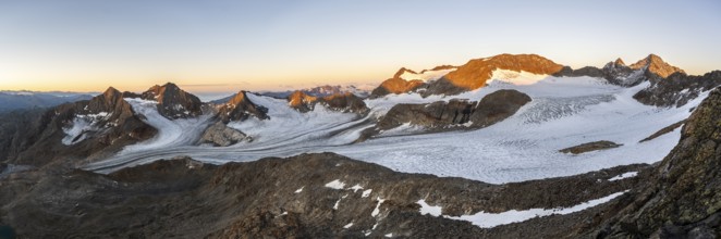
BRK25G10_010
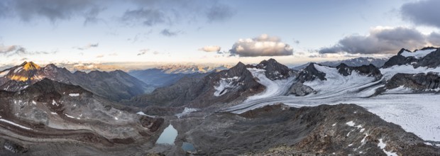
Mountain panorama over the Ridnaun valley, sunset ...
BRK25G11_080
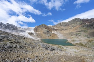
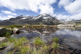
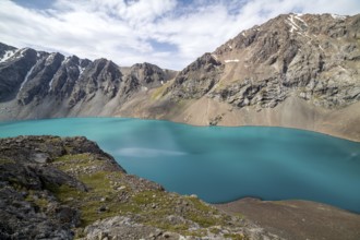
Mountain peaks reflected in a small mountain lake,...
BRK25G11_081
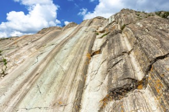
View of steep rocky mountain landscape with fresh ...
BRK25G12_234
Kayak trip on the Geirangerfjord, tip of a red kay...
BRK25G12_260
Mountain landscape with limestone cliffs between g...
BRK25G13_064
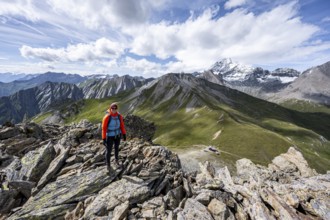
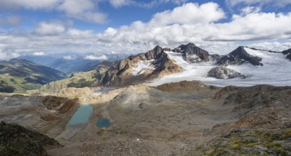
Mountaineer in front of picturesque high mountain ...
BRK25G13_139
Sunrise
BRK25G16_106
Aerial view of the Snowy Andes and Maule Lagoon at...
BRK25G16_259
Concept of hiking. Auroral sunny day in Canmore. T...
BRK25G16_301
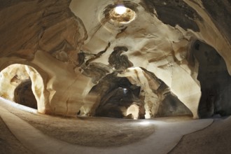
Israel National Park. Bell caves of Beit Guvrin. P...
BRK25G20_046
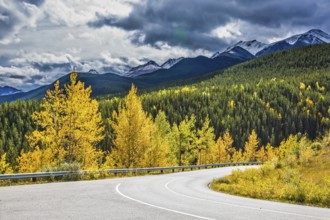
Gorgeous stormy sky in October. Road among autumn ...
BRK25G21_004
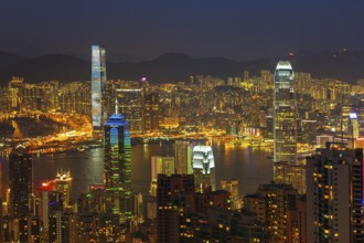
Hong Kong at night. View of Victoria Harbour and H...
BRK25G22_333
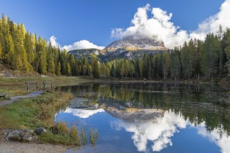
Autumn morning at Lake Antorno under the Three Pea...
BRK25G22_402
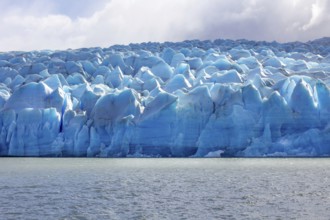
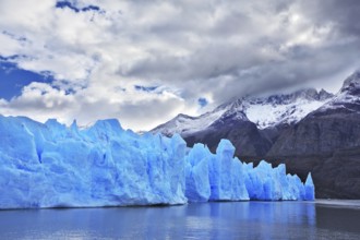
Glacier and lake Grey, Torres del Paine national p...
BRK25G23_278
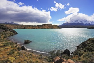
Magic turquoise lake Pehoe national park Torres de...
BRK25G23_332
Atlas mountain range, morocco
BRK25G26_330
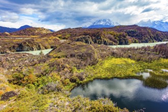
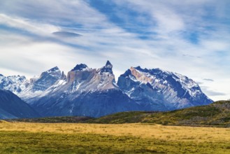
The magnificent national park Torres del Paine. Th...
BRK25G28_470
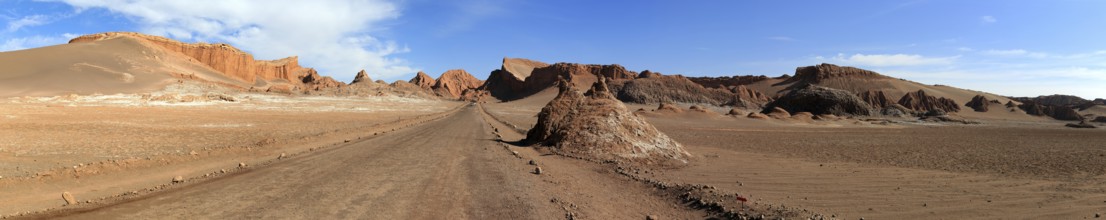
Valle de la Luna in the Atacama Desert in Chile
BRK25G29_132
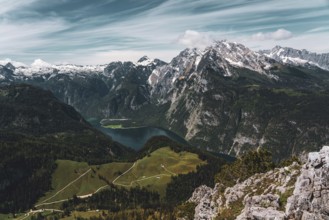
View of the Königssee in Bavaria, Germany, Europe
BRK25G29_147
Great St Bernard Pass in autumn.Great St Bernard P...
BRK25G29_162
Chilean Patagonia. National Park Torres del Paine....
BRK25G29_254
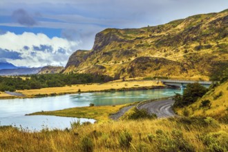
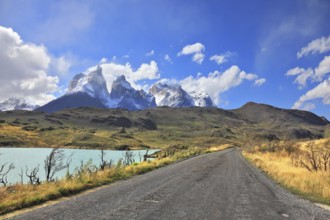
The gravel road along the shore of Lake Pehoe. The...

BRK25G00_118
Three fresh red radishes are arranged side by side...

BRK25G01_090
Georgian spices in spoons, on a wooden background,...

BRK25G03_015
Aged man young happy guy with hands clasped arm wr...
BRK25G03_375
The eight-thousander Cho Oyu, the sixth-highest mo...
BRK25G04_399
View from the summit ridge of the Mörschieder Burr...
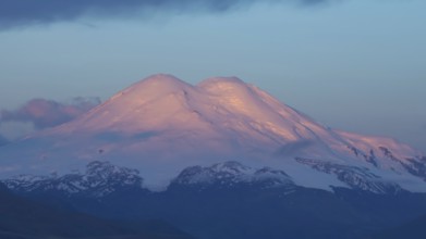
BRK25G06_025
Beautiful view of Mount Elbrus at sunrise, North C...
BRK25G09_143
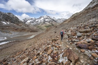
Mountaineer on a hiking trail, rocky mountain land...
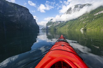
BRK25G09_244
Kayak trip on the Geirangerfjord, tip of a red kay...
BRK25G09_355
Mountaineer on steep rocky hiking trail, descent f...
BRK25G10_460
View at Kesselkeessattel, mountain landscape with ...
BRK25G11_227
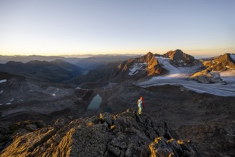
Picturesque high mountain landscape at sunrise wit...
BRK25G11_378
Mountain panorama, summit Böses Weibl, view of mou...
BRK25G11_500
Mountaineer with helmet in high mountain landscape...
BRK25G12_125
Mountaineer in rocky mountain landscape, descent f...
BRK25G12_135
Mountaineer in rocky mountain landscape, at the su...
BRK25G13_089
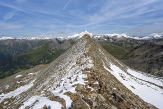
Mountaineer on hiking trail in steep rocky mountai...
BRK25G13_176
Landscape of Ala-Kul lake in Tien Shan mountains, ...
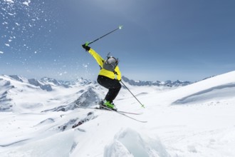
BRK25G30_483
A skier in full sports equipment jumps into the ab...
BRK25G30_495
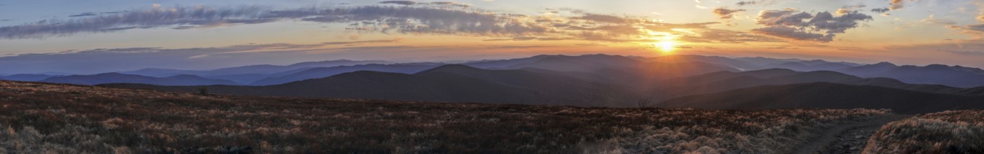
Scenic panorama of sunset over Ukrainian landscape...
BRK25G31_014
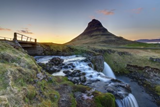
Kirkjufell with Kirkjufellsfoss in Iceland at suns...
BRK25G34_244
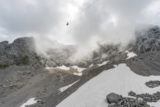
Beautiful hike and climb to the Zugspitze near Ehr...
BRK25G35_017
Panoramic view of Sella group mountain, Val di Fas...
BRK25G40_002
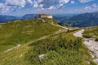
Beautiful mountain tour on the Watzmann in the Ber...
BRK25G40_095
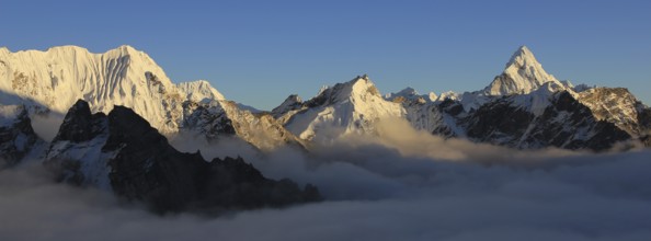
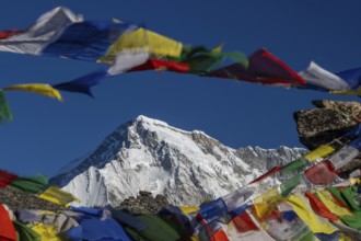
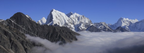
Sea of fog and peaks of Ama Dablam, Cholatse and T...
- Page
-
- sur
- 607