42 résultats pour : new map
- Page
-
- sur
- 1
Connectez-vous pour plus de résultats
LZT20A46_071
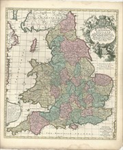
Map, A new mapp of the kingdome of England, Copper...
LZT20A47_130
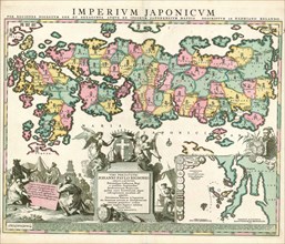
Map, A new map of Libya or old Africk shewing its ...

LZT19B45_290
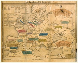
Bohn, François, KAMPEN, N.G. FROM. State and geogr...
LZT19B49_166
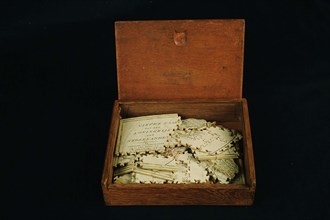
Geography puzzle in coffin: map with the Netherlan...
LZT19B36_249
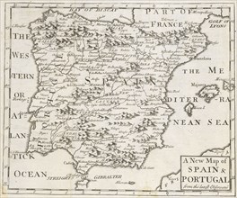
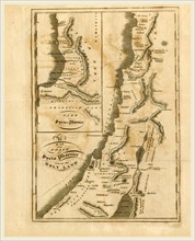
A new map of Spain and Portugal, from the latest o...
LZT19A96_326
A Full description of the Daguerreotype Process: A...
LZT16A32_101
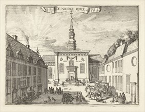
View of the New Church in Haarlem, The Netherlands...
LZT16A00_222
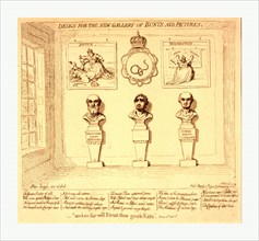
Design for the new gallery of busts and pictures, ...
LZT16A63_030
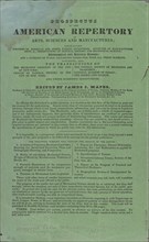
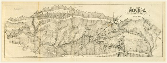
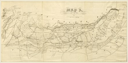
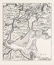
Report on the new map of Maryland, 1836, 19th cent...
LZT16A63_096
The History of the Decline and Fall of the Roman E...
LZT16A61_448
Ancient History of the Egyptians A new edition, r...
LZT16A62_228
Map New York, The Boston School Atlas, US, America...
LZT16A62_145
New York, A Geographical Description of the United...
LZT16A62_154
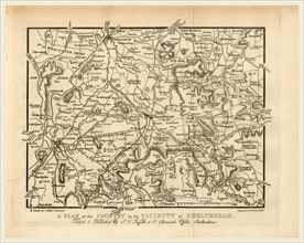
Map, Griffith's new historical description of Chel...
LZT16A62_137
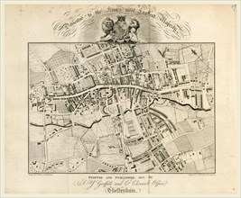
Map, Griffith's new historical description of Chel...
LZT16A63_033
Report on the new map of Maryland, 1836, 19th cent...
LZT16A63_035
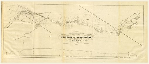
Choptank and transquaking canal, Report on the new...
LZT16A63_045
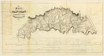
Map Rail Road from Frederick Town to Pennsylvania ...
LZT16A62_088
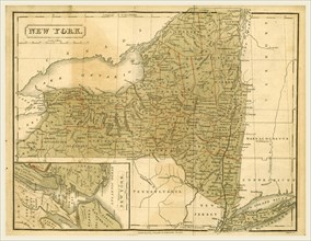
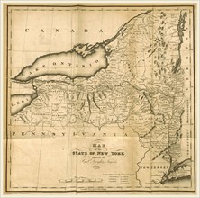
Map of the State of New York, 1823, 19th century e...
LZT16A63_147
Map of New York, 1728, History of the New Netherla...

LZT16A62_076
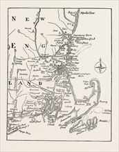
Map of the southern part of New England, 1823, 19t...
LZT16A63_047
Report on the new map of Maryland, 1836, 19th cent...

LZT13A39_222
CAPTAIN SMITH, FROM THE PORTRAIT IN HIS VIRGINIA, ...
LZT13A39_032
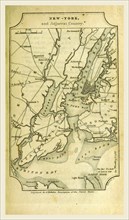
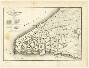
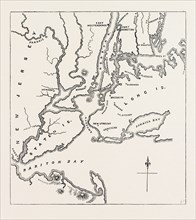
MAP OF NEW YORK ABOUT THE MIDDLE OF THE EIGHTEENTH...
LZT13A39_348
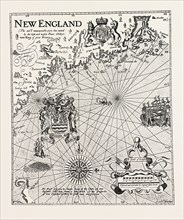
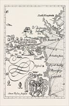
MAP OF NEW ENGLAND AT THE BEGINNING OF THE EIGHTEE...
LZT13A39_238
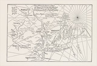
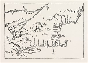
PART OF CAPTAIN J. SMITH'S MAP OF NEW ENGLAND, UNI...
LZT13A39_282
THE EARLIEST MAP OF THE NEW NETHERLANDS, US, USA, ...
LZT13A39_237
PART OF CAPTAIN J. SMITH'S MAP OF NEW ENGLAND. FRO...
LZT13A39_355
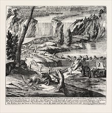
NIAGARA AND THE BEAVER DAMS. From Moll's New and E...
LZT13A39_302
NEW ENGLAND IN 1684, UNITED STATES OF AMERICA, fro...
LZT13A36_348
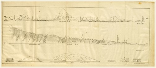
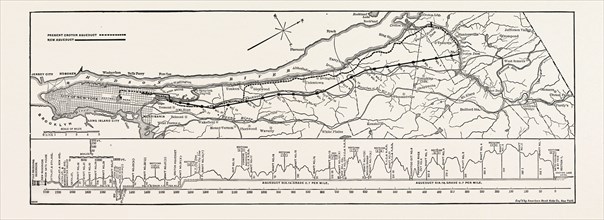
MAP AND PROFILE OF THE NEW AQUEDUCT, NEW YORK CITY...
LZT13A39_098
MAP OF NEW YORK AND VICINITY, 1776, UNITED STATES ...
LZT13A39_291
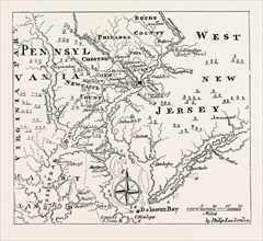
MAP OF PENNSYLVANIA AND WEST NEW JERSEY, From Thom...
LZT13A25_475
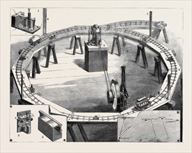
PROFESSORS AYRTON AND PERRY'S NEW ELECTRIC RAILWAY...
LZT13A17_335
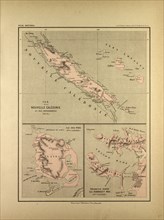
MAP OF NEW CALEDONIA
LZT13A20_233
MAP OF INDIA, NEW CALEDONIA, TAHITI, TUAMOTU ARCHI...
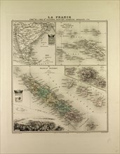
LZT13A00_051
New South Wales Gotha, Justus Perthes, 1872, Atlas...
LZT13A00_049
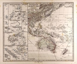
Polynesia Oceania Gotha, Justus Perthes, 1872, Atl...
LZT13A00_050
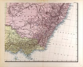
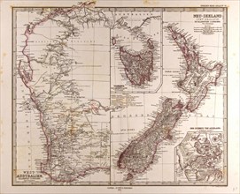
New Zealand Australia Gotha, Justus Perthes, 1872...
LZT13A17_086
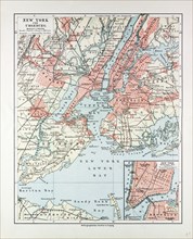
MAP OF NEW YORK, UNITED STATES OF AMERICA, 1899
LZT13A16_498
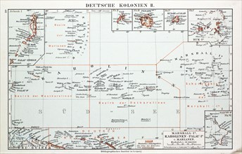
MAP OF GERMAN COLONIES, GERMAN NEW GUINEA, 1899
LZT13A16_497