72 résultats pour : maps showing
- Page
-
- sur
- 1
Connectez-vous pour plus de résultats
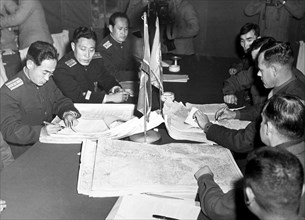
ARP24A00_416
Col. James Murray, Jr., USMC, and Col. Chang Chun ...
ARP23A10_113
Illustration showing a map of the garden of Eden, ...
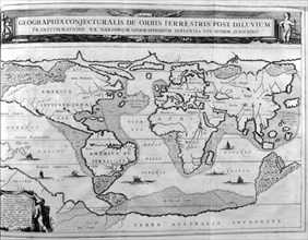
ARP23A10_123
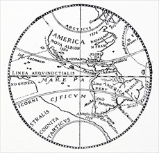
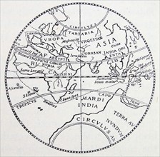
World map showing land formations and continents a...
ARP23A10_415
Illustration showing a plan of the exhibition area...
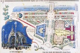
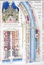
ARP23A10_414
Illustration showing a plan of the exhibition area...
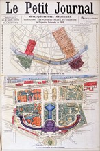
ARP23A10_413
Illustration showing a plan of the exhibition area...
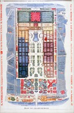
ARP23A10_412
Illustration showing a plan for the Exposition Uni...
ARP23A10_063
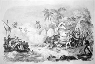
19th century illustration showing the death of Cap...
ARP23A10_401
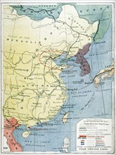
Map showing European presence in China during the ...
ARP18A07_288
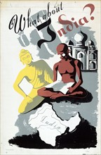
What About India? By Robert Merlin
ARP18A19_450
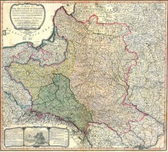
Map showing the partition of the Kingdom of Poland...
ARP18A27_106
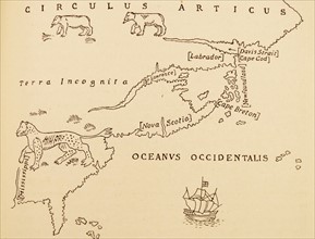
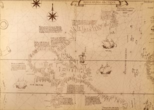
Part of North America, showing Sebastian Cabot's v...
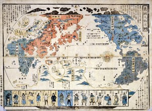
ARP18A29_166
Colour Japanese diptych print showing a map of the...
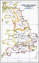
ARP18A27_202
Map showing the Heptarchy (from the Greek hepta, s...
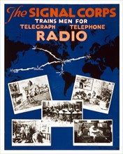
ARP18A08_053
U.S. Army Signal Corps recruiting poster
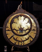
ARP18A12_474
Instruments for Mecca and for mosques
ARP18A16_400
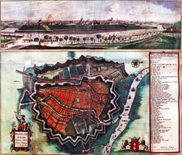
Fortification of Danzig

ARP18A19_455
Map showing the fortifications of Danzig; Dated to...
ARP18A27_111
The Silver map of the world.
ARP18A27_112
The Silver map of the world.
ARP18A02_324
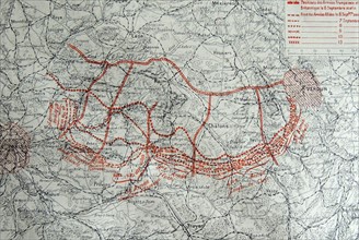
Map showing the progressive positions the French a...
ARP18A29_204
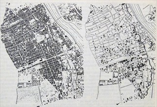
Street map showing the Ground Zero area of Lower M...
ARP18A20_223
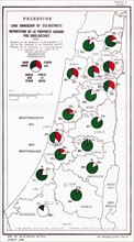
Map showing Palestine Land Ownership by Sub-Distri...
ARP17A37_171
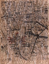
Map showing the central parts of Warsaw
ARP17A24_360
16th century Spanish map showing the Americas
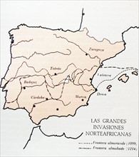
ARP17A26_098
Map showing moslem invasions of Spain between 1099...
ARP17A24_273
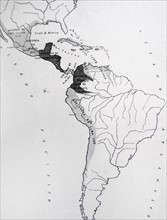
17th century South and Central American empire.
ARP17A24_398
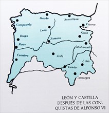
Map showing the Spanish provinces of Leon and Cast...
ARP17A28_025
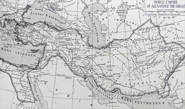
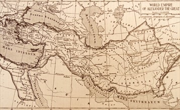
Map showing the Empire of Alexander the Great
ARP17A26_265
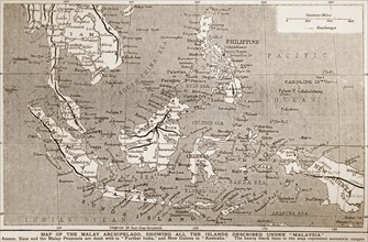
1900 Map of south East Asia
ARP17A26_082
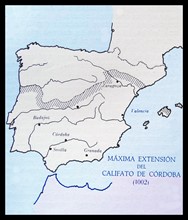
Spanish map showing the Islamic Caliphate of Cordo...
ARP17A26_267
Map showing the empire of the Greek conqueror
ARP17A25_069
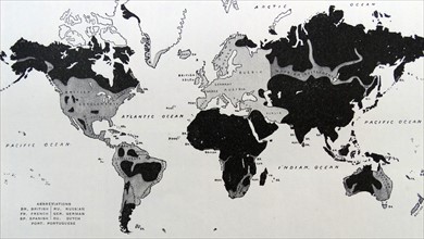
Map showing the expansion of the white races throu...
ARP17A28_109
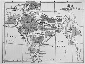
Map showing the British Control over India
ARP17A17_375
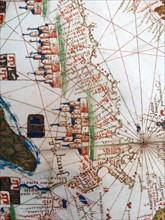
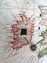
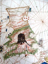
Renaissance map of Europe, Jacopo Russo, 1528, sho...
ARP17A17_376
Renaissance map of Europe, Jacopo Russo, 1528, sho...
ARP17A17_355
Renaissance map of Europe, Jacopo Russo, 1528,
ARP17A17_335
Renaissance map of Europe, Jacopo Russo, 1528,
ARP17A17_346
Renaissance map of Europe, Jacopo Russo, 1528,
ARP17A17_336
Renaissance map of Europe, Jacopo Russo, 1528,
ARP17A17_349
Renaissance map of Europe, Jacopo Russo, 1528,
ARP17A17_350
Renaissance map of Europe, Jacopo Russo, 1528,
ARP17A17_377
Renaissance map of Europe, Jacopo Russo, 1528, sho...
ARP17A17_344
Renaissance map of Europe, Jacopo Russo, 1528,
ARP17A17_347
Renaissance map of Europe, Jacopo Russo, 1528,
ARP17A17_334
Renaissance map of Europe, Jacopo Russo, 1528,
ARP17A17_348
Renaissance map of Europe, Jacopo Russo, 1528,
ARP17A17_338
Renaissance map of Europe, Jacopo Russo, 1528,
ARP17A17_337
Renaissance map of Europe, Jacopo Russo, 1528,
ARP17A17_351
Renaissance map of Europe, Jacopo Russo, 1528,
ARP17A17_339
Renaissance map of Europe, Jacopo Russo, 1528,
ARP17A17_352
Renaissance map of Europe, Jacopo Russo, 1528,
ARP17A11_353
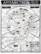
Antarctica map showing the various national zones ...
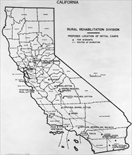
ARP16A00_471
Map of California showing proposed rural rehabilit...
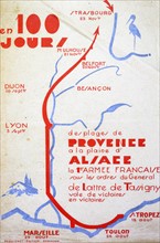
ARP15A06_496
Map showing the victorious World War Two, route of...
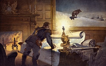
ARP15A07_072
Satirical Puck cartoon called "The Wolf"

ARP11A02_491
Hubble composite image
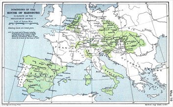
ARP11A01_047
Map showing the Habsburg Empire
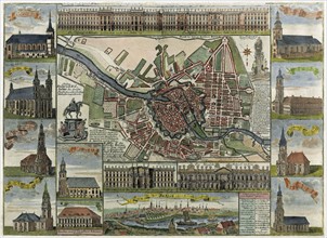
ARP11A00_206
Map of Berlin in the late 17th century
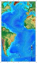
ARP11A01_296
Map showing ocean floor with the Mid-Atlantic ridg...
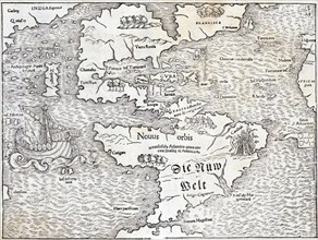
ARP11A00_026
Map of the New World by Sebastian Munster
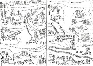
ARP10A03_471
He, Carte de navigation
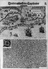
ARP10A00_121
De Bry, L'arrivée des anglais en Virginie
ARP07106_510001270
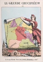
Franco Prussian War 1870
ARP07103_460000258
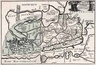
Map showing supposed location of Paradise
ARP07102_390006435
Launch site of the space craft "Columbiad"
ARP07100_390004020
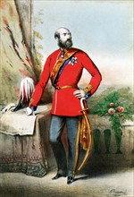
George William Frederick Charles, 2nd Duke of Camb...
ARP07098_390002665
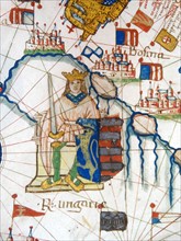
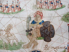
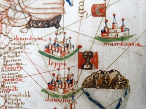
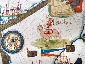
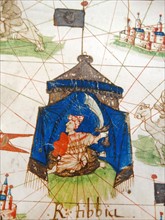
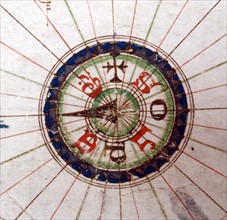
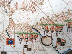
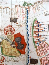
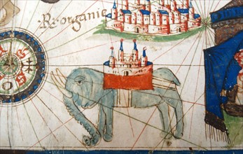
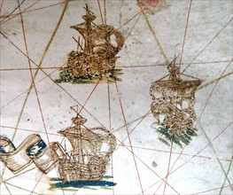
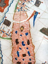
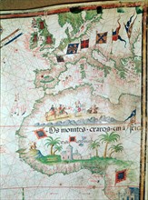
Portuguese map of 1558 by Bastian Lopez showing Eu...
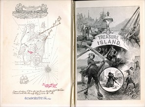
ARP07098_390002913
Robert Louis Stevenson
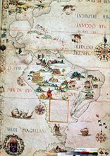
ARP07098_390003127
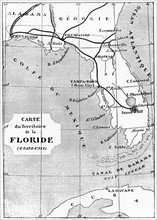
French map of Central and South America
ARP07098_390003134
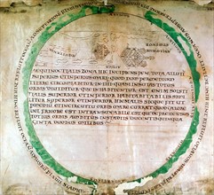
Anglo-Saxon map of 900s

ARP07093_390000153