41 résultats pour : land survey
- Page
-
- sur
- 1
Connectez-vous pour plus de résultats

BRK24B83_436
Desolate fields of withered crops clutching at ari...

BRK24A53_325
Construction site redevelopment of Galle Face hote...
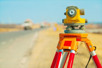
BRK23H27_089
Theodolite close up

BRK23H39_091
Theodolite close up
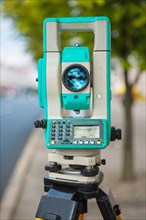
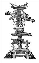
BRK23H27_080
Close-up of a modern theodolite

BRK23F68_123
Soldiers surveying the landscape amidst explosions...

BRK23F90_321
Soldiers surveying the landscape amidst explosions...

BRK23F78_316
Soldiers surveying the landscape amidst explosions...

BRK23F84_324
Soldiers surveying the landscape amidst explosions...
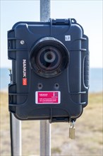
BRK23F16_408
Intelligent Data surveillance traffic survey camer...
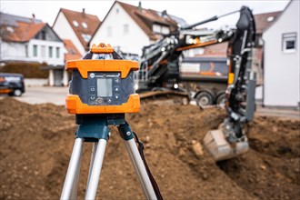
BRK23C74_447
Survey equipment for excavated earth on constructi...
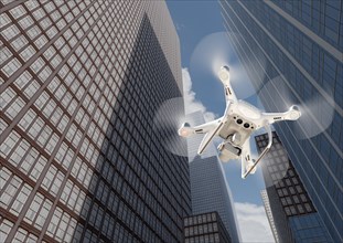
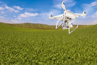
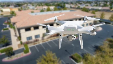
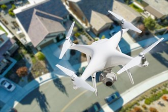
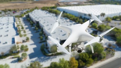
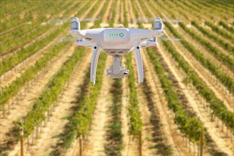
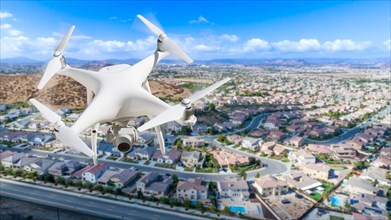
BRK23B80_042
Unmanned aircraft system quadcopter drone in the a...
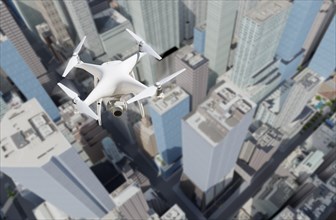
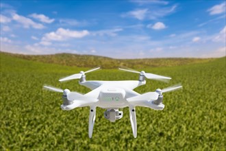
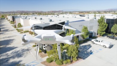
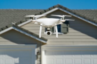
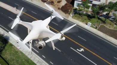
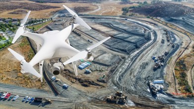
BRK23B89_139
Unmanned aircraft system quadcopter drone in the a...
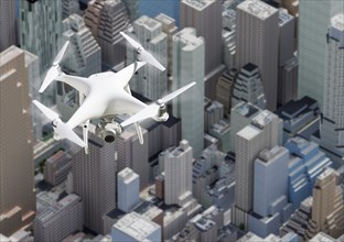
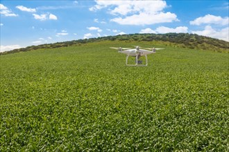
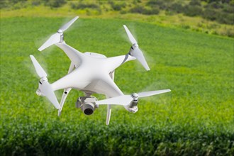
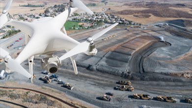
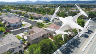
BRK23B86_044
Unmanned aircraft system quadcopter drone in the a...
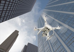
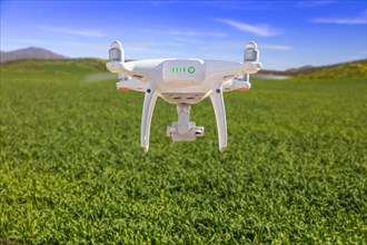
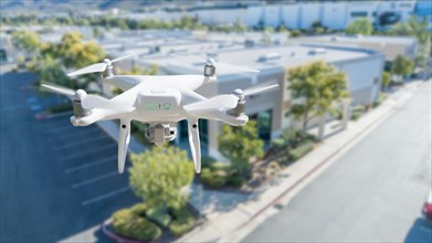
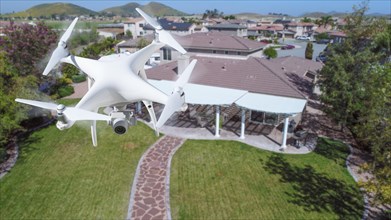
BRK23B92_223
Unmanned aircraft system quadcopter drone in the a...
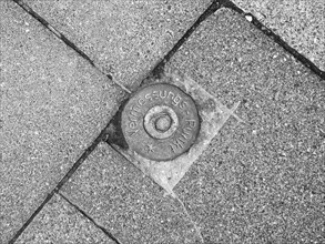
BRK23A31_136
Survey point
BRK22D83_147
Theodolite, angle measuring instrument in geodesy
BRK22C43_249
Drone unmanned aircraft flying and gathering data ...
BRK22C43_446
Drone unmanned aircraft flying and gathering data ...
BRK22C56_145
Unmanned aircraft system quadcopter drone in the a...
BRK22C82_351
Unmanned aircraft system quadcopter drone in the a...
BRK22C88_147
Drone unmanned aircraft flying and gathering data ...
BRK22C88_354
Drone unmanned aircraft flying and gathering data ...
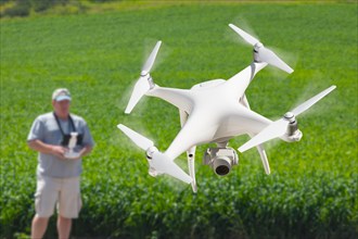
BRK22C42_148
Unmanned aircraft system quadcopter drone in the a...
BRK22C43_053
Unmanned aircraft system quadcopter drone in the a...
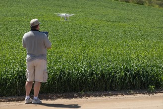
BRK22C57_044
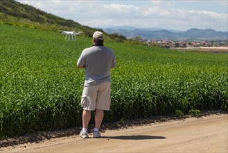
Pilot flying unmanned aircraft drone gathering dat...
BRK22C71_048
Pilot flying unmanned aircraft drone gathering dat...
BRK22C85_051
Pilot flying unmanned aircraft drone gathering dat...
BRK22C49_047
Unmanned aircraft system quadcopter drone in the a...
BRK22C60_347
Drone unmanned aircraft flying and gathering data ...
BRK22C75_444
Unmanned aircraft system quadcopter drone in the a...
BRK22C77_049
Unmanned aircraft system
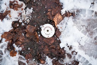
BRK22C75_087
Vermessungspunkt
BRK22C31_049
Unmanned aircraft system
BRK22C25_046
Unmanned aircraft system
BRK22C33_049
Unmanned aircraft system
BRK22C20_347
Unmanned aircraft system
BRK22C29_051
Unmanned aircraft system
BRK22C35_444
Unmanned aircraft system

BRK19F06_245
Ordnance Survey
BRK18A79_237