37 résultats pour : english coast
- Page
-
- sur
- 1
Connectez-vous pour plus de résultats
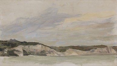
LZT20A48_311
English coast in gray, oil on board, 19.5 x 34 cm,...

LZT20A43_043
Viola Surviving the Shipwreck off the Coast of Ill...
LZT20A18_235
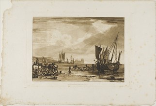
Scene on the French Coast, plate 4 from Liber Stud...
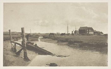
LZT20A31_098
A Tidal River, East Coast, 1880/90, printed April ...
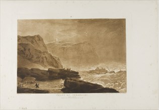
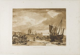
LZT20A18_254
Coast of Yorkshire, plate 24 from Liber Studiorum,...
LZT20A27_382
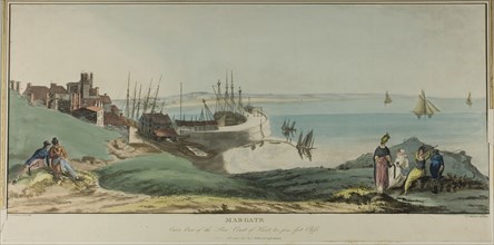
Margate, Outer View of the Pier, Coast of Kent, an...
LZT20A02_205
Scene on the French Coast, plate 4 from Liber Stud...
LZT16A27_430
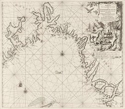
Sea chart of the Danish Islands, part of the coast...
LZT16A27_448
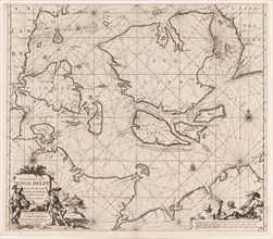
Sea chart of the coasts of England, Scotland and I...
LZT16A27_384
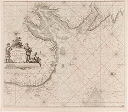
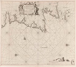
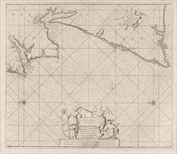
Sea map of part of the south coast of Portugal and...
LZT16A27_441
Sea chart of part of the coast of Ireland, England...
LZT16A27_428
Sea chart of part of the coast of Norway, print ma...
LZT16A27_450
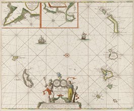
Sea chart of the Canary Islands, print maker: Jan ...
LZT16A27_350
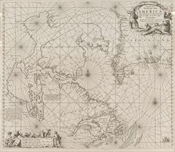
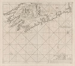
Sea chart a part of the coast of northern Canada a...
LZT16A27_425
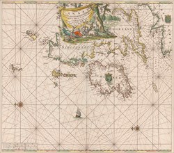
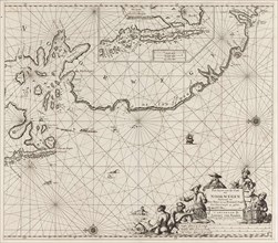
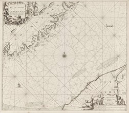
Sea chart of the east coast of England, with the m...
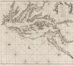
LZT16A27_352
Sea chart of part of the coast of Virginia, Jan Lu...
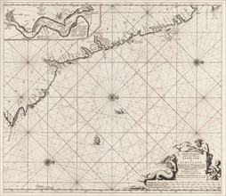
LZT16A27_424
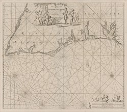
Sea chart of part of the northeast coast of Englan...
LZT16A27_432
Sea chart of the coast of Norway, Jan Luyken, Joha...
LZT16A27_423
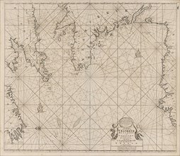
Sea chart of part of north east coast of Scotland ...
LZT16A27_433
Sea chart of part of the coast of Norway and Jutla...
LZT16A27_365
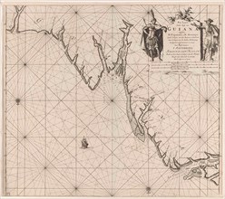
Sea chart of part of the coast of Suriname and Guy...
LZT16A27_374
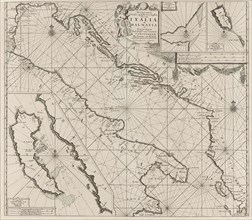
Map of the coasts of the Adriatic, print maker: An...
LZT16A27_337
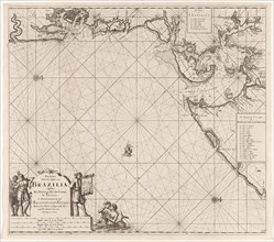
Sea chart of part of the coast of Brazil in the Mo...
LZT16A27_336
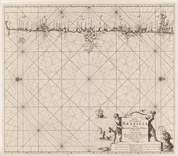
Sea map of part of the coast of Brazil, Jan Luyken...
LZT16A27_396
Map of part of the south coast of Ireland, Jan Luy...
LZT16A27_386
Sea map of part of the coast of Portugal, Jan Luyk...
LZT16A70_053
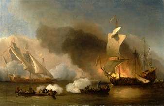
An Action off the Barbary Coast with Galleys and E...
![On the Welsh Coast Seascape Dated, upper left: "19 July [6 or 8; symbol historically an 8]2, John](https://lres.photo12.com/th/t-lzt16a72_229.jpg)
LZT16A72_229
On the Welsh Coast Seascape Dated, upper left: "19...
LZT16A72_206
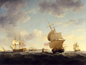
Shipping in the English Channel English Shipping i...
LZT13A29_424
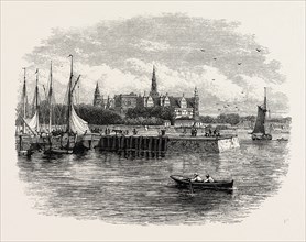
ELSINORE. Helsingør often known in English-speaki...
LZT13A30_194
STEPHENSON'S IRON TUNNEL RAILWAY BRIDGE, CONWAY, 1...
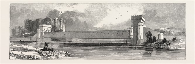
LZT13A40_067
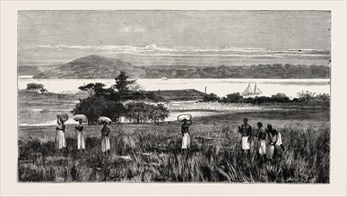
AN ENGLISH TRADING SETTLEMENT AT EMBOMA, CONGO RIV...
LZT13A30_198
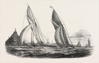
ROYAL WESTERN YACHT CLUB, IN MOUNT'S BAY, "THE GRA...
LZT13A30_131
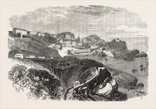
ILFRACOMBE, ON THE NORTH COAST OF DEVON, UK, 1867
LZT13A34_207
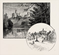
WARKWORTH CASTLE (LEFT), THE VILLAGE OF WARKWORTH ...
LZT13A30_259
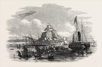
THE ROYAL YACHTS OFF ST. MICHAEL'S MOUNT
LZT13A19_375