60060 résultats pour : alpine landscape
- Page
-
- sur
- 601
Connectez-vous pour plus de résultats
BRK25G05_462
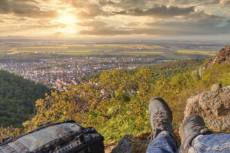
Experience nature hiking in the Harz Bodetal
BRK25G08_259
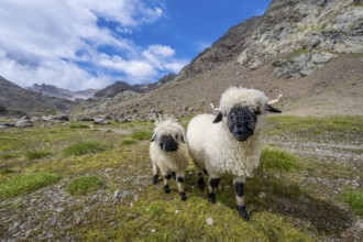
Two Valais Blacknose sheep (Ovis gmelini aries), h...
BRK25G08_480
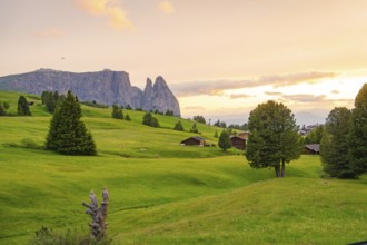
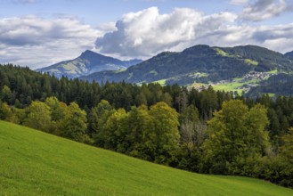
Green valley with trees and huts, mountains in the...
BRK25G09_083
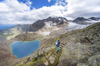
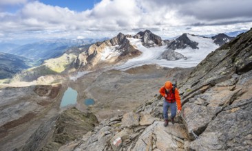
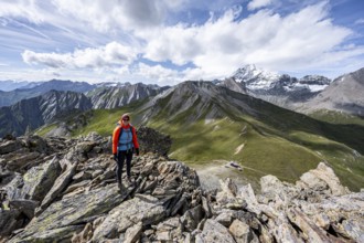
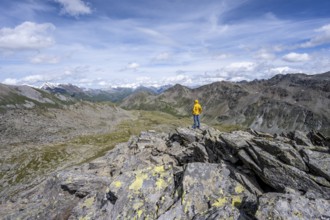
Mountaineer on hiking trail in front of dramatic h...
BRK25G09_446
Mountaineer with helmet on a rope-insured path, in...
BRK25G10_007
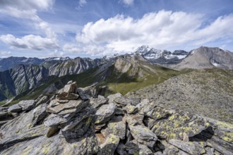
Cairn on the summit of Kastenegg, view of pictures...
BRK25G10_131
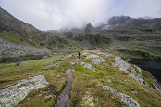
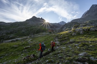
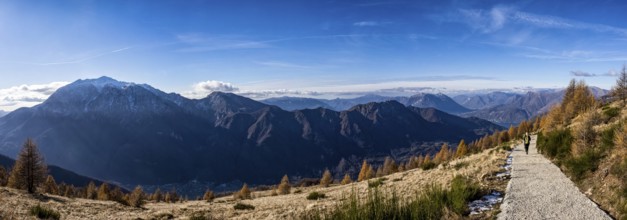
Mountaineers on a hiking trail between the mountai...
BRK25G10_161
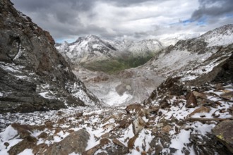
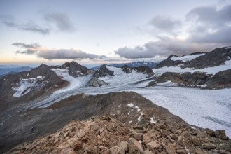
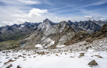
View of steep rocky mountain landscape with fresh ...
BRK25G10_297
Sunset at the summit of the Becher, picturesque hi...
BRK25G10_323
Mountaineer on a rocky ridge on the Wilder Freiger...
BRK25G11_160
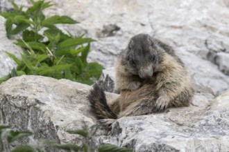
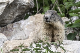
Marmot (Marmota marmota), Monte Baldo, Italy, Euro...
BRK25G11_283
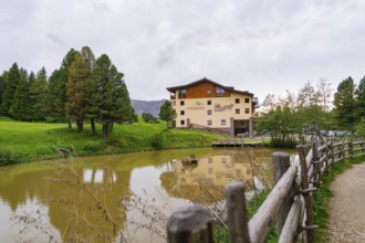
Building at a pond with surrounding trees and a wo...
BRK25G11_324
Mountaineer on the summit of Kastenegg, view of pi...
BRK25G11_460
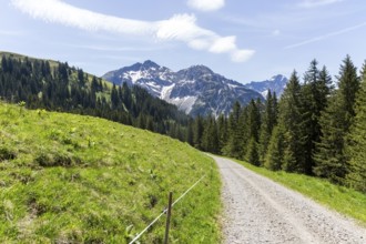
Gravel path through a green Alpine landscape with ...
BRK25G12_455
Mountaineers on a hiking trail, mountain hut Elber...
BRK25G12_497
View on the ascent to the Bösen Weibl, mountain la...
BRK25G12_498
Mountaineer in rocky high mountain landscape, view...
BRK25G13_005
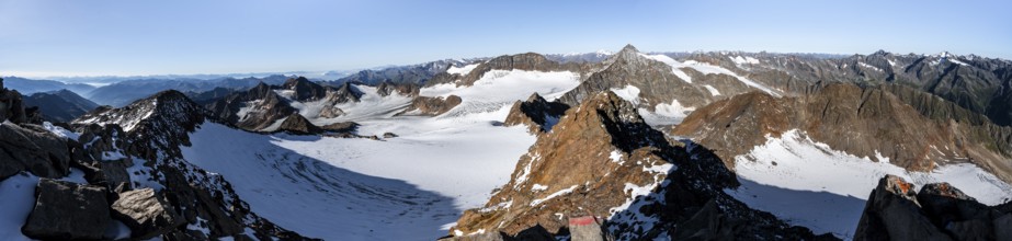
Mountain panorama at Wilder Freiger summit, pictur...
BRK25G16_003
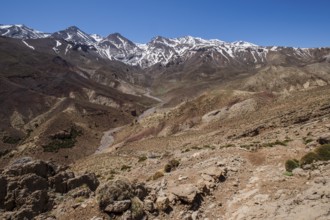
Oumassine-MGoun range from Timaratine, MGoun trek,...
BRK25G16_068
Wonderful view of the snow-covered Dachstein mount...
BRK25G16_107
View to the Kitzbüheler Horn mountain in the alps ...
BRK25G16_110
Trekking scene on the alps of Valsassina
BRK25G16_212
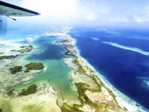
Los Roques, Venezuela. Aerial of island and beach
BRK25G16_257
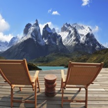
Comfortable wooden chair - chaise lounges stand on...
BRK25G19_176
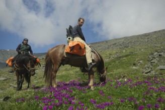
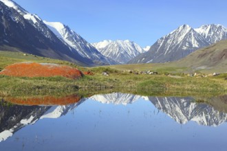
Orlov village, Altai, Russia - June 29, 2016: Peop...
BRK25G19_482
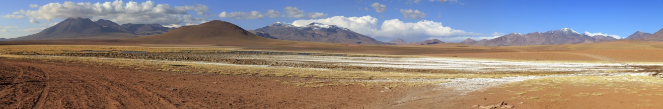
Mountain panorama in the Atacama Desert in Chile n...
BRK25G19_496
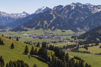
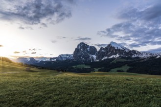
Tannheimer Tal, Tyrol, Austria, Spring, Europe
BRK25G19_498
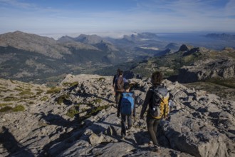
Hikers descending the Puig Tomir towards Fartaritx...
BRK25G20_081
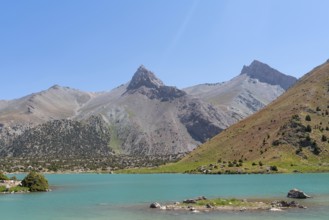
The Pamir range view and peaceful campsite on Kuli...
BRK25G22_337
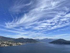
White cirrus clouds in the blue sky over a mountai...
BRK25G23_277
Rural idyll. Headwaters National Park Krimml water...
BRK25G23_323
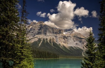
Emerald Lake and the Canadian Rocky Mountains as s...
BRK25G26_272
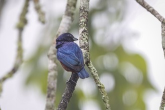
Chestnut-bellied euphonia on a tree branch from th...
BRK25G26_278
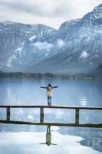
Girl with her arms open, standing on a narrow wood...
BRK25G26_306
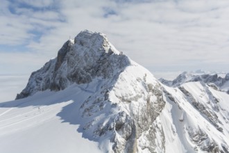
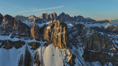
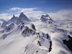
Aerial view of amazing rocky mountains in snow at ...
BRK25G26_309
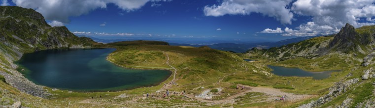
Panorama of the Seven Rila Lakes in the Rila Mount...

BRK25G26_312
Adventurous hike up to mount Lagazuoi in the Dolom...
BRK25G26_345
The picturesque River Gray is fed by the glacial m...
BRK25G26_373
The concept of ecological and extreme tourism. Col...
BRK25G29_145
Winter Landscape in Picos de Europa mountains, Can...
BRK25G29_179
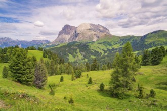
View from the Gardena Pass to the Sassolungo, Sout...
BRK25G29_223
Mountain landscape with lake in Altay, Russia, Eur...
BRK25G29_272
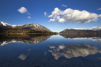
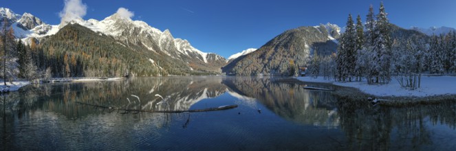
Reflection in Lake Walchensee, German Alps, Bavari...
BRK25G29_342
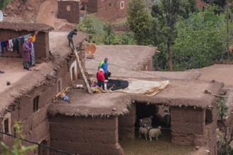
Family drying beans on a pen with sheep, Ait Blal,...
BRK25G29_360
Sacsayhuaman fortress, Inca ruins in Cusco or cuzc...
BRK25G29_368
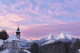
Watzmann at sunset with church, Bavaria, Berchtesg...
BRK25G31_066
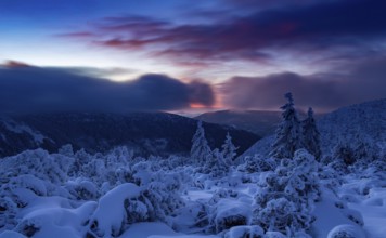
Early sunrise in the Karkonosze Mountains. Karkono...
BRK25G34_440
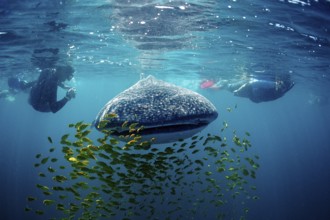
Whale shark, Rhincodon thypus, Mexico, Lake Cortez...
BRK25G40_299
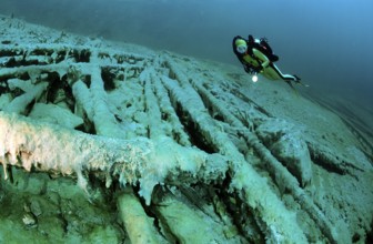
Diver in a mountain lake, Austria, Tyrol, Europe
BRK25G03_014
Pretty active senior woman snowshoeing in the Allg...
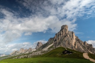
BRK25G06_026
Giau pass, italy
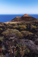
BRK25G06_315
Mountain of Lagi, a volcano cinder cone in the Isl...

BRK25G08_426
Mountaineer on the summit of Kastenegg, view of pi...
BRK25G08_485
Hiker gazes at majestic snow-capped mountain peaks...
BRK25G09_329
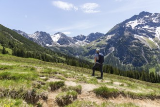
Impressive mountain landscape with green valleys a...
BRK25G10_278
Mountain landscape with limestone cliffs between g...
BRK25G11_008
Mountaineer in rocky high mountain landscape, view...
BRK25G11_033
Mountaineer in front of dramatic high mountain lan...

BRK25G11_215
Flag of Georgia with cloth texture. Close up of Ge...
BRK25G12_317
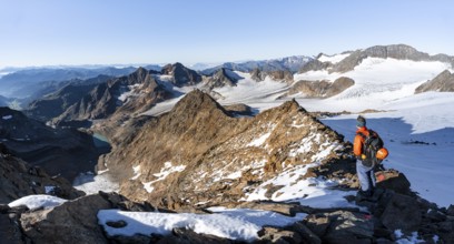
Mountaineer on the summit of Kastenegg, view of mo...
BRK25G13_130
Marmot (Marmota marmota), Monte Baldo, Italy, Euro...
BRK25G13_204
gorgeous mountain landscape in deep winter with im...
BRK25G13_223
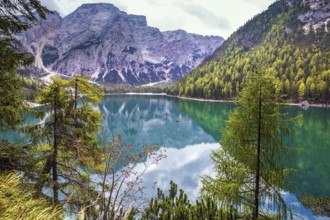
Lake Antholz
BRK25G13_241
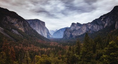
The iconic view of Yosemite Valley and the magnifi...
BRK25G13_266
Lake Antholz
BRK25G13_326
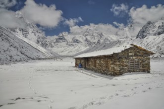
Cabin in high altitude in Himalayas mountains near...
BRK25G34_071
Stroll around the beautiful alpine lake Lago di Br...
BRK25G34_122
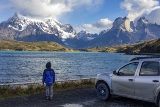
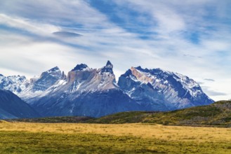
Pehoe lake in Torres del Paine chilean national pa...
BRK25G34_186
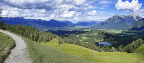
Hiking trail up the Hoher Kranzberg with a view of...
BRK25G34_193
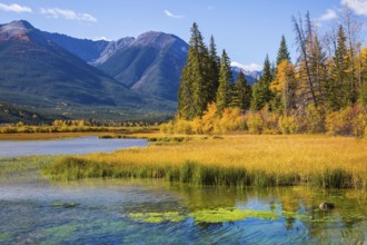
Jasper National Park, Canadian Rocky Mountains. Br...
BRK25G34_196
Magic lakes Vermillon in the Rocky Mountains of Ca...
BRK25G34_203
Beautiful photography of lake Weisssee in the High...
BRK25G34_208
Panoramic view of the Langkofel Group from Seiser ...
BRK25G34_231
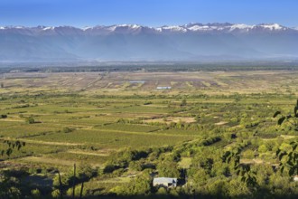
Panoramic view of Alazani valley and Caucasus Moun...
BRK25G34_482
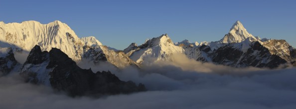
Snow covered peaks seen from Kala Patthar, Nepal, ...
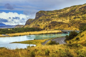
BRK25G35_004
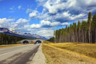
Summer in the south of Chile. Highway and bridge o...
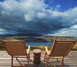
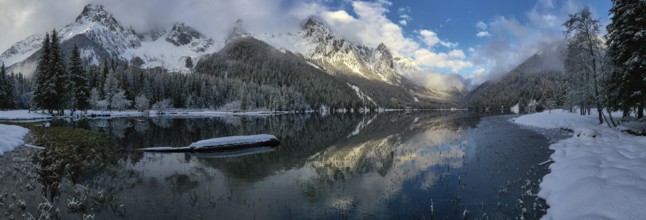
BRK25G36_390
Two comfortable wooden sun loungers on the shore o...
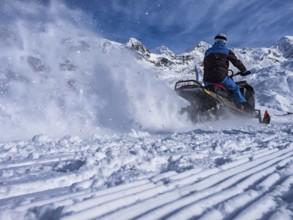
BRK25G40_073
Snowmobile on a trail in the Italian alps
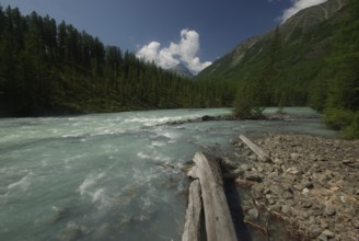
BRK25G40_164
The mountain river in the mountains. Current throu...
BRK25G40_167
Beauty of Alpine lakes set among rocks and gorges
BRK25G40_478
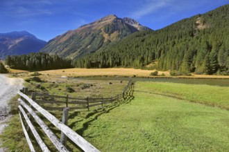
View of the beautiful mountain and large pasture a...
BRK25G42_292
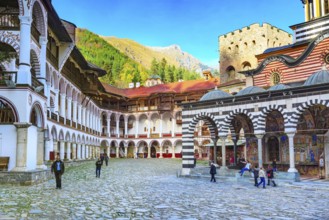
Rila, Bulgaria, October 27, 2017: Rila monastery v...
BRK25G46_427
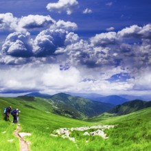
Panoramic view of Carpathians - summer meadow in m...
BRK25G47_340
Impressions from Mallnitz Hohe Tauern National Par...
BRK25G47_354
Autumn day. The shores of the glacial lake in the ...

BRK25G47_375
Three Quarter Shot of an Attractive Athletic Young...
BRK25G47_378
High Tauern mountain range at the Grossglockner hi...
BRK25G47_479
Berchtesgaden with Watzmann in autumn, Berchtesgad...

BRK25G48_043
Skier jumping on a snow park in Austrian alps
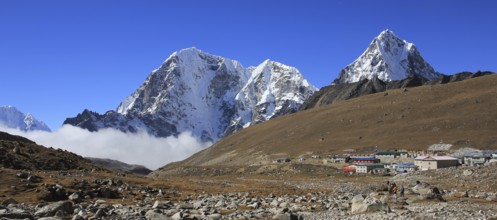
BRK25G48_069
Huts in Lobuche and snow covered mountains Tobuche...
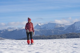
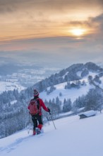
BRK25G04_183
Pretty active senior woman snowshoeing in the Allg...
BRK25G08_460
View at the Kesselkeessattel, mountain landscape w...
BRK25G08_461
Summit Böses Weibl, view of mountain landscape wit...
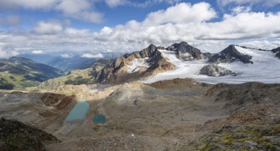
BRK25G08_484
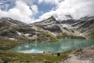
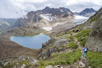
High mountain landscape, view of blue glacial lake...
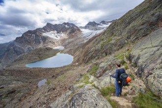
BRK25G09_078
Mountaineer on hiking trail in dramatic high mount...
BRK25G09_447
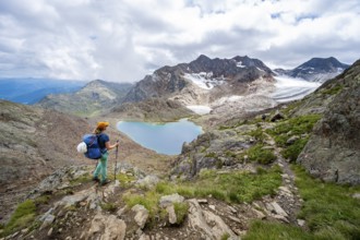
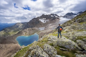
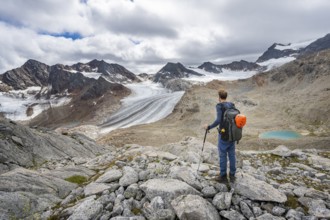
Mountaineer in high mountain landscape, view of th...
BRK25G10_010
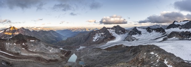
Mountain panorama over the Ridnaun valley, sunset ...
BRK25G11_079
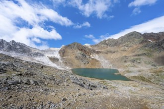
Mountain landscape with mountain lake Wangenitzsee...
BRK25G11_080
Mountain peaks reflected in a small mountain lake,...
BRK25G11_081
View of steep rocky mountain landscape with fresh ...
- Page
-
- sur
- 601