13 résultats pour : vintage map maker
- Page
-
- sur
- 1
Connectez-vous pour plus de résultats
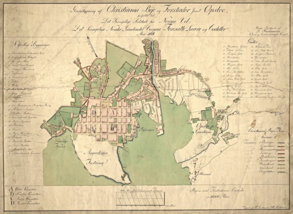
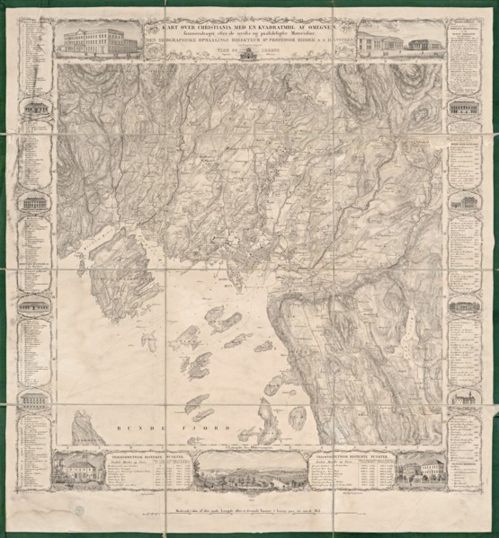
UMG22A04_187
Reichborns kart over Christiania
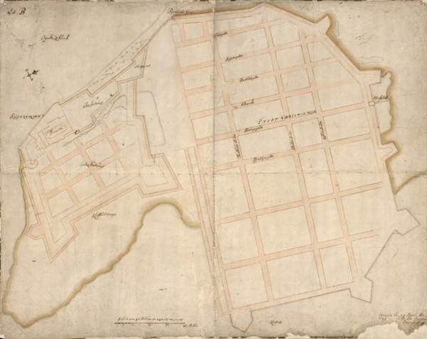
UMG22A03_495
Geelkercks kart over Christiania
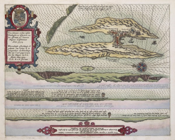
UMG22A03_072
Linschotens kart over Vardø - Cartographer Jan Huy...
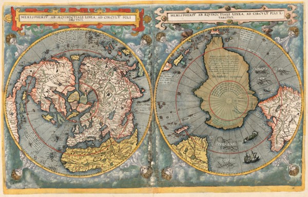
UMG22A03_311
Cornelis De Jodes verdenskart
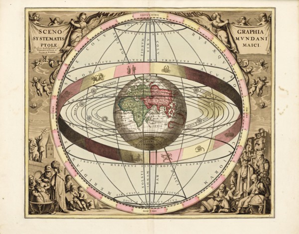
UMG21A22_217
Cellarius' Scenographia Systematis Mundani Ptolema...
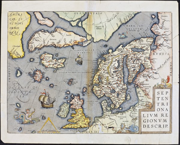
UMG21A22_218
Abraham Ortelius nordenkart, 1601 - Map of Norther...
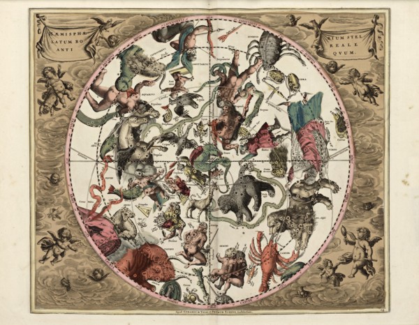
UMG21A22_215
Cellarius' Hæmisphærium Stellatum Boreale Antiqvum...
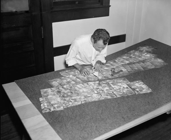
UMG21A21_002
Map maker fitting together photos for the final ma...
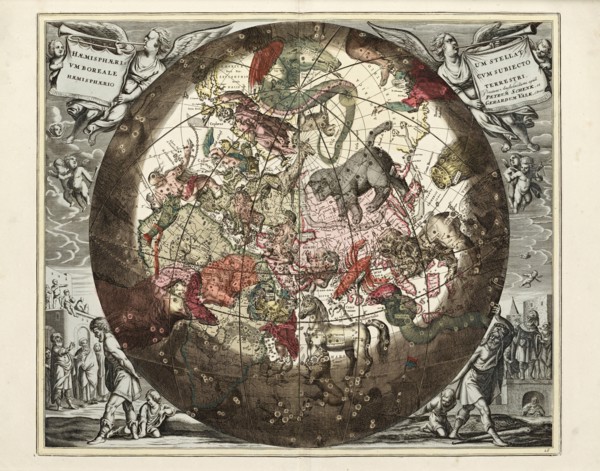
UMG21A22_216
Cellarius' Hæmisphærium Stellatvm Boreale cvm Subi...
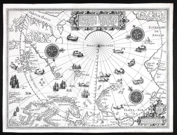
UMG21A22_213
Barentskartet, 1598.
UMG21A22_214
Cartographer Vibe og Irgens - Vibe og Irgens kart ...
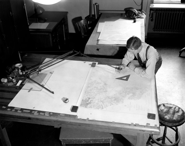
UMG21A22_026
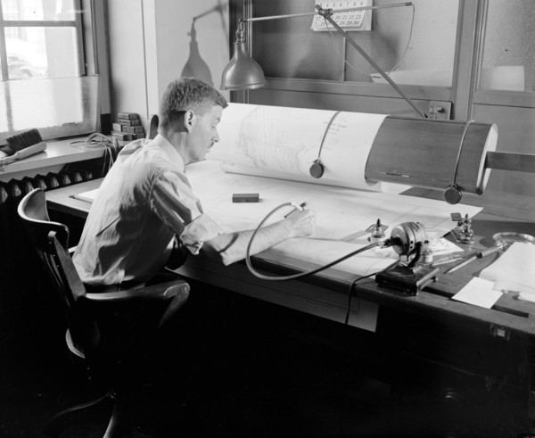
Map-making Division of Coast & Geodetic Survey, De...
UMG21A22_027