9 résultats pour : landsat
- Page
-
- sur
- 1
Connectez-vous pour plus de résultats
UMG22A40_238
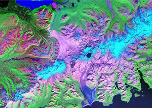
The Landsat TM image was acquired August 4, 1984, ...
UMG22A40_225
Landsat Image of the Novarupta / Katmai Area - 199...
UMG22A32_127
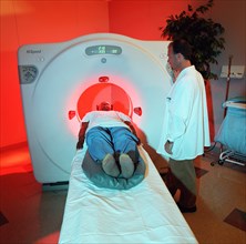
Benefit from NASA - Cat Scan X-Ray Machine ca. 200...

UMG22A32_157
Benefits from NASA ca. 2001
UMG20A03_169
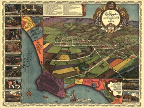
Los Angeles - 1871 1871
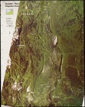
UMG20A03_168
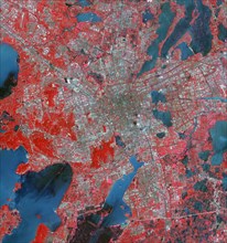
Landsat Photo of Ecuador & Peru - 1987 1987
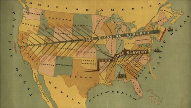
UMG20A03_165
Abolitionist Map of the United States - 1888 1888
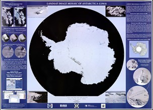
UMG20A03_179
Landsat Antarctica - 2007 2007
UMG20A03_180