90 résultats pour : archival chart
- Page
-
- sur
- 1
Connectez-vous pour plus de résultats
UMG23A55_101
An early 20th
UMG22A56_124
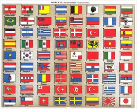
Géographie
UMG22A54_026
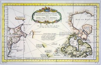
Géographie

UMG22A54_027
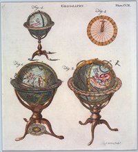
Géographie

UMG22A55_228
Géographie
UMG22A54_388
Géographie
UMG22A56_204
Géographie
UMG22A54_471
Géographie
UMG22A55_078
Géographie
UMG22A54_393
Géographie

UMG22A54_020
Géographie

UMG22A54_025
Géographie

UMG22A54_494
Géographie
UMG22A55_004
Géographie

UMG22A55_036
Géographie

UMG22A55_075
Géographie
UMG22A56_119
Géographie

UMG22A56_370
Photographie
UMG22A55_072
Géographie

UMG22A56_200
Géographie
UMG22A55_250
Géographie
UMG22A55_073
Géographie
UMG22A56_118
Géographie
UMG22A54_028
Géographie
UMG22A54_397
Géographie

UMG22A55_067
Géographie
UMG22A54_391
Géographie

UMG22A54_499
Géographie
UMG22A54_340
Géographie
UMG22A55_066
Géographie
UMG22A57_424
Géographie
UMG22A54_032
Géographie
UMG22A54_003
Géographie
UMG22A54_004
Géographie

UMG22A55_074
Géographie

UMG22A54_035
Géographie

UMG22A55_077
Géographie
UMG22A39_097
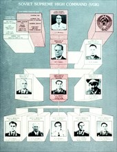
Organization of Soviet Supreme High Command
UMG22A23_290
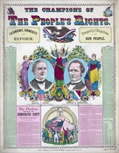
The champions of the people's right print ca. 1876
UMG22A28_370
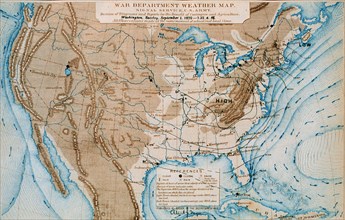
An early Signal Service weather map from September...
UMG22A32_283
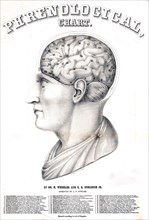
Phrenological chart ca. 1862
UMG22A24_431
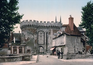
Guillaume gate, Chartres, France ca. 1890-1900
UMG22A27_315
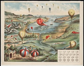
Gameboard shows a varied landscape and waterfront ...
UMG22A29_414
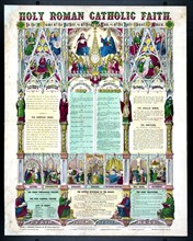
Holy Roman Catholic faith ca. 1871
UMG22A24_453
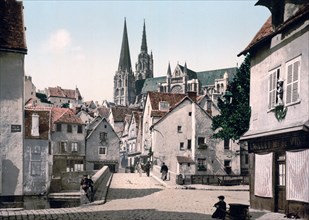
The market street, Chartres, France ca. 1890-1900
UMG22A29_294
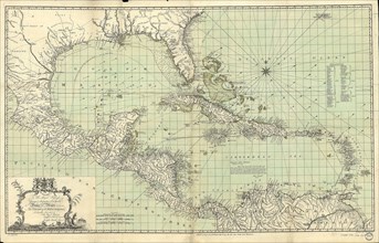
Vintage Maps / Antique Maps - An exact chart of th...
UMG22A30_053
Vintage Maps / Antique Maps - To His Royal Highnes...
UMG22A20_477
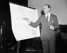
Man pointing to a map chart
UMG22A18_471
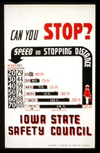
Can you stop?
UMG22A20_452
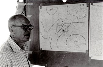
Man Examines National Weather Service Wind Charts ...
UMG22A20_287
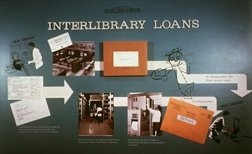
Interlibrary loan flow
UMG22A20_476
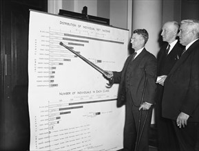
Man pointing to a chart showing distribution of in...
UMG22A21_021
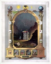
Masonic chart ca 1872
UMG22A21_059
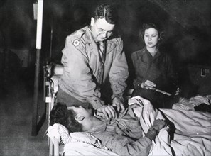
Military doctor and nurse tend to wounded soldier ...
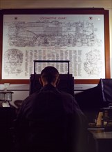
UMG22A20_407
Locomotive lubrication chart
![Garfield Hospital, eye chart on the wall [Washington, D.C.] ca. between 1918 and 1928](https://lres.photo12.com/th/t-umg22a13_081.jpg)
UMG22A13_081
Garfield Hospital, eye chart on the wall [Washingt...
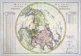
UMG22A06_497
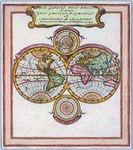
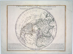
World map on the plane of the equator. Northern He...

UMG22A07_161
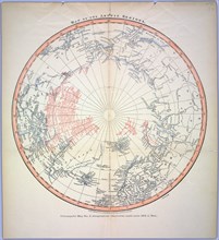
Reduced map of the northern parts of the world
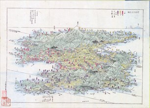
UMG22A07_247
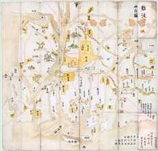
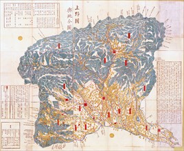
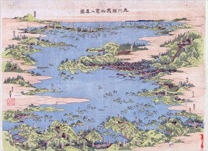
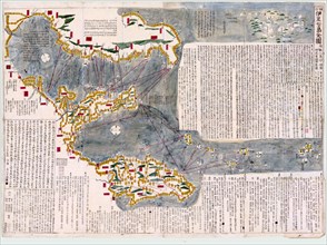
Panoramic view of the mountains and rivers of Sado...

UMG22A06_449
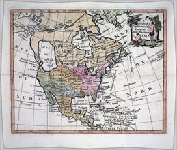
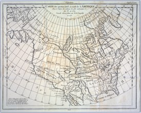
North America divided into its principal nations

UMG22A06_496
A new map of North America agreeable to the latest...
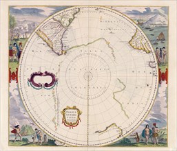
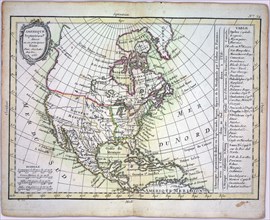
UMG22A06_344
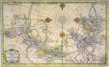
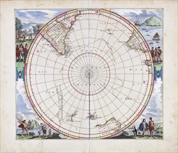
Polus Antarcticus Terra Australis Incognita / Henr...

UMG22A06_354
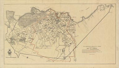
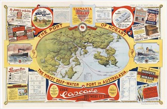
The Port of Hobart the finest deep
UMG22A06_362
Geographical map of Kozuke Province
UMG22A06_422
Terra Australis Incognita
UMG22A06_490
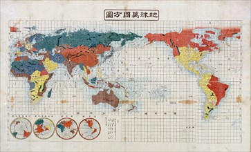
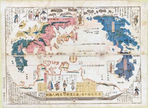
Square map of all the countries on the globe

UMG22A06_485
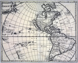
Vintage map of America ca. 1697

UMG22A07_155
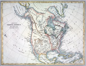
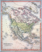
Hand coloured map of North America ca. 1836
UMG22A09_010
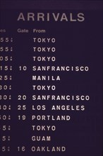
Honolulu International Airport

UMG22A06_412
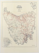
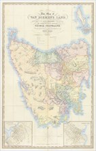
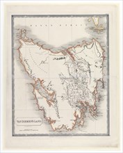
Tourist map of Tasmania ca. 1932
UMG22A06_443
Panoramic view of Shiogama and Matsushima, Mutsu P...
UMG22A06_480
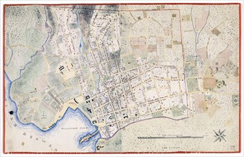
Hobart Town Map

UMG22A06_486
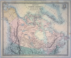
British North America Map

UMG22A07_154
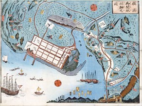
Detailed map of the developed port of Yokohama
UMG22A06_349
Van Diemen's Land Map ca. 1828

UMG22A06_479
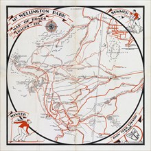
Mt. Wellington Park map of roads, tracks, etc. ca....

UMG22A06_288
Map of Van Diemen's Land
UMG22A06_488
Map of all the countries of the world and pictures...
UMG22A06_436
Revised and enlarged map of the Izu Seven Islands
UMG22A06_495
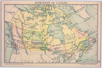
Dominion of Canada Map
UMG21A22_046
Captain John C. Prendergast chief of the uniformed...
UMG21A22_073
Weather employee at typical weather station with a...
UMG21A21_339
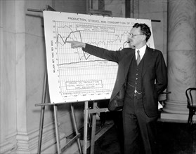
F.G. Tryon, of the market statistics unit of the N...
UMG21A22_434
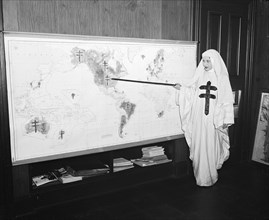
Miss Mildred Showalter of Washington, dressed as t...
UMG21A22_468
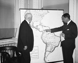
R. Walton Moore, Assistant Secretary of State, lef...
UMG21A22_391
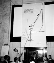
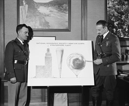
National Geographic Society, Army Air Corps, Strat...
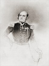
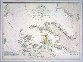
UMG20B27_289
Sir John Franklin
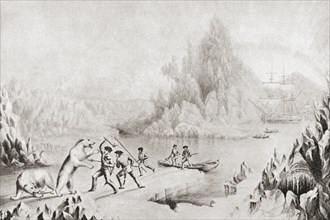
UMG20B26_499
A relief party in search of Sir Jon Franklin
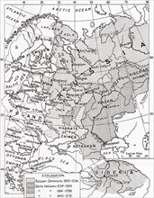
UMG20B19_451
Map of Russia in the 16th and 17th centuries
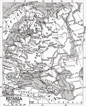
UMG20B19_452