Période

4 résultats pour : 1930s catographer

  • Page
  • sur
  • 1
Connectez-vous pour plus de résultats
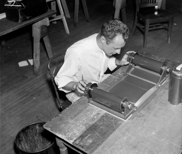
A worker using a planimetor, which measures the exact acreage in each section of land surface photographed circa 1937.
UMG21A21_004

A worker using a planimetor, which measures the ex...
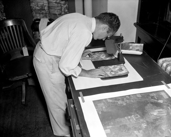
A worker is shown making a stereoscopic examination of the finished photographic prints to determine the relief or elevation of land surface for a map of the United States circa 1937.
UMG21A21_003

A worker is shown making a stereoscopic examinatio...
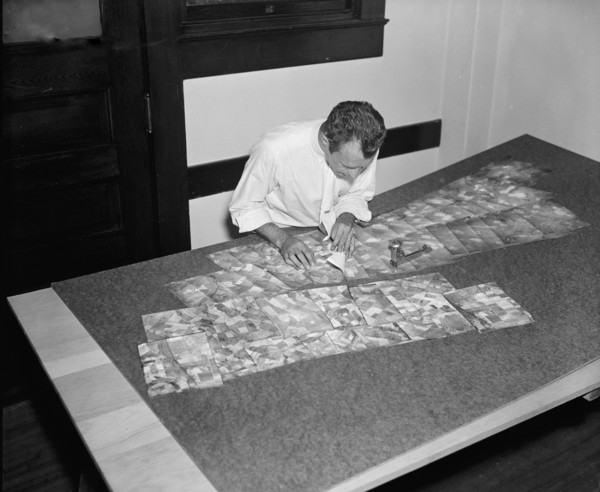
Map maker fitting together photos for the final map circa 1937.
UMG21A21_002

Map maker fitting together photos for the final ma...
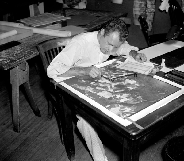
A worker is shown inspecting a roll of film for flaws before it is sent to the laboratory to be printed circa 1937.
UMG21A21_001

A worker is shown inspecting a roll of film for fl...