30 résultats pour : 1900s map
- Page
-
- sur
- 1
Connectez-vous pour plus de résultats
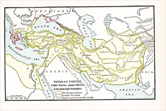
UMG24A35_058
Persian Empire under Darius about 500 BC. with pri...
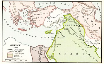
UMG24A35_062
Greece and the Orient about B.C. 1250. The legend ...
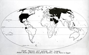
UMG23A59_243
Map of 1920, Chief nations still outside the leagu...
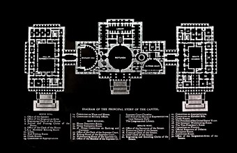
UMG23A56_245
Principal Story Of The Capitol Building.
UMG23A59_426
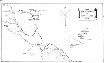
Map Of Lindisfarne and farn.
UMG22A54_471
Géographie

UMG22A27_082
Young America hams and breakfast bacon, E.S. Baker...
UMG22A17_439
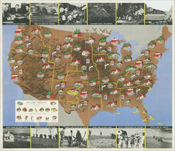
1936 Resettlement Administration Projects Map CA 1...
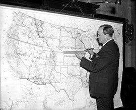
UMG22A20_477
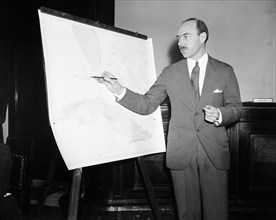
Man pointing to a map chart
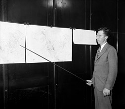
UMG22A20_479
Man pointing to weather maps
UMG22A20_140
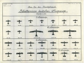
German Aircraft Recognition Chart June 1918
UMG22A20_450
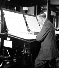
Man creating weather maps
UMG22A11_387
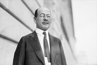
Congressman Carl E. Mapes of Michigan ca. between ...
UMG22A13_149
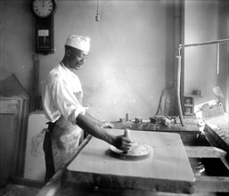
African American man in the process of map making,...
UMG22A04_302
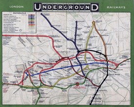
London Underground map from 1908.
UMG21A21_004
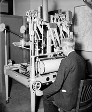
A worker using a planimetor, which measures the ex...
UMG21A21_003
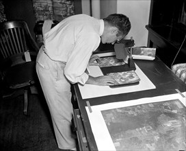
A worker is shown making a stereoscopic examinatio...
UMG21A21_002
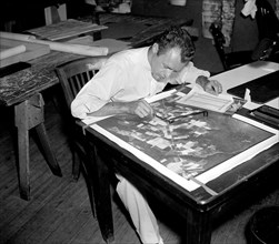
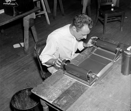
Map maker fitting together photos for the final ma...

UMG21A21_279
Geological Survey. Washington, D.C., March 13. Alb...
UMG21A21_001
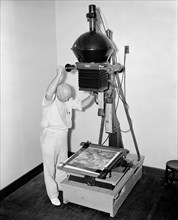
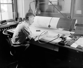
A worker is shown inspecting a roll of film for fl...
UMG21A21_280
Geological Survey, Dept. Interior. Washington, D.C...
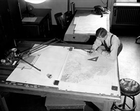
UMG21A20_500
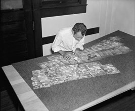
Map making - photographer making prints of a map c...
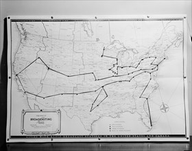
UMG21A21_365
1938 United States broadcasting map .
UMG21A22_026
Map-making Division of Coast & Geodetic Survey, De...
UMG21A21_346
Senator Robert Bulkley, D. of Ohio introduced a bi...
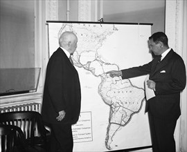
UMG21A22_468
R. Walton Moore, Assistant Secretary of State, lef...
UMG21A22_027
Map-making Division of Coast & Geodetic Survey, De...
UMG20A18_231
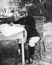
Count Nogi Maresuke
UMG20A18_230
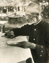
Count Nogi Maresuke
UMG20A18_247