13 résultats pour : 16th century italy map
- Page
-
- sur
- 1
Connectez-vous pour plus de résultats
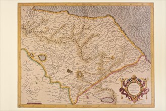
UMG23A66_398
Carte géographique du 16e siècle
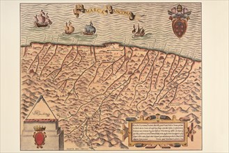
UMG23A66_399
Carte géographique du 16e siècle
UMG22A67_399
Head of the World.
UMG22A24_497
Abraham Ortelius - First World Atlas ca. 1570 - It...
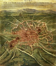
UMG20B38_345
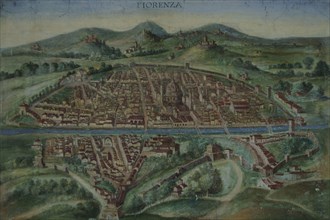
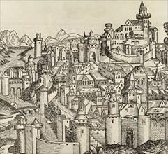
Florence. Map of the city in 16th century.
UMG20B38_189
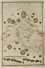
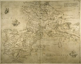
Western Mediterranean.
UMG20B37_085
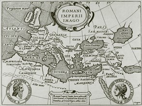
Romani Imperii Imago.
UMG20B40_200
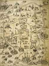
Italy, Pisa.
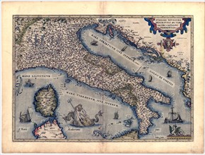
UMG20B36_195
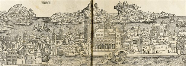
Italy. Cities of Mantua, Bologna, Venice, Modena, ...
UMG20B36_314
Pisa. Italy. Engraving.
UMG20B38_037
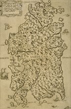
Map of Sardinia. Mediterranean Sea. Italian engrav...
UMG20B36_200
Iberian Peninsula, France and northern Italy.
UMG20B36_290