12 résultats pour : great britain map
- Page
-
- sur
- 1
Connectez-vous pour plus de résultats
LZT19B32_176
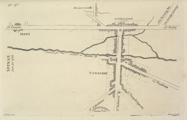
Newberry, Itinerarium curiosum or, An account of t...
LZT16A02_308
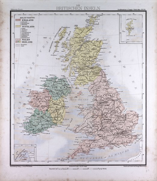
Great Britain and Ireland, atlas by Th. von Liecht...
LZT16A00_223
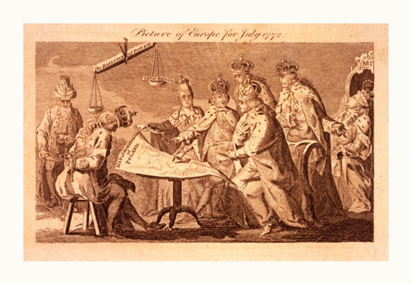
Picture of Europe for July 1772, Catherine II, Leo...
LZT16A02_304
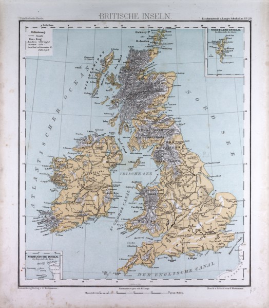
Great Britain and Ireland, atlas by Th. von Liecht...
LZT16A62_135
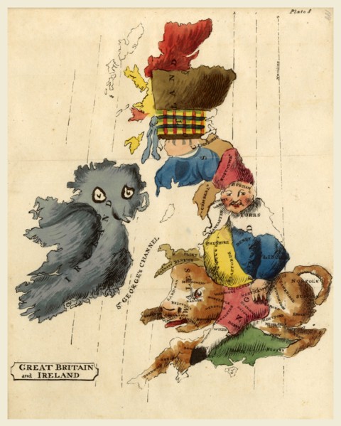
Map Great Britain and Ireland, Memoria Philosophic...
LZT16A70_096
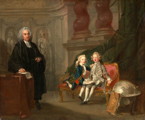
Prince George and Prince Edward Augustus, Sons of ...
LZT16A63_115
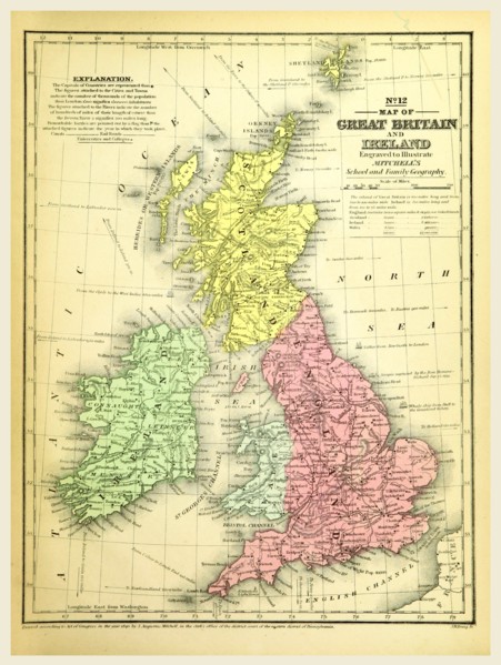
Map of Great Britain and Ireland, 19th century eng...
LZT13A00_087
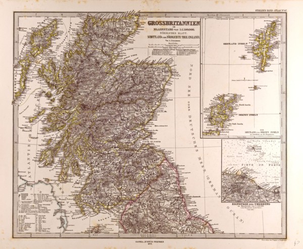
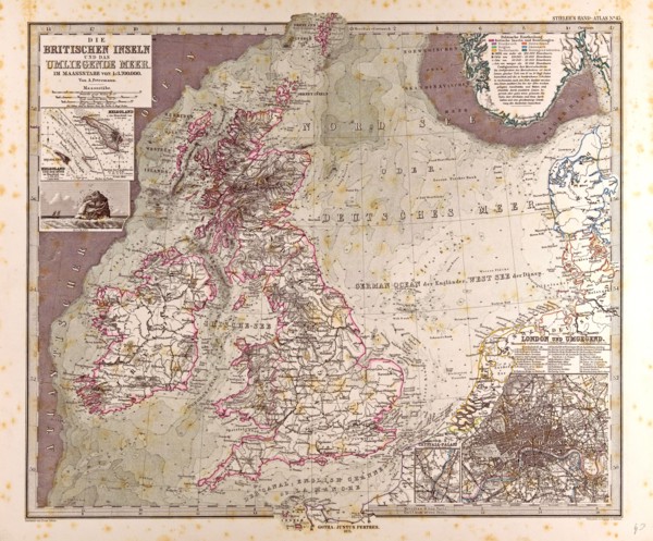
Great Britain Map Scotland 1872 Gotha, Justus Pert...
LZT13A17_042
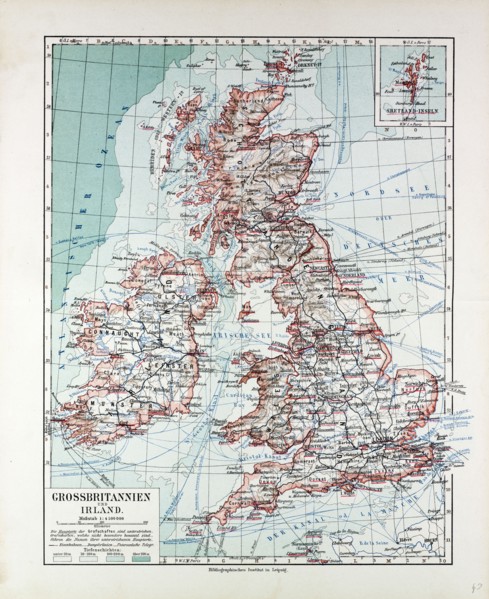
MAP OF GREAT BRITAIN AND IRELAND, 1899
LZT13A17_044
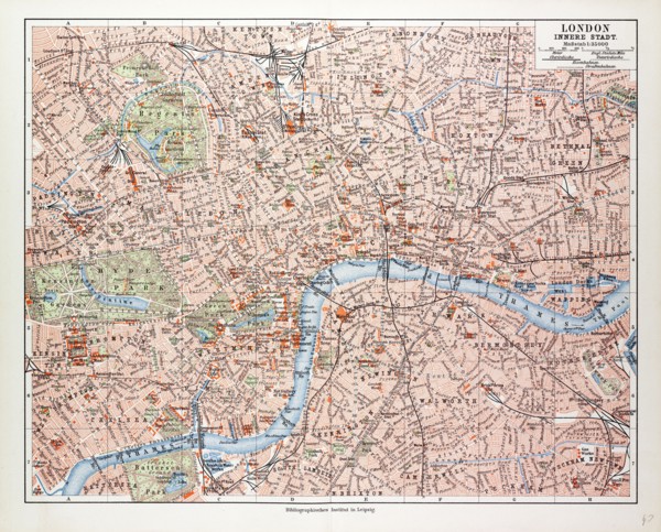
MAP OF THE CENTRE OF LONDON, GREAT BRITAIN, 1899
LZT13A00_088
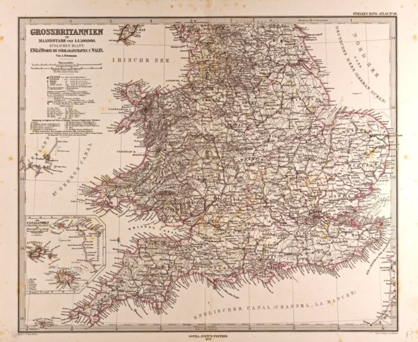
Great Britain Map 1872 Gotha, Justus Perthes, 1872...
LZT13A00_089