73 résultats pour : earth ships
- Page
-
- sur
- 1
Connectez-vous pour plus de résultats

LZT19B51_123
Scene tile, lighthouse, manganese decor on white g...
LZT19B51_125
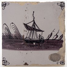
Earthenware tile with sailing ship at anchor, spin...

LZT19B51_127
Pottery tile with windmill, spinnekop corner decor...
LZT19B51_126
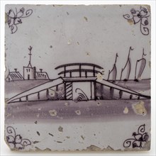
Pottery tile with bridge, spinnekop corner decorat...

LZT19B63_143
Faience plate on wide stand ring, with landscape i...
LZT16A27_338
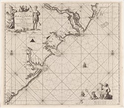
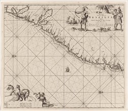
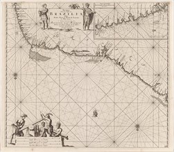
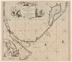
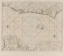
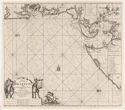
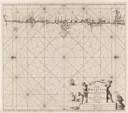
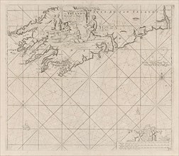
Sea chart of part of the coast of Brazil, Jan Luyk...
LZT16A27_412
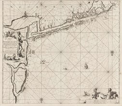
Sea chart of part of the coast of the Kola peninsu...
LZT16A27_430
Sea chart of the Danish Islands, part of the coast...
LZT16A27_439
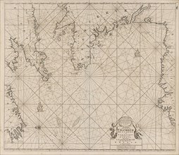
Sea chart of the Baltic and North Sea, Jan Luyken,...
LZT16A27_394
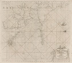
Sea chart of part of the south coast of Brittany, ...
LZT16A27_403
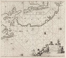
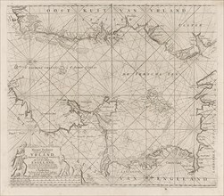
Sea chart of the coast of Ireland, Scotland, Engla...
LZT16A27_339
Sea chart of part of the east coast of Brazil, pri...
LZT16A27_348
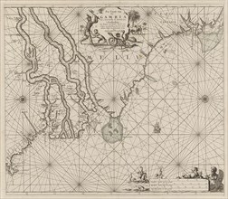
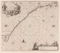
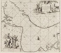
Sea chart of the coast of Gambia and part of the c...
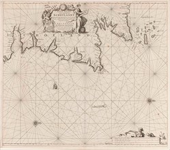
LZT16A27_395
Map of the west coast of Brittany, Anonymous, Clae...
LZT16A27_340
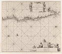
Sea chart of the east coast of Brazil, Jan Luyken,...
LZT16A27_441
Sea chart of part of the coast of Ireland, England...
LZT16A27_351
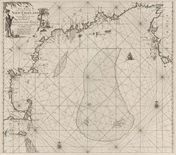
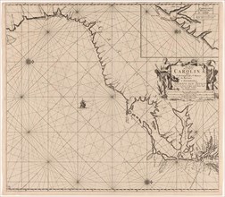
Sea chart of part of the east coast of the United ...
LZT16A27_392
Sea chart of Saintonge and Aunis, Anonymous, Claes...
LZT16A27_405
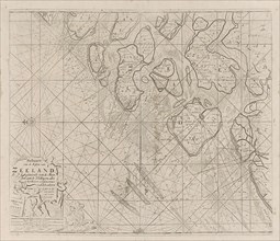
Sea chart of the Zeeland Islands and part of the N...
LZT16A27_428
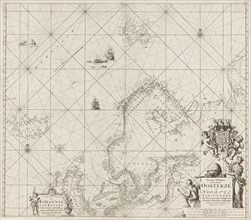
Sea chart of part of the coast of Norway, print ma...
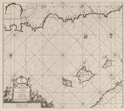
LZT16A27_450
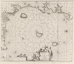
Sea chart of the Canary Islands, print maker: Jan ...
LZT16A27_341
Sea chart of a portion of the northeast coast of B...
LZT16A27_451
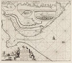
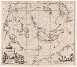
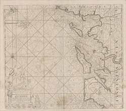
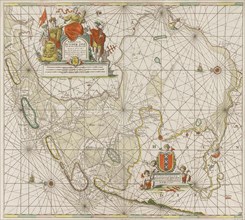
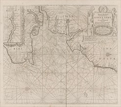
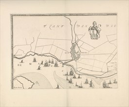
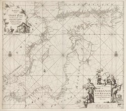
Sea chart of the Zuiderzee and the Wadden Sea, Jan...
LZT16A27_350
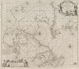
Sea chart a part of the coast of northern Canada a...
LZT16A27_393
Sea chart of the coast of France between the islan...
LZT16A27_404
Sea chart of part of the east coast of England at ...
LZT16A39_340
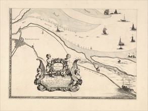
Map of Maassluis and the banks of the Meuse, The N...
LZT16A25_354
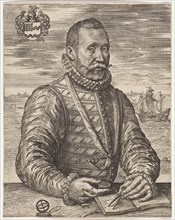
Portrait of a naval officer William Bloys van Tres...
LZT16A27_335
Sea chart of part of the coast of Brazil, Uruguay ...
LZT16A27_353
Sea chart of part of the east coast of the United ...
LZT16A27_408
Sea chart of the Atlantic Ocean to the west coast ...
LZT16A27_434
Sea chart of part of the Elbe, the Weser and Jadeb...
LZT16A39_341
Map of Brielle and the banks of the Meuse, The Net...

LZT16A24_278
Portrait of Gerardus Oorthuys, Robbert Muys, Jan K...
LZT16A31_305
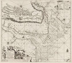
Map of the North Sea and the coast of Holland, Jac...
LZT16A27_352
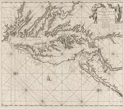
Sea chart of part of the coast of Virginia, Jan Lu...
LZT16A27_391
Sea chart of the River Gironde to Bordeaux, Anonym...
LZT16A27_398
Sea chart of part of the Irish Sea between Ireland...
LZT16A27_424
Sea chart of part of the northeast coast of Englan...
LZT16A27_344
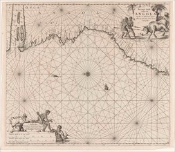
Sea chart of the coast of Congo and Angola, Jan Lu...
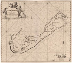
LZT16A27_355
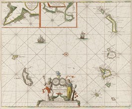
Sea chart of Bermuda, Jan Luyken, Claes Jansz Voog...
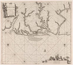
LZT16A27_366
Sea chart of various Surinamese rivers, Jan Luyken...
LZT16A27_379
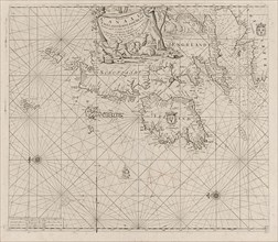
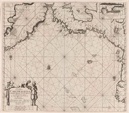
Sea chart of a part of the Mediterranean Sea with ...
LZT16A27_388
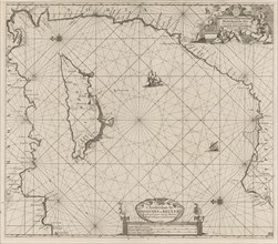
Sea chart of part of the south coast of Portugal, ...
LZT16A27_423
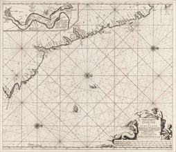
Sea chart of part of north east coast of Scotland ...
LZT16A27_345
Sea chart of the coast of Congo, Gabon and Angola,...
LZT16A27_367
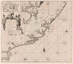
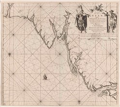
Sea chart of the coast of French Guiana, Jan Luyke...
LZT16A27_411
Sea chart of part of the White Sea in Russia, Jan ...
LZT16A27_389
Sea chart of a portion of the Bay of Biscay in Bil...
LZT16A27_422
Sea chart of the Baltic Sea from Rostock to Vyborg...
LZT16A27_346
Sea chart of the coast of Equatorial Guinea, Gabon...
LZT16A27_357
Sea chart of part of the Gulf of Mexico, with the ...
LZT16A27_356
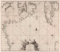
Sea chart of part of southeastern Florida and nort...
LZT16A27_365
Sea chart of part of the coast of Suriname and Guy...
LZT16A27_337
Sea chart of part of the coast of Brazil in the Mo...
LZT16A27_373
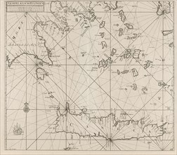
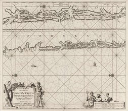
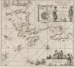
Sea chart of the southern part of the Aegean Crete...
LZT16A27_427
Sea chart of part of the coast of Norway near Berg...
LZT16A27_336
Sea map of part of the coast of Brazil, Jan Luyken...
LZT16A27_363
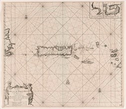
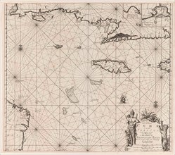
Sea chart of Puerto Rico, Jan Luyken, Claes Jansz ...
LZT16A27_426
Sea chart of the coast of Norway near Trondheim, J...
LZT16A27_437
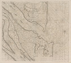
Sea chart of the Zuiderzee and the Wadden Sea, Jan...
LZT16A27_360
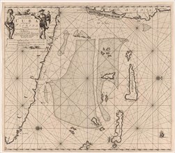
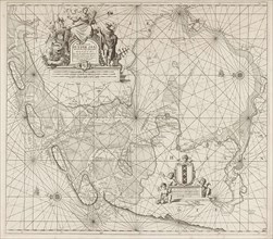
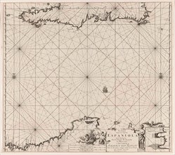
Sea chart of the north coast of Hispaniola, with t...
LZT16A34_213
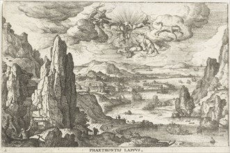
Phaethon drives the solar wagon, Hans Bol, Anonymo...
LZT16A27_361
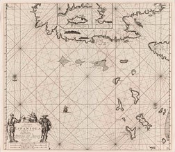
Sea chart of Haiti, the Dominican Republic, Venezu...
LZT16A27_406
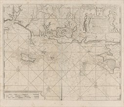
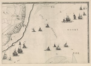
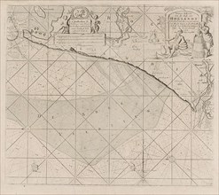
Sea chart of the coast of Holland between Texel an...
LZT16A27_358
Sea chart of the south coast of Cuba and Jamaica, ...
LZT16A27_369
Sea chart of the southeastern part of the Aegean S...
LZT16A27_387
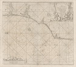
Sea chart of a portion of the south coast of Portu...
LZT16A27_396
Map of part of the south coast of Ireland, Jan Luy...
LZT16A27_359
Sea chart of the coasts of Colombia, Panama, Costa...
LZT16A27_368
Sea chart of the eastern part of the Mediterranean...
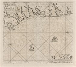
LZT16A27_386
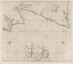
Sea map of part of the coast of Portugal, Jan Luyk...
LZT16A27_397