26 résultats pour : claes jansz voogt
- Page
-
- sur
- 1
Connectez-vous pour plus de résultats
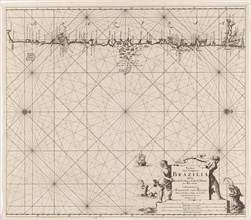
LZT16A27_338
Sea chart of part of the coast of Brazil, Jan Luyk...
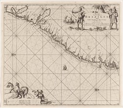
LZT16A27_339
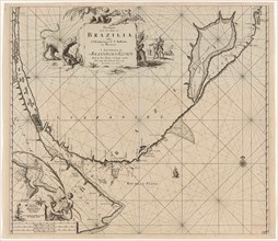
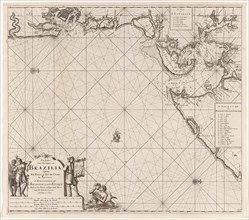
Sea chart of part of the east coast of Brazil, pri...
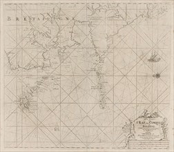
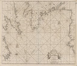
LZT16A27_395
Map of the west coast of Brittany, Anonymous, Clae...
LZT16A27_340
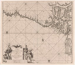
Sea chart of the east coast of Brazil, Jan Luyken,...
LZT16A27_441
Sea chart of part of the coast of Ireland, England...
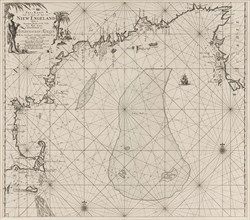
LZT16A27_351
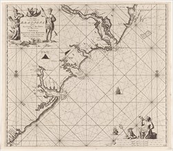
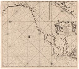
Sea chart of part of the east coast of the United ...
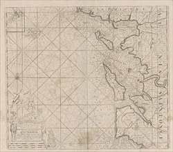
LZT16A27_392
Sea chart of Saintonge and Aunis, Anonymous, Claes...
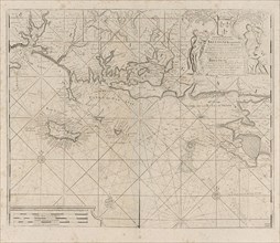
LZT16A27_393
Sea chart of the coast of France between the islan...
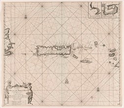
LZT16A27_335
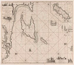
Sea chart of part of the coast of Brazil, Uruguay ...
LZT16A27_342
Sea chart of part of the coast of Brazil with the ...
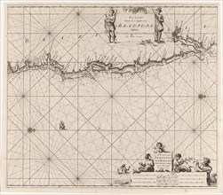
LZT16A27_353
Sea chart of part of the east coast of the United ...
LZT16A27_352
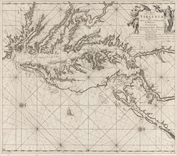
Sea chart of part of the coast of Virginia, Jan Lu...
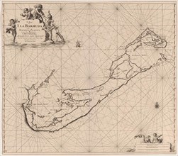
LZT16A27_355
Sea chart of Bermuda, Jan Luyken, Claes Jansz Voog...
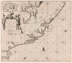
LZT16A27_367
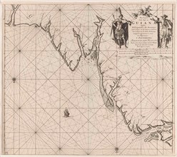
Sea chart of the coast of French Guiana, Jan Luyke...
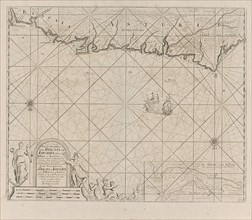
LZT16A27_389
Sea chart of a portion of the Bay of Biscay in Bil...
LZT16A27_357
Sea chart of part of the Gulf of Mexico, with the ...
LZT16A27_364
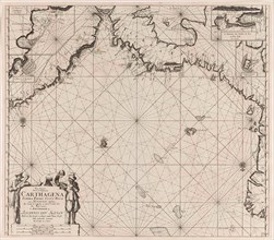
Sea chart of the Gulf of Paria to the mouth of the...
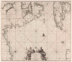
LZT16A27_356
Sea chart of part of southeastern Florida and nort...
LZT16A27_365
Sea chart of part of the coast of Suriname and Guy...
LZT16A27_337
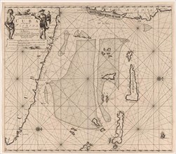
Sea chart of part of the coast of Brazil in the Mo...
LZT16A27_336
Sea map of part of the coast of Brazil, Jan Luyken...
LZT16A27_363
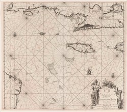
Sea chart of Puerto Rico, Jan Luyken, Claes Jansz ...
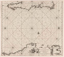
LZT16A27_360
Sea chart of the north coast of Hispaniola, with t...
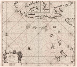
LZT16A27_361
Sea chart of Haiti, the Dominican Republic, Venezu...
LZT16A27_358
Sea chart of the south coast of Cuba and Jamaica, ...
LZT16A27_359